
Upton County Rolled Sketch 31
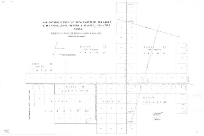
Upton County Rolled Sketch 36
1952

Tom Green County Sketch File 14

Tom Green County Sketch File 56
1883

Tom Green County Sketch File 62
1890
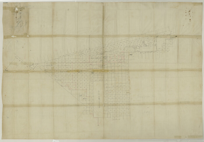
Upton County Sketch File 2

Reagan County Sketch File 8
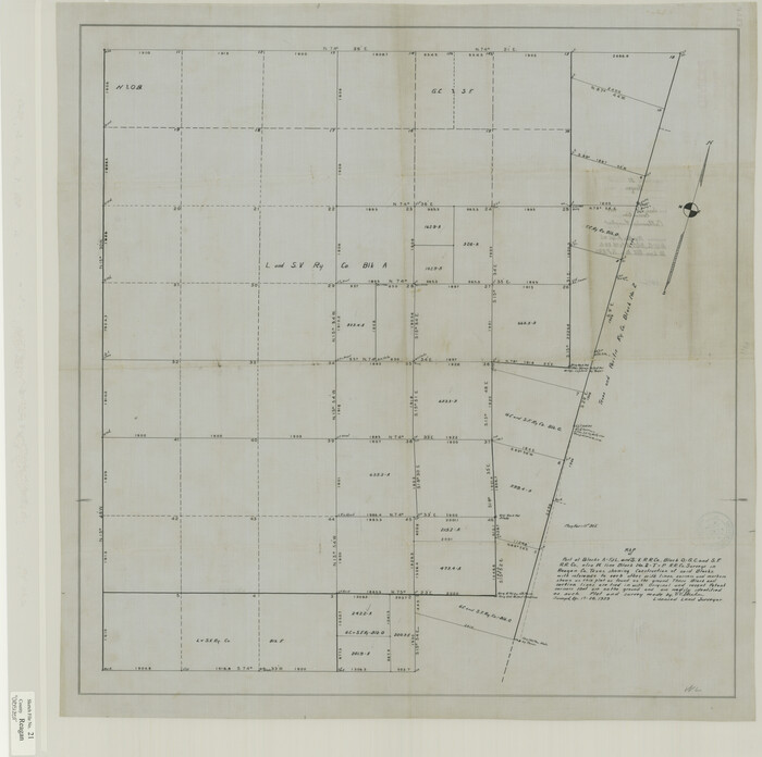
Reagan County Sketch File 21
1939
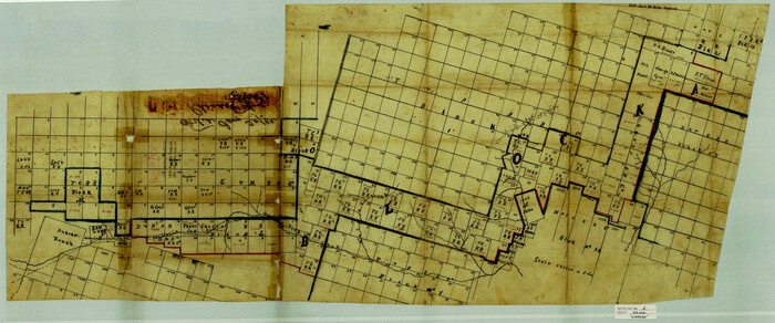
Irion County Sketch File 1
1881

Reagan County Rolled Sketch 2
1903

Reagan County Rolled Sketch 17

Upton County Rolled Sketch 36A
1952

Midland County Rolled Sketch 4

Midland County Rolled Sketch 4B
1951
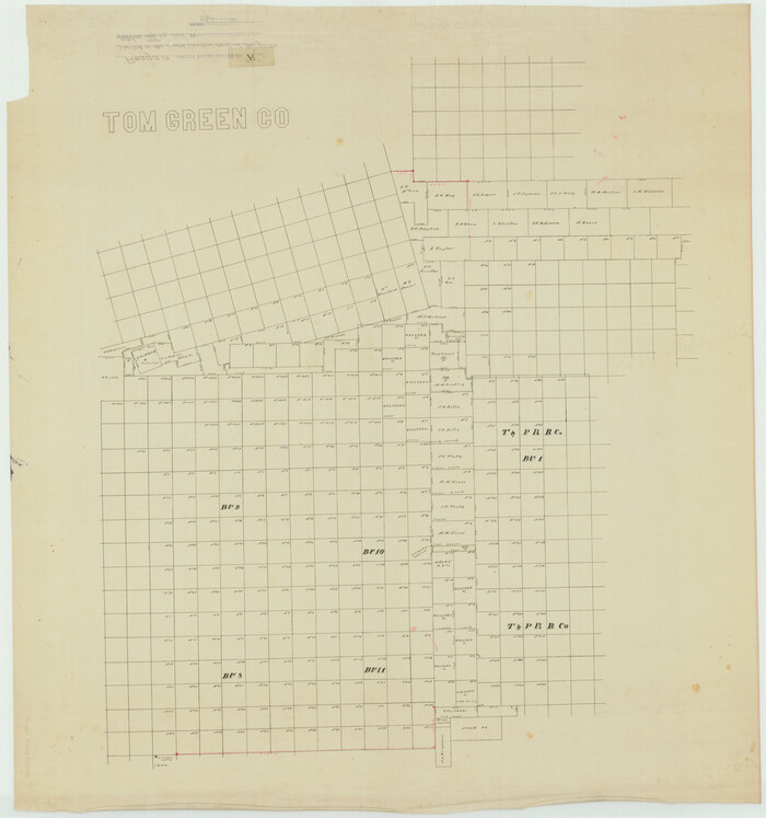
Reagan County Rolled Sketch R

Crane County Sketch File 3b
1881
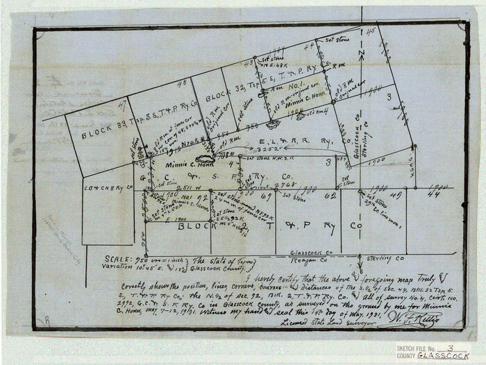
Glasscock County Sketch File 3
1931

Glasscock County Sketch File 25
1951
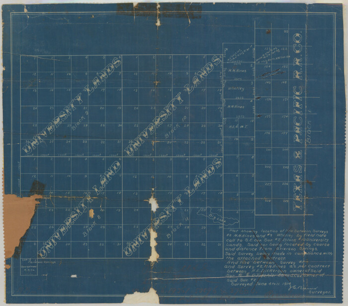
Reagan County Sketch File 1
1914

Reagan County Sketch File 2A
1882
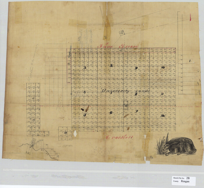
Reagan County Sketch File 2B
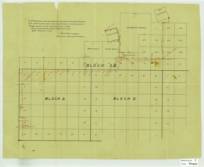
Reagan County Sketch File 3

Reagan County Sketch File 4
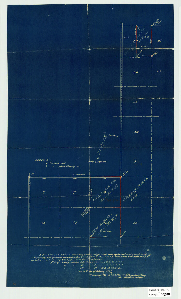
Reagan County Sketch File 6
1927
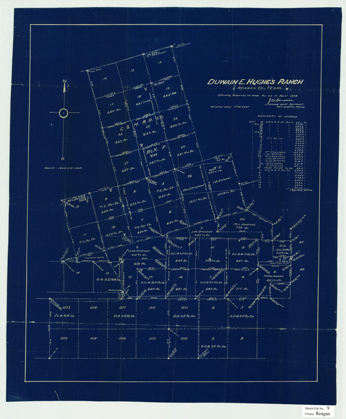
Reagan County Sketch File 9
1928

Reagan County Sketch File 11
1928

Reagan County Sketch File 12
1928
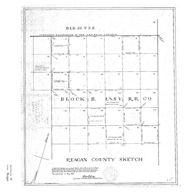
Reagan County Sketch File 18
1936

Reagan County Sketch File 19
1937
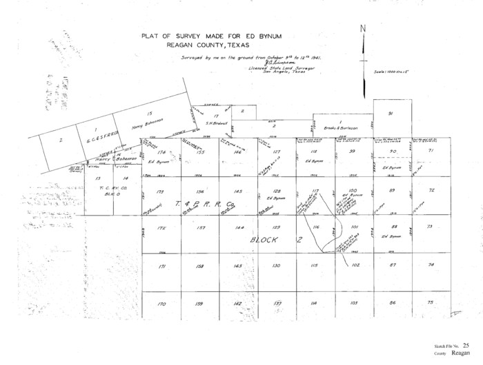
Reagan County Sketch File 25
1941

Upton County Rolled Sketch 31
-
Size
27.2 x 53.4 inches
-
Map/Doc
10048

Upton County Rolled Sketch 36
1952
-
Size
42.9 x 64.2 inches
-
Map/Doc
10051
-
Creation Date
1952

Tom Green County Sketch File 14
-
Size
34.8 x 45.7 inches
-
Map/Doc
10401

Tom Green County Sketch File 56
1883
-
Size
34.5 x 47.5 inches
-
Map/Doc
10404
-
Creation Date
1883

Tom Green County Sketch File 62
1890
-
Size
27.7 x 43.9 inches
-
Map/Doc
10405
-
Creation Date
1890

Upton County Sketch File 2
-
Size
38.5 x 55.4 inches
-
Map/Doc
10413

Reagan County Sketch File 8
-
Size
25.6 x 47.6 inches
-
Map/Doc
10584

Reagan County Sketch File 21
1939
-
Size
31.1 x 31.3 inches
-
Map/Doc
10585
-
Creation Date
1939

Irion County Sketch File 1
1881
-
Size
43.9 x 18.3 inches
-
Map/Doc
10615
-
Creation Date
1881

Reagan County Rolled Sketch 2
1903
-
Size
52.4 x 37.3 inches
-
Map/Doc
10621
-
Creation Date
1903

Reagan County Rolled Sketch 17
-
Size
33.9 x 32.6 inches
-
Map/Doc
10623

Upton County Rolled Sketch 36A
1952
-
Size
43.5 x 65.8 inches
-
Map/Doc
10661
-
Creation Date
1952

Midland County Rolled Sketch 4
-
Size
43.5 x 85.6 inches
-
Map/Doc
10696

Midland County Rolled Sketch 4B
1951
-
Size
77.5 x 25.1 inches
-
Map/Doc
10725
-
Creation Date
1951

Reagan County Rolled Sketch R
-
Size
33.0 x 31.0 inches
-
Map/Doc
10734

Crane County Sketch File 3b
1881
-
Size
11.9 x 38.6 inches
-
Map/Doc
11206
-
Creation Date
1881

Glasscock County Sketch File 3
1931
-
Size
11.1 x 14.8 inches
-
Map/Doc
11560
-
Creation Date
1931

Glasscock County Sketch File 25
1951
-
Size
28.8 x 20.6 inches
-
Map/Doc
11566
-
Creation Date
1951

Reagan County Sketch File 1
1914
-
Size
24.3 x 30.3 inches
-
Map/Doc
12210
-
Creation Date
1914

Reagan County Sketch File 2A
1882
-
Size
9.1 x 17.6 inches
-
Map/Doc
12211
-
Creation Date
1882

Reagan County Sketch File 2B
-
Size
20.4 x 22.2 inches
-
Map/Doc
12212

Reagan County Sketch File 3
-
Size
18.0 x 21.9 inches
-
Map/Doc
12213

Reagan County Sketch File 4
-
Size
20.8 x 29.8 inches
-
Map/Doc
12214

Reagan County Sketch File 6
1927
-
Size
23.4 x 14.1 inches
-
Map/Doc
12215
-
Creation Date
1927

Reagan County Sketch File 9
1928
-
Size
27.0 x 22.3 inches
-
Map/Doc
12216
-
Creation Date
1928

Reagan County Sketch File 11
1928
-
Size
26.7 x 22.2 inches
-
Map/Doc
12217
-
Creation Date
1928

Reagan County Sketch File 12
1928
-
Size
23.2 x 18.3 inches
-
Map/Doc
12218
-
Creation Date
1928

Reagan County Sketch File 18
1936
-
Size
20.8 x 19.8 inches
-
Map/Doc
12219
-
Creation Date
1936

Reagan County Sketch File 19
1937
-
Size
14.0 x 28.7 inches
-
Map/Doc
12220
-
Creation Date
1937

Reagan County Sketch File 25
1941
-
Size
18.1 x 23.9 inches
-
Map/Doc
12222
-
Creation Date
1941