
Andrews County Rolled Sketch 42
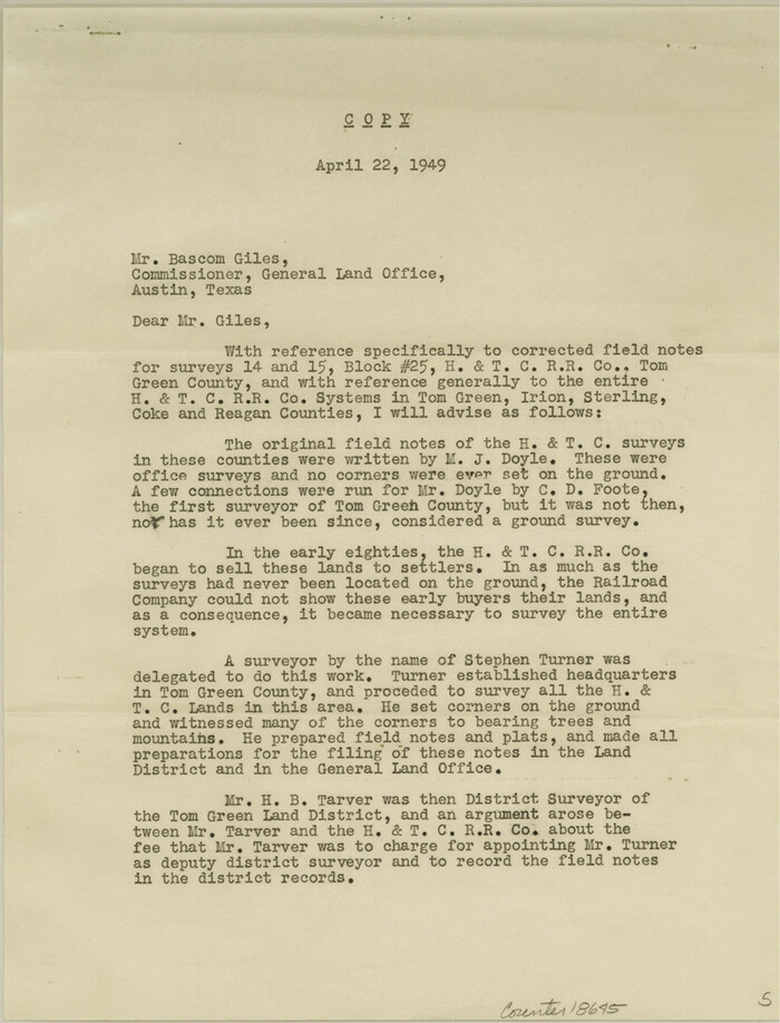
Coke County Sketch File 32
1949

Crane County Sketch File 3b
1881

Crockett County Rolled Sketch CRV
1925

Crockett County Rolled Sketch RC
1935
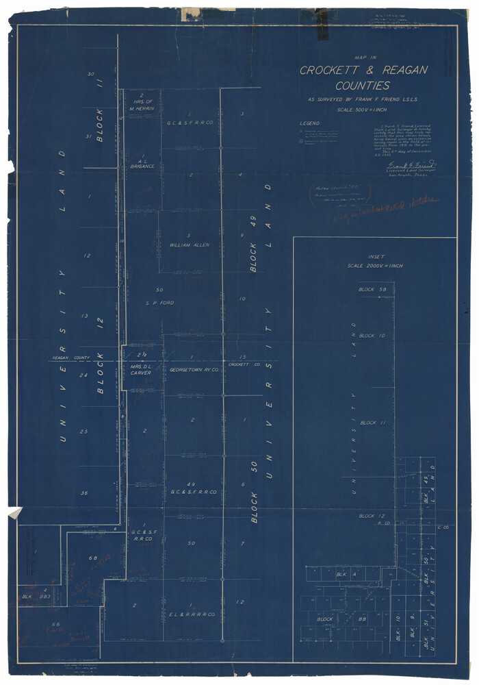
Crockett County Rolled Sketch RC1
1935
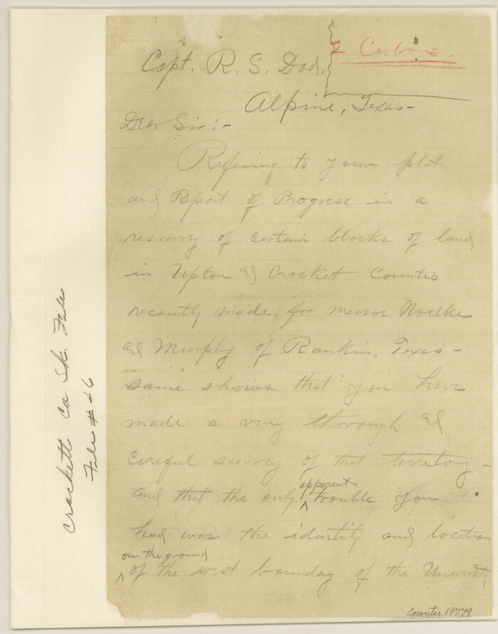
Crockett County Sketch File 46
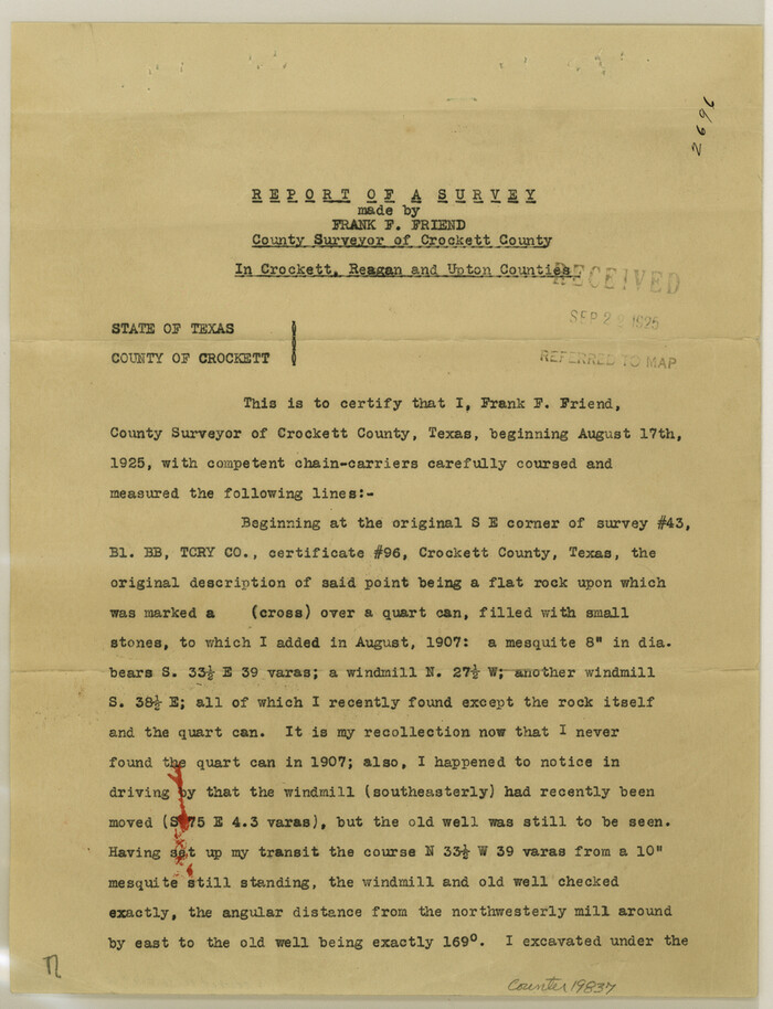
Crockett County Sketch File 60
1925
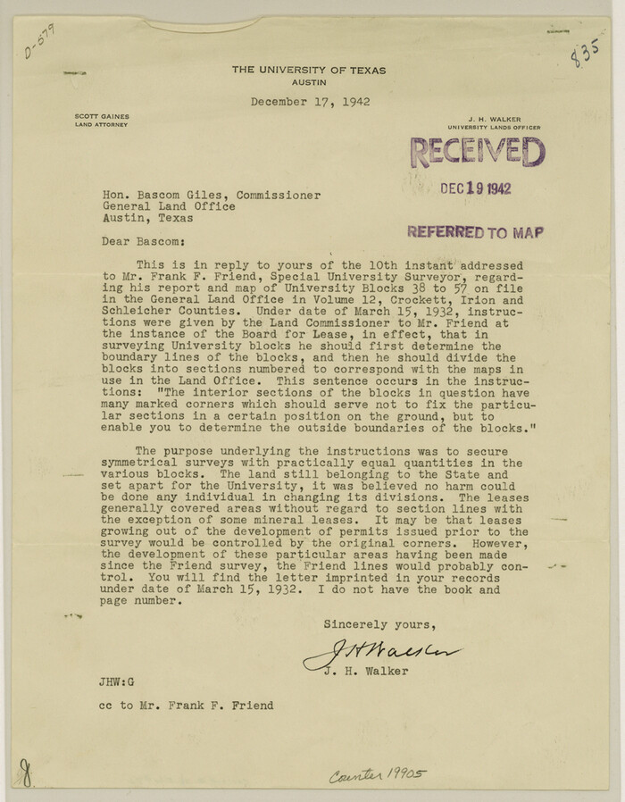
Crockett County Sketch File 84
1942
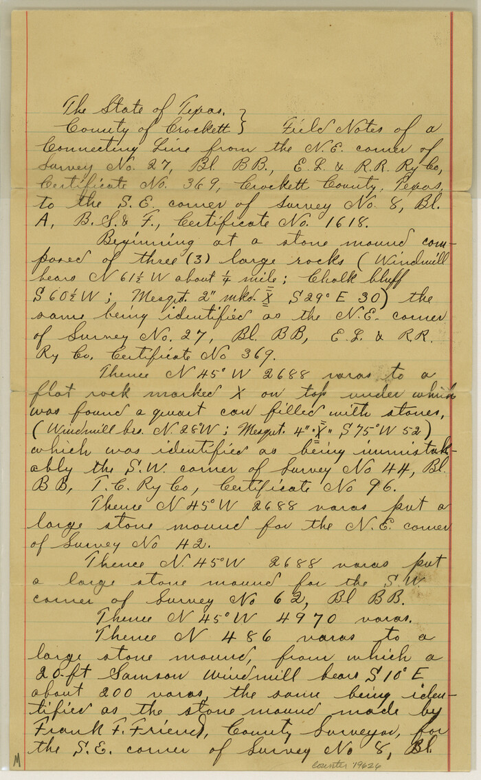
Crockett County Sketch File A1, A3, D, and DA2
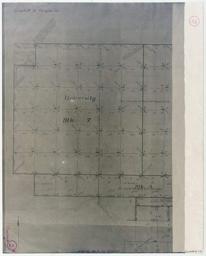
Crockett County Working Sketch 2
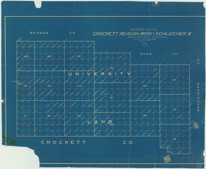
Crockett County Working Sketch 33
1926
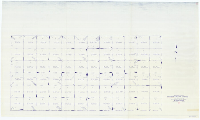
Crockett County Working Sketch 79
1973
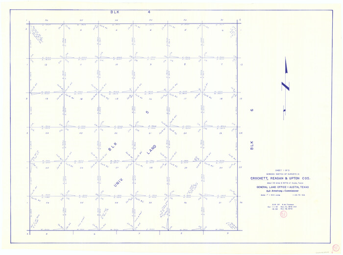
Crockett County Working Sketch 81
1973
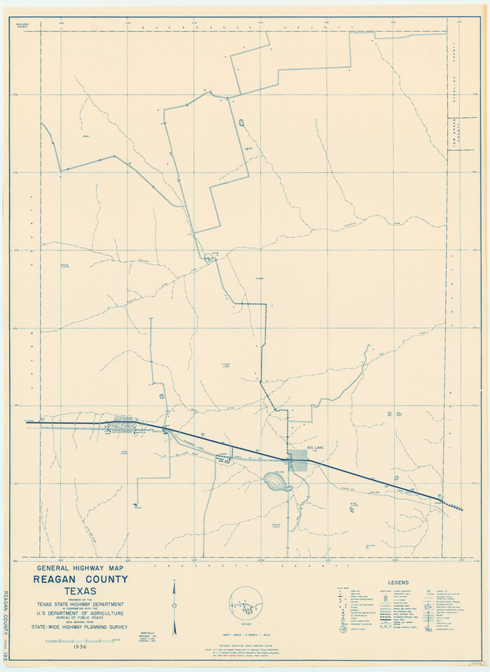
General Highway Map, Reagan County, Texas
1940
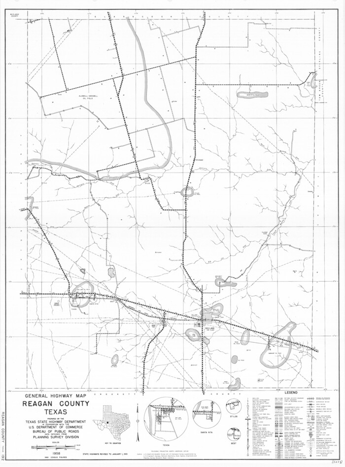
General Highway Map, Reagan County, Texas
1961
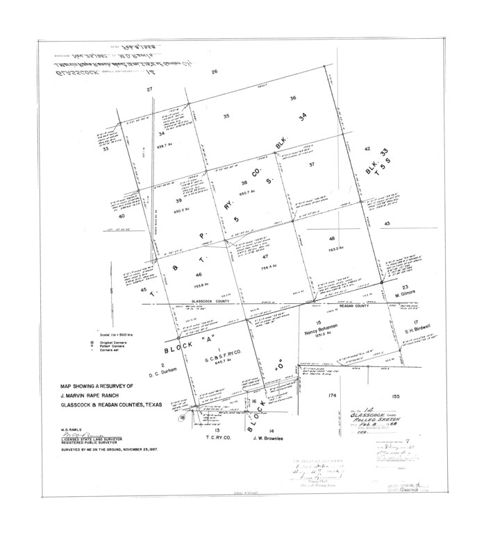
Glasscock County Rolled Sketch 14
1957

Glasscock County Rolled Sketch 8
1951

Glasscock County Rolled Sketch 8
1951

Glasscock County Sketch File 25
1951

Glasscock County Sketch File 28
1877
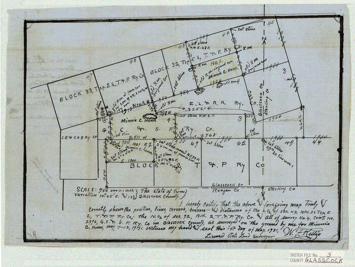
Glasscock County Sketch File 3
1931
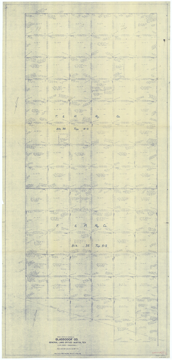
Glasscock County Working Sketch 10
1957

Glasscock County Working Sketch 2
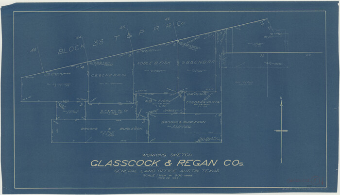
Glasscock County Working Sketch 5
1926

Glasscock County Working Sketch 7
1952

Glasscock County Working Sketch 9
1957

Irion County Rolled Sketch 18B
1978
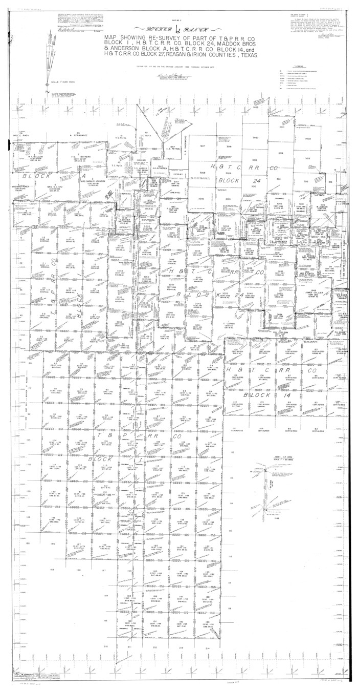
Irion County Rolled Sketch 18C
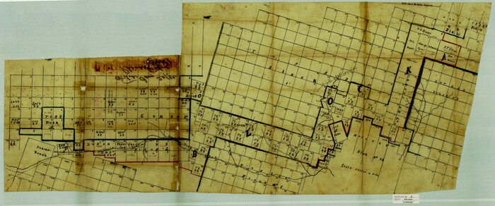
Irion County Sketch File 1
1881

Andrews County Rolled Sketch 42
-
Size
27.3 x 36.0 inches
-
Map/Doc
77182

Coke County Sketch File 32
1949
-
Size
11.1 x 8.5 inches
-
Map/Doc
18645
-
Creation Date
1949

Crane County Sketch File 3b
1881
-
Size
11.9 x 38.6 inches
-
Map/Doc
11206
-
Creation Date
1881

Crockett County Rolled Sketch CRV
1925
-
Size
35.8 x 52.3 inches
-
Map/Doc
8693
-
Creation Date
1925

Crockett County Rolled Sketch RC
1935
-
Size
43.2 x 31.1 inches
-
Map/Doc
8702
-
Creation Date
1935

Crockett County Rolled Sketch RC1
1935
-
Size
43.7 x 30.6 inches
-
Map/Doc
8701
-
Creation Date
1935

Crockett County Sketch File 46
-
Size
11.1 x 8.7 inches
-
Map/Doc
19779

Crockett County Sketch File 60
1925
-
Size
11.4 x 8.7 inches
-
Map/Doc
19837
-
Creation Date
1925

Crockett County Sketch File 84
1942
-
Size
11.4 x 8.9 inches
-
Map/Doc
19905
-
Creation Date
1942

Crockett County Sketch File A1, A3, D, and DA2
-
Size
14.3 x 8.8 inches
-
Map/Doc
19626

Crockett County Working Sketch 2
-
Size
18.4 x 14.9 inches
-
Map/Doc
68335

Crockett County Working Sketch 33
1926
-
Size
27.0 x 32.8 inches
-
Map/Doc
68366
-
Creation Date
1926

Crockett County Working Sketch 79
1973
-
Size
46.2 x 76.4 inches
-
Map/Doc
68412
-
Creation Date
1973

Crockett County Working Sketch 81
1973
-
Size
28.1 x 37.7 inches
-
Map/Doc
68414
-
Creation Date
1973

General Highway Map, Reagan County, Texas
1940
-
Size
25.0 x 18.2 inches
-
Map/Doc
79225
-
Creation Date
1940

General Highway Map, Reagan County, Texas
1961
-
Size
24.6 x 18.2 inches
-
Map/Doc
79636
-
Creation Date
1961

Glasscock County Rolled Sketch 14
1957
-
Size
29.0 x 26.3 inches
-
Map/Doc
6020
-
Creation Date
1957

Glasscock County Rolled Sketch 8
1951
-
Size
38.4 x 32.3 inches
-
Map/Doc
9056
-
Creation Date
1951

Glasscock County Rolled Sketch 8
1951
-
Size
37.3 x 31.1 inches
-
Map/Doc
9057
-
Creation Date
1951

Glasscock County Sketch File 25
1951
-
Size
28.8 x 20.6 inches
-
Map/Doc
11566
-
Creation Date
1951

Glasscock County Sketch File 28
1877
-
Size
15.7 x 15.9 inches
-
Map/Doc
38163
-
Creation Date
1877

Glasscock County Sketch File 3
1931
-
Size
11.1 x 14.8 inches
-
Map/Doc
11560
-
Creation Date
1931

Glasscock County Working Sketch 10
1957
-
Size
77.9 x 37.2 inches
-
Map/Doc
63183
-
Creation Date
1957

Glasscock County Working Sketch 2
-
Size
32.0 x 28.0 inches
-
Map/Doc
63175

Glasscock County Working Sketch 5
1926
-
Size
16.1 x 28.0 inches
-
Map/Doc
63178
-
Creation Date
1926

Glasscock County Working Sketch 7
1952
-
Size
36.8 x 31.9 inches
-
Map/Doc
63180
-
Creation Date
1952

Glasscock County Working Sketch 9
1957
-
Size
77.9 x 25.5 inches
-
Map/Doc
63182
-
Creation Date
1957

Irion County Rolled Sketch 18B
1978
-
Size
10.6 x 15.2 inches
-
Map/Doc
46087
-
Creation Date
1978

Irion County Rolled Sketch 18C
-
Size
84.7 x 45.5 inches
-
Map/Doc
9254

Irion County Sketch File 1
1881
-
Size
43.9 x 18.3 inches
-
Map/Doc
10615
-
Creation Date
1881