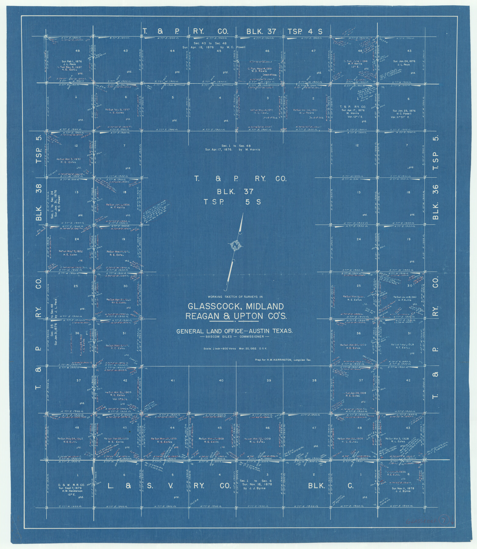
Glasscock County Working Sketch 7
-
Map/Doc
63180
-
Collection
General Map Collection
-
Object Dates
3/20/1952 (Creation Date)
-
People and Organizations
Otto G. Kurio (Draftsman)
-
Counties
Glasscock Midland Reagan Upton
-
Subjects
Surveying Working Sketch
-
Height x Width
36.8 x 31.9 inches
93.5 x 81.0 cm
-
Scale
1" = 600 varas
Part of: General Map Collection
Glasscock County Rolled Sketch 4

Print $20.00
- Digital $50.00
Glasscock County Rolled Sketch 4
1928
Size 26.7 x 20.9 inches
Map/Doc 6015
Reeves County Rolled Sketch 18

Print $20.00
- Digital $50.00
Reeves County Rolled Sketch 18
1963
Size 23.4 x 27.4 inches
Map/Doc 7487
Bastrop County Rolled Sketch 1

Print $20.00
- Digital $50.00
Bastrop County Rolled Sketch 1
Size 30.0 x 23.9 inches
Map/Doc 5121
Flight Mission No. BRE-1P, Frame 7, Nueces County

Print $20.00
- Digital $50.00
Flight Mission No. BRE-1P, Frame 7, Nueces County
1956
Size 18.3 x 22.1 inches
Map/Doc 86615
Coryell County Working Sketch 6

Print $20.00
- Digital $50.00
Coryell County Working Sketch 6
1941
Size 15.9 x 13.6 inches
Map/Doc 68213
Map of Africa engraved to illustrate Mitchell's school and family geography (Inset 1: Map of Egypt / Inset 2: Map of Liberia)

Print $20.00
- Digital $50.00
Map of Africa engraved to illustrate Mitchell's school and family geography (Inset 1: Map of Egypt / Inset 2: Map of Liberia)
1839
Size 9.5 x 11.8 inches
Map/Doc 93507
Bosque County Sketch File 9

Print $6.00
- Digital $50.00
Bosque County Sketch File 9
1859
Size 4.3 x 4.7 inches
Map/Doc 14754
Pecos County Sketch File 28

Print $20.00
- Digital $50.00
Pecos County Sketch File 28
1927
Size 23.4 x 21.6 inches
Map/Doc 12168
La Salle County Sketch File 51

Print $20.00
- Digital $50.00
La Salle County Sketch File 51
1984
Size 13.4 x 20.5 inches
Map/Doc 11990
Wichita County Sketch File 36

Print $20.00
- Digital $50.00
Wichita County Sketch File 36
1894
Size 20.1 x 25.9 inches
Map/Doc 12689
Real County Working Sketch 67

Print $20.00
- Digital $50.00
Real County Working Sketch 67
1970
Size 21.2 x 16.4 inches
Map/Doc 71959
Wilbarger Co.

Print $40.00
- Digital $50.00
Wilbarger Co.
1907
Size 49.0 x 39.3 inches
Map/Doc 16927
You may also like
Baylor County Rolled Sketch 8

Print $20.00
- Digital $50.00
Baylor County Rolled Sketch 8
1883
Size 12.9 x 18.4 inches
Map/Doc 5124
Map of Randall County

Print $20.00
- Digital $50.00
Map of Randall County
1892
Size 24.4 x 18.6 inches
Map/Doc 3975
Located Line of the Panhandle & Gulf Ry. through State Lands, Public School and University, in Reagan County, Texas, Right of Way 200 feet wide

Print $40.00
- Digital $50.00
Located Line of the Panhandle & Gulf Ry. through State Lands, Public School and University, in Reagan County, Texas, Right of Way 200 feet wide
1904
Size 13.4 x 90.8 inches
Map/Doc 64063
[Potter County Blocks 25, P&Mc, O18, G&M2]
![93215, [Potter County Blocks 25, P&Mc, O18, G&M2], Twichell Survey Records](https://historictexasmaps.com/wmedia_w700/maps/93215-1.tif.jpg)
Print $20.00
- Digital $50.00
[Potter County Blocks 25, P&Mc, O18, G&M2]
Size 28.7 x 19.2 inches
Map/Doc 93215
Nueces County Rolled Sketch 49

Print $20.00
- Digital $50.00
Nueces County Rolled Sketch 49
1941
Size 34.9 x 28.8 inches
Map/Doc 6889
Nueces County Rolled Sketch 74

Print $32.00
Nueces County Rolled Sketch 74
1981
Size 18.4 x 25.3 inches
Map/Doc 6932
Gaines County Sketch File 21

Print $6.00
- Digital $50.00
Gaines County Sketch File 21
1990
Size 11.2 x 8.8 inches
Map/Doc 23341
Crosby County Boundary File 4a

Print $30.00
- Digital $50.00
Crosby County Boundary File 4a
Size 8.8 x 32.8 inches
Map/Doc 52028
Kimble County Working Sketch 39

Print $20.00
- Digital $50.00
Kimble County Working Sketch 39
1947
Size 30.8 x 23.5 inches
Map/Doc 70107
Flight Mission No. DIX-10P, Frame 170, Aransas County

Print $20.00
- Digital $50.00
Flight Mission No. DIX-10P, Frame 170, Aransas County
1956
Size 18.7 x 22.3 inches
Map/Doc 83960
Hutchinson County Rolled Sketch 44-2

Print $20.00
- Digital $50.00
Hutchinson County Rolled Sketch 44-2
2002
Size 24.0 x 36.0 inches
Map/Doc 77538
Briscoe County Sketch File 11

Print $9.00
- Digital $50.00
Briscoe County Sketch File 11
Size 11.8 x 11.0 inches
Map/Doc 16422