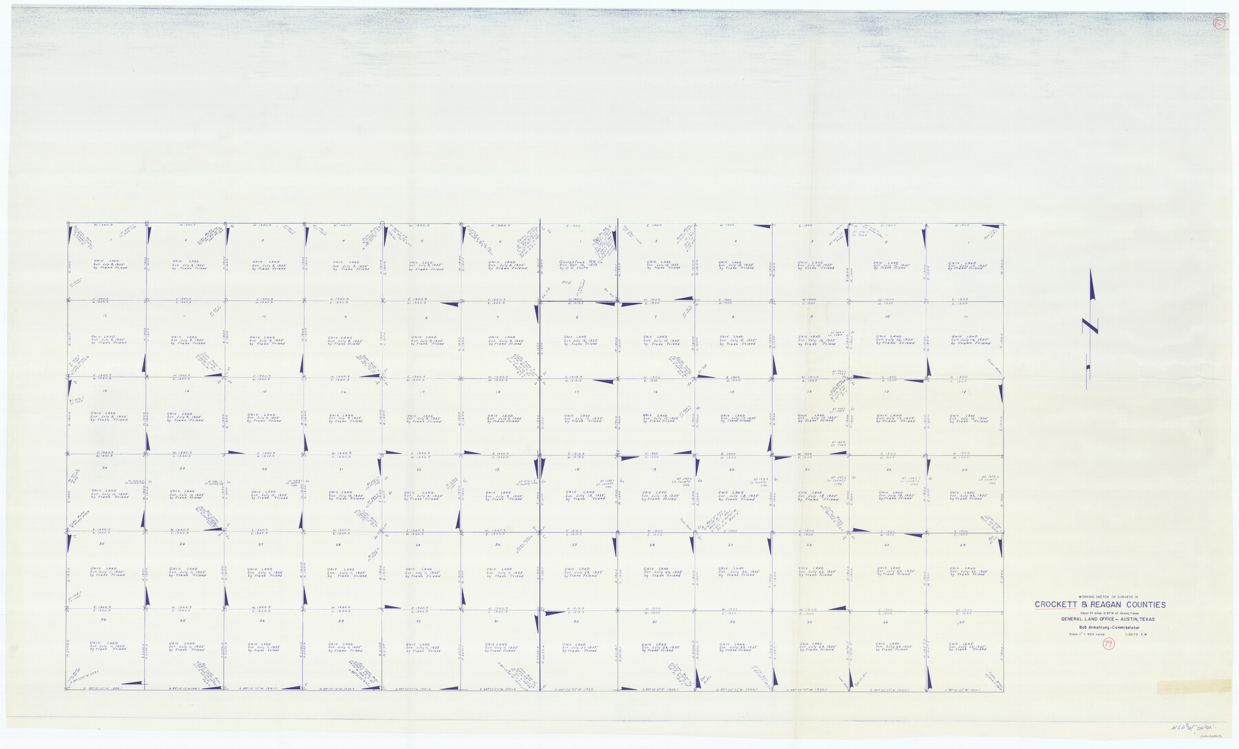
Crockett County Working Sketch 79
-
Map/Doc
68412
-
Collection
General Map Collection
-
Object Dates
1/23/1973 (Creation Date)
-
People and Organizations
Elbert Menzel (Draftsman)
-
Counties
Crockett Reagan
-
Subjects
Surveying Working Sketch
-
Height x Width
46.2 x 76.4 inches
117.4 x 194.1 cm
-
Scale
1" = 400 varas
Part of: General Map Collection
Flight Mission No. DAG-21K, Frame 119, Matagorda County

Print $20.00
- Digital $50.00
Flight Mission No. DAG-21K, Frame 119, Matagorda County
1952
Size 18.6 x 22.5 inches
Map/Doc 86445
Frio County Boundary File 31

Print $19.00
- Digital $50.00
Frio County Boundary File 31
Size 9.3 x 4.4 inches
Map/Doc 53609
Henderson County Rolled Sketch 14

Print $20.00
- Digital $50.00
Henderson County Rolled Sketch 14
2012
Size 19.3 x 32.3 inches
Map/Doc 95715
East Line & Red River Railroad, Map of the Line from Sulphur Springs to Greenville

Print $40.00
- Digital $50.00
East Line & Red River Railroad, Map of the Line from Sulphur Springs to Greenville
1881
Size 19.0 x 88.2 inches
Map/Doc 64350
Stephens County Working Sketch 6

Print $20.00
- Digital $50.00
Stephens County Working Sketch 6
1919
Size 13.1 x 22.0 inches
Map/Doc 63949
Duval County Rolled Sketch 20A

Print $20.00
- Digital $50.00
Duval County Rolled Sketch 20A
Size 34.6 x 43.7 inches
Map/Doc 8816
Railroad Track Map, H&TCRRCo., Falls County, Texas

Print $4.00
- Digital $50.00
Railroad Track Map, H&TCRRCo., Falls County, Texas
1918
Size 11.7 x 18.7 inches
Map/Doc 62841
Anderson County Sketch File 15a

Print $4.00
- Digital $50.00
Anderson County Sketch File 15a
1859
Size 14.5 x 8.0 inches
Map/Doc 12781
Pecos County Sketch File 54

Print $20.00
- Digital $50.00
Pecos County Sketch File 54
Size 14.5 x 22.4 inches
Map/Doc 12180
Reeves County Rolled Sketch 15

Print $20.00
- Digital $50.00
Reeves County Rolled Sketch 15
1960
Size 21.6 x 25.2 inches
Map/Doc 7484
Hudspeth County Sketch File 20a

Print $10.00
- Digital $50.00
Hudspeth County Sketch File 20a
Size 10.8 x 8.2 inches
Map/Doc 26964
Map of sections 1 & 2 of a survey of Padre Island made for the Office of the Attorney General of the State of Texas

Print $20.00
- Digital $50.00
Map of sections 1 & 2 of a survey of Padre Island made for the Office of the Attorney General of the State of Texas
1941
Size 40.8 x 39.8 inches
Map/Doc 2258
You may also like
Texas Urbanization and Population Density

Texas Urbanization and Population Density
1976
Size 19.3 x 23.9 inches
Map/Doc 93729
Dawson County Working Sketch 13

Print $20.00
- Digital $50.00
Dawson County Working Sketch 13
1952
Size 18.1 x 12.6 inches
Map/Doc 68557
Right of Way San Antonio and Aransas Pass Railway

Print $4.00
- Digital $50.00
Right of Way San Antonio and Aransas Pass Railway
1919
Size 11.6 x 18.5 inches
Map/Doc 62561
Maps & Lists Showing Prison Lands (Oil & Gas) Leased as of June 1955

Digital $50.00
Maps & Lists Showing Prison Lands (Oil & Gas) Leased as of June 1955
Size 11.2 x 8.9 inches
Map/Doc 62875
General Highway Map Moore County

Print $3.00
- Digital $50.00
General Highway Map Moore County
Size 14.4 x 10.3 inches
Map/Doc 92289
Erath County Working Sketch 39

Print $20.00
- Digital $50.00
Erath County Working Sketch 39
1976
Size 26.9 x 28.0 inches
Map/Doc 69120
Red River County Working Sketch 28

Print $20.00
- Digital $50.00
Red River County Working Sketch 28
1961
Size 28.1 x 38.7 inches
Map/Doc 72011
Brazoria County Aerial Photograph Index Sheet 5

Print $20.00
- Digital $50.00
Brazoria County Aerial Photograph Index Sheet 5
1953
Size 24.0 x 19.5 inches
Map/Doc 83667
Map of the State of Texas

Print $40.00
- Digital $50.00
Map of the State of Texas
1879
Size 102.7 x 56.3 inches
Map/Doc 93382
Pecos County Rolled Sketch 32A

Print $7.00
- Digital $50.00
Pecos County Rolled Sketch 32A
1890
Size 10.5 x 15.2 inches
Map/Doc 48096
Sketch of 103rd Meridian, W. L. Showing Conflict of Capitol Leagues

Print $40.00
- Digital $50.00
Sketch of 103rd Meridian, W. L. Showing Conflict of Capitol Leagues
Size 25.8 x 122.0 inches
Map/Doc 65504
Chambers County Working Sketch 22

Print $20.00
- Digital $50.00
Chambers County Working Sketch 22
1978
Size 29.2 x 35.7 inches
Map/Doc 68005