Upton County Rolled Sketch 8

Print $40.00
- Digital $50.00
Upton County Rolled Sketch 8
1912
Size: 17.8 x 61.4 inches
10034
Upton County Rolled Sketch 12

Print $20.00
- Digital $50.00
Upton County Rolled Sketch 12
Size: 30.3 x 38.3 inches
10036
Upton County Rolled Sketch 25

Print $20.00
- Digital $50.00
Upton County Rolled Sketch 25
1941
Size: 33.2 x 34.5 inches
10044
Upton County Rolled Sketch 32

Print $20.00
- Digital $50.00
Upton County Rolled Sketch 32
Size: 38.6 x 39.0 inches
10049
Crane County Sketch File 1

Print $20.00
- Digital $50.00
Crane County Sketch File 1
Size: 44.8 x 14.6 inches
10343
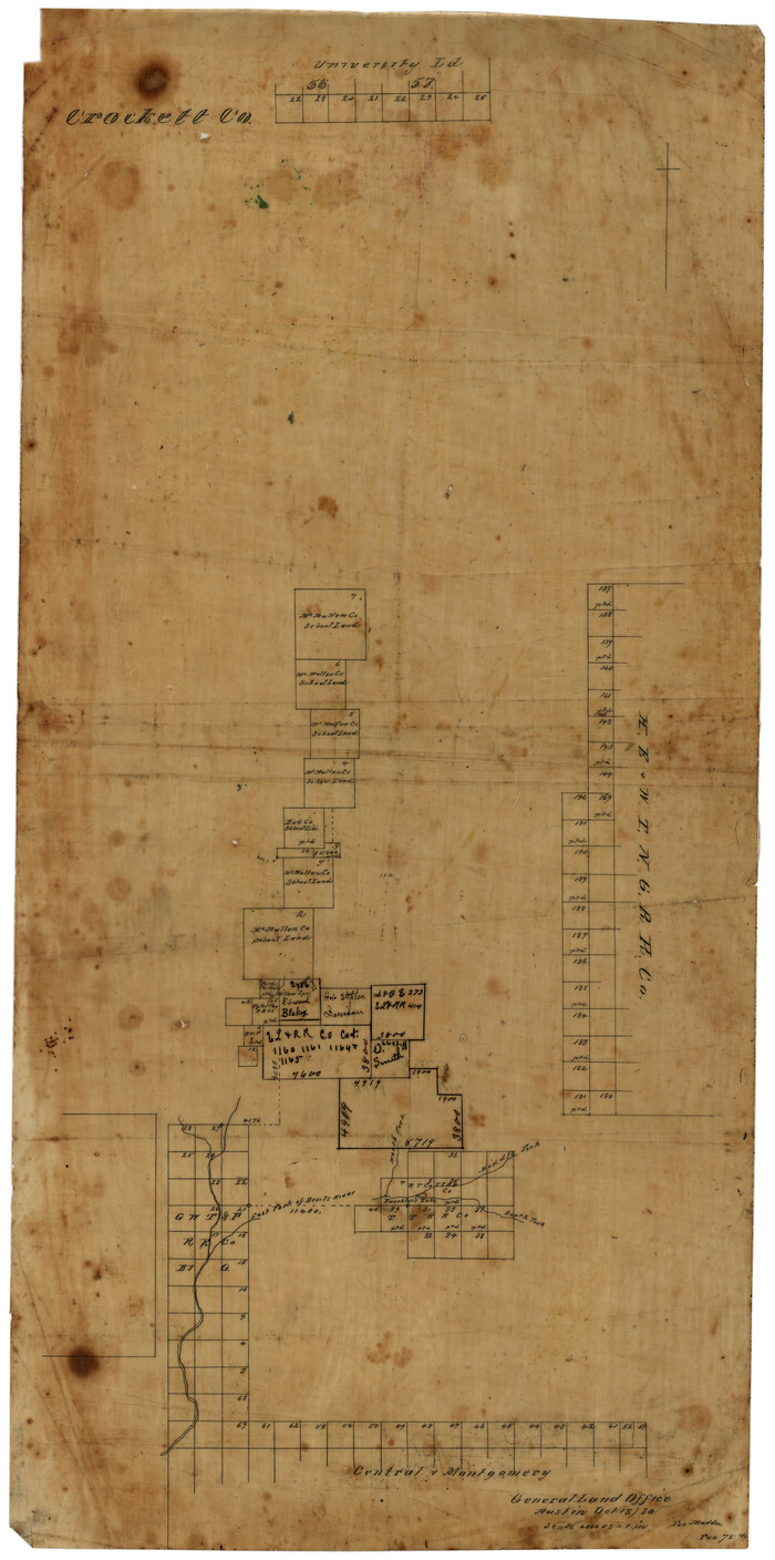
Crockett County Sketch File 85

Print $6.00
- Digital $50.00
Crockett County Sketch File 85
1952
Size: 33.7 x 31.2 inches
10345
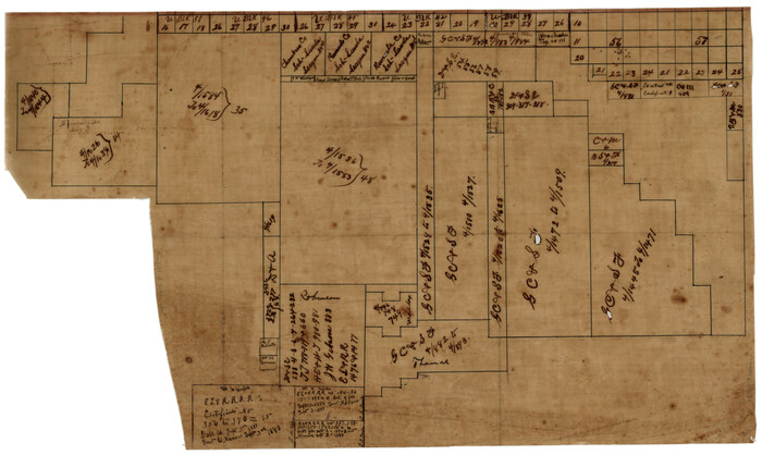
Crockett County Sketch File D

Print $40.00
- Digital $50.00
Crockett County Sketch File D
1903
Size: 24.6 x 48.0 inches
10347
Tom Green County Sketch File 14

Print $20.00
- Digital $50.00
Tom Green County Sketch File 14
Size: 34.8 x 45.7 inches
10401
Tom Green County Sketch File 56

Print $20.00
- Digital $50.00
Tom Green County Sketch File 56
1883
Size: 34.5 x 47.5 inches
10404
Upton County Sketch File 2

Print $40.00
- Digital $50.00
Upton County Sketch File 2
Size: 38.5 x 55.4 inches
10413
[Sketch of Surveys in Crockett County, Texas]
Print $20.00
- Digital $50.00
[Sketch of Surveys in Crockett County, Texas]
1880
Size: 12.7 x 21.3 inches
10778
[Sketch showing surveys in Sutton and Val Verde Counties, Texas]
Print $20.00
- Digital $50.00
[Sketch showing surveys in Sutton and Val Verde Counties, Texas]
1880
Size: 28.0 x 14.5 inches
10779
Crane County Sketch File 18

Print $20.00
- Digital $50.00
Crane County Sketch File 18
1927
Size: 15.1 x 18.4 inches
11210
Crockett County Sketch File 12

Print $20.00
- Digital $50.00
Crockett County Sketch File 12
Size: 26.8 x 18.9 inches
11216
Crockett County Sketch File 38

Print $20.00
- Digital $50.00
Crockett County Sketch File 38
1887
Size: 20.8 x 30.3 inches
11220
Crockett County Sketch File 39

Print $20.00
- Digital $50.00
Crockett County Sketch File 39
1889
Size: 19.7 x 32.6 inches
11221
Crockett County Sketch File 40

Print $20.00
- Digital $50.00
Crockett County Sketch File 40
Size: 16.8 x 37.9 inches
11222
Crockett County Sketch File 43

Print $20.00
- Digital $50.00
Crockett County Sketch File 43
1880
Size: 17.9 x 23.8 inches
11223
Crockett County Sketch File 56

Print $20.00
- Digital $50.00
Crockett County Sketch File 56
Size: 19.6 x 19.0 inches
11224
Crockett County Sketch File 58

Print $20.00
- Digital $50.00
Crockett County Sketch File 58
1932
Size: 17.9 x 23.2 inches
11226
Crockett County Sketch File 61

Print $20.00
- Digital $50.00
Crockett County Sketch File 61
1926
Size: 22.0 x 26.0 inches
11228
Crockett County Sketch File 64

Print $20.00
- Digital $50.00
Crockett County Sketch File 64
1927
Size: 17.0 x 21.3 inches
11229
Crockett County Sketch File 65

Print $20.00
- Digital $50.00
Crockett County Sketch File 65
1927
Size: 23.2 x 36.6 inches
11230
Crockett County Sketch File 67

Print $20.00
- Digital $50.00
Crockett County Sketch File 67
1927
Size: 30.1 x 26.6 inches
11231
Crockett County Sketch File 70

Print $40.00
- Digital $50.00
Crockett County Sketch File 70
1931
Size: 15.0 x 17.4 inches
11232
Crockett County Sketch File 75

Print $20.00
- Digital $50.00
Crockett County Sketch File 75
Size: 26.3 x 28.8 inches
11234
Crockett County Sketch File 78

Print $20.00
- Digital $50.00
Crockett County Sketch File 78
1931
Size: 29.4 x 19.1 inches
11235
Crockett County Sketch File 80

Print $20.00
- Digital $50.00
Crockett County Sketch File 80
1939
Size: 13.5 x 18.8 inches
11236
Crockett County Sketch File 88

Print $3.00
- Digital $50.00
Crockett County Sketch File 88
1958
Size: 19.3 x 15.8 inches
11237
Crockett County Sketch File 90

Print $40.00
- Digital $50.00
Crockett County Sketch File 90
1961
Size: 14.7 x 23.5 inches
11238
Upton County Rolled Sketch 8
Print $40.00
- Digital $50.00
Upton County Rolled Sketch 8
1912
-
Size
17.8 x 61.4 inches
-
Map/Doc
10034
-
Creation Date
1912
Upton County Rolled Sketch 12
Print $20.00
- Digital $50.00
Upton County Rolled Sketch 12
-
Size
30.3 x 38.3 inches
-
Map/Doc
10036
Upton County Rolled Sketch 25
Print $20.00
- Digital $50.00
Upton County Rolled Sketch 25
1941
-
Size
33.2 x 34.5 inches
-
Map/Doc
10044
-
Creation Date
1941
Upton County Rolled Sketch 32
Print $20.00
- Digital $50.00
Upton County Rolled Sketch 32
-
Size
38.6 x 39.0 inches
-
Map/Doc
10049
Crane County Sketch File 1
Print $20.00
- Digital $50.00
Crane County Sketch File 1
-
Size
44.8 x 14.6 inches
-
Map/Doc
10343
Crockett County Sketch File 85
Print $6.00
- Digital $50.00
Crockett County Sketch File 85
1952
-
Size
33.7 x 31.2 inches
-
Map/Doc
10345
-
Creation Date
1952
Crockett County Sketch File D
Print $40.00
- Digital $50.00
Crockett County Sketch File D
1903
-
Size
24.6 x 48.0 inches
-
Map/Doc
10347
-
Creation Date
1903
Tom Green County Sketch File 14
Print $20.00
- Digital $50.00
Tom Green County Sketch File 14
-
Size
34.8 x 45.7 inches
-
Map/Doc
10401
Tom Green County Sketch File 56
Print $20.00
- Digital $50.00
Tom Green County Sketch File 56
1883
-
Size
34.5 x 47.5 inches
-
Map/Doc
10404
-
Creation Date
1883
Upton County Sketch File 2
Print $40.00
- Digital $50.00
Upton County Sketch File 2
-
Size
38.5 x 55.4 inches
-
Map/Doc
10413
[Sketch of Surveys in Crockett County, Texas]
Print $20.00
- Digital $50.00
[Sketch of Surveys in Crockett County, Texas]
1880
-
Size
12.7 x 21.3 inches
-
Map/Doc
10778
-
Creation Date
1880
[Sketch showing surveys in Sutton and Val Verde Counties, Texas]
Print $20.00
- Digital $50.00
[Sketch showing surveys in Sutton and Val Verde Counties, Texas]
1880
-
Size
28.0 x 14.5 inches
-
Map/Doc
10779
-
Creation Date
1880
Crane County Sketch File 18
Print $20.00
- Digital $50.00
Crane County Sketch File 18
1927
-
Size
15.1 x 18.4 inches
-
Map/Doc
11210
-
Creation Date
1927
Crockett County Sketch File 12
Print $20.00
- Digital $50.00
Crockett County Sketch File 12
-
Size
26.8 x 18.9 inches
-
Map/Doc
11216
Crockett County Sketch File 38
Print $20.00
- Digital $50.00
Crockett County Sketch File 38
1887
-
Size
20.8 x 30.3 inches
-
Map/Doc
11220
-
Creation Date
1887
Crockett County Sketch File 39
Print $20.00
- Digital $50.00
Crockett County Sketch File 39
1889
-
Size
19.7 x 32.6 inches
-
Map/Doc
11221
-
Creation Date
1889
Crockett County Sketch File 40
Print $20.00
- Digital $50.00
Crockett County Sketch File 40
-
Size
16.8 x 37.9 inches
-
Map/Doc
11222
Crockett County Sketch File 43
Print $20.00
- Digital $50.00
Crockett County Sketch File 43
1880
-
Size
17.9 x 23.8 inches
-
Map/Doc
11223
-
Creation Date
1880
Crockett County Sketch File 56
Print $20.00
- Digital $50.00
Crockett County Sketch File 56
-
Size
19.6 x 19.0 inches
-
Map/Doc
11224
Crockett County Sketch File 58
Print $20.00
- Digital $50.00
Crockett County Sketch File 58
1932
-
Size
17.9 x 23.2 inches
-
Map/Doc
11226
-
Creation Date
1932
Crockett County Sketch File 61
Print $20.00
- Digital $50.00
Crockett County Sketch File 61
1926
-
Size
22.0 x 26.0 inches
-
Map/Doc
11228
-
Creation Date
1926
Crockett County Sketch File 64
Print $20.00
- Digital $50.00
Crockett County Sketch File 64
1927
-
Size
17.0 x 21.3 inches
-
Map/Doc
11229
-
Creation Date
1927
Crockett County Sketch File 65
Print $20.00
- Digital $50.00
Crockett County Sketch File 65
1927
-
Size
23.2 x 36.6 inches
-
Map/Doc
11230
-
Creation Date
1927
Crockett County Sketch File 67
Print $20.00
- Digital $50.00
Crockett County Sketch File 67
1927
-
Size
30.1 x 26.6 inches
-
Map/Doc
11231
-
Creation Date
1927
Crockett County Sketch File 70
Print $40.00
- Digital $50.00
Crockett County Sketch File 70
1931
-
Size
15.0 x 17.4 inches
-
Map/Doc
11232
-
Creation Date
1931
Crockett County Sketch File 75
Print $20.00
- Digital $50.00
Crockett County Sketch File 75
-
Size
26.3 x 28.8 inches
-
Map/Doc
11234
Crockett County Sketch File 78
Print $20.00
- Digital $50.00
Crockett County Sketch File 78
1931
-
Size
29.4 x 19.1 inches
-
Map/Doc
11235
-
Creation Date
1931
Crockett County Sketch File 80
Print $20.00
- Digital $50.00
Crockett County Sketch File 80
1939
-
Size
13.5 x 18.8 inches
-
Map/Doc
11236
-
Creation Date
1939
Crockett County Sketch File 88
Print $3.00
- Digital $50.00
Crockett County Sketch File 88
1958
-
Size
19.3 x 15.8 inches
-
Map/Doc
11237
-
Creation Date
1958
Crockett County Sketch File 90
Print $40.00
- Digital $50.00
Crockett County Sketch File 90
1961
-
Size
14.7 x 23.5 inches
-
Map/Doc
11238
-
Creation Date
1961