Crane County Sketch File 18
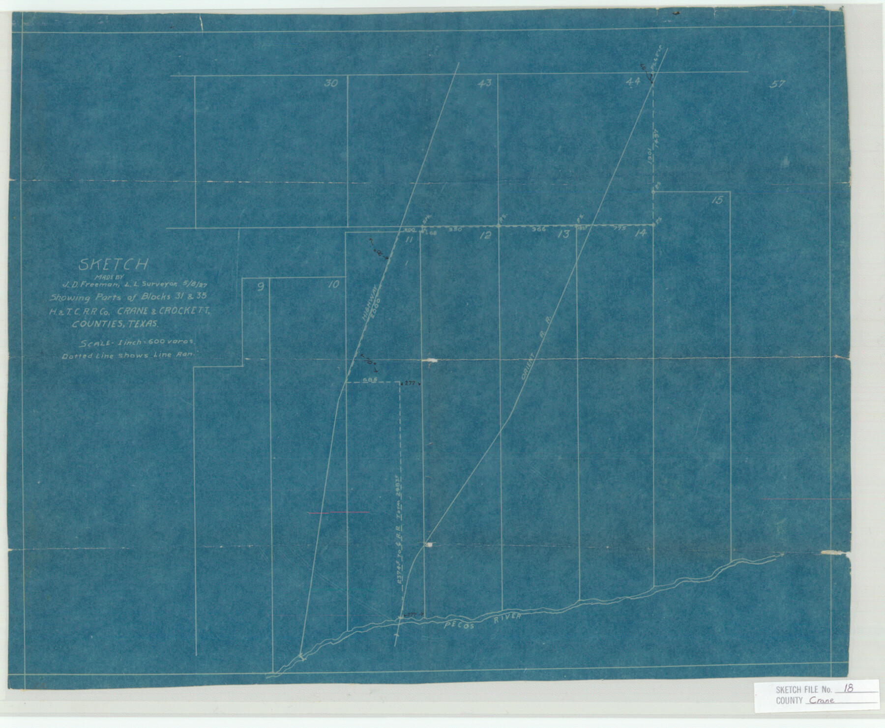
Sketch Showing Parts of Blocks 31 & 35, H&T.C. R.R. Co. Crane & Crockett Counties, Texas
-
Map/Doc
11210
-
Collection
General Map Collection
-
Object Dates
1927/5/8 (Creation Date)
1927 (File Date)
-
People and Organizations
J.D. Freeman (Surveyor/Engineer)
J.D. Freeman (Draftsman)
-
Counties
Crane Crockett
-
Subjects
Surveying Sketch File
-
Height x Width
15.1 x 18.4 inches
38.4 x 46.7 cm
-
Medium
blueprint/diazo
-
Scale
1:600
-
Features
Highway 2000
Orient Railway
Pecos River
Part of: General Map Collection
Chambers County Rolled Sketch 12C

Print $97.00
- Digital $50.00
Chambers County Rolled Sketch 12C
Size 10.0 x 15.2 inches
Map/Doc 43939

Treaty to Resolve Pending Boundary Differences and Maintain the Rio Grande and Colorado River as the International Boundary Between the United States of American and Mexico

Print $4.00
- Digital $50.00
Treaty to Resolve Pending Boundary Differences and Maintain the Rio Grande and Colorado River as the International Boundary Between the United States of American and Mexico
1970
Size 12.1 x 19.0 inches
Map/Doc 83099
Liberty County Rolled Sketch N

Print $20.00
- Digital $50.00
Liberty County Rolled Sketch N
Size 44.7 x 38.5 inches
Map/Doc 10180
Nacogdoches County Sketch File 1

Print $4.00
- Digital $50.00
Nacogdoches County Sketch File 1
Size 10.2 x 7.8 inches
Map/Doc 32233
DeWitt County Working Sketch 4

Print $20.00
- Digital $50.00
DeWitt County Working Sketch 4
1963
Size 37.0 x 45.6 inches
Map/Doc 68594
Collingsworth County Working Sketch 2

Print $20.00
- Digital $50.00
Collingsworth County Working Sketch 2
1957
Size 42.5 x 20.1 inches
Map/Doc 63761
Brewster County Rolled Sketch 114

Print $20.00
- Digital $50.00
Brewster County Rolled Sketch 114
1964
Size 11.7 x 18.4 inches
Map/Doc 5267
Rusk County Sketch File 41

Print $20.00
Rusk County Sketch File 41
1951
Size 23.1 x 26.2 inches
Map/Doc 12277
Atascosa County Boundary File 5

Print $32.00
- Digital $50.00
Atascosa County Boundary File 5
Size 8.8 x 6.3 inches
Map/Doc 50198
Val Verde Co.

Print $20.00
- Digital $50.00
Val Verde Co.
1908
Size 39.8 x 38.7 inches
Map/Doc 63100
Brewster County Working Sketch 51

Print $40.00
- Digital $50.00
Brewster County Working Sketch 51
1950
Size 62.9 x 26.4 inches
Map/Doc 67585
You may also like
Dallas County Boundary File 7 and 7a and 7b

Print $126.00
- Digital $50.00
Dallas County Boundary File 7 and 7a and 7b
Size 11.2 x 8.6 inches
Map/Doc 52295
Frio County Working Sketch 10

Print $20.00
- Digital $50.00
Frio County Working Sketch 10
1951
Size 27.0 x 27.3 inches
Map/Doc 69284
Tom Green County Rolled Sketch 48

Print $20.00
- Digital $50.00
Tom Green County Rolled Sketch 48
1884
Size 14.3 x 22.7 inches
Map/Doc 8009
Cherokee County Working Sketch 12

Print $20.00
- Digital $50.00
Cherokee County Working Sketch 12
1957
Size 36.6 x 46.0 inches
Map/Doc 67967
[Block H, E. L. & R. R. Block C-41, and Public School Lands]
![91386, [Block H, E. L. & R. R. Block C-41, and Public School Lands], Twichell Survey Records](https://historictexasmaps.com/wmedia_w700/maps/91386-1.tif.jpg)
Print $20.00
- Digital $50.00
[Block H, E. L. & R. R. Block C-41, and Public School Lands]
1951
Size 24.5 x 18.4 inches
Map/Doc 91386
Coryell County Working Sketch 19

Print $20.00
- Digital $50.00
Coryell County Working Sketch 19
1970
Size 38.7 x 33.2 inches
Map/Doc 68226
Crockett County Working Sketch 81

Print $20.00
- Digital $50.00
Crockett County Working Sketch 81
1973
Size 28.1 x 37.7 inches
Map/Doc 68414
Map of the European Settlements in Mexico or New Spain and the West Indies

Print $20.00
- Digital $50.00
Map of the European Settlements in Mexico or New Spain and the West Indies
1783
Size 14.1 x 21.1 inches
Map/Doc 93643
Carter-Coffey Addition, Part of Section 77, Block A

Print $20.00
- Digital $50.00
Carter-Coffey Addition, Part of Section 77, Block A
Size 30.0 x 9.8 inches
Map/Doc 92766
McLennan County

Print $20.00
- Digital $50.00
McLennan County
1946
Size 43.8 x 46.9 inches
Map/Doc 95585
Padre Island, Register No. 1485a

Print $40.00
- Digital $50.00
Padre Island, Register No. 1485a
1881
Size 55.7 x 36.7 inches
Map/Doc 73609
Montgomery County Working Sketch 34

Print $20.00
- Digital $50.00
Montgomery County Working Sketch 34
1952
Size 43.0 x 35.8 inches
Map/Doc 71141