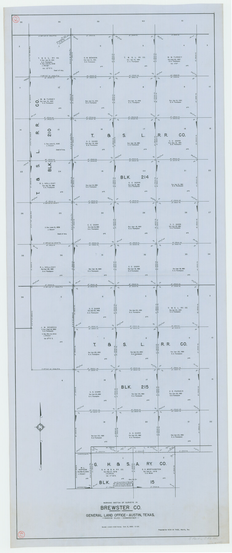
Brewster County Working Sketch 51
-
Map/Doc
67585
-
Collection
General Map Collection
-
Object Dates
10/5/1950 (Creation Date)
-
People and Organizations
Otto G. Kurio (Draftsman)
-
Counties
Brewster
-
Subjects
Surveying Working Sketch
-
Height x Width
62.9 x 26.4 inches
159.8 x 67.1 cm
-
Scale
1" = 400 varas
Part of: General Map Collection
J No. 5 - Reconnaissance of San Clemente Harbor, California / Reconnaissance of Prisoner's Harbor, California / Reconnaissance of Cuyler's Harbor, Island of San Miguel, California

Print $20.00
- Digital $50.00
J No. 5 - Reconnaissance of San Clemente Harbor, California / Reconnaissance of Prisoner's Harbor, California / Reconnaissance of Cuyler's Harbor, Island of San Miguel, California
1852
Size 19.2 x 16.5 inches
Map/Doc 97234
Flight Mission No. DAG-21K, Frame 118, Matagorda County

Print $20.00
- Digital $50.00
Flight Mission No. DAG-21K, Frame 118, Matagorda County
1952
Size 17.5 x 16.1 inches
Map/Doc 86442
Glasscock County Sketch File 22

Print $20.00
- Digital $50.00
Glasscock County Sketch File 22
Size 13.8 x 18.6 inches
Map/Doc 11565
McLennan County Sketch File 29

Print $4.00
- Digital $50.00
McLennan County Sketch File 29
Size 4.5 x 8.2 inches
Map/Doc 31302
In the Supreme Court of the United States The State of Oklahoma, Complainant vs. The State of Texas, Defendant, The United States of America, Intervener - 1921

Print $20.00
- Digital $50.00
In the Supreme Court of the United States The State of Oklahoma, Complainant vs. The State of Texas, Defendant, The United States of America, Intervener - 1921
1921
Size 24.4 x 32.4 inches
Map/Doc 75128
Flight Mission No. BRA-8M, Frame 77, Jefferson County

Print $20.00
- Digital $50.00
Flight Mission No. BRA-8M, Frame 77, Jefferson County
1953
Size 15.9 x 15.7 inches
Map/Doc 85597
Calhoun County Rolled Sketch 13

Print $20.00
- Digital $50.00
Calhoun County Rolled Sketch 13
1948
Size 43.0 x 41.0 inches
Map/Doc 8547
Hamilton County Working Sketch 18

Print $20.00
- Digital $50.00
Hamilton County Working Sketch 18
1952
Size 22.4 x 25.1 inches
Map/Doc 63356
Flight Mission No. CON-2R, Frame 114, Stonewall County

Print $20.00
- Digital $50.00
Flight Mission No. CON-2R, Frame 114, Stonewall County
1957
Size 18.3 x 22.0 inches
Map/Doc 86989
Uvalde County Working Sketch 3

Print $20.00
- Digital $50.00
Uvalde County Working Sketch 3
1915
Size 37.9 x 34.1 inches
Map/Doc 72073
Jones County Rolled Sketch 1

Print $20.00
- Digital $50.00
Jones County Rolled Sketch 1
1957
Size 26.1 x 28.3 inches
Map/Doc 6450
Gillespie County

Print $40.00
- Digital $50.00
Gillespie County
1887
Size 34.6 x 49.8 inches
Map/Doc 66836
You may also like
Gray County Working Sketch 6

Print $20.00
- Digital $50.00
Gray County Working Sketch 6
1960
Size 28.8 x 23.2 inches
Map/Doc 63237
Upton County Rolled Sketch 26

Print $20.00
- Digital $50.00
Upton County Rolled Sketch 26
1942
Size 35.7 x 37.2 inches
Map/Doc 10045
New Map of the Mining Regions of Idaho and Montana showing the geographical positions of the Blackfoot, Owyhee & South Boise Mines and the various routes thereto

Print $20.00
- Digital $50.00
New Map of the Mining Regions of Idaho and Montana showing the geographical positions of the Blackfoot, Owyhee & South Boise Mines and the various routes thereto
Size 21.9 x 29.4 inches
Map/Doc 93991
Leon County Working Sketch 8

Print $20.00
- Digital $50.00
Leon County Working Sketch 8
1931
Size 28.9 x 42.8 inches
Map/Doc 70407
Foard County Sketch File 20

Print $4.00
- Digital $50.00
Foard County Sketch File 20
1885
Size 14.3 x 9.0 inches
Map/Doc 22837
Map Showing East Part Pecos County, Texas with Blocks 194 and 178 Constructed and Adjusted to the Ground Distance from NE 36 Block 12 H&GN to Pecos Spring and by Original Field Note Calls from Pecos Spring to NE 75 Blk. 1 I&GN

Print $40.00
- Digital $50.00
Map Showing East Part Pecos County, Texas with Blocks 194 and 178 Constructed and Adjusted to the Ground Distance from NE 36 Block 12 H&GN to Pecos Spring and by Original Field Note Calls from Pecos Spring to NE 75 Blk. 1 I&GN
Size 45.0 x 51.4 inches
Map/Doc 89838
Hale County Working Sketch 2

Print $20.00
- Digital $50.00
Hale County Working Sketch 2
1916
Size 13.5 x 13.1 inches
Map/Doc 63322
South Part of Webb County

Print $40.00
- Digital $50.00
South Part of Webb County
1984
Size 41.2 x 61.5 inches
Map/Doc 77453
Calhoun County Working Sketch 4

Print $20.00
- Digital $50.00
Calhoun County Working Sketch 4
1926
Size 29.2 x 42.2 inches
Map/Doc 67820
Concho County Rolled Sketch 16

Print $20.00
- Digital $50.00
Concho County Rolled Sketch 16
1961
Size 24.2 x 15.7 inches
Map/Doc 5551
Wilbarger County Sketch File 5

Print $4.00
- Digital $50.00
Wilbarger County Sketch File 5
Size 9.3 x 7.9 inches
Map/Doc 40170
