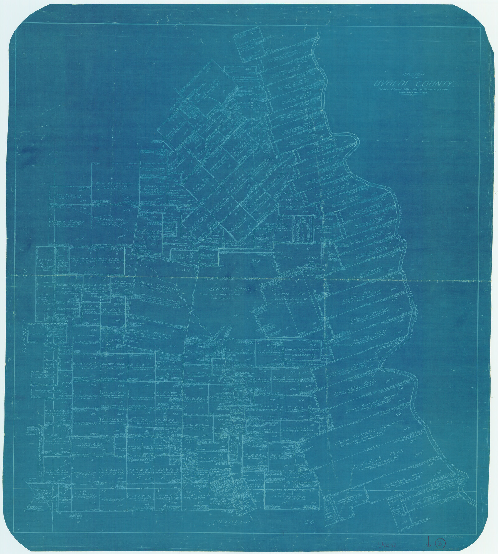
Uvalde County Working Sketch 3
-
Map/Doc
72073
-
Collection
General Map Collection
-
Object Dates
8/31/1915 (Creation Date)
-
Counties
Uvalde
-
Subjects
Surveying Working Sketch
-
Height x Width
37.9 x 34.1 inches
96.3 x 86.6 cm
-
Scale
1" = 1000 varas
Part of: General Map Collection
Taylor County Working Sketch 2

Print $20.00
- Digital $50.00
Taylor County Working Sketch 2
1930
Size 27.3 x 23.1 inches
Map/Doc 69611
Flight Mission No. DQO-2K, Frame 140, Galveston County

Print $20.00
- Digital $50.00
Flight Mission No. DQO-2K, Frame 140, Galveston County
1952
Size 18.8 x 22.5 inches
Map/Doc 85037
Young County Rolled Sketch 6

Print $20.00
- Digital $50.00
Young County Rolled Sketch 6
Size 43.4 x 30.8 inches
Map/Doc 8294
Jeff Davis County Sketch File 18

Print $71.00
- Digital $50.00
Jeff Davis County Sketch File 18
Size 9.7 x 12.9 inches
Map/Doc 27951
Yoakum County Sketch File 11

Print $4.00
- Digital $50.00
Yoakum County Sketch File 11
1914
Size 11.3 x 8.9 inches
Map/Doc 40763
Flight Mission No. DAG-2T, Frame 101, Matagorda County

Print $20.00
- Digital $50.00
Flight Mission No. DAG-2T, Frame 101, Matagorda County
1957
Size 18.6 x 18.3 inches
Map/Doc 86444
Wilbarger County Working Sketch 17

Print $20.00
- Digital $50.00
Wilbarger County Working Sketch 17
1957
Size 7.5 x 18.4 inches
Map/Doc 72555
Flight Mission No. DQN-7K, Frame 7, Calhoun County

Print $20.00
- Digital $50.00
Flight Mission No. DQN-7K, Frame 7, Calhoun County
1953
Size 18.5 x 22.2 inches
Map/Doc 84458
Flight Mission No. BQY-4M, Frame 113, Harris County

Print $20.00
- Digital $50.00
Flight Mission No. BQY-4M, Frame 113, Harris County
1953
Size 18.8 x 22.4 inches
Map/Doc 85280
Panola County Sketch File 10

Print $4.00
- Digital $50.00
Panola County Sketch File 10
Size 8.0 x 10.0 inches
Map/Doc 33465
Township No. 2 South Range No. 23 West of the Indian Meridian

Print $20.00
- Digital $50.00
Township No. 2 South Range No. 23 West of the Indian Meridian
1875
Size 19.3 x 24.4 inches
Map/Doc 75175
Bandera County Working Sketch 3

Print $20.00
- Digital $50.00
Bandera County Working Sketch 3
1914
Size 14.5 x 13.9 inches
Map/Doc 67596
You may also like
Mexico und Texas

Print $20.00
- Digital $50.00
Mexico und Texas
1851
Size 15.8 x 19.1 inches
Map/Doc 93714
Nueces County Sketch File 13

Print $20.00
- Digital $50.00
Nueces County Sketch File 13
1940
Size 18.3 x 18.7 inches
Map/Doc 42178
Flight Mission No. DAG-28K, Frame 26, Matagorda County

Print $20.00
- Digital $50.00
Flight Mission No. DAG-28K, Frame 26, Matagorda County
1953
Size 18.5 x 22.3 inches
Map/Doc 86594
Summer and Winter Health and Pleasure Resorts

Summer and Winter Health and Pleasure Resorts
1890
Size 7.7 x 5.6 inches
Map/Doc 97076
Flight Mission No. BRE-2P, Frame 81, Nueces County

Print $20.00
- Digital $50.00
Flight Mission No. BRE-2P, Frame 81, Nueces County
1956
Size 18.6 x 22.5 inches
Map/Doc 86776

Disputed Territory Between Mexico and the United States

Disputed Territory Between Mexico and the United States
2024
Size 10.7 x 7.9 inches
Map/Doc 97251
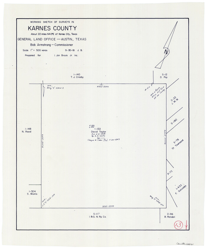
Karnes County Working Sketch 13
Print $20.00
- Digital $50.00
Karnes County Working Sketch 13
1981
Size 20.2 x 16.8 inches
Map/Doc 66661
Township No. 1 North Range No. 26 West of the Indian Meridian

Print $20.00
- Digital $50.00
Township No. 1 North Range No. 26 West of the Indian Meridian
1874
Size 19.3 x 24.4 inches
Map/Doc 75171
Webb County Working Sketch 90

Print $20.00
- Digital $50.00
Webb County Working Sketch 90
1982
Size 26.9 x 25.5 inches
Map/Doc 72457
Map of Van Zandt County Texas

Print $20.00
- Digital $50.00
Map of Van Zandt County Texas
1880
Size 19.0 x 19.6 inches
Map/Doc 4113
Mills County Sketch File 27

Print $8.00
- Digital $50.00
Mills County Sketch File 27
2000
Size 14.4 x 8.7 inches
Map/Doc 31680