Uvalde County Rolled Sketch 5

Print $20.00
- Digital $50.00
Uvalde County Rolled Sketch 5
Size: 38.0 x 42.6 inches
10063
Uvalde County Rolled Sketch 13

Print $20.00
- Digital $50.00
Uvalde County Rolled Sketch 13
Size: 38.3 x 32.4 inches
10065
Uvalde County Rolled Sketch 20

Print $20.00
- Digital $50.00
Uvalde County Rolled Sketch 20
1990
Size: 33.7 x 38.2 inches
10066
Uvalde County Rolled Sketch 21

Print $40.00
- Digital $50.00
Uvalde County Rolled Sketch 21
Size: 54.1 x 45.6 inches
10067
Kinney County Sketch File 12

Print $24.00
- Digital $50.00
Kinney County Sketch File 12
1885
Size: 20.7 x 38.6 inches
10618
[Surveys in the Bexar District along the Nueces and Leona Rivers]
Print $3.00
- Digital $50.00
[Surveys in the Bexar District along the Nueces and Leona Rivers]
1845
Size: 10.9 x 14.3 inches
116
Medina County Sketch File 10

Print $20.00
- Digital $50.00
Medina County Sketch File 10
Size: 18.0 x 22.6 inches
12068
Real County Sketch File 6

Print $20.00
- Digital $50.00
Real County Sketch File 6
1931
Size: 17.3 x 19.6 inches
12229
Real County Sketch File 8

Print $20.00
- Digital $50.00
Real County Sketch File 8
1931
Size: 19.5 x 21.6 inches
12230
Real County Sketch File 12

Print $20.00
- Digital $50.00
Real County Sketch File 12
1932
Size: 13.9 x 19.2 inches
12231
Uvalde County Sketch File 6

Print $20.00
- Digital $50.00
Uvalde County Sketch File 6
Size: 25.0 x 31.4 inches
12526
Uvalde County Sketch File 12A

Print $20.00
- Digital $50.00
Uvalde County Sketch File 12A
1887
Size: 19.2 x 30.0 inches
12527
Uvalde County Sketch File 13

Print $20.00
- Digital $50.00
Uvalde County Sketch File 13
Size: 14.3 x 29.1 inches
12528
Uvalde County Sketch File 14

Print $6.00
- Digital $50.00
Uvalde County Sketch File 14
1849
Size: 8.5 x 11.0 inches
12529
Uvalde County Sketch File 15a

Print $20.00
- Digital $50.00
Uvalde County Sketch File 15a
1890
Size: 13.2 x 16.7 inches
12530
Uvalde County Sketch File 17

Print $20.00
- Digital $50.00
Uvalde County Sketch File 17
1882
Size: 17.5 x 17.9 inches
12531
Uvalde County Sketch File 20a

Print $20.00
- Digital $50.00
Uvalde County Sketch File 20a
1911
Size: 22.7 x 23.8 inches
12532
Uvalde County Sketch File 23

Print $20.00
- Digital $50.00
Uvalde County Sketch File 23
1923
Size: 20.8 x 23.5 inches
12534
Uvalde County Sketch File 23A

Print $20.00
- Digital $50.00
Uvalde County Sketch File 23A
1923
Size: 18.4 x 23.0 inches
12535
Uvalde County Sketch File 24

Print $42.00
- Digital $50.00
Uvalde County Sketch File 24
1926
Size: 19.4 x 29.9 inches
12536
Uvalde County Sketch File A

Print $40.00
- Digital $50.00
Uvalde County Sketch File A
1912
Size: 23.0 x 18.0 inches
12537
Zavala County Sketch File 43

Print $20.00
- Digital $50.00
Zavala County Sketch File 43
1915
Size: 26.8 x 32.4 inches
12733
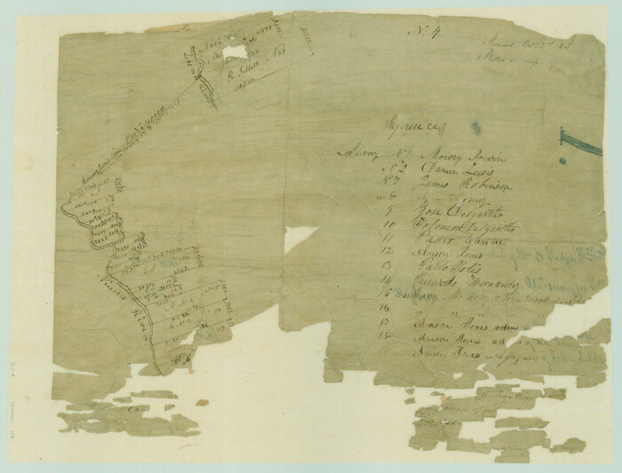
[Surveys in the Bexar District along the Leona River]
Print $20.00
- Digital $50.00
[Surveys in the Bexar District along the Leona River]
1841
Size: 19.9 x 10.9 inches
135
Map of Uvalde Co.

Print $20.00
- Digital $50.00
Map of Uvalde Co.
1893
Size: 42.7 x 42.5 inches
16911
Plat of Proposed County

Print $20.00
- Digital $50.00
Plat of Proposed County
1909
Size: 23.9 x 30.8 inches
1712
Crockett County Sketch File 8 (1)

Print $6.00
- Digital $50.00
Crockett County Sketch File 8 (1)
1858
Size: 9.8 x 4.6 inches
19652
[Surveys in the Bexar District along the Frio River and Commanche [sic] Creek]
Print $20.00
- Digital $50.00
[Surveys in the Bexar District along the Frio River and Commanche [sic] Creek]
1846
Size: 23.8 x 18.9 inches
228
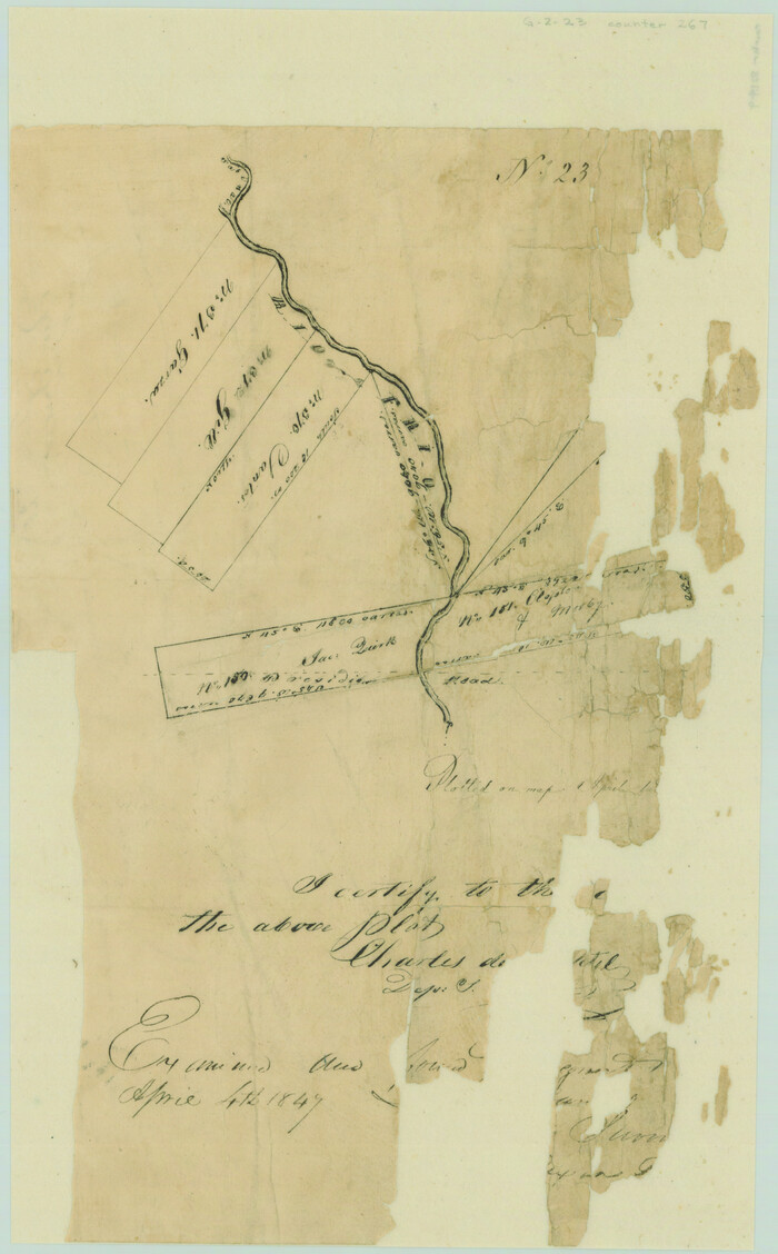
[Surveys on the Rio Frio]
Print $2.00
- Digital $50.00
[Surveys on the Rio Frio]
1847
Size: 11.8 x 7.3 inches
267
Uvalde County Rolled Sketch 5
Print $20.00
- Digital $50.00
Uvalde County Rolled Sketch 5
-
Size
38.0 x 42.6 inches
-
Map/Doc
10063
Uvalde County Rolled Sketch 13
Print $20.00
- Digital $50.00
Uvalde County Rolled Sketch 13
-
Size
38.3 x 32.4 inches
-
Map/Doc
10065
Uvalde County Rolled Sketch 20
Print $20.00
- Digital $50.00
Uvalde County Rolled Sketch 20
1990
-
Size
33.7 x 38.2 inches
-
Map/Doc
10066
-
Creation Date
1990
Uvalde County Rolled Sketch 21
Print $40.00
- Digital $50.00
Uvalde County Rolled Sketch 21
-
Size
54.1 x 45.6 inches
-
Map/Doc
10067
Kinney County Sketch File 12
Print $24.00
- Digital $50.00
Kinney County Sketch File 12
1885
-
Size
20.7 x 38.6 inches
-
Map/Doc
10618
-
Creation Date
1885
[Surveys in the Bexar District along the Nueces and Leona Rivers]
Print $3.00
- Digital $50.00
[Surveys in the Bexar District along the Nueces and Leona Rivers]
1845
-
Size
10.9 x 14.3 inches
-
Map/Doc
116
-
Creation Date
1845
Medina County Sketch File 10
Print $20.00
- Digital $50.00
Medina County Sketch File 10
-
Size
18.0 x 22.6 inches
-
Map/Doc
12068
Real County Sketch File 6
Print $20.00
- Digital $50.00
Real County Sketch File 6
1931
-
Size
17.3 x 19.6 inches
-
Map/Doc
12229
-
Creation Date
1931
Real County Sketch File 8
Print $20.00
- Digital $50.00
Real County Sketch File 8
1931
-
Size
19.5 x 21.6 inches
-
Map/Doc
12230
-
Creation Date
1931
Real County Sketch File 12
Print $20.00
- Digital $50.00
Real County Sketch File 12
1932
-
Size
13.9 x 19.2 inches
-
Map/Doc
12231
-
Creation Date
1932
Uvalde County Sketch File 6
Print $20.00
- Digital $50.00
Uvalde County Sketch File 6
-
Size
25.0 x 31.4 inches
-
Map/Doc
12526
Uvalde County Sketch File 12A
Print $20.00
- Digital $50.00
Uvalde County Sketch File 12A
1887
-
Size
19.2 x 30.0 inches
-
Map/Doc
12527
-
Creation Date
1887
Uvalde County Sketch File 13
Print $20.00
- Digital $50.00
Uvalde County Sketch File 13
-
Size
14.3 x 29.1 inches
-
Map/Doc
12528
Uvalde County Sketch File 14
Print $6.00
- Digital $50.00
Uvalde County Sketch File 14
1849
-
Size
8.5 x 11.0 inches
-
Map/Doc
12529
-
Creation Date
1849
Uvalde County Sketch File 15a
Print $20.00
- Digital $50.00
Uvalde County Sketch File 15a
1890
-
Size
13.2 x 16.7 inches
-
Map/Doc
12530
-
Creation Date
1890
Uvalde County Sketch File 17
Print $20.00
- Digital $50.00
Uvalde County Sketch File 17
1882
-
Size
17.5 x 17.9 inches
-
Map/Doc
12531
-
Creation Date
1882
Uvalde County Sketch File 20a
Print $20.00
- Digital $50.00
Uvalde County Sketch File 20a
1911
-
Size
22.7 x 23.8 inches
-
Map/Doc
12532
-
Creation Date
1911
Uvalde County Sketch File 23
Print $20.00
- Digital $50.00
Uvalde County Sketch File 23
1923
-
Size
20.8 x 23.5 inches
-
Map/Doc
12534
-
Creation Date
1923
Uvalde County Sketch File 23A
Print $20.00
- Digital $50.00
Uvalde County Sketch File 23A
1923
-
Size
18.4 x 23.0 inches
-
Map/Doc
12535
-
Creation Date
1923
Uvalde County Sketch File 24
Print $42.00
- Digital $50.00
Uvalde County Sketch File 24
1926
-
Size
19.4 x 29.9 inches
-
Map/Doc
12536
-
Creation Date
1926
Uvalde County Sketch File A
Print $40.00
- Digital $50.00
Uvalde County Sketch File A
1912
-
Size
23.0 x 18.0 inches
-
Map/Doc
12537
-
Creation Date
1912
Zavala County Sketch File 43
Print $20.00
- Digital $50.00
Zavala County Sketch File 43
1915
-
Size
26.8 x 32.4 inches
-
Map/Doc
12733
-
Creation Date
1915
[Surveys in the Bexar District along the Leona River]
Print $20.00
- Digital $50.00
[Surveys in the Bexar District along the Leona River]
1841
-
Size
19.9 x 10.9 inches
-
Map/Doc
135
-
Creation Date
1841
Uvalde County

Print $20.00
- Digital $50.00
Uvalde County
1915
-
Size
46.0 x 46.0 inches
-
Map/Doc
16910
-
Creation Date
1915
Map of Uvalde Co.
Print $20.00
- Digital $50.00
Map of Uvalde Co.
1893
-
Size
42.7 x 42.5 inches
-
Map/Doc
16911
-
Creation Date
1893
Plat of Proposed County
Print $20.00
- Digital $50.00
Plat of Proposed County
1909
-
Size
23.9 x 30.8 inches
-
Map/Doc
1712
-
Creation Date
1909
Uvalde County

Print $20.00
- Digital $50.00
Uvalde County
1915
-
Size
42.7 x 46.5 inches
-
Map/Doc
1898
-
Creation Date
1915
Crockett County Sketch File 8 (1)
Print $6.00
- Digital $50.00
Crockett County Sketch File 8 (1)
1858
-
Size
9.8 x 4.6 inches
-
Map/Doc
19652
-
Creation Date
1858
[Surveys in the Bexar District along the Frio River and Commanche [sic] Creek]
Print $20.00
- Digital $50.00
[Surveys in the Bexar District along the Frio River and Commanche [sic] Creek]
1846
-
Size
23.8 x 18.9 inches
-
Map/Doc
228
-
Creation Date
1846
[Surveys on the Rio Frio]
Print $2.00
- Digital $50.00
[Surveys on the Rio Frio]
1847
-
Size
11.8 x 7.3 inches
-
Map/Doc
267
-
Creation Date
1847