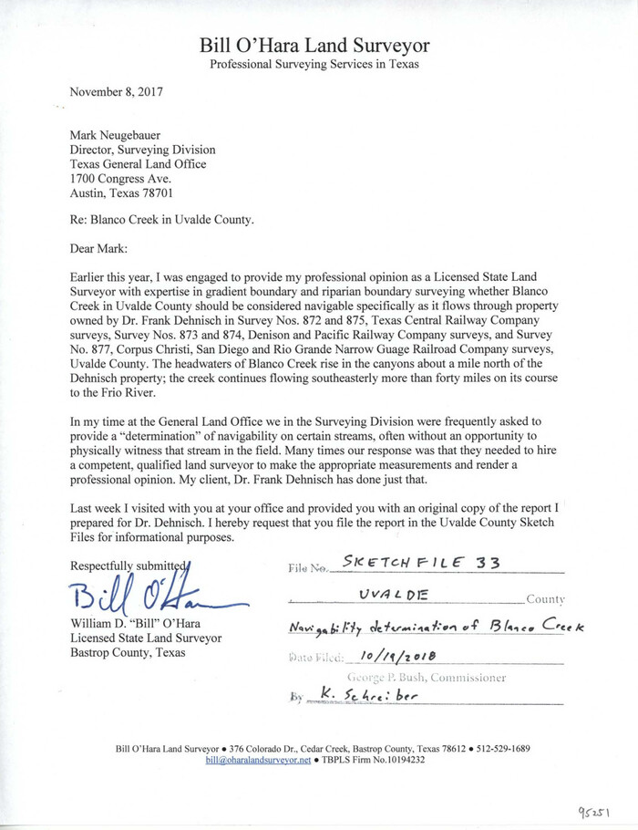
Uvalde County Sketch File 33
2017
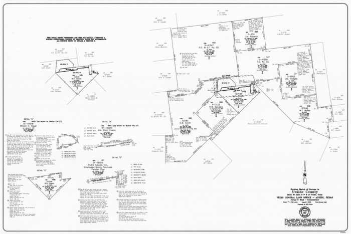
Uvalde County Working Sketch 67
2016

Uvalde County Rolled Sketch 24
2014

Uvalde County Rolled Sketch 23
2008
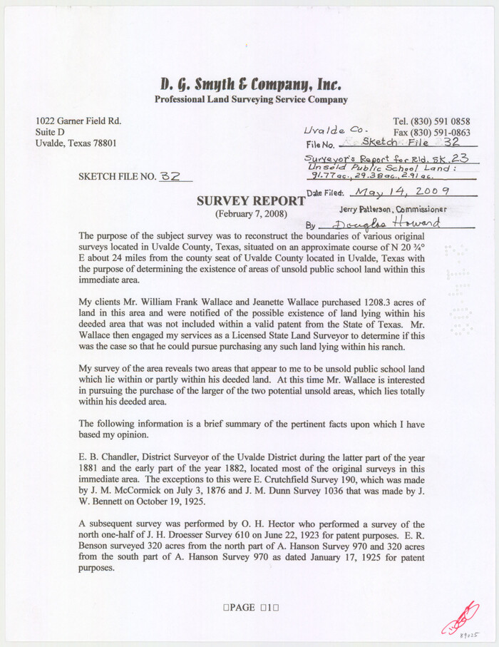
Uvalde County Sketch File 32
2008

Medina County Sketch File 21
2002
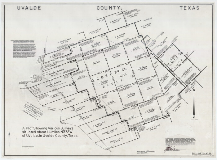
Uvalde County Rolled Sketch 22
2002
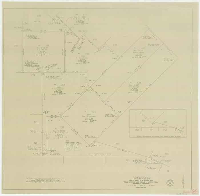
Uvalde County Working Sketch 64
1998
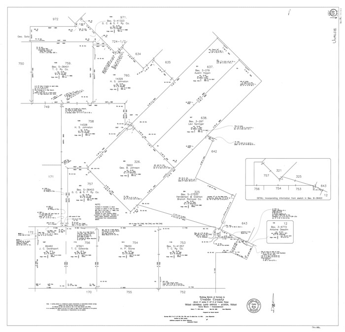
Uvalde County Working Sketch 64, revised
1998

Kinney County Working Sketch 58
1996
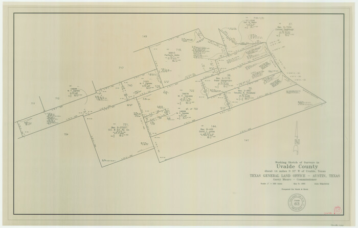
Uvalde County Working Sketch 63
1995

Uvalde County Working Sketch 62
1993
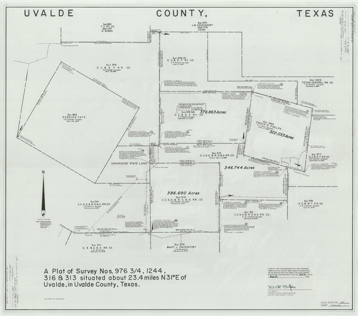
Uvalde County Rolled Sketch 20
1990
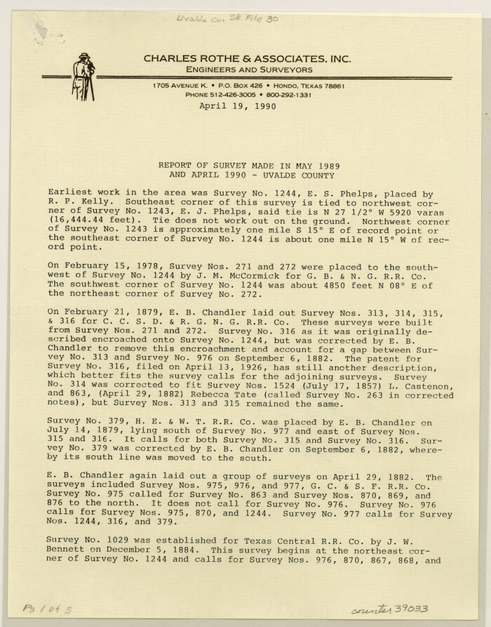
Uvalde County Sketch File 30
1990

Uvalde County Working Sketch 59
1989
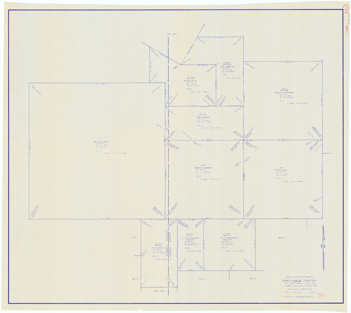
Uvalde County Working Sketch 57
1985

Uvalde County Working Sketch 56
1985
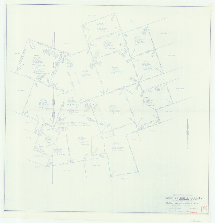
Uvalde County Working Sketch 55
1983
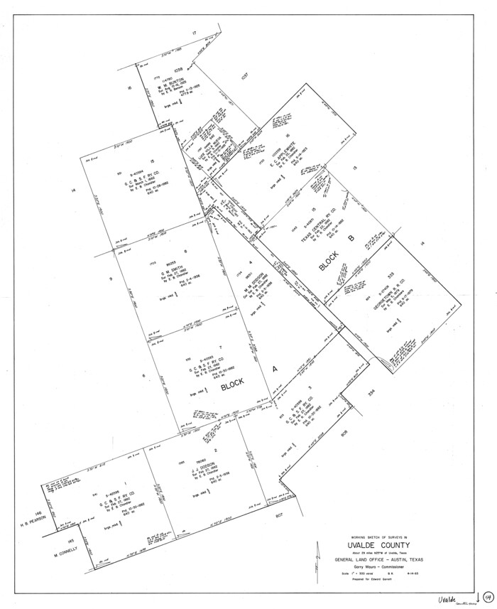
Uvalde County Working Sketch 54
1983

Uvalde County Working Sketch 53
1982
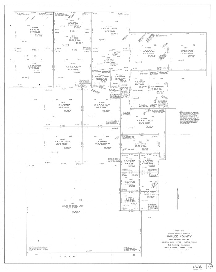
Uvalde County Working Sketch 52
1982

Uvalde County Working Sketch 51
1981

Uvalde County Sketch File 28
1980
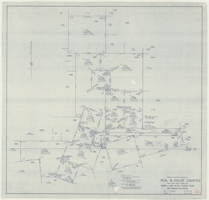
Real County Working Sketch 78
1980
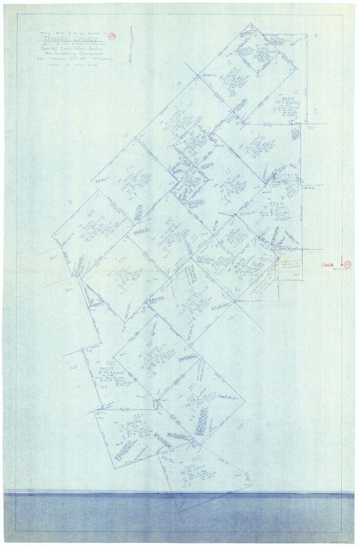
Uvalde County Working Sketch 50
1980
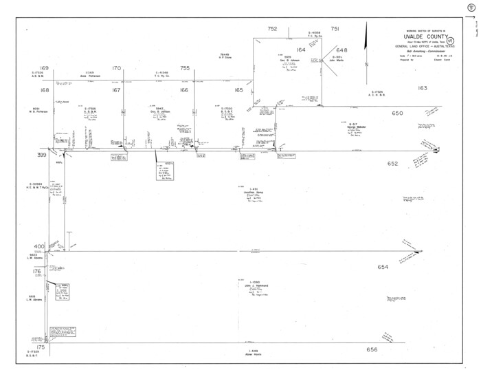
Uvalde County Working Sketch 49
1980
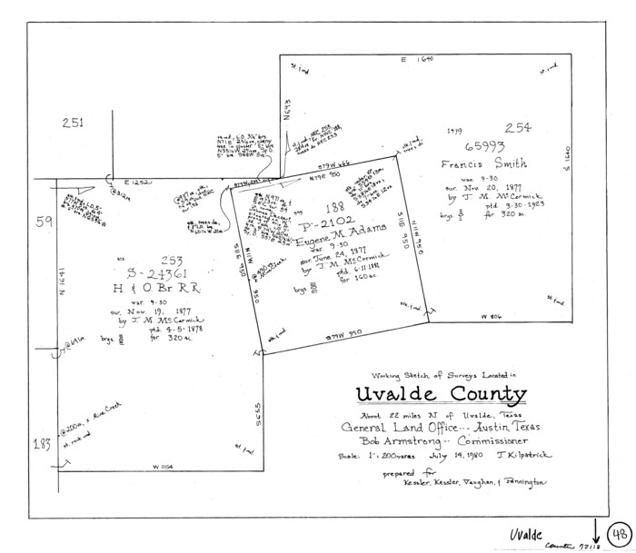
Uvalde County Working Sketch 48
1980

Uvalde County Rolled Sketch 15
1979
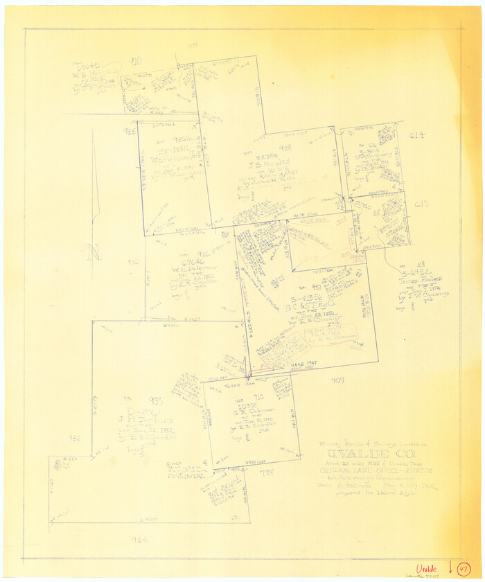
Uvalde County Working Sketch 47
1979

Uvalde County Sketch File 33
2017
-
Size
11.0 x 8.5 inches
-
Map/Doc
95251
-
Creation Date
2017

Texas Hill Country Trail Region
2017
-
Size
18.2 x 24.3 inches
-
Map/Doc
96871
-
Creation Date
2017

Uvalde County Working Sketch 67
2016
-
Size
24.4 x 36.6 inches
-
Map/Doc
94082
-
Creation Date
2016

Uvalde County Rolled Sketch 24
2014
-
Size
16.2 x 16.1 inches
-
Map/Doc
93722
-
Creation Date
2014

Uvalde County Rolled Sketch 23
2008
-
Size
24.6 x 32.6 inches
-
Map/Doc
89024
-
Creation Date
2008

Uvalde County Sketch File 32
2008
-
Size
8.5 x 11.0 inches
-
Map/Doc
89025
-
Creation Date
2008

Medina County Sketch File 21
2002
-
Size
11.2 x 8.7 inches
-
Map/Doc
76343
-
Creation Date
2002

Uvalde County Rolled Sketch 22
2002
-
Size
30.4 x 41.0 inches
-
Map/Doc
78656
-
Creation Date
2002

Uvalde County Working Sketch 64
1998
-
Size
29.9 x 30.6 inches
-
Map/Doc
72134
-
Creation Date
1998

Uvalde County Working Sketch 64, revised
1998
-
Size
34.2 x 35.5 inches
-
Map/Doc
72135
-
Creation Date
1998

Kinney County Working Sketch 58
1996
-
Size
36.1 x 31.7 inches
-
Map/Doc
70240
-
Creation Date
1996

Uvalde County Working Sketch 63
1995
-
Size
26.8 x 42.0 inches
-
Map/Doc
72133
-
Creation Date
1995

Uvalde County Working Sketch 62
1993
-
Size
22.5 x 31.4 inches
-
Map/Doc
72132
-
Creation Date
1993

Uvalde County Rolled Sketch 20
1990
-
Size
33.7 x 38.2 inches
-
Map/Doc
10066
-
Creation Date
1990

Uvalde County Sketch File 30
1990
-
Size
4.4 x 9.9 inches
-
Map/Doc
39032
-
Creation Date
1990

Uvalde County Working Sketch 59
1989
-
Size
25.1 x 39.1 inches
-
Map/Doc
72129
-
Creation Date
1989

Uvalde County Working Sketch 57
1985
-
Size
38.4 x 43.0 inches
-
Map/Doc
72127
-
Creation Date
1985

Uvalde County Working Sketch 56
1985
-
Size
44.8 x 40.6 inches
-
Map/Doc
72126
-
Creation Date
1985

Uvalde County Working Sketch 55
1983
-
Size
38.9 x 37.6 inches
-
Map/Doc
72125
-
Creation Date
1983

Uvalde County Working Sketch 54
1983
-
Size
39.6 x 32.3 inches
-
Map/Doc
72124
-
Creation Date
1983

Uvalde County Working Sketch 53
1982
-
Size
30.4 x 43.0 inches
-
Map/Doc
72123
-
Creation Date
1982

Uvalde County Working Sketch 52
1982
-
Size
45.2 x 35.8 inches
-
Map/Doc
72122
-
Creation Date
1982

Uvalde County Working Sketch 51
1981
-
Size
34.7 x 37.7 inches
-
Map/Doc
72121
-
Creation Date
1981

Uvalde County Sketch File 28
1980
-
Size
14.8 x 8.9 inches
-
Map/Doc
39023
-
Creation Date
1980

Real County Working Sketch 78
1980
-
Size
33.9 x 35.5 inches
-
Map/Doc
71970
-
Creation Date
1980

Uvalde County Working Sketch 50
1980
-
Size
55.7 x 36.6 inches
-
Map/Doc
72120
-
Creation Date
1980

Uvalde County Working Sketch 49
1980
-
Size
35.4 x 44.7 inches
-
Map/Doc
72119
-
Creation Date
1980

Uvalde County Working Sketch 48
1980
-
Size
15.6 x 17.9 inches
-
Map/Doc
72118
-
Creation Date
1980

Uvalde County Rolled Sketch 15
1979
-
Size
26.9 x 23.9 inches
-
Map/Doc
8099
-
Creation Date
1979

Uvalde County Working Sketch 47
1979
-
Size
29.7 x 24.8 inches
-
Map/Doc
72117
-
Creation Date
1979