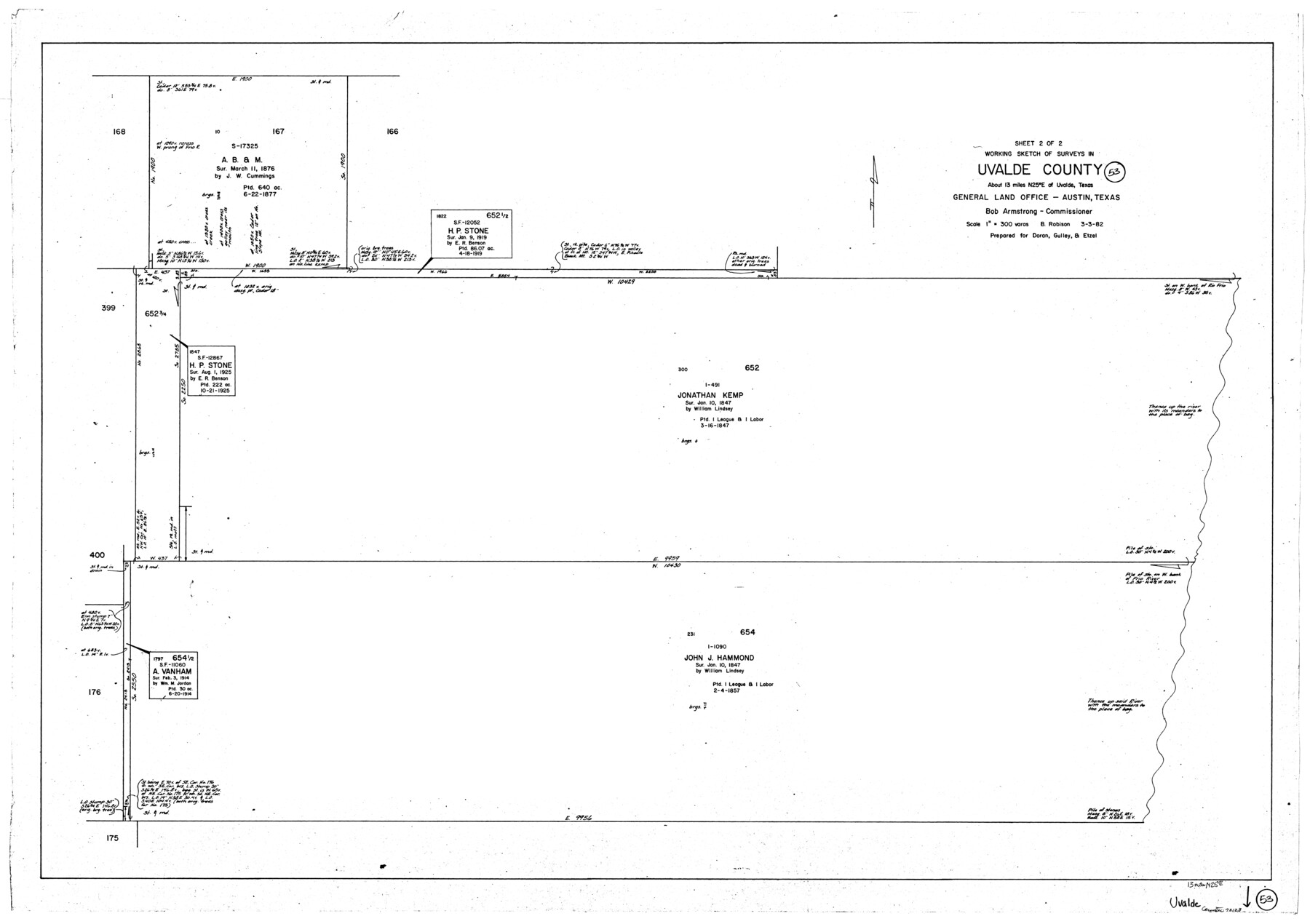
Uvalde County Working Sketch 53
-
Map/Doc
72123
-
Collection
General Map Collection
-
Object Dates
3/3/1982 (Creation Date)
-
People and Organizations
Beverly Robison (Draftsman)
-
Counties
Uvalde
-
Subjects
Surveying Working Sketch
-
Height x Width
30.4 x 43.0 inches
77.2 x 109.2 cm
-
Scale
1" = 300 varas
Part of: General Map Collection
Newton County Rolled Sketch 7

Print $20.00
- Digital $50.00
Newton County Rolled Sketch 7
1943
Size 21.4 x 37.2 inches
Map/Doc 6843
Crockett County Sketch File 52

Print $4.00
- Digital $50.00
Crockett County Sketch File 52
Size 9.5 x 8.8 inches
Map/Doc 19817
Pecos County Rolled Sketch 18

Print $20.00
- Digital $50.00
Pecos County Rolled Sketch 18
1882
Size 34.4 x 44.1 inches
Map/Doc 9683
Grayson County Rolled Sketch 3

Print $20.00
- Digital $50.00
Grayson County Rolled Sketch 3
1952
Size 33.7 x 46.1 inches
Map/Doc 9666
Andrews County Working Sketch 11

Print $20.00
- Digital $50.00
Andrews County Working Sketch 11
1955
Size 20.6 x 25.2 inches
Map/Doc 67057
Flight Mission No. BQY-4M, Frame 42, Harris County

Print $20.00
- Digital $50.00
Flight Mission No. BQY-4M, Frame 42, Harris County
1953
Size 18.7 x 22.4 inches
Map/Doc 85257
Brazos County Working Sketch Graphic Index

Print $20.00
- Digital $50.00
Brazos County Working Sketch Graphic Index
1922
Size 46.7 x 30.9 inches
Map/Doc 76472
Comal County Working Sketch 11

Print $20.00
- Digital $50.00
Comal County Working Sketch 11
1978
Size 33.2 x 35.2 inches
Map/Doc 68177
Newton County Working Sketch 29

Print $20.00
- Digital $50.00
Newton County Working Sketch 29
1955
Size 21.2 x 39.8 inches
Map/Doc 71275
Gray County Working Sketch 7

Print $20.00
- Digital $50.00
Gray County Working Sketch 7
1971
Size 41.3 x 28.7 inches
Map/Doc 63238
Montgomery County Sketch File 17

Print $42.00
- Digital $50.00
Montgomery County Sketch File 17
1912
Size 8.6 x 7.8 inches
Map/Doc 31832
Map of Harrison County

Print $20.00
- Digital $50.00
Map of Harrison County
1871
Size 18.0 x 19.1 inches
Map/Doc 1117
You may also like
Reagan County Working Sketch 19

Print $20.00
- Digital $50.00
Reagan County Working Sketch 19
1954
Size 24.3 x 42.9 inches
Map/Doc 71861
Jeff Davis County Rolled Sketch 15

Print $20.00
- Digital $50.00
Jeff Davis County Rolled Sketch 15
1897
Size 20.4 x 17.2 inches
Map/Doc 6368
Galveston Harbor and Channel, Texas - Rehabilitation of Beachfront Groins - Present Construction

Print $4.00
- Digital $50.00
Galveston Harbor and Channel, Texas - Rehabilitation of Beachfront Groins - Present Construction
1967
Size 15.6 x 21.0 inches
Map/Doc 73619
Rio Grande, Lower Rio Grande Valley/Bulletin 29-A

Print $4.00
- Digital $50.00
Rio Grande, Lower Rio Grande Valley/Bulletin 29-A
1937
Size 12.1 x 24.0 inches
Map/Doc 65103
Travels to the source of the Missouri River and across the American Continent to the Pacific Ocean - Vol. 1

Travels to the source of the Missouri River and across the American Continent to the Pacific Ocean - Vol. 1
1815
Map/Doc 97411
[Map Showing Panhandle Counties in Texas]
![2087, [Map Showing Panhandle Counties in Texas], General Map Collection](https://historictexasmaps.com/wmedia_w700/maps/2087.tif.jpg)
Print $20.00
- Digital $50.00
[Map Showing Panhandle Counties in Texas]
1876
Size 27.3 x 27.9 inches
Map/Doc 2087
Andrews County Working Sketch 29

Print $20.00
- Digital $50.00
Andrews County Working Sketch 29
1988
Size 25.9 x 25.8 inches
Map/Doc 67075
[Red River & Southwestern Ry. Co. from Henrietta to Archer City]
![64147, [Red River & Southwestern Ry. Co. from Henrietta to Archer City], General Map Collection](https://historictexasmaps.com/wmedia_w700/maps/64147.tif.jpg)
Print $20.00
- Digital $50.00
[Red River & Southwestern Ry. Co. from Henrietta to Archer City]
Size 14.3 x 21.1 inches
Map/Doc 64147
Map of Atascosa Co.

Print $40.00
- Digital $50.00
Map of Atascosa Co.
1894
Size 48.3 x 46.6 inches
Map/Doc 4877
Hockley County Sketch File 8

Print $20.00
- Digital $50.00
Hockley County Sketch File 8
Size 35.0 x 26.2 inches
Map/Doc 11771
Webb County Sketch File 11-1

Print $8.00
- Digital $50.00
Webb County Sketch File 11-1
1884
Size 11.3 x 8.5 inches
Map/Doc 39781
Baylor County Sketch File A9

Print $8.00
- Digital $50.00
Baylor County Sketch File A9
1926
Size 11.4 x 8.9 inches
Map/Doc 14096