
Uvalde County Rolled Sketch 5

Uvalde County Rolled Sketch 13
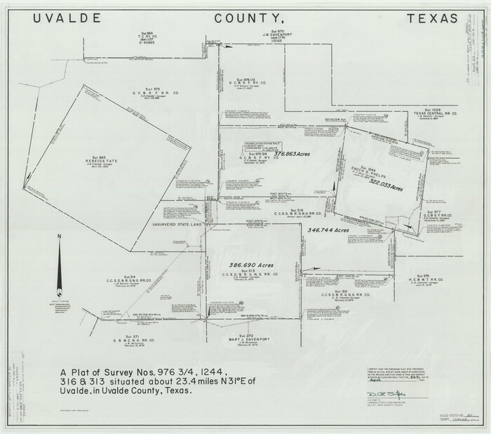
Uvalde County Rolled Sketch 20
1990

Uvalde County Rolled Sketch 21

Kinney County Sketch File 12
1885
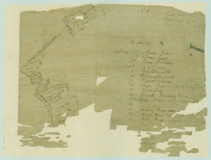
[Surveys in the Bexar District along the Nueces and Leona Rivers]
1845
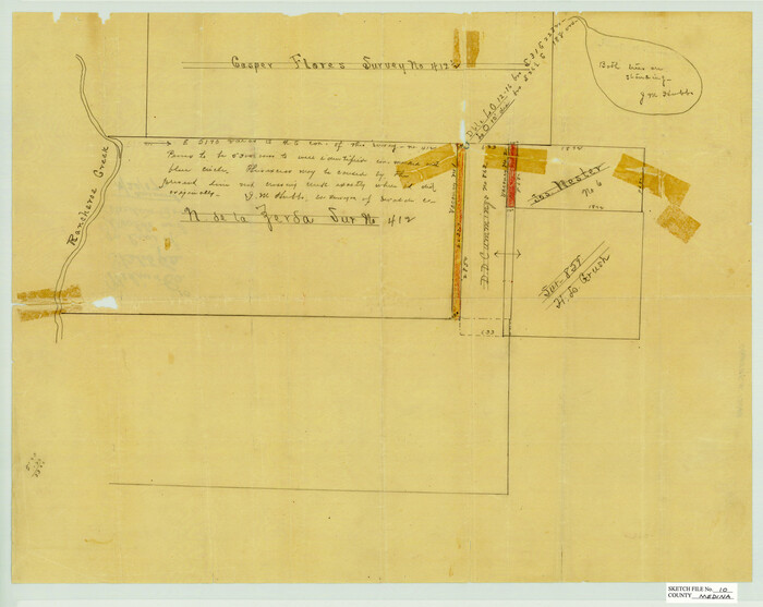
Medina County Sketch File 10

Real County Sketch File 6
1931
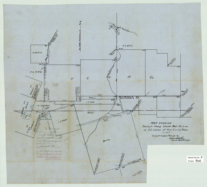
Real County Sketch File 8
1931

Real County Sketch File 12
1932

Uvalde County Sketch File 6

Uvalde County Sketch File 12A
1887
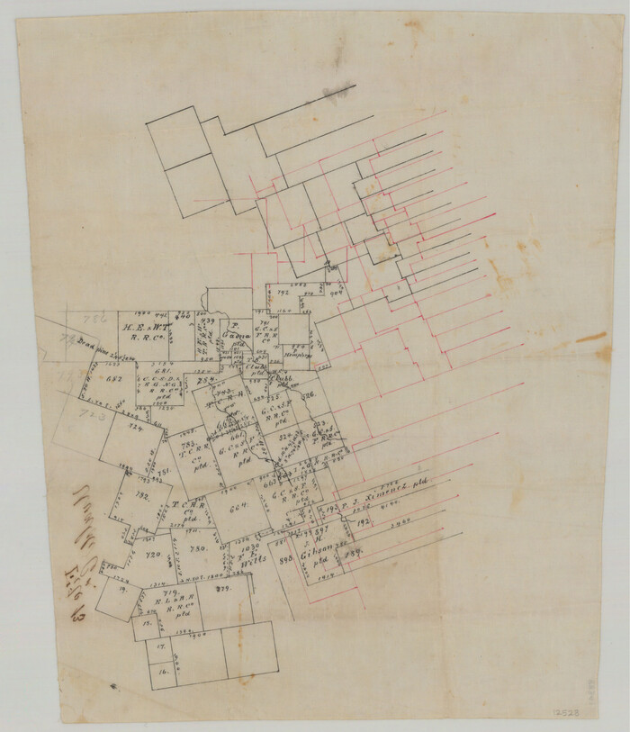
Uvalde County Sketch File 13
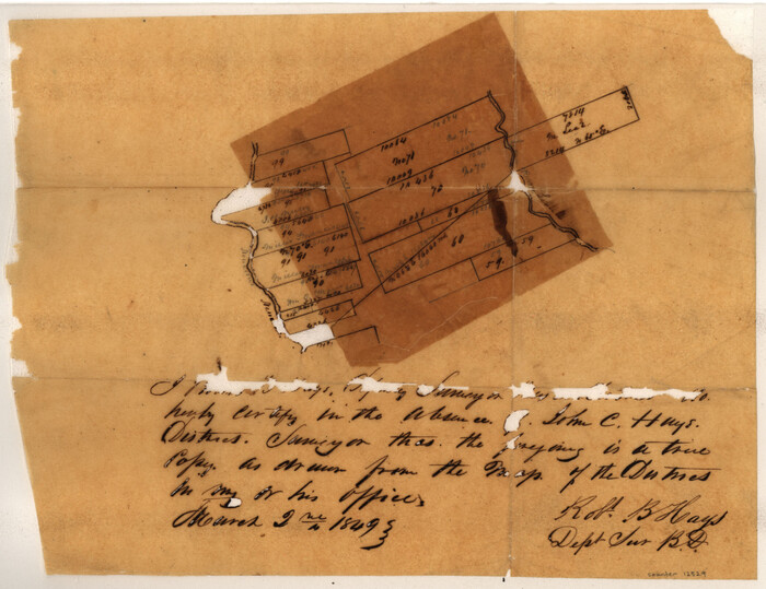
Uvalde County Sketch File 14
1849

Uvalde County Sketch File 15a
1890
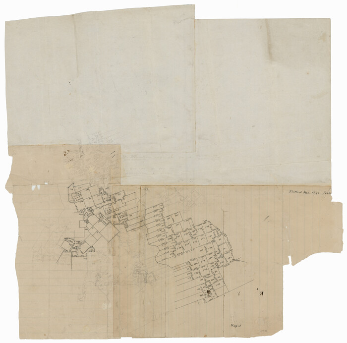
Uvalde County Sketch File 17
1882

Uvalde County Sketch File 20a
1911
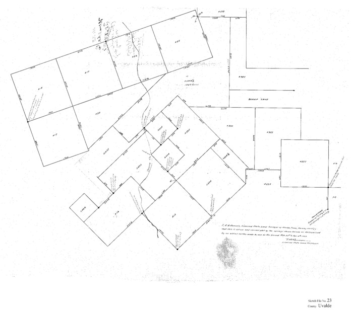
Uvalde County Sketch File 23
1923

Uvalde County Sketch File 23A
1923
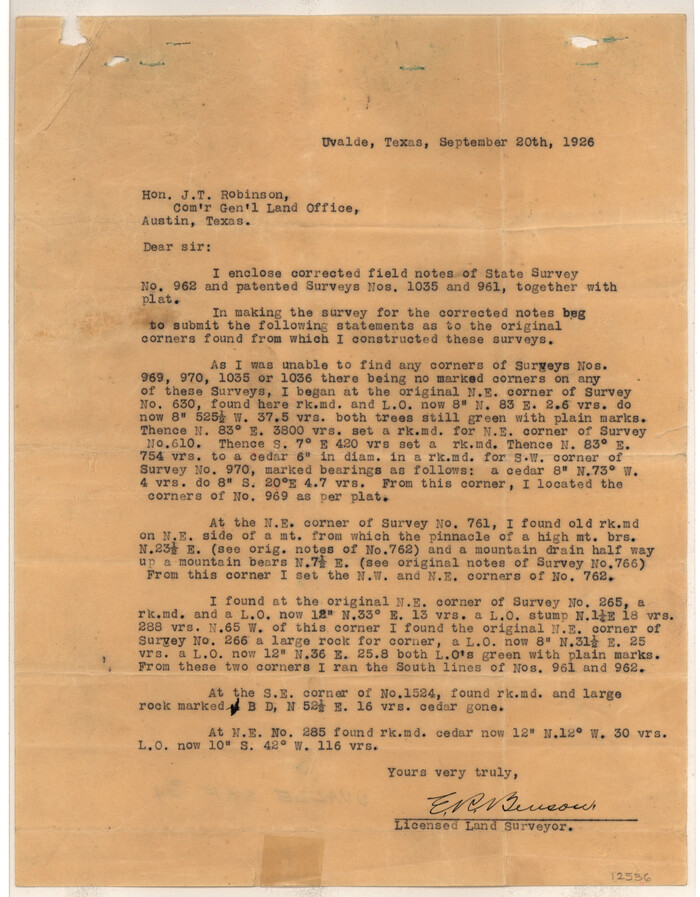
Uvalde County Sketch File 24
1926

Uvalde County Sketch File A
1912
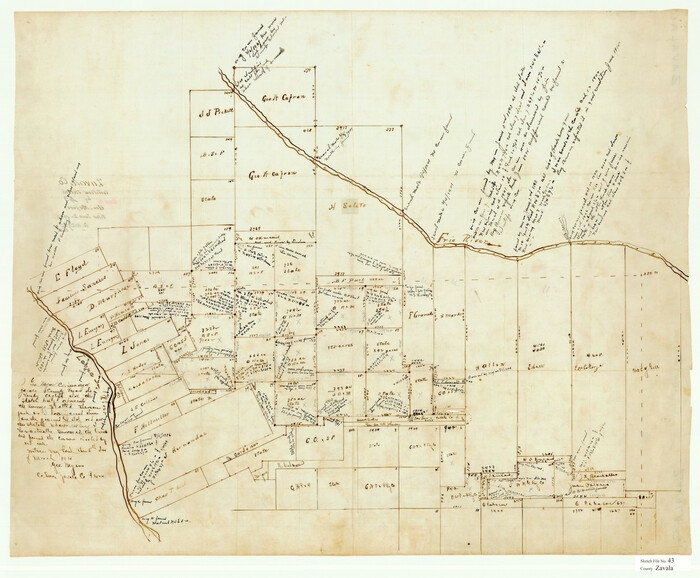
Zavala County Sketch File 43
1915
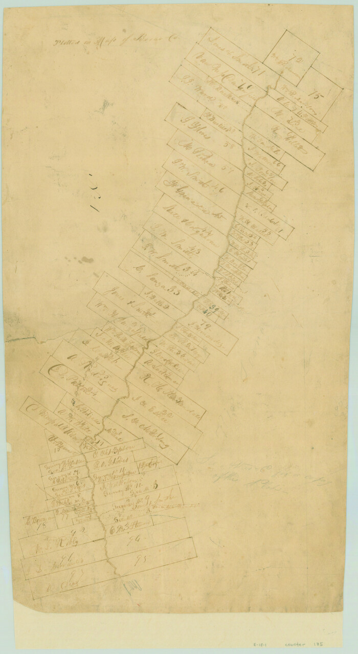
[Surveys in the Bexar District along the Leona River]
1841

Map of Uvalde Co.
1893
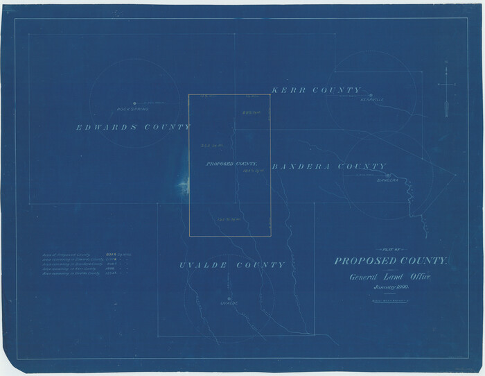
Plat of Proposed County
1909

Crockett County Sketch File 8 (1)
1858
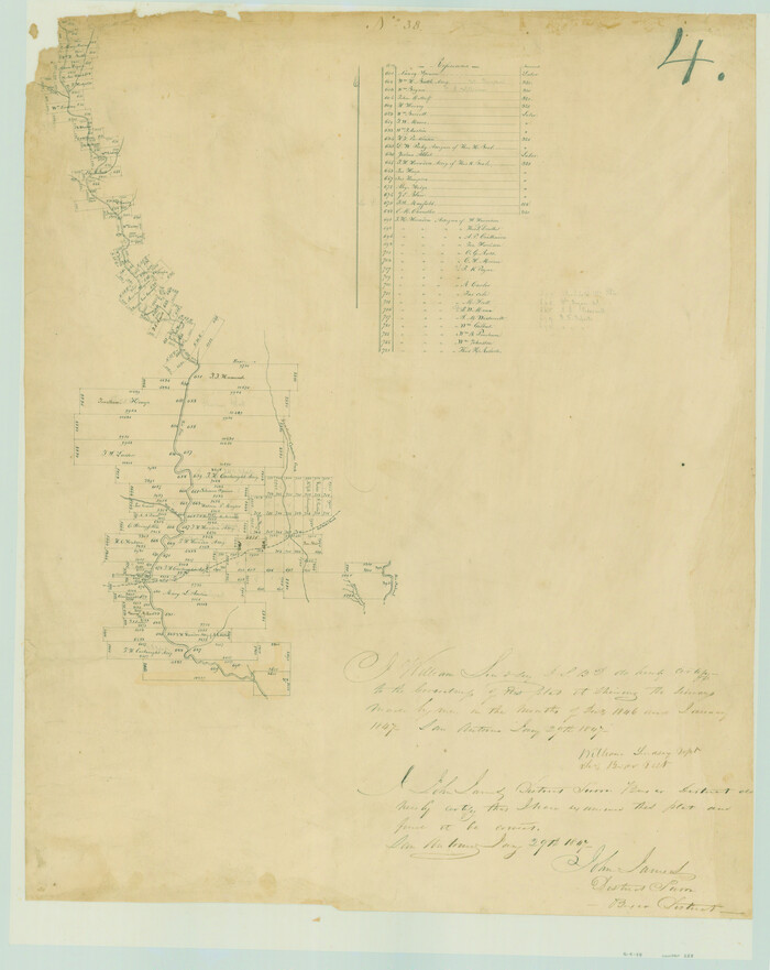
[Surveys in the Bexar District along the Frio River and Commanche [sic] Creek]
1846
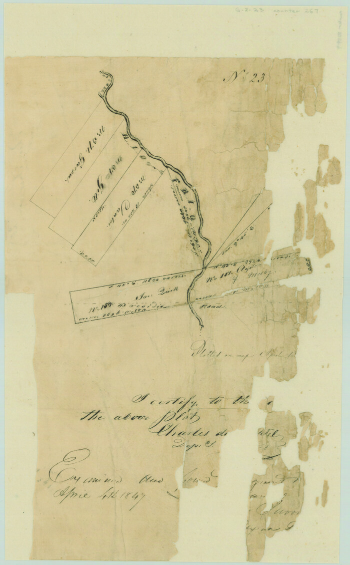
[Surveys on the Rio Frio]
1847

Uvalde County Rolled Sketch 5
-
Size
38.0 x 42.6 inches
-
Map/Doc
10063

Uvalde County Rolled Sketch 13
-
Size
38.3 x 32.4 inches
-
Map/Doc
10065

Uvalde County Rolled Sketch 20
1990
-
Size
33.7 x 38.2 inches
-
Map/Doc
10066
-
Creation Date
1990

Uvalde County Rolled Sketch 21
-
Size
54.1 x 45.6 inches
-
Map/Doc
10067

Kinney County Sketch File 12
1885
-
Size
20.7 x 38.6 inches
-
Map/Doc
10618
-
Creation Date
1885
![116, [Surveys in the Bexar District along the Nueces and Leona Rivers], General Map Collection](https://historictexasmaps.com/wmedia_w700/maps/116.tif.jpg)
[Surveys in the Bexar District along the Nueces and Leona Rivers]
1845
-
Size
10.9 x 14.3 inches
-
Map/Doc
116
-
Creation Date
1845

Medina County Sketch File 10
-
Size
18.0 x 22.6 inches
-
Map/Doc
12068

Real County Sketch File 6
1931
-
Size
17.3 x 19.6 inches
-
Map/Doc
12229
-
Creation Date
1931

Real County Sketch File 8
1931
-
Size
19.5 x 21.6 inches
-
Map/Doc
12230
-
Creation Date
1931

Real County Sketch File 12
1932
-
Size
13.9 x 19.2 inches
-
Map/Doc
12231
-
Creation Date
1932

Uvalde County Sketch File 6
-
Size
25.0 x 31.4 inches
-
Map/Doc
12526

Uvalde County Sketch File 12A
1887
-
Size
19.2 x 30.0 inches
-
Map/Doc
12527
-
Creation Date
1887

Uvalde County Sketch File 13
-
Size
14.3 x 29.1 inches
-
Map/Doc
12528

Uvalde County Sketch File 14
1849
-
Size
8.5 x 11.0 inches
-
Map/Doc
12529
-
Creation Date
1849

Uvalde County Sketch File 15a
1890
-
Size
13.2 x 16.7 inches
-
Map/Doc
12530
-
Creation Date
1890

Uvalde County Sketch File 17
1882
-
Size
17.5 x 17.9 inches
-
Map/Doc
12531
-
Creation Date
1882

Uvalde County Sketch File 20a
1911
-
Size
22.7 x 23.8 inches
-
Map/Doc
12532
-
Creation Date
1911

Uvalde County Sketch File 23
1923
-
Size
20.8 x 23.5 inches
-
Map/Doc
12534
-
Creation Date
1923

Uvalde County Sketch File 23A
1923
-
Size
18.4 x 23.0 inches
-
Map/Doc
12535
-
Creation Date
1923

Uvalde County Sketch File 24
1926
-
Size
19.4 x 29.9 inches
-
Map/Doc
12536
-
Creation Date
1926

Uvalde County Sketch File A
1912
-
Size
23.0 x 18.0 inches
-
Map/Doc
12537
-
Creation Date
1912

Zavala County Sketch File 43
1915
-
Size
26.8 x 32.4 inches
-
Map/Doc
12733
-
Creation Date
1915
![135, [Surveys in the Bexar District along the Leona River], General Map Collection](https://historictexasmaps.com/wmedia_w700/maps/135.tif.jpg)
[Surveys in the Bexar District along the Leona River]
1841
-
Size
19.9 x 10.9 inches
-
Map/Doc
135
-
Creation Date
1841
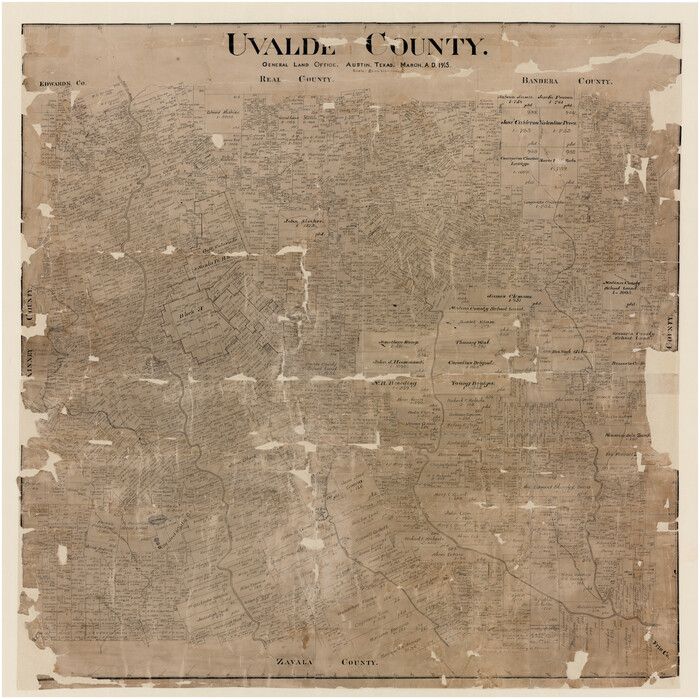
Uvalde County
1915
-
Size
46.0 x 46.0 inches
-
Map/Doc
16910
-
Creation Date
1915

Map of Uvalde Co.
1893
-
Size
42.7 x 42.5 inches
-
Map/Doc
16911
-
Creation Date
1893

Plat of Proposed County
1909
-
Size
23.9 x 30.8 inches
-
Map/Doc
1712
-
Creation Date
1909
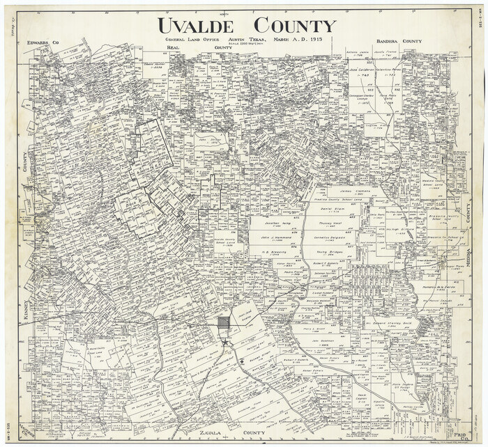
Uvalde County
1915
-
Size
42.7 x 46.5 inches
-
Map/Doc
1898
-
Creation Date
1915

Crockett County Sketch File 8 (1)
1858
-
Size
9.8 x 4.6 inches
-
Map/Doc
19652
-
Creation Date
1858
![228, [Surveys in the Bexar District along the Frio River and Commanche [sic] Creek], General Map Collection](https://historictexasmaps.com/wmedia_w700/maps/228.tif.jpg)
[Surveys in the Bexar District along the Frio River and Commanche [sic] Creek]
1846
-
Size
23.8 x 18.9 inches
-
Map/Doc
228
-
Creation Date
1846
![267, [Surveys on the Rio Frio], General Map Collection](https://historictexasmaps.com/wmedia_w700/maps/267.tif.jpg)
[Surveys on the Rio Frio]
1847
-
Size
11.8 x 7.3 inches
-
Map/Doc
267
-
Creation Date
1847