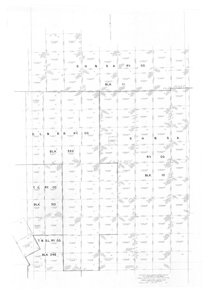
Brewster County Rolled Sketch 101
1927

Brewster County Rolled Sketch 101
1927

Brewster County Rolled Sketch 60
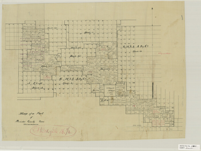
Brewster County Sketch File N-1
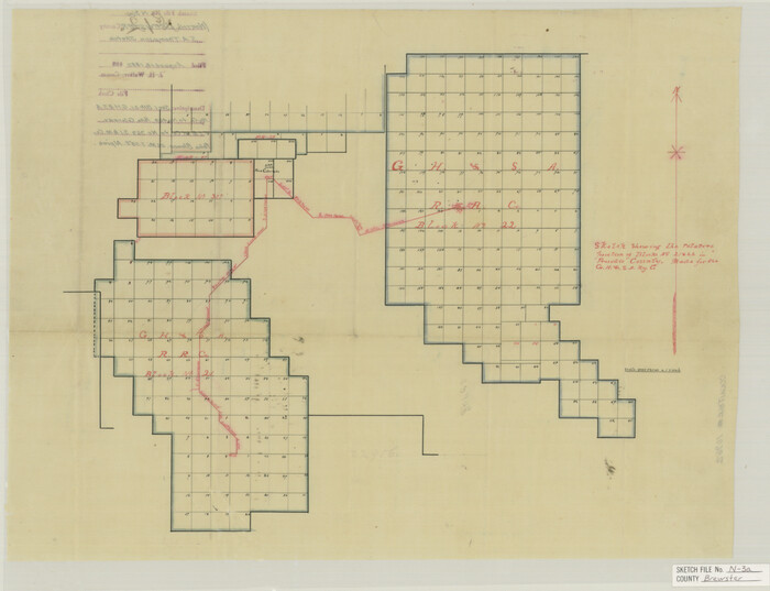
Brewster County Sketch File N-3a
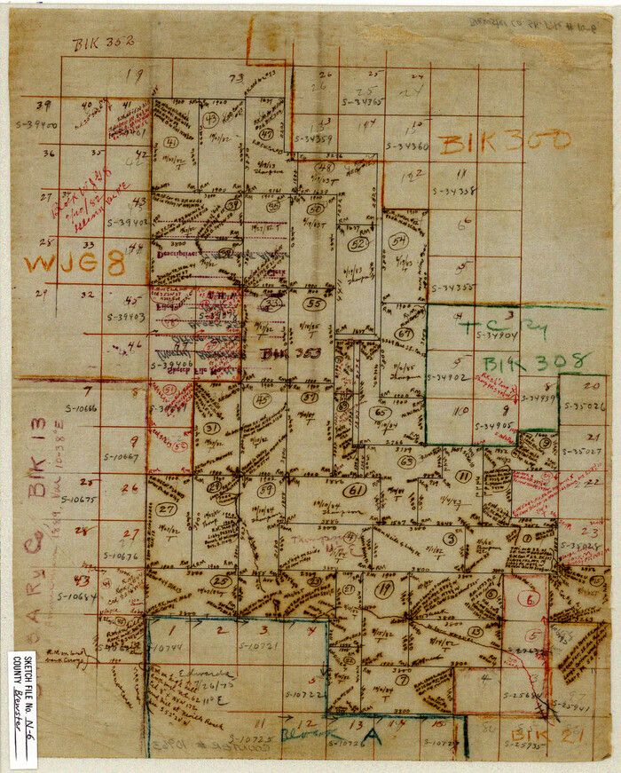
Brewster County Sketch File N-6
1914

Brewster County Sketch File N-9
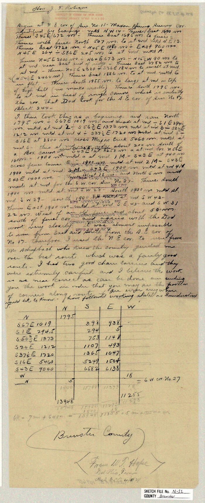
Brewster County Sketch File N-11
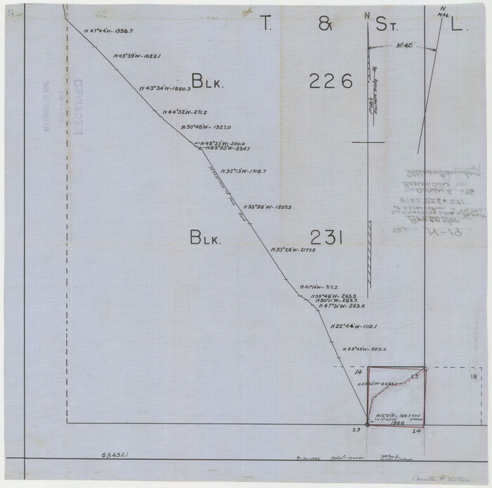
Brewster County Sketch File N-19
1946

Brewster County Sketch File N-20
1941

Brewster County Sketch File N-21
1951
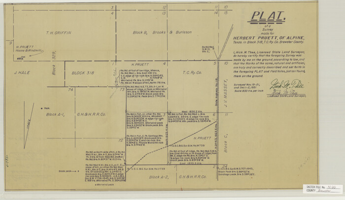
Brewster County Sketch File N-22
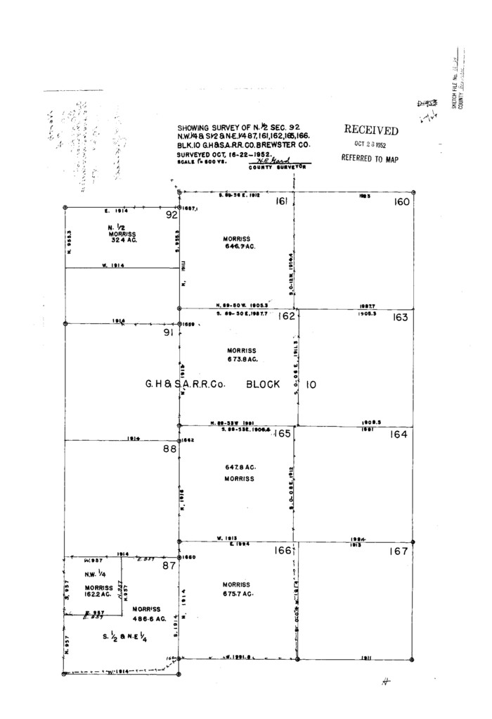
Brewster County Sketch File N-24
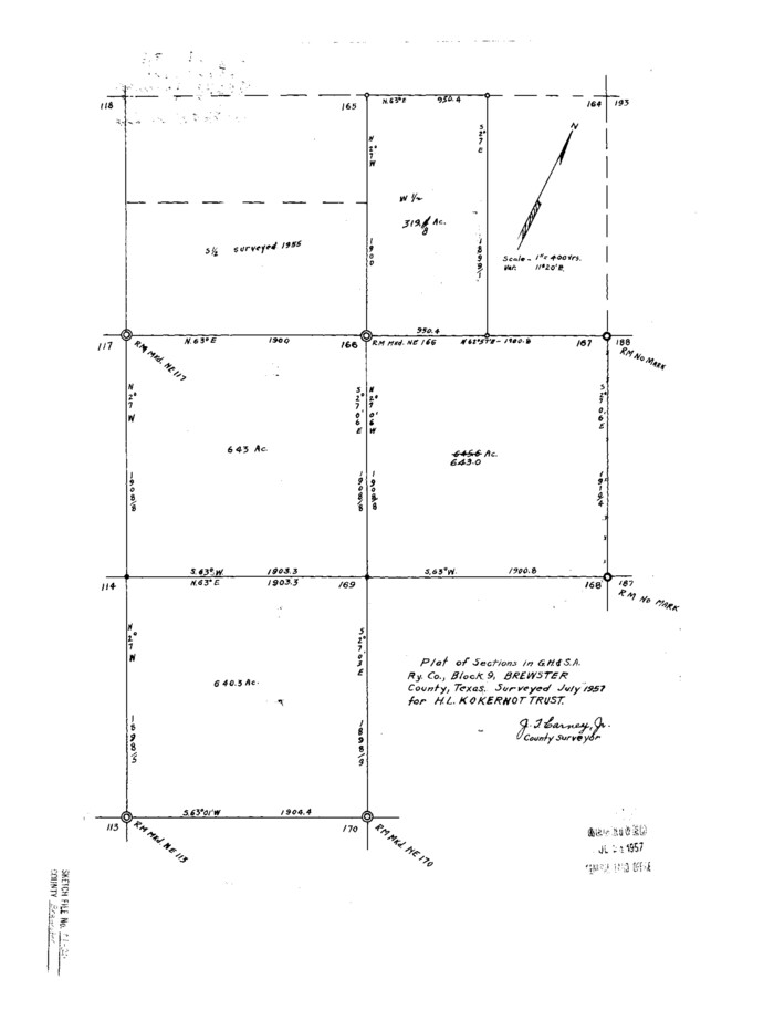
Brewster County Sketch File N-26
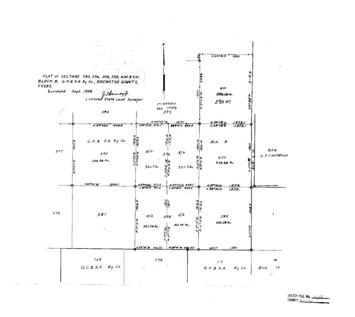
Brewster County Sketch File N-27

Brewster County Sketch File N-28

Brewster County Sketch File A
1910
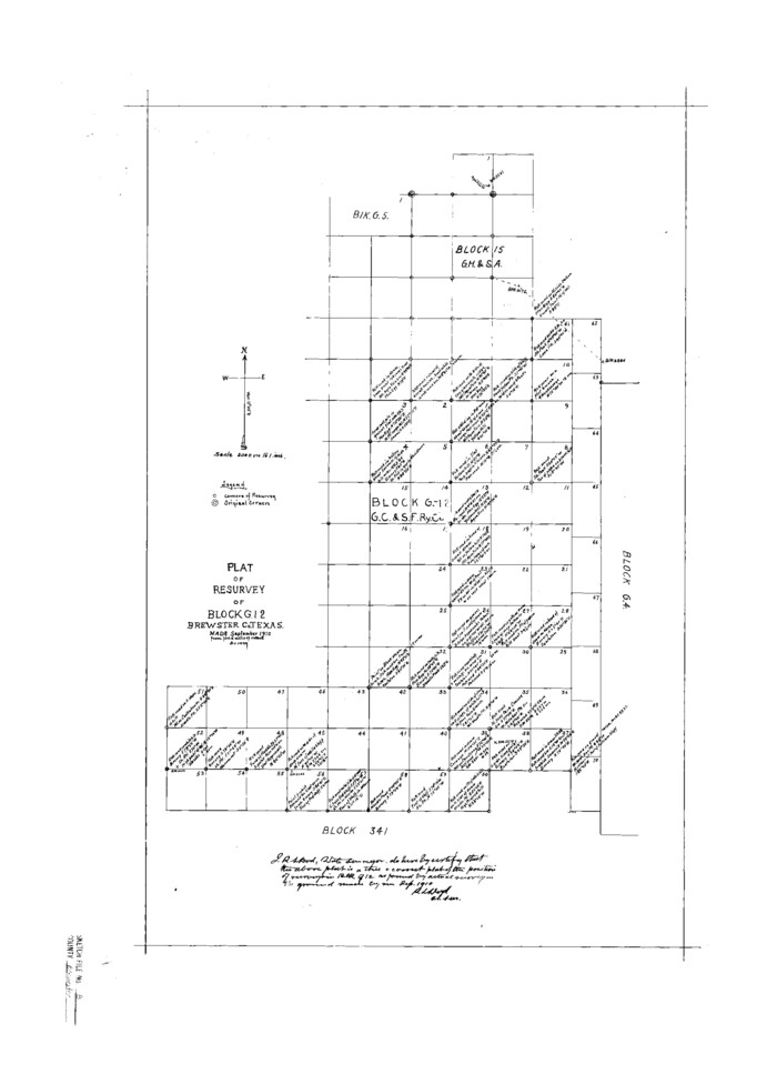
Brewster County Sketch File B
1910

Brewster County Sketch File C
1911
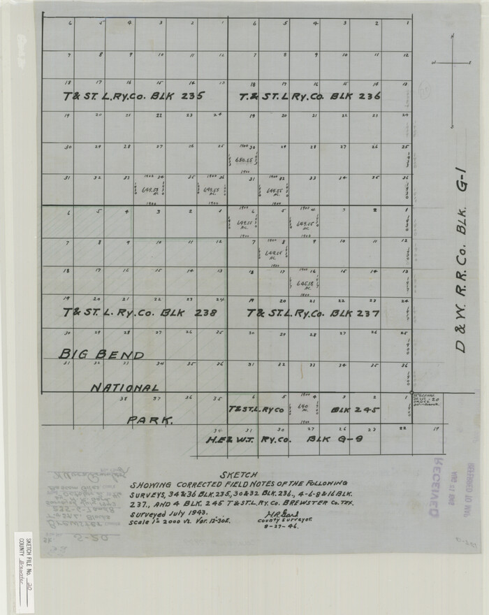
Brewster County Sketch File 20
1946
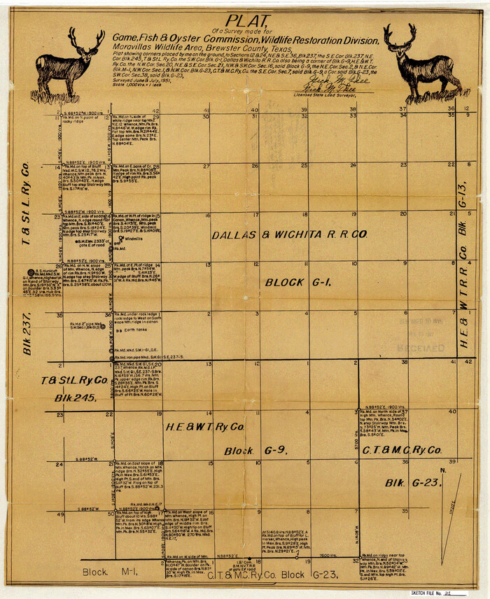
Brewster County Sketch File 21
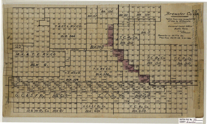
Brewster County Sketch File 42
1914
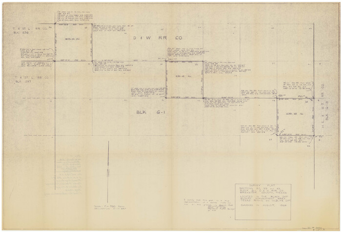
Brewster County Sketch File S-28
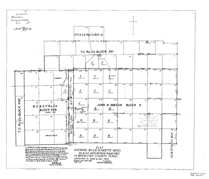
Brewster County Sketch File FN-34
1943
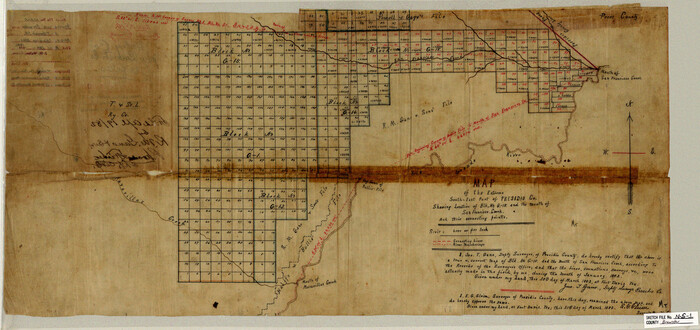
Brewster County Sketch File NS-1
1882

Brewster County Sketch File NS-3
1913
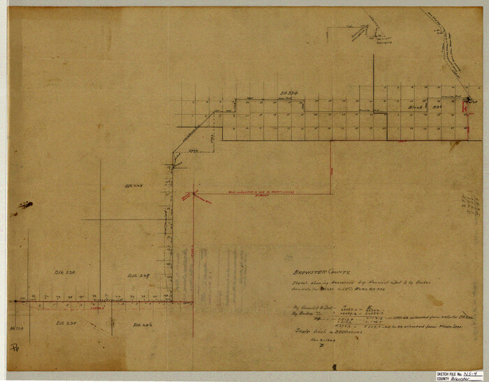
Brewster County Sketch File NS-4
1929

Brewster County Sketch File NS-4b
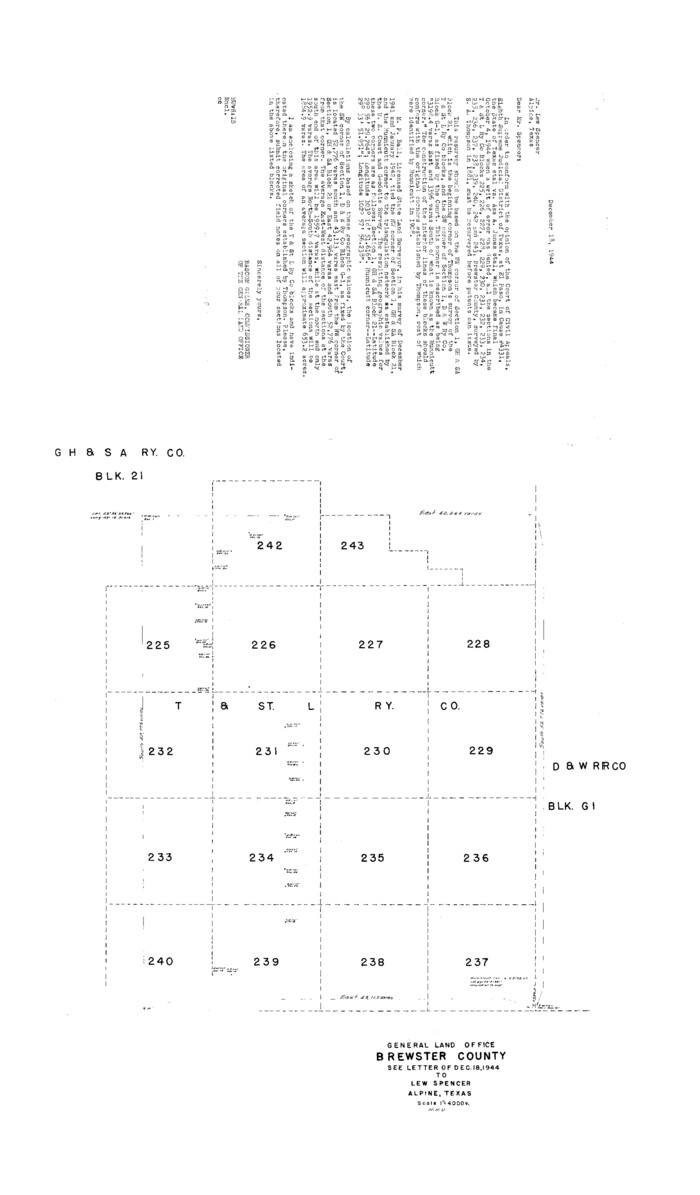
Brewster County Sketch File NS-6
1944

Brewster County Sketch File NS-12

Brewster County Rolled Sketch 101
1927
-
Size
63.0 x 46.2 inches
-
Map/Doc
10648
-
Creation Date
1927

Brewster County Rolled Sketch 101
1927
-
Size
74.7 x 50.4 inches
-
Map/Doc
10649
-
Creation Date
1927

Brewster County Rolled Sketch 60
-
Size
36.6 x 50.3 inches
-
Map/Doc
10692

Brewster County Sketch File N-1
-
Size
16.6 x 22.1 inches
-
Map/Doc
10961

Brewster County Sketch File N-3a
-
Size
14.5 x 18.9 inches
-
Map/Doc
10962

Brewster County Sketch File N-6
1914
-
Size
15.8 x 12.7 inches
-
Map/Doc
10963
-
Creation Date
1914

Brewster County Sketch File N-9
-
Size
17.4 x 15.7 inches
-
Map/Doc
10964

Brewster County Sketch File N-11
-
Size
23.2 x 9.5 inches
-
Map/Doc
10965

Brewster County Sketch File N-19
1946
-
Size
18.7 x 26.2 inches
-
Map/Doc
10966
-
Creation Date
1946

Brewster County Sketch File N-20
1941
-
Size
16.5 x 20.5 inches
-
Map/Doc
10967
-
Creation Date
1941

Brewster County Sketch File N-21
1951
-
Size
18.0 x 18.6 inches
-
Map/Doc
10968
-
Creation Date
1951

Brewster County Sketch File N-22
-
Size
12.4 x 21.4 inches
-
Map/Doc
10969

Brewster County Sketch File N-24
-
Size
23.9 x 16.4 inches
-
Map/Doc
10970

Brewster County Sketch File N-26
-
Size
20.5 x 15.4 inches
-
Map/Doc
10971

Brewster County Sketch File N-27
-
Size
16.0 x 17.9 inches
-
Map/Doc
10972

Brewster County Sketch File N-28
-
Size
23.4 x 24.3 inches
-
Map/Doc
10973

Brewster County Sketch File A
1910
-
Size
18.6 x 19.9 inches
-
Map/Doc
10974
-
Creation Date
1910

Brewster County Sketch File B
1910
-
Size
25.5 x 18.3 inches
-
Map/Doc
10975
-
Creation Date
1910

Brewster County Sketch File C
1911
-
Size
18.6 x 26.6 inches
-
Map/Doc
10976
-
Creation Date
1911

Brewster County Sketch File 20
1946
-
Size
19.1 x 15.2 inches
-
Map/Doc
10979
-
Creation Date
1946

Brewster County Sketch File 21
-
Size
23.1 x 18.9 inches
-
Map/Doc
10980

Brewster County Sketch File 42
1914
-
Size
11.5 x 19.0 inches
-
Map/Doc
10981
-
Creation Date
1914

Brewster County Sketch File S-28
-
Size
26.1 x 36.7 inches
-
Map/Doc
10982

Brewster County Sketch File FN-34
1943
-
Size
23.1 x 27.1 inches
-
Map/Doc
10984
-
Creation Date
1943

Brewster County Sketch File NS-1
1882
-
Size
14.9 x 31.6 inches
-
Map/Doc
10985
-
Creation Date
1882

Brewster County Sketch File NS-3
1913
-
Size
30.9 x 15.6 inches
-
Map/Doc
10986
-
Creation Date
1913

Brewster County Sketch File NS-4
1929
-
Size
17.8 x 22.8 inches
-
Map/Doc
10987
-
Creation Date
1929

Brewster County Sketch File NS-4b
-
Size
30.4 x 35.8 inches
-
Map/Doc
10988

Brewster County Sketch File NS-6
1944
-
Size
31.8 x 18.6 inches
-
Map/Doc
10989
-
Creation Date
1944

Brewster County Sketch File NS-12
-
Size
18.0 x 23.0 inches
-
Map/Doc
10990