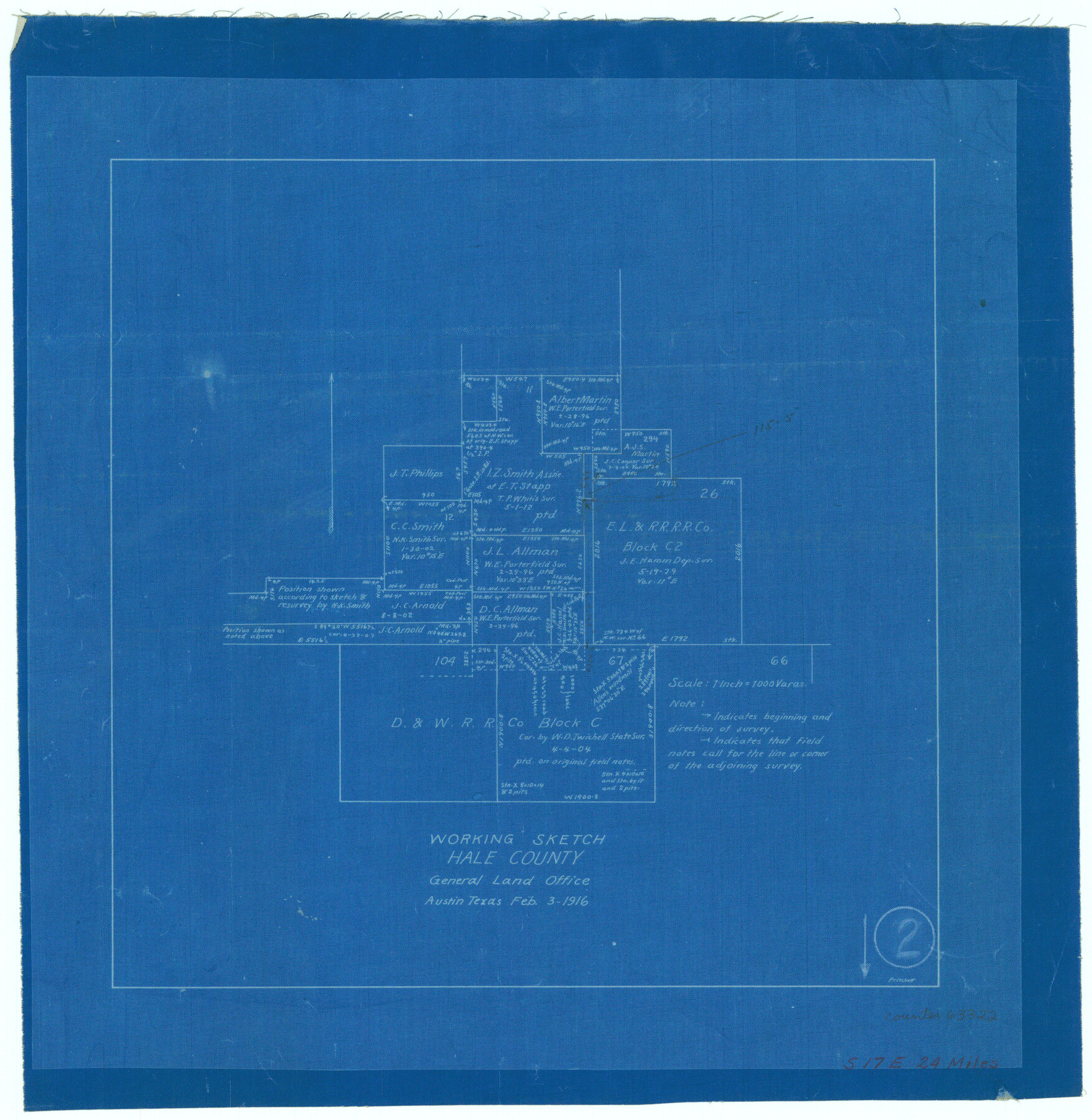
Hale County Working Sketch 2
-
Map/Doc
63322
-
Collection
General Map Collection
-
Object Dates
2/3/1916 (Creation Date)
-
People and Organizations
J.W. Pritchett (Draftsman)
-
Counties
Hale
-
Subjects
Surveying Working Sketch
-
Height x Width
13.5 x 13.1 inches
34.3 x 33.3 cm
-
Scale
1" = 1000 varas
Part of: General Map Collection
Zavalla [sic] County
![16938, Zavalla [sic] County, General Map Collection](https://historictexasmaps.com/wmedia_w700/maps/16938-1.tif.jpg)
Print $20.00
- Digital $50.00
Zavalla [sic] County
1894
Size 42.3 x 44.6 inches
Map/Doc 16938

Flight Mission No. BRA-7M, Frame 39, Jefferson County

Print $20.00
- Digital $50.00
Flight Mission No. BRA-7M, Frame 39, Jefferson County
1953
Size 18.7 x 22.5 inches
Map/Doc 85490
[Nueces Bay Islands and Nesting Birds]
![60311, [Nueces Bay Islands and Nesting Birds], General Map Collection](https://historictexasmaps.com/wmedia_w700/maps/60311.tif.jpg)
Print $2.00
- Digital $50.00
[Nueces Bay Islands and Nesting Birds]
1940
Size 11.5 x 7.1 inches
Map/Doc 60311
Hale County Rolled Sketch 6

Print $20.00
- Digital $50.00
Hale County Rolled Sketch 6
1903
Size 35.0 x 28.9 inches
Map/Doc 6045
Index sheet to accompany map of survey for connecting the inland waters along margin of the Gulf of Mexico from Donaldsonville in Louisiana to the Rio Grande River in Texas

Print $20.00
- Digital $50.00
Index sheet to accompany map of survey for connecting the inland waters along margin of the Gulf of Mexico from Donaldsonville in Louisiana to the Rio Grande River in Texas
Size 18.2 x 27.5 inches
Map/Doc 72691
El Paso County Sketch File 35 (3)

Print $40.00
- Digital $50.00
El Paso County Sketch File 35 (3)
1886
Size 12.8 x 8.3 inches
Map/Doc 22179
Northwest Part Crockett County

Print $40.00
- Digital $50.00
Northwest Part Crockett County
1983
Size 37.3 x 48.3 inches
Map/Doc 95470
Baylor County Sketch File 9

Print $50.00
- Digital $50.00
Baylor County Sketch File 9
1890
Size 13.4 x 9.0 inches
Map/Doc 14139
Clay County Boundary File 9

Print $8.00
- Digital $50.00
Clay County Boundary File 9
Size 7.7 x 8.2 inches
Map/Doc 51393
Hemphill County Working Sketch 1

Print $20.00
- Digital $50.00
Hemphill County Working Sketch 1
1926
Size 15.1 x 19.7 inches
Map/Doc 66096
McCulloch County Sketch File 8

Print $4.00
- Digital $50.00
McCulloch County Sketch File 8
1904
Size 11.3 x 8.7 inches
Map/Doc 31182
You may also like
Flight Mission No. DQO-8K, Frame 86, Galveston County

Print $20.00
- Digital $50.00
Flight Mission No. DQO-8K, Frame 86, Galveston County
1952
Size 18.4 x 22.3 inches
Map/Doc 85188
[Surveys along the San Fernando and Santa Gertrudis, San Patricio District]
![290, [Surveys along the San Fernando and Santa Gertrudis, San Patricio District], General Map Collection](https://historictexasmaps.com/wmedia_w700/maps/290.tif.jpg)
Print $20.00
- Digital $50.00
[Surveys along the San Fernando and Santa Gertrudis, San Patricio District]
1847
Size 13.2 x 16.4 inches
Map/Doc 290
Sketch Showing Survey of Sec. 2 Public School Lands Block B-16, Ector County, Texas

Print $20.00
- Digital $50.00
Sketch Showing Survey of Sec. 2 Public School Lands Block B-16, Ector County, Texas
1930
Size 39.6 x 20.9 inches
Map/Doc 90924
Map of Young County

Print $20.00
- Digital $50.00
Map of Young County
1897
Size 44.1 x 37.9 inches
Map/Doc 63140
Starr County Sketch File 33

Print $8.00
- Digital $50.00
Starr County Sketch File 33
1938
Size 14.3 x 8.8 inches
Map/Doc 36971
Galveston County NRC Article 33.136 Sketch 79

Print $292.00
- Digital $50.00
Galveston County NRC Article 33.136 Sketch 79
2015
Size 22.0 x 34.0 inches
Map/Doc 94880
Terrell County Working Sketch 9

Print $20.00
- Digital $50.00
Terrell County Working Sketch 9
1917
Size 18.9 x 23.0 inches
Map/Doc 62158
Capitol Syndicate Subdivision of Capitol Land Reservation Leagues Number 153, 154, 155, 156, 157, 158, 167, 168, 169, 170, 171, and 172 and Parts of Leagues 143, 144, 145, 146, 152, 159, 166, and 173

Print $20.00
- Digital $50.00
Capitol Syndicate Subdivision of Capitol Land Reservation Leagues Number 153, 154, 155, 156, 157, 158, 167, 168, 169, 170, 171, and 172 and Parts of Leagues 143, 144, 145, 146, 152, 159, 166, and 173
1908
Size 22.8 x 34.6 inches
Map/Doc 90735
Martin County Rolled Sketch 8

Print $20.00
- Digital $50.00
Martin County Rolled Sketch 8
Size 28.8 x 20.9 inches
Map/Doc 6668
Aransas County Sketch File 14a

Print $40.00
- Digital $50.00
Aransas County Sketch File 14a
1891
Size 16.7 x 15.8 inches
Map/Doc 10821
Map of survey 189, T. C. R.R. Co. in Travis County, Texas

Print $20.00
- Digital $50.00
Map of survey 189, T. C. R.R. Co. in Travis County, Texas
1915
Size 18.5 x 15.2 inches
Map/Doc 663
Refugio County Working Sketch 2

Print $20.00
- Digital $50.00
Refugio County Working Sketch 2
1927
Size 17.6 x 19.4 inches
Map/Doc 63511