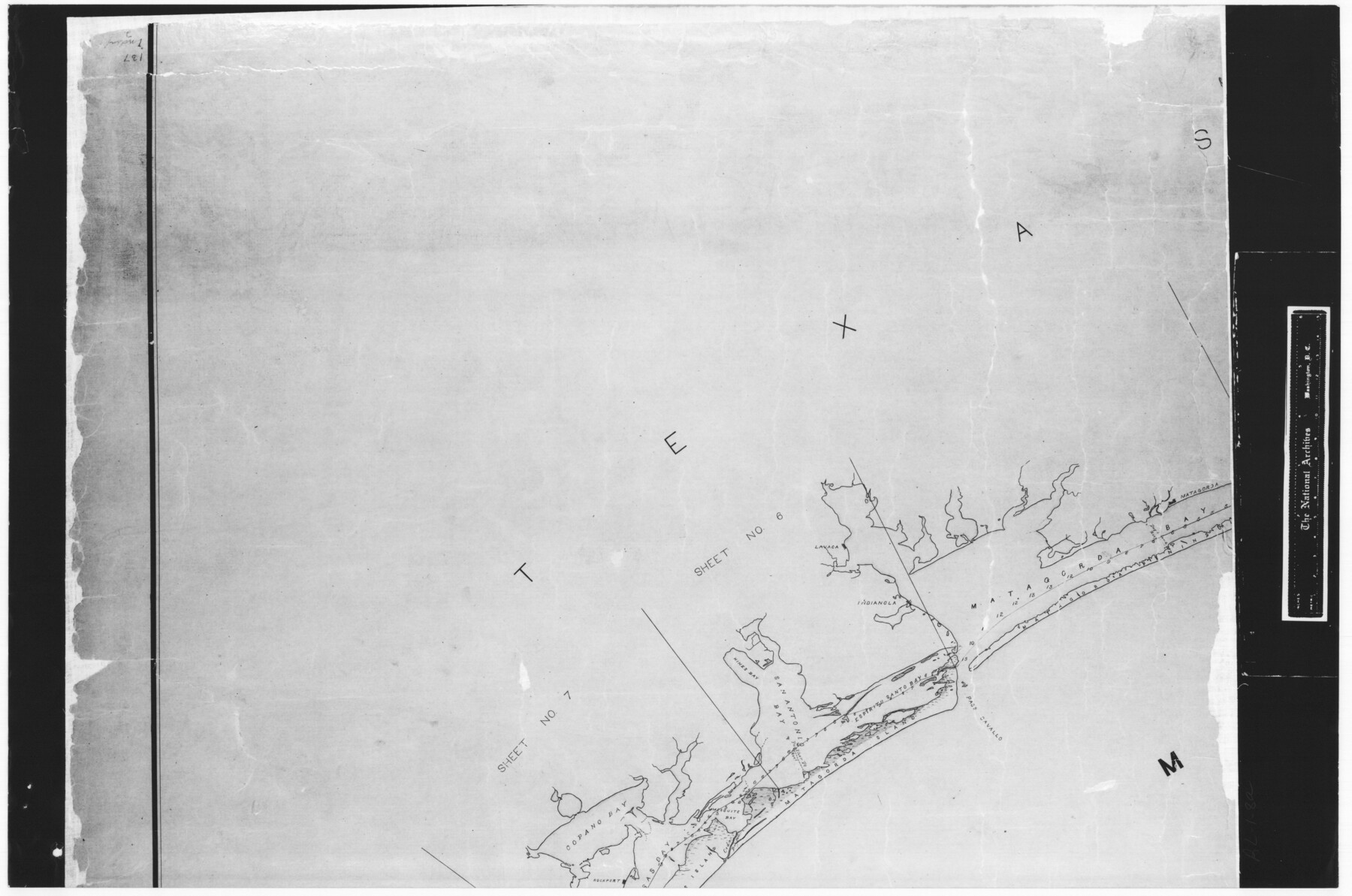
Index sheet to accompany map of survey for connecting the inland waters along margin of the Gulf of Mexico from Donaldsonville in Louisiana to the Rio Grande River in Texas
RL-1-8
-
Map/Doc
72691
-
Collection
General Map Collection
-
Subjects
Gulf of Mexico
-
Height x Width
18.2 x 27.5 inches
46.2 x 69.9 cm
-
Comments
B/W photostat copy from National Archives in multiple pieces.
Part of: General Map Collection
Lynn County Boundary File 4a

Print $6.00
- Digital $50.00
Lynn County Boundary File 4a
Size 14.3 x 8.8 inches
Map/Doc 56627
Flight Mission No. DAH-9M, Frame 86, Orange County

Print $20.00
- Digital $50.00
Flight Mission No. DAH-9M, Frame 86, Orange County
1953
Size 18.4 x 22.2 inches
Map/Doc 86850
Lipscomb County Sketch File 1

Print $40.00
- Digital $50.00
Lipscomb County Sketch File 1
Size 51.7 x 14.2 inches
Map/Doc 10525
Tom Green County Rolled Sketch 11

Print $20.00
- Digital $50.00
Tom Green County Rolled Sketch 11
Size 33.0 x 27.9 inches
Map/Doc 7998
Llano County Sketch File 10

Print $10.00
- Digital $50.00
Llano County Sketch File 10
1886
Size 8.2 x 7.6 inches
Map/Doc 30370
Travis County Working Sketch 48

Print $40.00
- Digital $50.00
Travis County Working Sketch 48
1981
Size 53.7 x 40.3 inches
Map/Doc 69432
Shackelford County Rolled Sketch 6

Print $20.00
- Digital $50.00
Shackelford County Rolled Sketch 6
1998
Size 24.1 x 35.9 inches
Map/Doc 7774
Brewster County Rolled Sketch 127

Print $20.00
- Digital $50.00
Brewster County Rolled Sketch 127
1969
Size 39.0 x 43.8 inches
Map/Doc 8521
Ward County Working Sketch 30

Print $40.00
- Digital $50.00
Ward County Working Sketch 30
1964
Size 118.5 x 43.4 inches
Map/Doc 72336
Flight Mission No. DCL-7C, Frame 46, Kenedy County

Print $20.00
- Digital $50.00
Flight Mission No. DCL-7C, Frame 46, Kenedy County
1943
Size 15.4 x 15.3 inches
Map/Doc 86034
Zapata County Sketch File 17

Print $32.00
- Digital $50.00
Zapata County Sketch File 17
1959
Size 14.4 x 8.9 inches
Map/Doc 40960
Right of Way and Track Map, the Missouri, Kansas & Texas Ry. Of Texas operated by the Missouri, Kansas & Texas Ry. Of Texas, Houston Division

Print $40.00
- Digital $50.00
Right of Way and Track Map, the Missouri, Kansas & Texas Ry. Of Texas operated by the Missouri, Kansas & Texas Ry. Of Texas, Houston Division
1918
Size 24.7 x 73.8 inches
Map/Doc 64565
You may also like
Presidio County Working Sketch Graphic Index, West Part, Sheet 2 (Sketches 75 to Most Recent)

Print $20.00
- Digital $50.00
Presidio County Working Sketch Graphic Index, West Part, Sheet 2 (Sketches 75 to Most Recent)
1974
Size 40.7 x 31.9 inches
Map/Doc 76673
Cameron County Boundary File 1

Print $14.00
- Digital $50.00
Cameron County Boundary File 1
Size 14.1 x 8.6 inches
Map/Doc 51087
Subdivision of Tract 2, Soash-White Industrial Addition, Part of Southeast Quarter, Section 2, Block E (Geo. W. Soash - J. B. White, Owners)

Print $20.00
- Digital $50.00
Subdivision of Tract 2, Soash-White Industrial Addition, Part of Southeast Quarter, Section 2, Block E (Geo. W. Soash - J. B. White, Owners)
1956
Size 22.8 x 17.6 inches
Map/Doc 92775
Wichita County Sketch File 14

Print $20.00
- Digital $50.00
Wichita County Sketch File 14
1885
Size 17.7 x 17.0 inches
Map/Doc 12678
Stephens County Sketch File 9

Print $42.00
- Digital $50.00
Stephens County Sketch File 9
Size 8.2 x 5.5 inches
Map/Doc 37029
Brown County Working Sketch 13

Print $20.00
- Digital $50.00
Brown County Working Sketch 13
1985
Size 34.1 x 30.4 inches
Map/Doc 67778
Flight Mission No. DQO-8K, Frame 20, Galveston County

Print $20.00
- Digital $50.00
Flight Mission No. DQO-8K, Frame 20, Galveston County
1952
Size 18.8 x 22.3 inches
Map/Doc 85143
Stonewall County Sketch File C

Print $20.00
- Digital $50.00
Stonewall County Sketch File C
1886
Size 13.1 x 8.2 inches
Map/Doc 37196
Fractional Township No. 7 South Range No. 21 East of the Indian Meridian, Indian Territory

Print $20.00
- Digital $50.00
Fractional Township No. 7 South Range No. 21 East of the Indian Meridian, Indian Territory
1897
Size 19.2 x 24.2 inches
Map/Doc 75237
Flight Mission No. CRC-5R, Frame 31, Chambers County

Print $20.00
- Digital $50.00
Flight Mission No. CRC-5R, Frame 31, Chambers County
1956
Size 18.5 x 22.4 inches
Map/Doc 84950
Brewster County Sketch File N-9

Print $40.00
- Digital $50.00
Brewster County Sketch File N-9
Size 17.4 x 15.7 inches
Map/Doc 10964
Schleicher County Sketch File 17

Print $20.00
- Digital $50.00
Schleicher County Sketch File 17
Size 23.4 x 17.8 inches
Map/Doc 12299