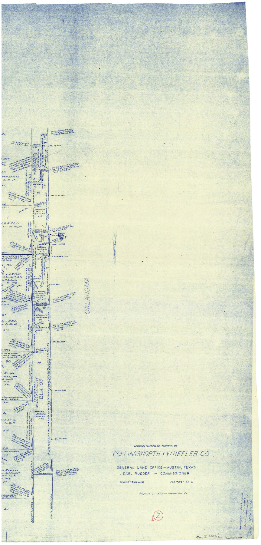
Collingsworth County Working Sketch 2
-
Map/Doc
63761
-
Collection
General Map Collection
-
Object Dates
2/14/1957 (Creation Date)
-
Counties
Collingsworth Wheeler
-
Subjects
Surveying Working Sketch
-
Height x Width
42.5 x 20.1 inches
108.0 x 51.1 cm
-
Scale
1" = 500 varas
-
Comments
Segment 2; for segment 1 see counter No. 68090 and for segment 3 see counter No. 63762.
Related maps
Collingsworth County Working Sketch 2

Print $20.00
- Digital $50.00
Collingsworth County Working Sketch 2
1957
Size 10.2 x 32.6 inches
Map/Doc 63762
Collingsworth County Working Sketch 2

Print $40.00
- Digital $50.00
Collingsworth County Working Sketch 2
1957
Size 44.2 x 122.7 inches
Map/Doc 68090
Part of: General Map Collection
Edwards County Working Sketch 119

Print $20.00
- Digital $50.00
Edwards County Working Sketch 119
1975
Size 38.8 x 38.7 inches
Map/Doc 68995
Palo Pinto County Boundary File 1

Print $4.00
- Digital $50.00
Palo Pinto County Boundary File 1
Size 12.8 x 8.4 inches
Map/Doc 57789
Starr County Working Sketch 24

Print $20.00
- Digital $50.00
Starr County Working Sketch 24
1988
Size 37.1 x 20.2 inches
Map/Doc 63940
Flight Mission No. DAG-26K, Frame 63, Matagorda County

Print $20.00
- Digital $50.00
Flight Mission No. DAG-26K, Frame 63, Matagorda County
1953
Size 18.5 x 22.2 inches
Map/Doc 86583
Blanco County Working Sketch 45

Print $20.00
- Digital $50.00
Blanco County Working Sketch 45
2007
Size 23.9 x 34.0 inches
Map/Doc 88609
[Surveys on the San Marcos River]
![149, [Surveys on the San Marcos River], General Map Collection](https://historictexasmaps.com/wmedia_w700/maps/149.tif.jpg)
Print $20.00
- Digital $50.00
[Surveys on the San Marcos River]
Size 14.1 x 12.4 inches
Map/Doc 149
Brazos River, Brazos River Sheet 7

Print $6.00
- Digital $50.00
Brazos River, Brazos River Sheet 7
1926
Size 24.1 x 30.6 inches
Map/Doc 65300
Flight Mission No. DQO-8K, Frame 87, Galveston County

Print $20.00
- Digital $50.00
Flight Mission No. DQO-8K, Frame 87, Galveston County
1952
Size 18.6 x 22.4 inches
Map/Doc 85189
A New Map of the Whole Continent of America. Divided into North and South and West Indies, wherein are exactly decribed the United States of North America as well as the Several European Possessions according to the Preliminaries of Peace…

Print $40.00
- Digital $50.00
A New Map of the Whole Continent of America. Divided into North and South and West Indies, wherein are exactly decribed the United States of North America as well as the Several European Possessions according to the Preliminaries of Peace…
Size 42.8 x 48.8 inches
Map/Doc 95137
Oldham County Sketch File 2

Print $6.00
- Digital $50.00
Oldham County Sketch File 2
1882
Size 12.7 x 8.2 inches
Map/Doc 33225
Flight Mission No. CUG-1P, Frame 42, Kleberg County

Print $20.00
- Digital $50.00
Flight Mission No. CUG-1P, Frame 42, Kleberg County
1956
Size 18.9 x 22.5 inches
Map/Doc 86120
Coryell County Sketch File 17 1/4

Print $4.00
- Digital $50.00
Coryell County Sketch File 17 1/4
Size 8.7 x 14.9 inches
Map/Doc 19377
You may also like
Red River County Working Sketch 31

Print $20.00
- Digital $50.00
Red River County Working Sketch 31
1962
Size 30.9 x 31.3 inches
Map/Doc 72014
Flight Mission No. DIX-10P, Frame 166, Aransas County

Print $20.00
- Digital $50.00
Flight Mission No. DIX-10P, Frame 166, Aransas County
1956
Size 18.5 x 22.2 inches
Map/Doc 83956
Galveston County Rolled Sketch 45B

Print $20.00
- Digital $50.00
Galveston County Rolled Sketch 45B
1995
Size 19.8 x 29.7 inches
Map/Doc 5980
Jeff Davis County Rolled Sketch 34

Print $20.00
- Digital $50.00
Jeff Davis County Rolled Sketch 34
Size 36.5 x 45.4 inches
Map/Doc 78187

Matagorda Light to Aransas Pass

Print $20.00
- Digital $50.00
Matagorda Light to Aransas Pass
1961
Size 35.9 x 44.7 inches
Map/Doc 73396
Webb County Boundary File 8

Print $113.00
- Digital $50.00
Webb County Boundary File 8
Size 14.3 x 8.8 inches
Map/Doc 59822
Official Highway Map of Texas

Print $5.00
- Digital $50.00
Official Highway Map of Texas
1926
Size 25.0 x 30.1 inches
Map/Doc 93718
West Houston: Hwy. 6 from Spencer Rd. in the North to South of Sugar Land. From Wilcrest Dr. in the East to and including Katy.

West Houston: Hwy. 6 from Spencer Rd. in the North to South of Sugar Land. From Wilcrest Dr. in the East to and including Katy.
Size 35.4 x 22.8 inches
Map/Doc 94335
Supreme Court of the United States, October Term, 1923, No. 15, Original - The State of Oklahoma, Complainant vs. The State of Texas, Defendant, The United States, Intervener; Report of the Boundary Commissioners

Print $40.00
- Digital $50.00
Supreme Court of the United States, October Term, 1923, No. 15, Original - The State of Oklahoma, Complainant vs. The State of Texas, Defendant, The United States, Intervener; Report of the Boundary Commissioners
1923
Size 57.5 x 33.4 inches
Map/Doc 77591
Tarrant County Boundary File 4 and 4a

Print $14.00
- Digital $50.00
Tarrant County Boundary File 4 and 4a
Size 11.5 x 8.9 inches
Map/Doc 59154
The Judicial District/County of Madison. Abolished, Spring 1842

Print $20.00
The Judicial District/County of Madison. Abolished, Spring 1842
2020
Size 18.2 x 21.7 inches
Map/Doc 96334