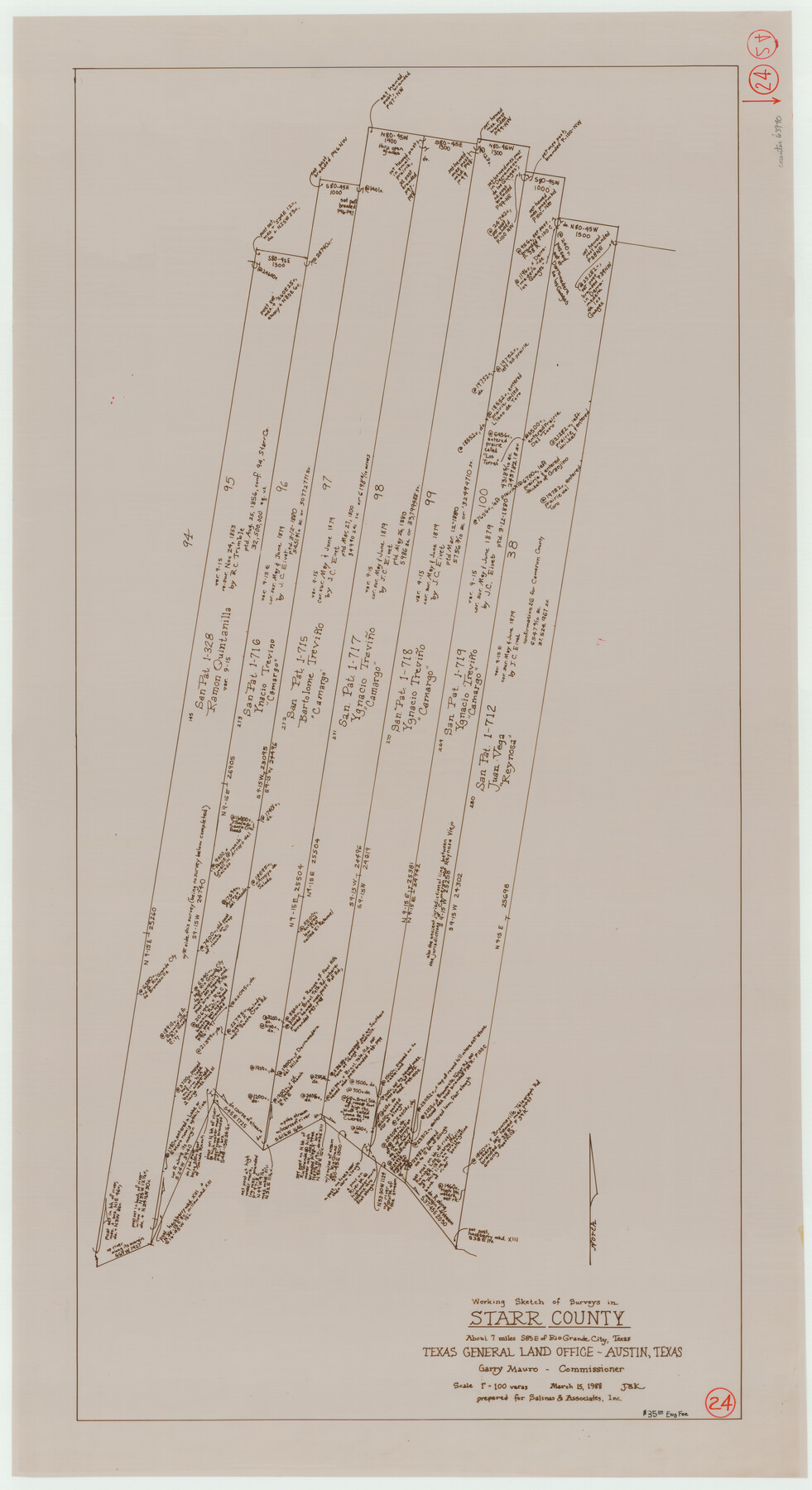
Starr County Working Sketch 24
-
Map/Doc
63940
-
Collection
General Map Collection
-
Object Dates
3/15/1988 (Creation Date)
-
People and Organizations
Joan Kilpatrick (Draftsman)
-
Counties
Starr
-
Subjects
Surveying Working Sketch
-
Height x Width
37.1 x 20.2 inches
94.2 x 51.3 cm
-
Scale
1" = 100 varas
Part of: General Map Collection
North Part of Brewster Co.

Print $20.00
- Digital $50.00
North Part of Brewster Co.
1956
Size 40.0 x 37.9 inches
Map/Doc 77220
El Paso County Sketch File 37

Print $4.00
- Digital $50.00
El Paso County Sketch File 37
1987
Size 14.4 x 9.1 inches
Map/Doc 22221
Rockwall County Boundary File 9

Print $8.00
- Digital $50.00
Rockwall County Boundary File 9
Size 15.9 x 9.0 inches
Map/Doc 58433
Current Miscellaneous File 112

Print $138.00
- Digital $50.00
Current Miscellaneous File 112
Size 11.3 x 8.7 inches
Map/Doc 74718
Clay County Sketch File 48

Print $26.00
- Digital $50.00
Clay County Sketch File 48
1919
Size 14.2 x 8.6 inches
Map/Doc 18487
Presidio County Working Sketch 117

Print $20.00
- Digital $50.00
Presidio County Working Sketch 117
1982
Size 14.7 x 15.9 inches
Map/Doc 71794
Hill County Sketch File 16

Print $4.00
- Digital $50.00
Hill County Sketch File 16
1860
Size 9.9 x 8.3 inches
Map/Doc 26482
Frio County Sketch File 12

Print $18.00
- Digital $50.00
Frio County Sketch File 12
1938
Size 14.2 x 8.7 inches
Map/Doc 23127
Cameron County Rolled Sketch 7

Print $20.00
- Digital $50.00
Cameron County Rolled Sketch 7
1926
Size 27.4 x 31.8 inches
Map/Doc 8563
Matagorda County Sketch File 30

Print $20.00
- Digital $50.00
Matagorda County Sketch File 30
1911
Size 22.2 x 31.9 inches
Map/Doc 12045
Flight Mission No. CLL-1N, Frame 113, Willacy County

Print $20.00
- Digital $50.00
Flight Mission No. CLL-1N, Frame 113, Willacy County
1954
Size 18.3 x 22.0 inches
Map/Doc 87047
Kinney County

Print $40.00
- Digital $50.00
Kinney County
1955
Size 50.5 x 47.0 inches
Map/Doc 73209
You may also like
General Highway Map, Gregg County, Texas

Print $20.00
General Highway Map, Gregg County, Texas
1961
Size 18.1 x 24.7 inches
Map/Doc 79488
Flight Mission No. BRA-16M, Frame 51, Jefferson County

Print $20.00
- Digital $50.00
Flight Mission No. BRA-16M, Frame 51, Jefferson County
1953
Size 18.6 x 22.6 inches
Map/Doc 85668
Maps of Gulf Intracoastal Waterway, Texas - Sabine River to the Rio Grande and connecting waterways including ship channels

Print $20.00
- Digital $50.00
Maps of Gulf Intracoastal Waterway, Texas - Sabine River to the Rio Grande and connecting waterways including ship channels
1966
Size 14.5 x 22.4 inches
Map/Doc 61951
[Gulf, Colorado & Santa Fe]
![64577, [Gulf, Colorado & Santa Fe], General Map Collection](https://historictexasmaps.com/wmedia_w700/maps/64577.tif.jpg)
Print $20.00
- Digital $50.00
[Gulf, Colorado & Santa Fe]
Size 32.4 x 47.4 inches
Map/Doc 64577
Lubbock County Rolled Sketch 3

Print $20.00
- Digital $50.00
Lubbock County Rolled Sketch 3
Size 25.0 x 38.7 inches
Map/Doc 9469
Wheeler County Working Sketch 16

Print $20.00
- Digital $50.00
Wheeler County Working Sketch 16
1982
Size 38.9 x 25.8 inches
Map/Doc 72505
Map Showing Jacob Kuechler's Meander of West Bank of Pecos River in December 1876

Print $20.00
- Digital $50.00
Map Showing Jacob Kuechler's Meander of West Bank of Pecos River in December 1876
Size 18.6 x 17.4 inches
Map/Doc 91669
Andrews County Working Sketch 17

Print $20.00
- Digital $50.00
Andrews County Working Sketch 17
1963
Size 30.7 x 27.1 inches
Map/Doc 67063
Pecos County Sketch File 44

Print $8.00
- Digital $50.00
Pecos County Sketch File 44
Size 13.0 x 10.4 inches
Map/Doc 33743
Coke County Sketch File 6

Print $6.00
- Digital $50.00
Coke County Sketch File 6
1860
Size 7.5 x 10.0 inches
Map/Doc 18582
Old Miscellaneous File 11

Print $4.00
- Digital $50.00
Old Miscellaneous File 11
1886
Size 11.2 x 8.8 inches
Map/Doc 75437
Pecos County Working Sketch 17

Print $20.00
- Digital $50.00
Pecos County Working Sketch 17
1915
Size 32.5 x 23.0 inches
Map/Doc 71487