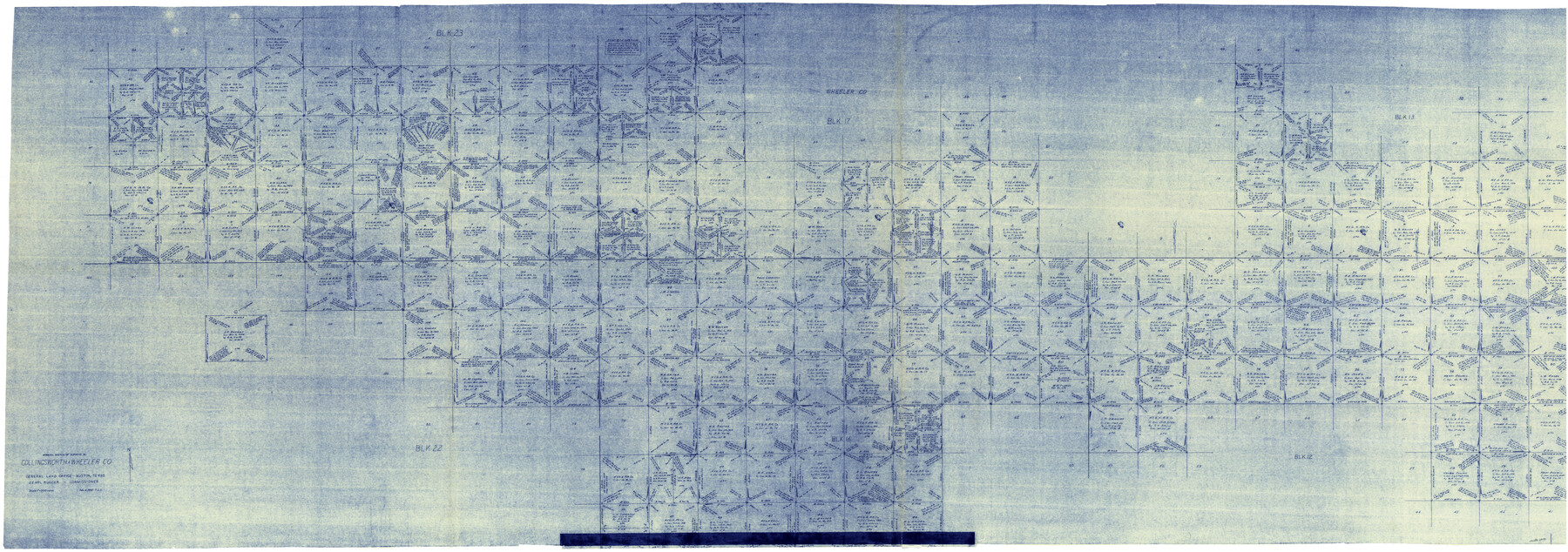
Collingsworth County Working Sketch 2
-
Map/Doc
68090
-
Collection
General Map Collection
-
Object Dates
2/14/1957 (Creation Date)
-
Counties
Collingsworth Wheeler
-
Subjects
Surveying Working Sketch
-
Height x Width
44.2 x 122.7 inches
112.3 x 311.7 cm
-
Scale
1" = 500 varas
-
Comments
Segment 1; for segment 2 see counter No. 63761 and for segment 3 see counter No. 63762.
Related maps
Collingsworth County Working Sketch 2

Print $20.00
- Digital $50.00
Collingsworth County Working Sketch 2
1957
Size 42.5 x 20.1 inches
Map/Doc 63761
Collingsworth County Working Sketch 2

Print $20.00
- Digital $50.00
Collingsworth County Working Sketch 2
1957
Size 10.2 x 32.6 inches
Map/Doc 63762
Part of: General Map Collection
Nueces County Sketch File 25

Print $14.00
- Digital $50.00
Nueces County Sketch File 25
1876
Size 8.7 x 6.3 inches
Map/Doc 32572
Upshur County Working Sketch 14

Print $20.00
- Digital $50.00
Upshur County Working Sketch 14
1993
Size 23.1 x 37.1 inches
Map/Doc 69571
Matagorda Light to Aransas Pass

Print $20.00
- Digital $50.00
Matagorda Light to Aransas Pass
1934
Size 35.3 x 44.3 inches
Map/Doc 73392
Eastland County Rolled Sketch 19

Print $20.00
- Digital $50.00
Eastland County Rolled Sketch 19
1980
Size 28.9 x 30.9 inches
Map/Doc 8825
Flight Mission No. CRK-7P, Frame 82, Refugio County

Print $20.00
- Digital $50.00
Flight Mission No. CRK-7P, Frame 82, Refugio County
1956
Size 18.3 x 22.1 inches
Map/Doc 86953
Map Showing Location of Dallas & Greenville Railway through Hunt County, Texas

Print $2.00
- Digital $50.00
Map Showing Location of Dallas & Greenville Railway through Hunt County, Texas
Size 11.9 x 8.2 inches
Map/Doc 64486
Flight Mission No. CRC-6R, Frame 12, Chambers County

Print $20.00
- Digital $50.00
Flight Mission No. CRC-6R, Frame 12, Chambers County
1956
Size 18.7 x 22.3 inches
Map/Doc 84966
Flight Mission No. DCL-4C, Frame 123, Kenedy County

Print $20.00
- Digital $50.00
Flight Mission No. DCL-4C, Frame 123, Kenedy County
1943
Size 18.6 x 22.3 inches
Map/Doc 85822
Presidio County Working Sketch 69

Print $20.00
- Digital $50.00
Presidio County Working Sketch 69
1960
Size 33.3 x 41.3 inches
Map/Doc 71746
Flight Mission No. CUG-2P, Frame 77, Kleberg County

Print $20.00
- Digital $50.00
Flight Mission No. CUG-2P, Frame 77, Kleberg County
1956
Size 18.6 x 22.3 inches
Map/Doc 86209
Pecos County Rolled Sketch 146

Print $20.00
- Digital $50.00
Pecos County Rolled Sketch 146
Size 40.8 x 32.5 inches
Map/Doc 9734
Carson County Boundary File 8a

Print $40.00
- Digital $50.00
Carson County Boundary File 8a
Size 12.5 x 34.7 inches
Map/Doc 51173
You may also like
Edwards County Working Sketch 91

Print $40.00
- Digital $50.00
Edwards County Working Sketch 91
1966
Size 34.8 x 51.1 inches
Map/Doc 68967
Bee County Working Sketch 13

Print $20.00
- Digital $50.00
Bee County Working Sketch 13
1944
Size 26.0 x 13.0 inches
Map/Doc 67263
Titus County Working Sketch 2

Print $20.00
- Digital $50.00
Titus County Working Sketch 2
Size 23.6 x 25.3 inches
Map/Doc 69363
Sutton County Working Sketch 8

Print $20.00
- Digital $50.00
Sutton County Working Sketch 8
Size 14.2 x 21.6 inches
Map/Doc 62351
Young County Rolled Sketch 7

Print $20.00
- Digital $50.00
Young County Rolled Sketch 7
Size 37.3 x 26.4 inches
Map/Doc 8295
Bandera County Working Sketch 33

Print $20.00
- Digital $50.00
Bandera County Working Sketch 33
1961
Size 22.4 x 28.8 inches
Map/Doc 67629
Ellis Addition to the City of Lubbock, Being a Subdivision of a Part of the SW/4 of SW/4 Sec. 4, Blk. A

Print $3.00
- Digital $50.00
Ellis Addition to the City of Lubbock, Being a Subdivision of a Part of the SW/4 of SW/4 Sec. 4, Blk. A
1952
Size 9.5 x 12.0 inches
Map/Doc 92710
Terrell County Working Sketch Graphic index - sheet B

Print $20.00
- Digital $50.00
Terrell County Working Sketch Graphic index - sheet B
1931
Size 47.7 x 39.6 inches
Map/Doc 76711
Starr County Rolled Sketch 42

Print $20.00
- Digital $50.00
Starr County Rolled Sketch 42
1972
Size 26.0 x 18.4 inches
Map/Doc 7835
Travis County Working Sketch 14

Print $20.00
- Digital $50.00
Travis County Working Sketch 14
1937
Size 26.3 x 27.2 inches
Map/Doc 69398
Delta County Working Sketch 2

Print $20.00
- Digital $50.00
Delta County Working Sketch 2
1963
Size 26.6 x 25.2 inches
Map/Doc 68639
Texas Land Commissioner George P. Bush's Energy Map of Texas Showing Significant Events and Well & Pipeline Locations Between 1543 and 2015

Print $20.00
- Digital $50.00
Texas Land Commissioner George P. Bush's Energy Map of Texas Showing Significant Events and Well & Pipeline Locations Between 1543 and 2015
2015
Size 33.3 x 36.3 inches
Map/Doc 93978