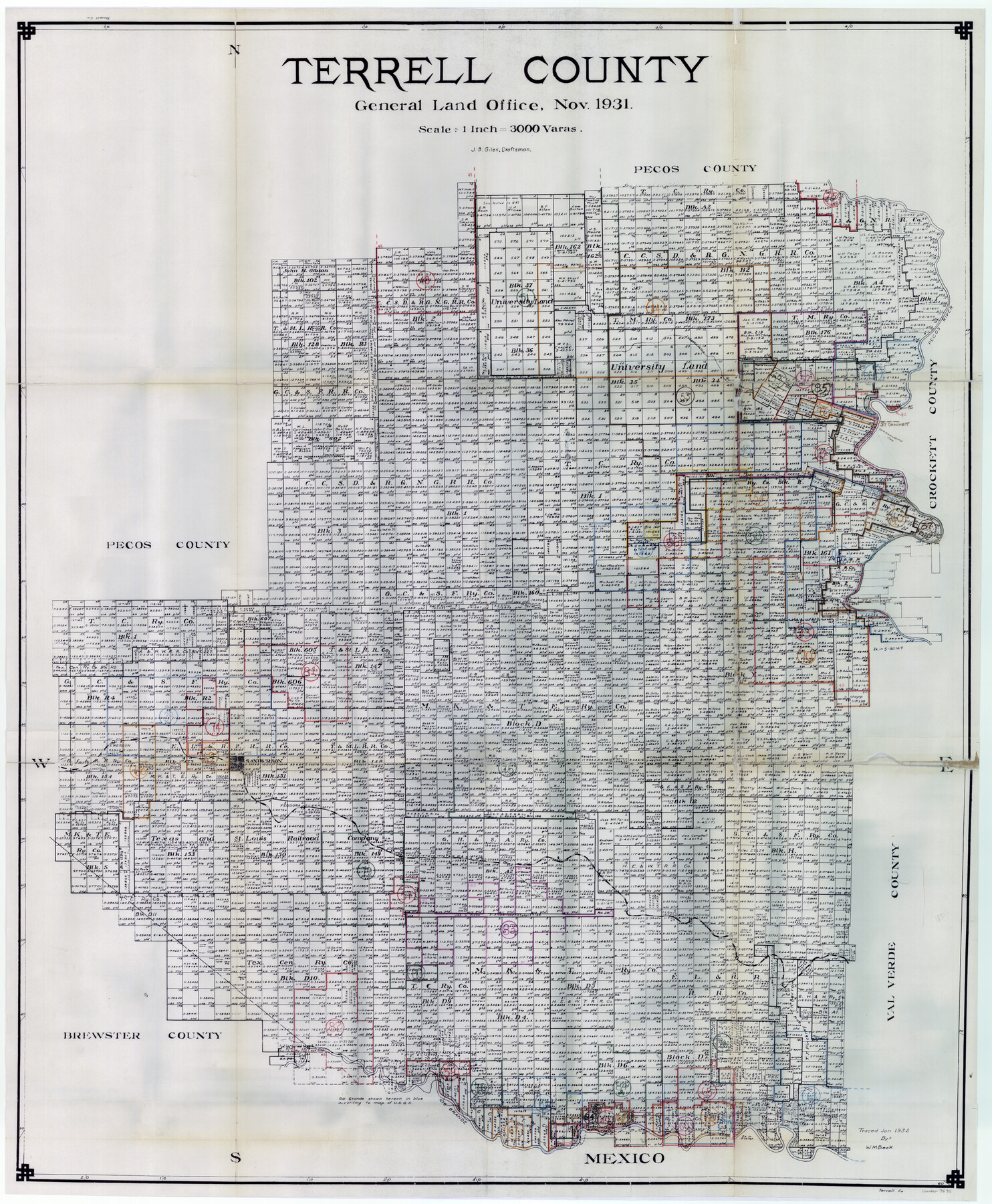
Terrell County Working Sketch Graphic index - sheet B
-
Map/Doc
76711
-
Collection
General Map Collection
-
Object Dates
11/1931 (Creation Date)
1/1932 (Tracing Date)
-
People and Organizations
J. Bascom Giles (Draftsman)
W.M. Beck (Tracer)
-
Counties
Terrell
-
Subjects
County Surveying Working Sketch
-
Height x Width
47.7 x 39.6 inches
121.2 x 100.6 cm
-
Scale
1" = 3000 varas
Part of: General Map Collection
Limestone County

Print $40.00
- Digital $50.00
Limestone County
1922
Size 50.6 x 36.2 inches
Map/Doc 73342
Garza County Working Sketch 7

Print $20.00
- Digital $50.00
Garza County Working Sketch 7
1949
Size 26.0 x 28.2 inches
Map/Doc 63154
Jefferson County Sketch File 49

Print $40.00
- Digital $50.00
Jefferson County Sketch File 49
1955
Size 51.1 x 29.0 inches
Map/Doc 10508
Denton County Working Sketch 3

Print $20.00
- Digital $50.00
Denton County Working Sketch 3
1935
Size 24.6 x 36.4 inches
Map/Doc 68608
Val Verde County Working Sketch 34

Print $20.00
- Digital $50.00
Val Verde County Working Sketch 34
1940
Size 33.7 x 27.9 inches
Map/Doc 72169
Map of Ellis County

Print $20.00
- Digital $50.00
Map of Ellis County
1857
Size 37.7 x 21.4 inches
Map/Doc 4536
Corpus Christi Bay

Print $20.00
- Digital $50.00
Corpus Christi Bay
1971
Size 36.2 x 47.6 inches
Map/Doc 73473
Anderson County Working Sketch 29

Print $20.00
- Digital $50.00
Anderson County Working Sketch 29
1962
Size 24.6 x 27.2 inches
Map/Doc 67029
Howard County Rolled Sketch 5

Print $20.00
- Digital $50.00
Howard County Rolled Sketch 5
Size 19.6 x 16.5 inches
Map/Doc 6234
Polk County Sketch File 22

Print $6.00
- Digital $50.00
Polk County Sketch File 22
1887
Size 8.9 x 7.5 inches
Map/Doc 34173
Galveston County Sketch File 55

Print $20.00
- Digital $50.00
Galveston County Sketch File 55
1839
Size 5.2 x 3.7 inches
Map/Doc 23591
Hall County Sketch File 7

Print $20.00
- Digital $50.00
Hall County Sketch File 7
1890
Size 12.0 x 22.4 inches
Map/Doc 11603
You may also like
Flight Mission No. DCL-7C, Frame 119, Kenedy County

Print $20.00
- Digital $50.00
Flight Mission No. DCL-7C, Frame 119, Kenedy County
1943
Size 18.5 x 22.3 inches
Map/Doc 86084
Culberson County Working Sketch 70

Print $40.00
- Digital $50.00
Culberson County Working Sketch 70
1975
Size 50.3 x 32.2 inches
Map/Doc 68524
Texas Panhandle East Boundary Line

Print $20.00
- Digital $50.00
Texas Panhandle East Boundary Line
1898
Size 11.6 x 35.5 inches
Map/Doc 1741
Dallas County Sketch File 24

Print $4.00
- Digital $50.00
Dallas County Sketch File 24
1860
Size 14.9 x 8.4 inches
Map/Doc 20459
P. W. Walker Seed and Grain Co. Littlefield, Texas

Print $20.00
- Digital $50.00
P. W. Walker Seed and Grain Co. Littlefield, Texas
1950
Size 36.9 x 15.8 inches
Map/Doc 92404
Flight Mission No. DAG-22K, Frame 82, Matagorda County

Print $20.00
- Digital $50.00
Flight Mission No. DAG-22K, Frame 82, Matagorda County
1953
Size 18.5 x 22.4 inches
Map/Doc 86466

Location Through GC&SFRRCo., Runnels County, Texas

Print $20.00
- Digital $50.00
Location Through GC&SFRRCo., Runnels County, Texas
1898
Size 21.5 x 32.8 inches
Map/Doc 64509
DeWitt County Working Sketch 2a

Print $20.00
- Digital $50.00
DeWitt County Working Sketch 2a
1940
Size 25.2 x 29.8 inches
Map/Doc 68592
Blanco County Sketch File 8

Print $4.00
- Digital $50.00
Blanco County Sketch File 8
Size 8.1 x 12.8 inches
Map/Doc 14584
Orange County Working Sketch 8

Print $20.00
- Digital $50.00
Orange County Working Sketch 8
1922
Size 20.7 x 24.3 inches
Map/Doc 71340
Rio Grande - North Extension Raymondville Sheet

Print $40.00
- Digital $50.00
Rio Grande - North Extension Raymondville Sheet
1937
Size 16.4 x 56.9 inches
Map/Doc 65104