
Val Verde County Rolled Sketch 40

Terrell County Rolled Sketch 14
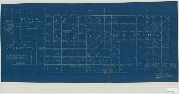
Terrell County Sketch File 24
1932
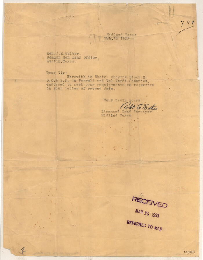
Terrell County Sketch File 24a
1932

Terrell County Sketch File 35
1957
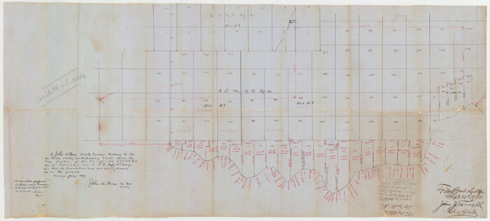
Val Verde County Sketch File D
1899

Pecos County Sketch File 53

Terrell County Rolled Sketch 30
1931
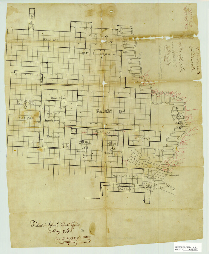
Pecos County Sketch File 13

Pecos County Sketch File 54
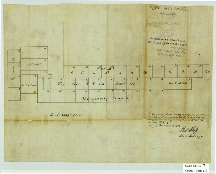
Terrell County Sketch File 7
1890
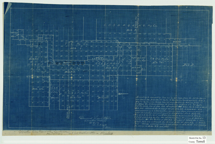
Terrell County Sketch File 13
1911

Terrell County Sketch File 15
1890
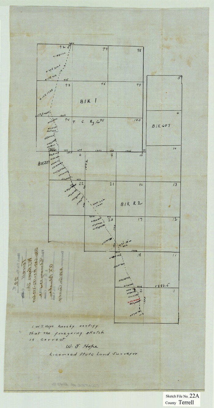
Terrell County Sketch File 22A

Terrell County Sketch File 22W
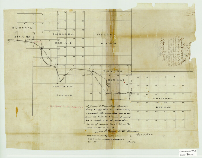
Terrell County Sketch File 25A
1890

Terrell County Sketch File 28
1939
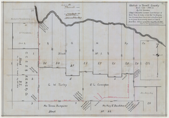
Terrell County Sketch File 31
1940

Terrell County Sketch File 33
1924

Val Verde County Sketch File XXX2
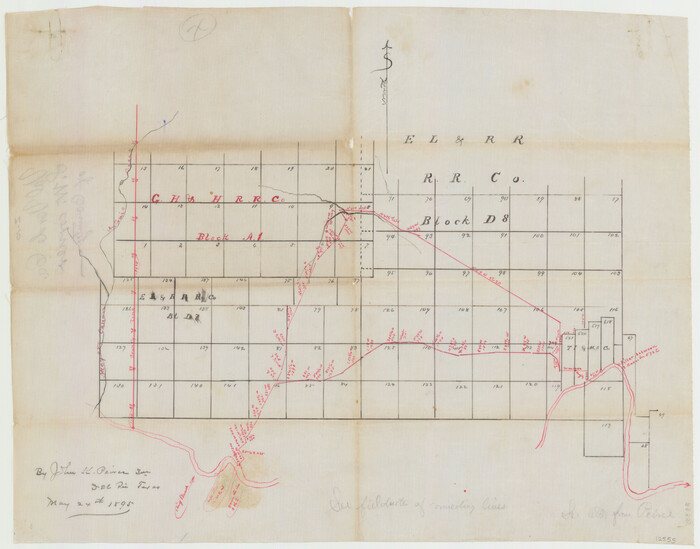
Val Verde County Sketch File Z10
1895

Val Verde County Sketch File 38
1938
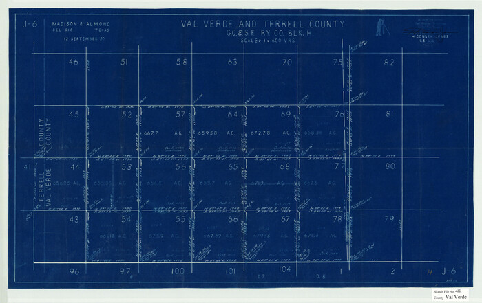
Val Verde County Sketch File 48
1950
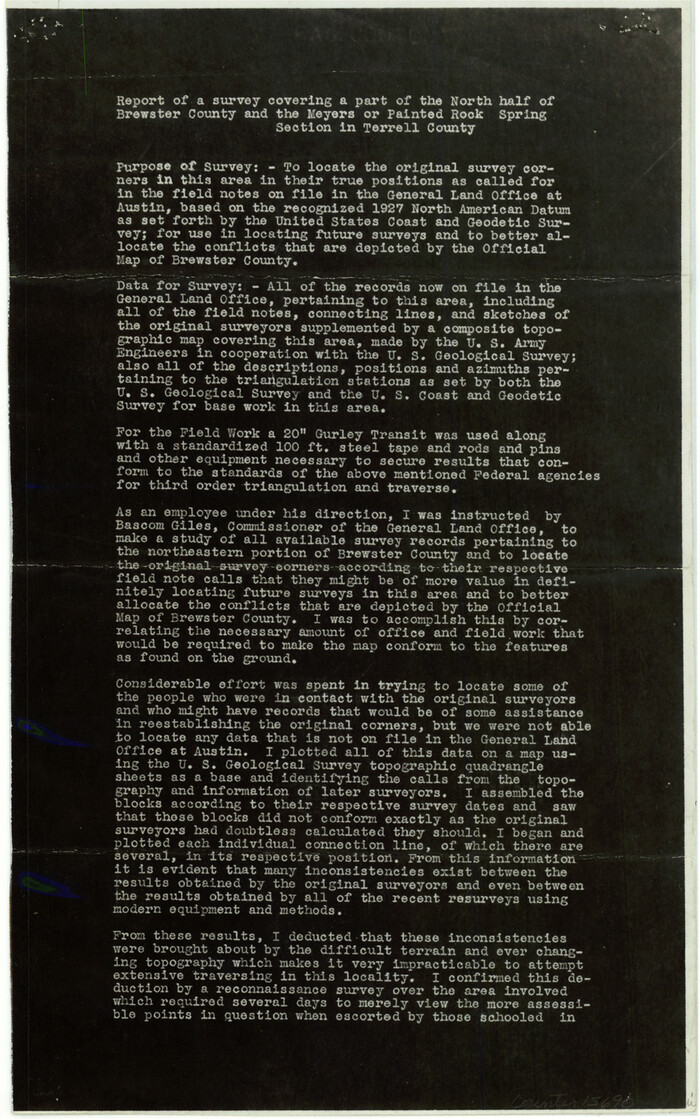
Brewster County Sketch File N-18
1942
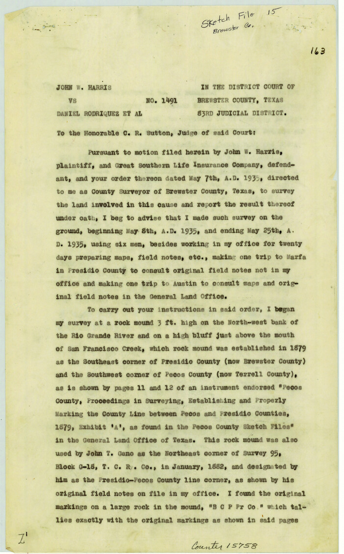
Brewster County Sketch File 15
1935

Brewster County Sketch File 16
1936
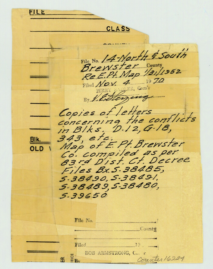
Brewster County Sketch File NS-14
1970
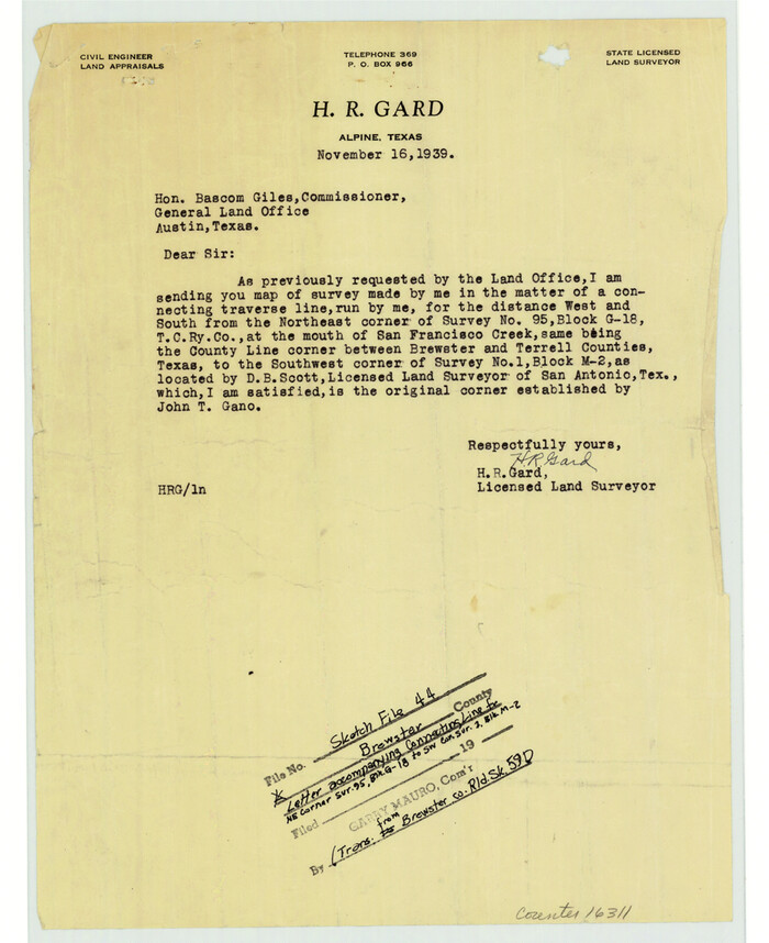
Brewster County Sketch File 44
![1720, [Sketch & Field Note Calls of Pecos, Terrell & Val Verde Counties, Texas], General Map Collection](https://historictexasmaps.com/wmedia_w700/pdf_converted_jpg/qi_pdf_thumbnail_734.jpg)
[Sketch & Field Note Calls of Pecos, Terrell & Val Verde Counties, Texas]
1915

Val Verde County Rolled Sketch 40
-
Size
39.0 x 123.5 inches
-
Map/Doc
10073

Terrell County Rolled Sketch 14
-
Size
52.6 x 16.0 inches
-
Map/Doc
10309

Terrell County Sketch File 24
1932
-
Size
22.0 x 41.8 inches
-
Map/Doc
10387
-
Creation Date
1932

Terrell County Sketch File 24a
1932
-
Size
30.4 x 42.2 inches
-
Map/Doc
10388
-
Creation Date
1932

Terrell County Sketch File 35
1957
-
Size
32.0 x 37.6 inches
-
Map/Doc
10389
-
Creation Date
1957

Val Verde County Sketch File D
1899
-
Size
29.8 x 40.0 inches
-
Map/Doc
10422
-
Creation Date
1899

Pecos County Sketch File 53
-
Size
18.0 x 38.9 inches
-
Map/Doc
10569

Terrell County Rolled Sketch 30
1931
-
Size
38.9 x 49.0 inches
-
Map/Doc
10735
-
Creation Date
1931

Pecos County Sketch File 13
-
Size
22.7 x 18.8 inches
-
Map/Doc
12156

Pecos County Sketch File 54
-
Size
14.5 x 22.4 inches
-
Map/Doc
12180
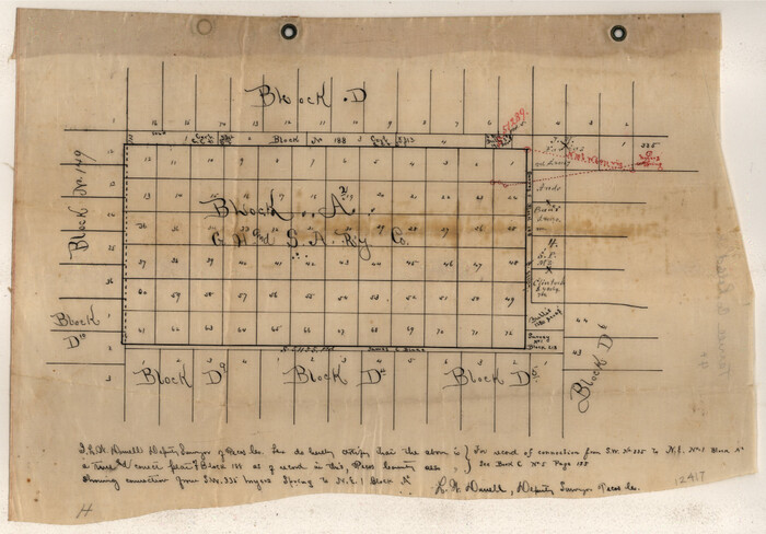
Terrell County Sketch File 4
1881
-
Map/Doc
12417
-
Creation Date
1881

Terrell County Sketch File 7
1890
-
Size
13.1 x 16.2 inches
-
Map/Doc
12418
-
Creation Date
1890

Terrell County Sketch File 13
1911
-
Size
13.7 x 20.4 inches
-
Map/Doc
12420
-
Creation Date
1911

Terrell County Sketch File 15
1890
-
Size
16.0 x 21.6 inches
-
Map/Doc
12421
-
Creation Date
1890

Terrell County Sketch File 22A
-
Size
21.7 x 11.4 inches
-
Map/Doc
12422

Terrell County Sketch File 22W
-
Size
19.6 x 21.7 inches
-
Map/Doc
12423

Terrell County Sketch File 25A
1890
-
Size
16.9 x 21.5 inches
-
Map/Doc
12424
-
Creation Date
1890

Terrell County Sketch File 28
1939
-
Size
18.3 x 22.8 inches
-
Map/Doc
12425
-
Creation Date
1939

Terrell County Sketch File 31
1940
-
Size
27.0 x 25.1 inches
-
Map/Doc
12426
-
Creation Date
1940

Terrell County Sketch File 33
1924
-
Size
18.2 x 27.6 inches
-
Map/Doc
12427
-
Creation Date
1924

Val Verde County Sketch File XXX2
-
Size
18.6 x 17.9 inches
-
Map/Doc
12548

Val Verde County Sketch File Z10
1895
-
Size
24.3 x 37.6 inches
-
Map/Doc
12555
-
Creation Date
1895

Val Verde County Sketch File 38
1938
-
Size
17.6 x 17.2 inches
-
Map/Doc
12579
-
Creation Date
1938

Val Verde County Sketch File 48
1950
-
Size
18.2 x 28.9 inches
-
Map/Doc
12589
-
Creation Date
1950

Brewster County Sketch File N-18
1942
-
Size
14.2 x 8.9 inches
-
Map/Doc
15690
-
Creation Date
1942

Brewster County Sketch File 15
1935
-
Size
14.2 x 8.8 inches
-
Map/Doc
15758
-
Creation Date
1935

Brewster County Sketch File 16
1936
-
Size
14.3 x 8.6 inches
-
Map/Doc
15777
-
Creation Date
1936

Brewster County Sketch File NS-14
1970
-
Size
8.2 x 6.5 inches
-
Map/Doc
16224
-
Creation Date
1970

Brewster County Sketch File 44
-
Size
11.5 x 9.4 inches
-
Map/Doc
16311
![1720, [Sketch & Field Note Calls of Pecos, Terrell & Val Verde Counties, Texas], General Map Collection](https://historictexasmaps.com/wmedia_w700/pdf_converted_jpg/qi_pdf_thumbnail_734.jpg)
[Sketch & Field Note Calls of Pecos, Terrell & Val Verde Counties, Texas]
1915
-
Size
19.4 x 24.2 inches
-
Map/Doc
1720
-
Creation Date
1915