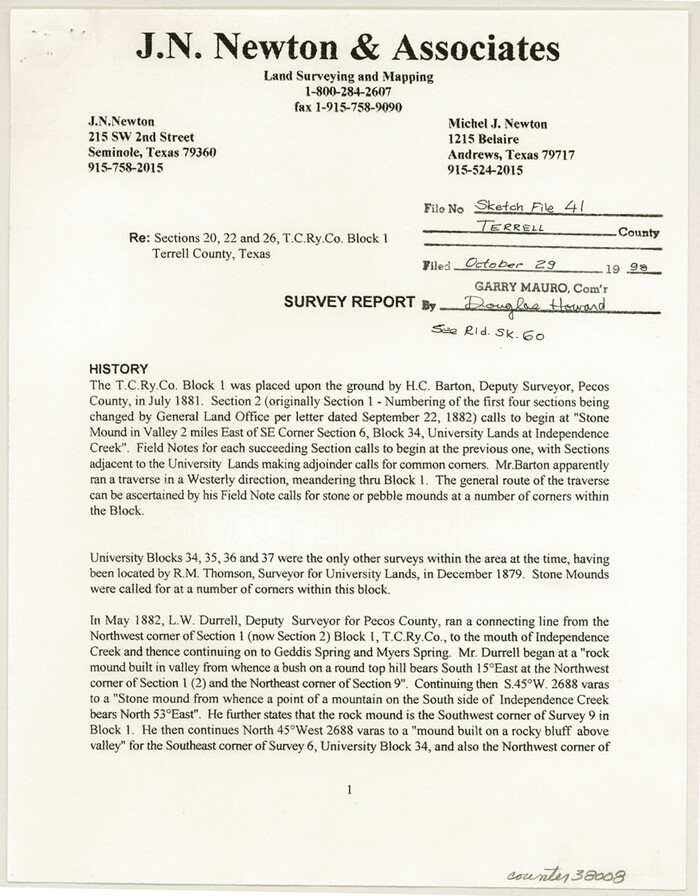
Terrell County Sketch File 41
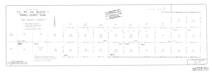
Terrell County Rolled Sketch 60
1998

Terrell County Sketch File 40
1995

Terrell County Working Sketch 85
1994

Terrell County Working Sketch 84a
1992

Terrell County Working Sketch 84b
1992

Terrell County Working Sketch 84c
1992
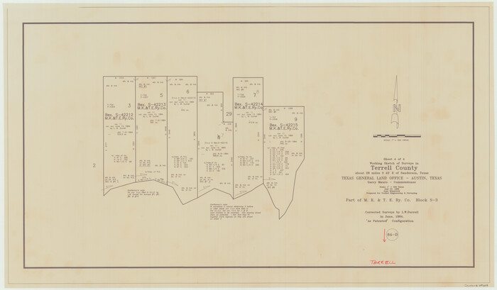
Terrell County Working Sketch 84d
1992

Terrell County Working Sketch 83
1992

Terrell County Working Sketch 82
1991
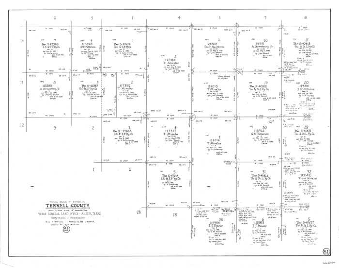
Terrell County Working Sketch 81
1988
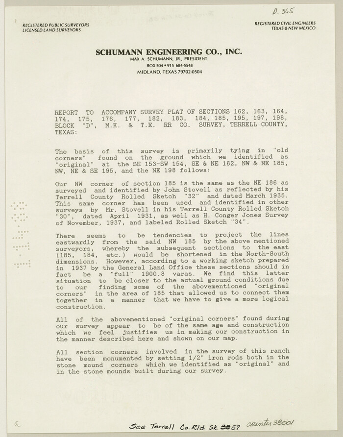
Terrell County Sketch File 38
1987
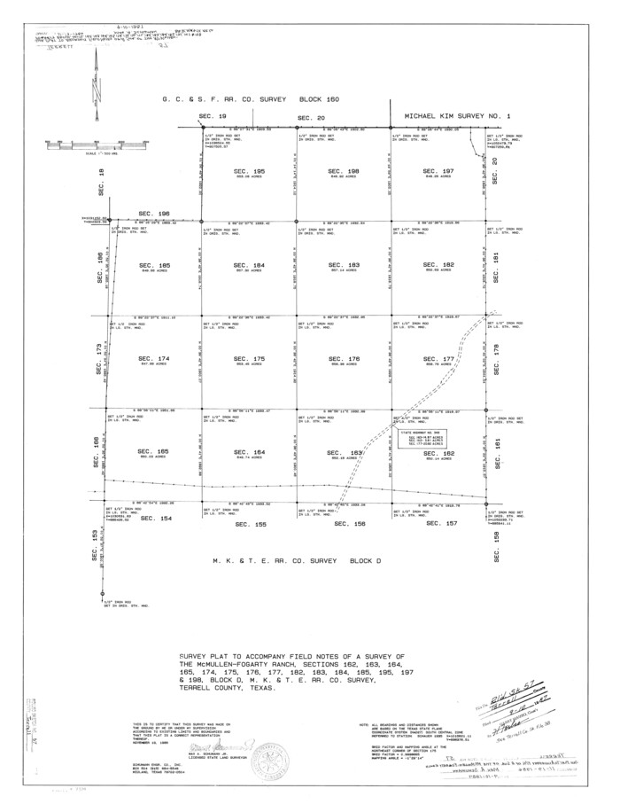
Terrell County Rolled Sketch 57
1986
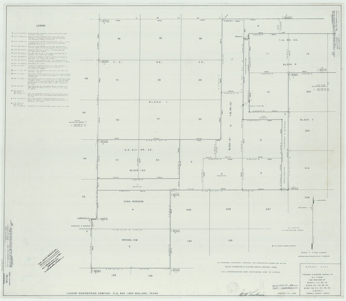
Terrell County Rolled Sketch 56
1986
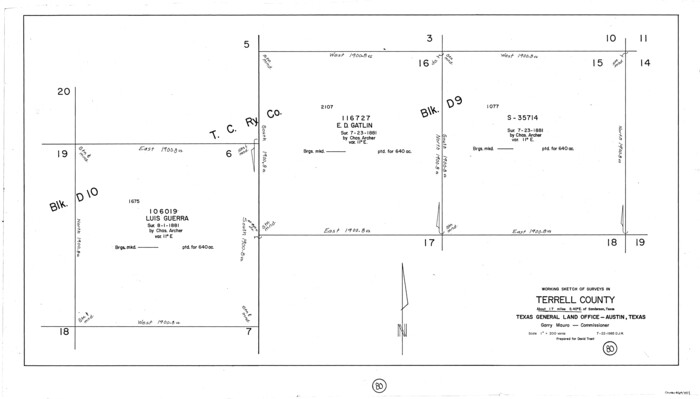
Terrell County Working Sketch 80
1985
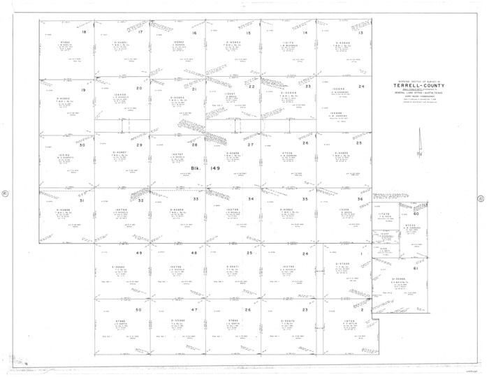
Terrell County Working Sketch 79
1983
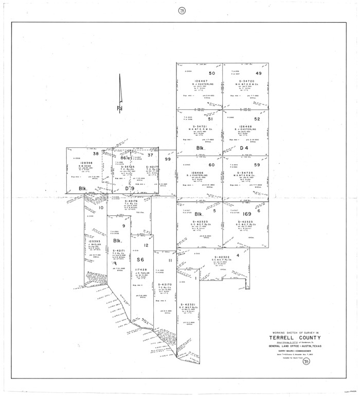
Terrell County Working Sketch 78
1983

Terrell County Working Sketch 77
1983
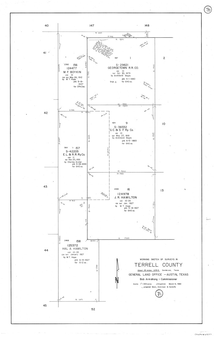
Terrell County Working Sketch 76
1982
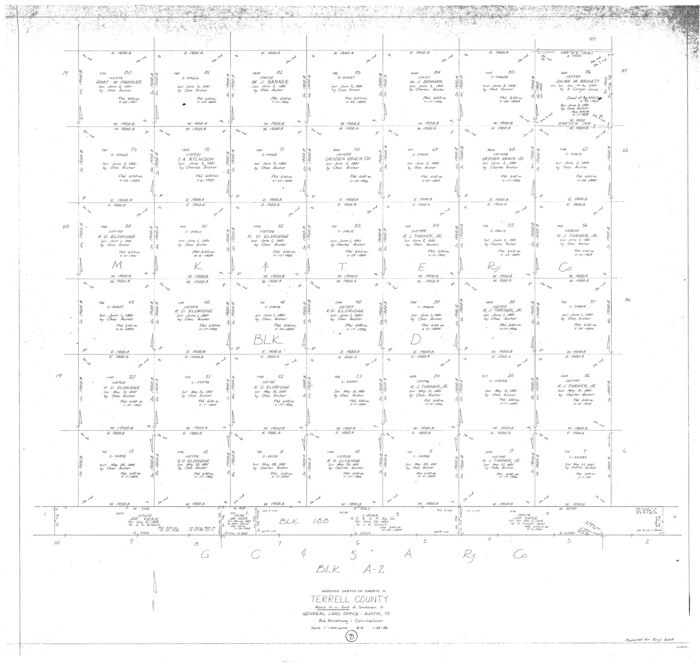
Terrell County Working Sketch 75
1982
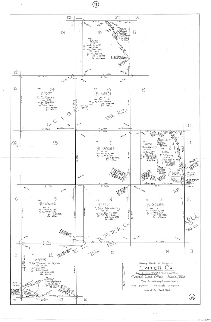
Terrell County Working Sketch 74
1981
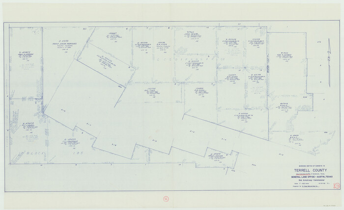
Terrell County Working Sketch 73
1980
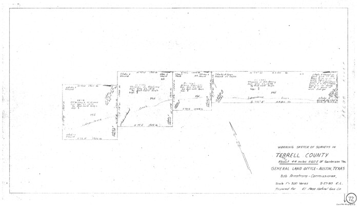
Terrell County Working Sketch 72
1980
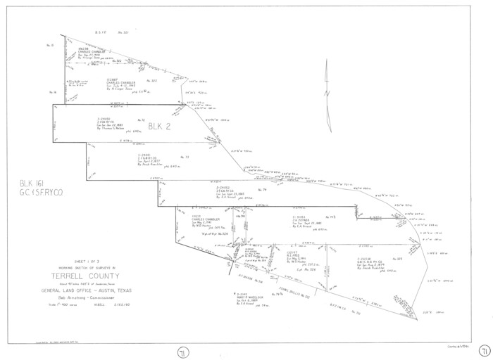
Terrell County Working Sketch 71
1980

Pecos County Working Sketch 133
1979

Terrell County Working Sketch 70
1979

Val Verde County Working Sketch 96
1979

Terrell County Working Sketch 69
1978
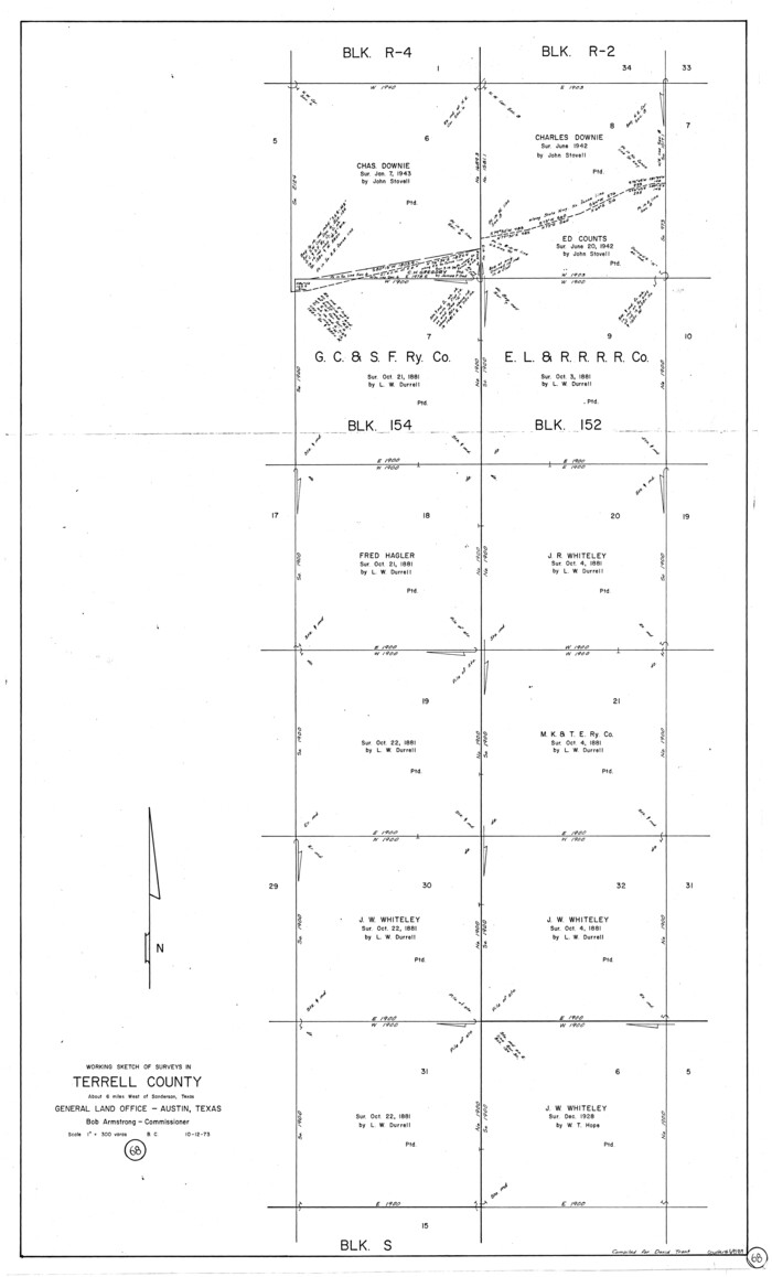
Terrell County Working Sketch 68
1973
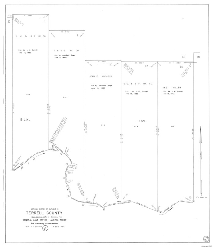
Terrell County Working Sketch 67
1973

Terrell County Sketch File 41
-
Size
11.3 x 8.8 inches
-
Map/Doc
38008

Terrell County Rolled Sketch 60
1998
-
Size
13.2 x 38.1 inches
-
Map/Doc
7976
-
Creation Date
1998

Terrell County Sketch File 40
1995
-
Size
14.2 x 8.9 inches
-
Map/Doc
38005
-
Creation Date
1995

Terrell County Working Sketch 85
1994
-
Size
31.3 x 42.8 inches
-
Map/Doc
69609
-
Creation Date
1994

Terrell County Working Sketch 84a
1992
-
Size
34.5 x 37.0 inches
-
Map/Doc
69605
-
Creation Date
1992

Terrell County Working Sketch 84b
1992
-
Size
25.2 x 42.7 inches
-
Map/Doc
69606
-
Creation Date
1992

Terrell County Working Sketch 84c
1992
-
Size
18.2 x 31.3 inches
-
Map/Doc
69607
-
Creation Date
1992

Terrell County Working Sketch 84d
1992
-
Size
18.4 x 31.5 inches
-
Map/Doc
69608
-
Creation Date
1992

Terrell County Working Sketch 83
1992
-
Size
22.0 x 35.9 inches
-
Map/Doc
69604
-
Creation Date
1992

Terrell County Working Sketch 82
1991
-
Size
31.7 x 24.8 inches
-
Map/Doc
69603
-
Creation Date
1991

Terrell County Working Sketch 81
1988
-
Size
28.4 x 36.0 inches
-
Map/Doc
69602
-
Creation Date
1988

Terrell County Sketch File 38
1987
-
Size
11.3 x 8.8 inches
-
Map/Doc
38001
-
Creation Date
1987

Terrell County Rolled Sketch 57
1986
-
Size
33.0 x 25.2 inches
-
Map/Doc
7974
-
Creation Date
1986

Terrell County Rolled Sketch 56
1986
-
Size
36.6 x 42.0 inches
-
Map/Doc
9992
-
Creation Date
1986

Terrell County Working Sketch 80
1985
-
Size
20.7 x 36.4 inches
-
Map/Doc
69601
-
Creation Date
1985

Terrell County Working Sketch 79
1983
-
Size
43.0 x 55.8 inches
-
Map/Doc
69600
-
Creation Date
1983

Terrell County Working Sketch 78
1983
-
Size
41.0 x 37.2 inches
-
Map/Doc
69599
-
Creation Date
1983

Terrell County Working Sketch 77
1983
-
Size
22.9 x 33.7 inches
-
Map/Doc
69598
-
Creation Date
1983

Terrell County Working Sketch 76
1982
-
Size
31.8 x 20.1 inches
-
Map/Doc
69597
-
Creation Date
1982

Terrell County Working Sketch 75
1982
-
Size
41.4 x 43.7 inches
-
Map/Doc
69596
-
Creation Date
1982

Terrell County Working Sketch 74
1981
-
Size
37.5 x 24.6 inches
-
Map/Doc
69595
-
Creation Date
1981

Terrell County Working Sketch 73
1980
-
Size
29.0 x 47.5 inches
-
Map/Doc
69594
-
Creation Date
1980

Terrell County Working Sketch 72
1980
-
Size
14.3 x 24.8 inches
-
Map/Doc
69593
-
Creation Date
1980

Terrell County Working Sketch 71
1980
-
Size
22.5 x 30.8 inches
-
Map/Doc
69592
-
Creation Date
1980

Pecos County Working Sketch 133
1979
-
Size
44.0 x 37.2 inches
-
Map/Doc
71607
-
Creation Date
1979

Terrell County Working Sketch 70
1979
-
Size
39.0 x 36.5 inches
-
Map/Doc
69591
-
Creation Date
1979

Val Verde County Working Sketch 96
1979
-
Size
38.9 x 36.9 inches
-
Map/Doc
72231
-
Creation Date
1979

Terrell County Working Sketch 69
1978
-
Size
28.0 x 32.7 inches
-
Map/Doc
69590
-
Creation Date
1978

Terrell County Working Sketch 68
1973
-
Size
43.7 x 26.4 inches
-
Map/Doc
69589
-
Creation Date
1973

Terrell County Working Sketch 67
1973
-
Size
32.8 x 28.2 inches
-
Map/Doc
69588
-
Creation Date
1973