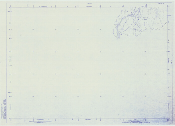
Amistad International Reservoir on Rio Grande 61
1949
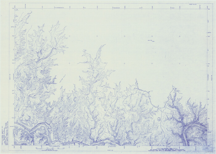
Amistad International Reservoir on Rio Grande 62
1949
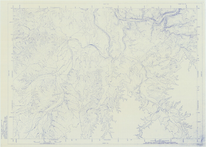
Amistad International Reservoir on Rio Grande 63
1949
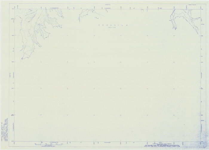
Amistad International Reservoir on Rio Grande 64
1949
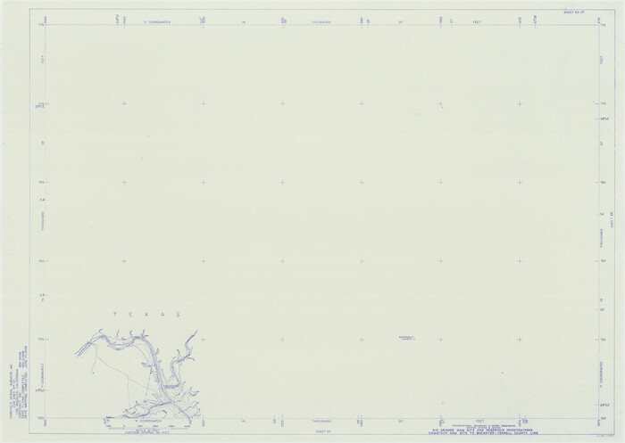
Amistad International Reservoir on Rio Grande 65
1949

Amistad International Reservoir on Rio Grande 66
1949
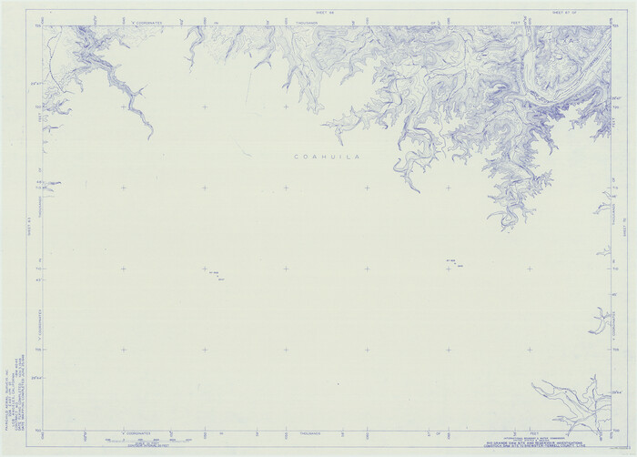
Amistad International Reservoir on Rio Grande 67
1949
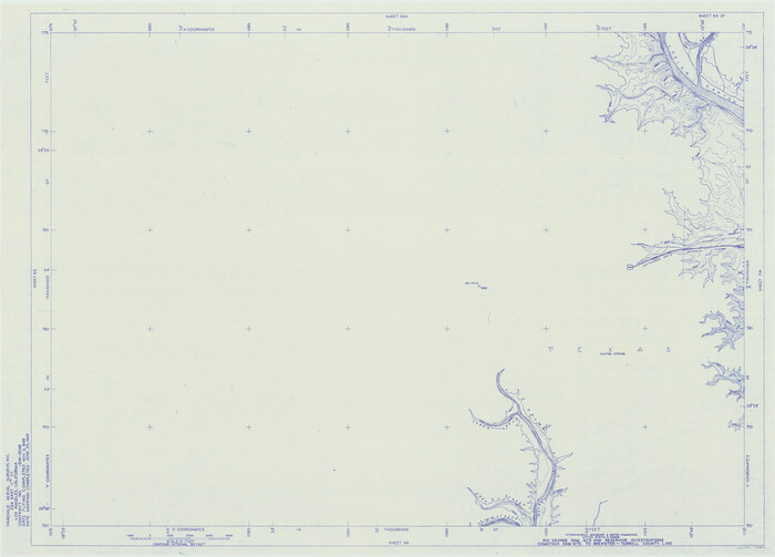
Amistad International Reservoir on Rio Grande 68
1949

Amistad International Reservoir on Rio Grande 68a
1949
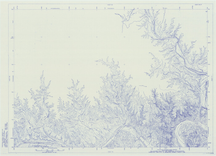
Amistad International Reservoir on Rio Grande 69
1949

Amistad International Reservoir on Rio Grande 70
1949

Amistad International Reservoir on Rio Grande 70a
1949
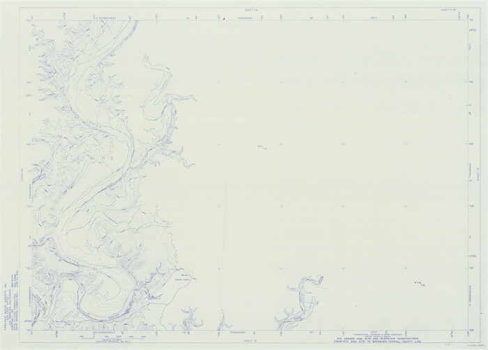
Amistad International Reservoir on Rio Grande 71
1949

Amistad International Reservoir on Rio Grande 71a
1949
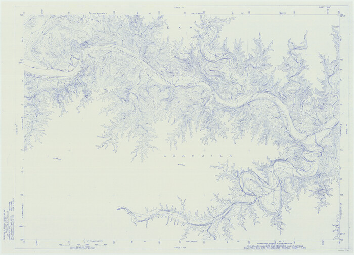
Amistad International Reservoir on Rio Grande 72
1949

Amistad International Reservoir on Rio Grande 72a
1949

Amistad International Reservoir on Rio Grande Key Sheet
1960
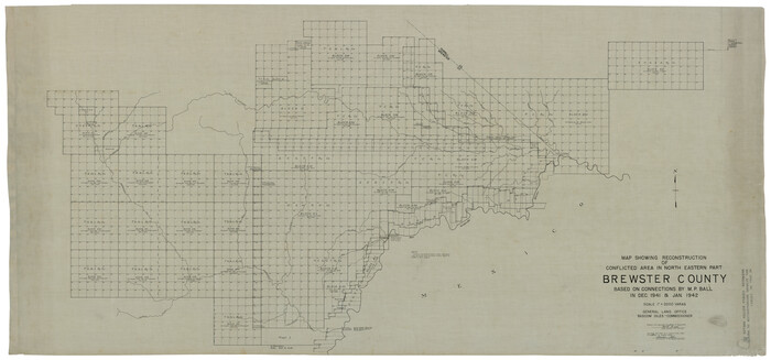
Brewster County Rolled Sketch 121
1942

Brewster County Rolled Sketch 121A
1946
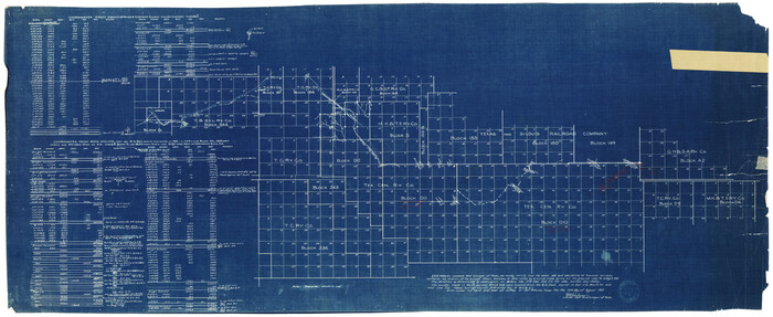
Brewster County Rolled Sketch 52
1935
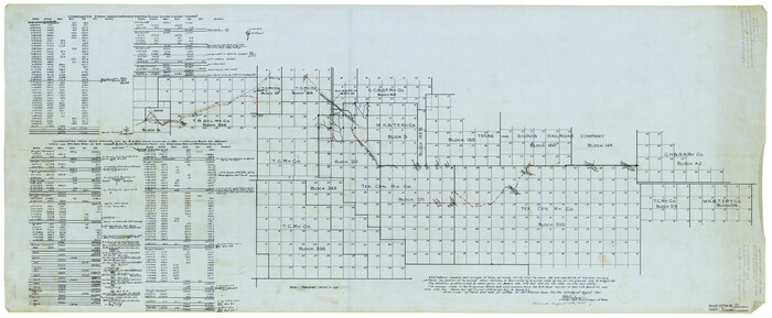
Brewster County Rolled Sketch 55
1935

Brewster County Rolled Sketch 94
1941
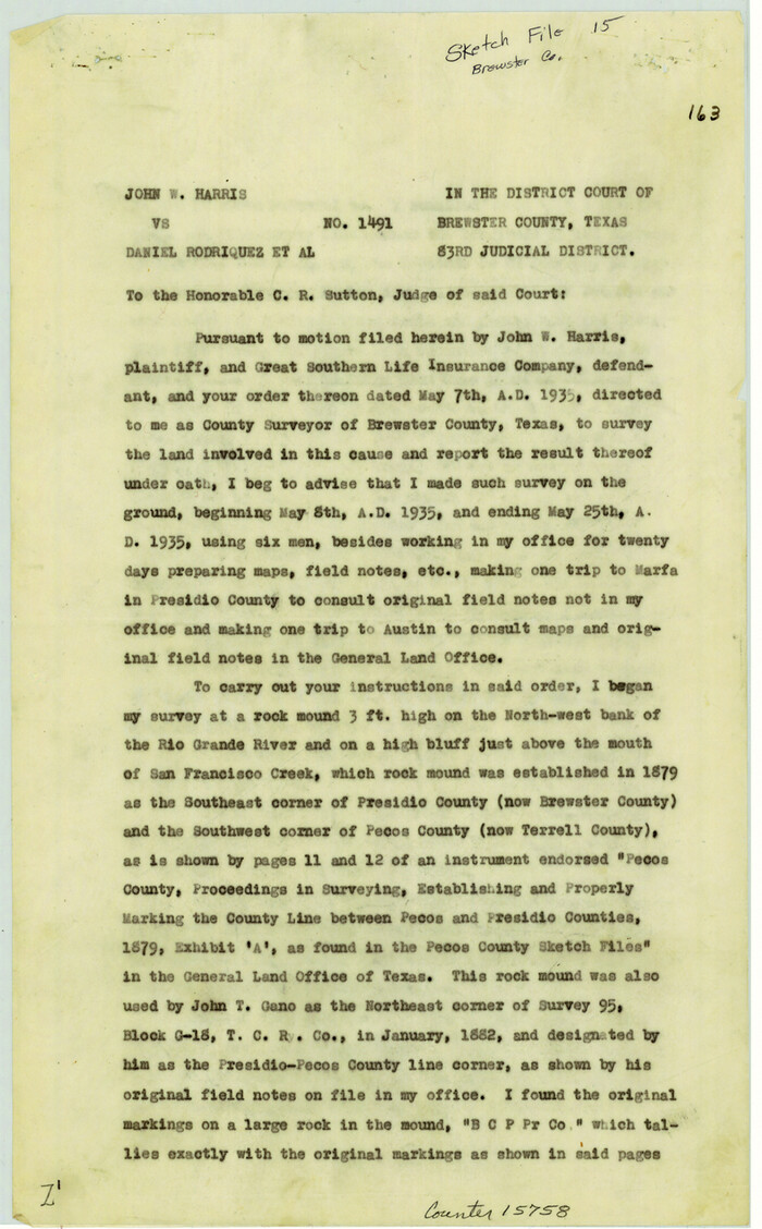
Brewster County Sketch File 15
1935

Brewster County Sketch File 16
1936
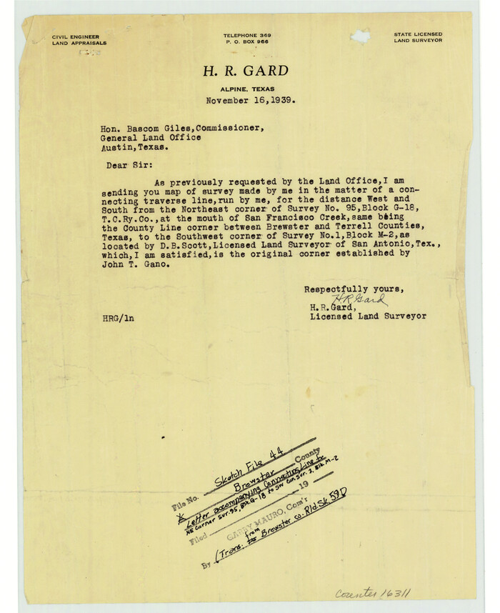
Brewster County Sketch File 44
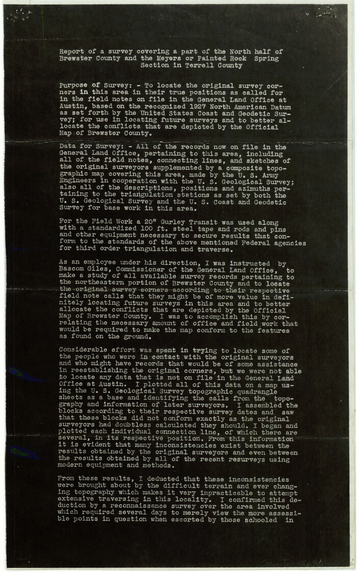
Brewster County Sketch File N-18
1942
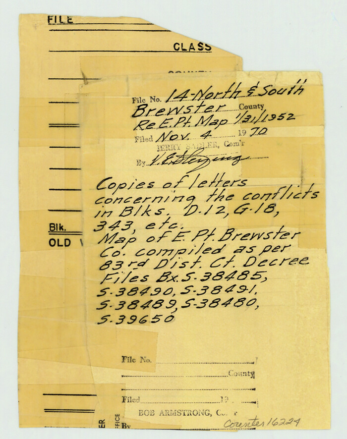
Brewster County Sketch File NS-14
1970
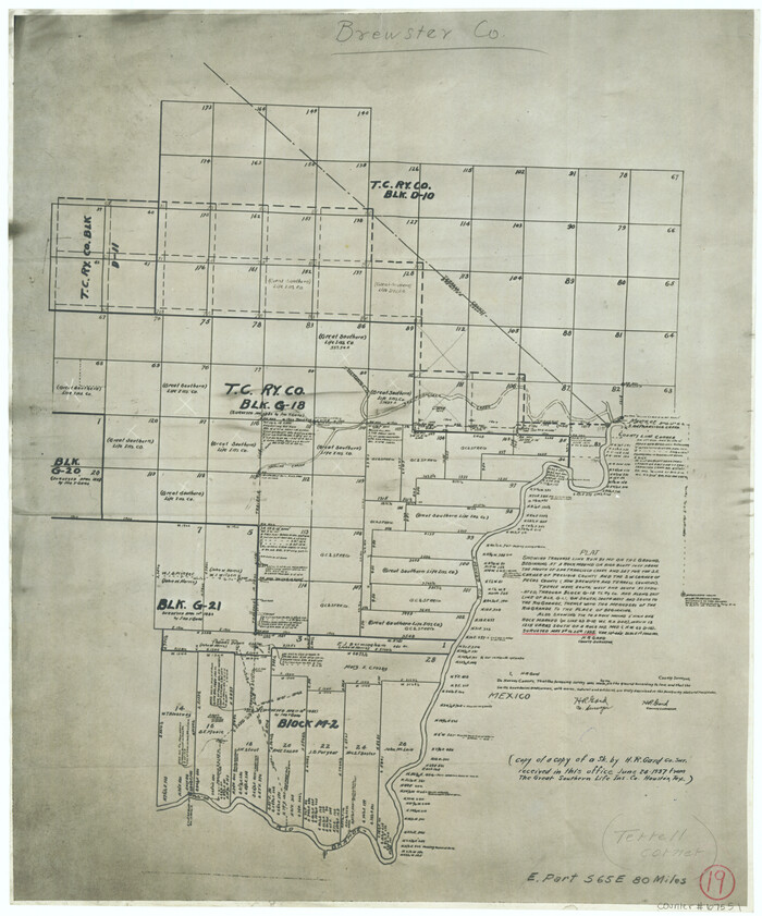
Brewster County Working Sketch 19
1935
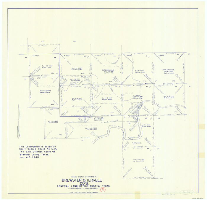
Brewster County Working Sketch 76
1968
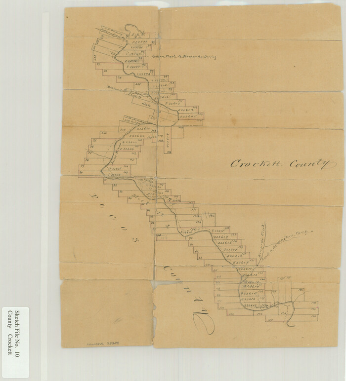
Crockett County Sketch File 10

Amistad International Reservoir on Rio Grande 61
1949
-
Size
28.4 x 39.4 inches
-
Map/Doc
73346
-
Creation Date
1949

Amistad International Reservoir on Rio Grande 62
1949
-
Size
28.2 x 39.6 inches
-
Map/Doc
73347
-
Creation Date
1949

Amistad International Reservoir on Rio Grande 63
1949
-
Size
28.2 x 39.5 inches
-
Map/Doc
73348
-
Creation Date
1949

Amistad International Reservoir on Rio Grande 64
1949
-
Size
28.4 x 39.6 inches
-
Map/Doc
73349
-
Creation Date
1949

Amistad International Reservoir on Rio Grande 65
1949
-
Size
28.2 x 39.8 inches
-
Map/Doc
73350
-
Creation Date
1949

Amistad International Reservoir on Rio Grande 66
1949
-
Size
28.5 x 39.6 inches
-
Map/Doc
73351
-
Creation Date
1949

Amistad International Reservoir on Rio Grande 67
1949
-
Size
28.3 x 39.5 inches
-
Map/Doc
73352
-
Creation Date
1949

Amistad International Reservoir on Rio Grande 68
1949
-
Size
28.4 x 39.4 inches
-
Map/Doc
73353
-
Creation Date
1949

Amistad International Reservoir on Rio Grande 68a
1949
-
Size
28.4 x 39.6 inches
-
Map/Doc
73354
-
Creation Date
1949

Amistad International Reservoir on Rio Grande 69
1949
-
Size
28.4 x 39.4 inches
-
Map/Doc
73355
-
Creation Date
1949

Amistad International Reservoir on Rio Grande 70
1949
-
Size
28.4 x 39.7 inches
-
Map/Doc
73356
-
Creation Date
1949

Amistad International Reservoir on Rio Grande 70a
1949
-
Size
28.5 x 39.5 inches
-
Map/Doc
73357
-
Creation Date
1949

Amistad International Reservoir on Rio Grande 71
1949
-
Size
28.3 x 39.5 inches
-
Map/Doc
73358
-
Creation Date
1949

Amistad International Reservoir on Rio Grande 71a
1949
-
Size
28.4 x 39.6 inches
-
Map/Doc
73359
-
Creation Date
1949

Amistad International Reservoir on Rio Grande 72
1949
-
Size
28.4 x 39.6 inches
-
Map/Doc
73360
-
Creation Date
1949

Amistad International Reservoir on Rio Grande 72a
1949
-
Size
28.3 x 39.6 inches
-
Map/Doc
73361
-
Creation Date
1949

Amistad International Reservoir on Rio Grande Key Sheet
1960
-
Size
13.0 x 32.4 inches
-
Map/Doc
73345
-
Creation Date
1960

Brewster County Rolled Sketch 121
1942
-
Size
43.3 x 92.8 inches
-
Map/Doc
93790
-
Creation Date
1942

Brewster County Rolled Sketch 121A
1946
-
Size
37.4 x 54.5 inches
-
Map/Doc
8518
-
Creation Date
1946

Brewster County Rolled Sketch 52
1935
-
Size
24.5 x 59.4 inches
-
Map/Doc
8479
-
Creation Date
1935

Brewster County Rolled Sketch 55
1935
-
Size
24.2 x 58.8 inches
-
Map/Doc
5227
-
Creation Date
1935

Brewster County Rolled Sketch 94
1941
-
Size
26.8 x 58.6 inches
-
Map/Doc
8507
-
Creation Date
1941

Brewster County Sketch File 15
1935
-
Size
14.2 x 8.8 inches
-
Map/Doc
15758
-
Creation Date
1935

Brewster County Sketch File 16
1936
-
Size
14.3 x 8.6 inches
-
Map/Doc
15777
-
Creation Date
1936

Brewster County Sketch File 44
-
Size
11.5 x 9.4 inches
-
Map/Doc
16311

Brewster County Sketch File N-18
1942
-
Size
14.2 x 8.9 inches
-
Map/Doc
15690
-
Creation Date
1942

Brewster County Sketch File NS-14
1970
-
Size
8.2 x 6.5 inches
-
Map/Doc
16224
-
Creation Date
1970

Brewster County Working Sketch 19
1935
-
Size
15.7 x 13.0 inches
-
Map/Doc
67551
-
Creation Date
1935

Brewster County Working Sketch 76
1968
-
Size
30.3 x 31.4 inches
-
Map/Doc
67676
-
Creation Date
1968

Crockett County Sketch File 10
-
Size
14.0 x 12.7 inches
-
Map/Doc
75924