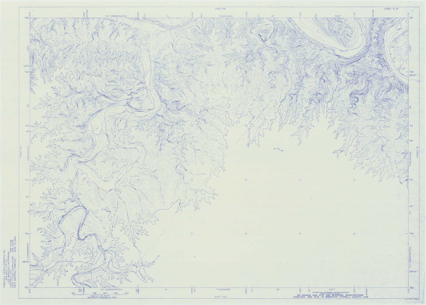
Amistad International Reservoir on Rio Grande 70
Rio Grande Dam Site and Reservoir Investigations
-
Map/Doc
73356
-
Collection
General Map Collection
-
Object Dates
1949/6/25 (Creation Date)
-
People and Organizations
International Boundary and Water Commission (Publisher)
Fairchild Aerial Surveys Inc. (Surveyor/Engineer)
-
Counties
Terrell
-
Subjects
River Surveys Texas Boundaries Topographic
-
Height x Width
28.4 x 39.7 inches
72.1 x 100.8 cm
-
Medium
blueline
-
Comments
Comstock Dam site to Brewster-Terrell County line.
Part of: General Map Collection
Kimble County Working Sketch 23

Print $20.00
- Digital $50.00
Kimble County Working Sketch 23
1930
Size 21.6 x 18.2 inches
Map/Doc 70091
Frio County Sketch File 2

Print $8.00
- Digital $50.00
Frio County Sketch File 2
Size 8.2 x 7.8 inches
Map/Doc 23104
Flight Mission No. CRC-2R, Frame 113, Chambers County

Print $20.00
- Digital $50.00
Flight Mission No. CRC-2R, Frame 113, Chambers County
1956
Size 18.5 x 22.5 inches
Map/Doc 84740
Flight Mission No. BRE-2P, Frame 98, Nueces County

Print $20.00
- Digital $50.00
Flight Mission No. BRE-2P, Frame 98, Nueces County
1956
Size 18.5 x 22.4 inches
Map/Doc 86783
Map of Nacogdoches County

Print $20.00
- Digital $50.00
Map of Nacogdoches County
1881
Size 24.0 x 21.4 inches
Map/Doc 4607
Flight Mission No. CRC-3R, Frame 50, Chambers County

Print $20.00
- Digital $50.00
Flight Mission No. CRC-3R, Frame 50, Chambers County
1956
Size 18.7 x 22.3 inches
Map/Doc 84823
Presidio County Sketch File P1

Print $4.00
- Digital $50.00
Presidio County Sketch File P1
Size 11.2 x 8.8 inches
Map/Doc 34556
Flight Mission No. BRA-16M, Frame 167, Jefferson County

Print $20.00
- Digital $50.00
Flight Mission No. BRA-16M, Frame 167, Jefferson County
1953
Size 18.5 x 22.3 inches
Map/Doc 85765
Erath County Working Sketch 50b

Print $20.00
- Digital $50.00
Erath County Working Sketch 50b
Size 43.4 x 25.8 inches
Map/Doc 69132
La Salle County Working Sketch Graphic Index

Print $40.00
- Digital $50.00
La Salle County Working Sketch Graphic Index
1923
Size 48.2 x 42.0 inches
Map/Doc 76615
[Sketch for Mineral Application 16696-16697, Pecos River]
![65612, [Sketch for Mineral Application 16696-16697, Pecos River], General Map Collection](https://historictexasmaps.com/wmedia_w700/maps/65612-1.tif.jpg)
Print $40.00
- Digital $50.00
[Sketch for Mineral Application 16696-16697, Pecos River]
Size 37.4 x 74.9 inches
Map/Doc 65612
Angelina County Sketch File 16a

Print $62.00
- Digital $50.00
Angelina County Sketch File 16a
1862
Size 6.0 x 8.3 inches
Map/Doc 13009
You may also like
Lavaca County

Print $40.00
- Digital $50.00
Lavaca County
1946
Size 52.6 x 44.1 inches
Map/Doc 95566
Harris County Rolled Sketch 41(1)

Print $13.00
- Digital $50.00
Harris County Rolled Sketch 41(1)
Size 10.0 x 15.3 inches
Map/Doc 45789
Liberty County Working Sketch 26

Print $20.00
- Digital $50.00
Liberty County Working Sketch 26
1941
Size 29.8 x 26.4 inches
Map/Doc 70485
Upton County Rolled Sketch 20

Print $40.00
- Digital $50.00
Upton County Rolled Sketch 20
1933
Size 53.0 x 36.8 inches
Map/Doc 10041
Mitchell County Boundary File 66c

Print $19.00
- Digital $50.00
Mitchell County Boundary File 66c
Size 12.7 x 8.3 inches
Map/Doc 57390
A Geographically Correct County Map of States Traversed by the St. Louis, Iron Mountain and Southern Railway and its connections

Print $20.00
- Digital $50.00
A Geographically Correct County Map of States Traversed by the St. Louis, Iron Mountain and Southern Railway and its connections
1878
Size 16.9 x 27.0 inches
Map/Doc 95785
Leon County Working Sketch 46

Print $20.00
- Digital $50.00
Leon County Working Sketch 46
1980
Size 41.5 x 27.1 inches
Map/Doc 70445
Wellman Situated on Parts of the Northeast 1/4 and Northwest 1/4 Section 17, Block DD

Print $20.00
- Digital $50.00
Wellman Situated on Parts of the Northeast 1/4 and Northwest 1/4 Section 17, Block DD
Size 22.2 x 18.9 inches
Map/Doc 92930
Duval County Sketch File 41

Print $20.00
- Digital $50.00
Duval County Sketch File 41
1936
Size 19.6 x 17.2 inches
Map/Doc 11397
Current Miscellaneous File 54

Print $24.00
- Digital $50.00
Current Miscellaneous File 54
1955
Size 11.2 x 8.7 inches
Map/Doc 74042
[W. T. Brewer: M. McDonald, Ralph Gilpin, A. Vanhooser, John Baker, John R. Taylor Surveys]
![90960, [W. T. Brewer: M. McDonald, Ralph Gilpin, A. Vanhooser, John Baker, John R. Taylor Surveys], Twichell Survey Records](https://historictexasmaps.com/wmedia_w700/maps/90960-1.tif.jpg)
Print $2.00
- Digital $50.00
[W. T. Brewer: M. McDonald, Ralph Gilpin, A. Vanhooser, John Baker, John R. Taylor Surveys]
Size 8.8 x 11.3 inches
Map/Doc 90960
Nueces County Rolled Sketch 70

Print $60.00
Nueces County Rolled Sketch 70
1980
Size 25.3 x 38.0 inches
Map/Doc 6921