[W. T. Brewer: M. McDonald, Ralph Gilpin, A. Vanhooser, John Baker, John R. Taylor Surveys]
129-13
-
Map/Doc
90960
-
Collection
Twichell Survey Records
-
Counties
Kaufman
-
Height x Width
8.8 x 11.3 inches
22.4 x 28.7 cm
Part of: Twichell Survey Records
[Spade and Ellwood Lands in Lubbock and Hale Counties]
![91072, [Spade and Ellwood Lands in Lubbock and Hale Counties], Twichell Survey Records](https://historictexasmaps.com/wmedia_w700/maps/91072-1.tif.jpg)
![91072, [Spade and Ellwood Lands in Lubbock and Hale Counties], Twichell Survey Records](https://historictexasmaps.com/wmedia_w700/maps/91072-1.tif.jpg)
Print $20.00
- Digital $50.00
[Spade and Ellwood Lands in Lubbock and Hale Counties]
Size 18.0 x 17.8 inches
Map/Doc 91072
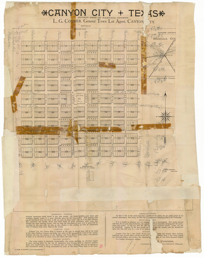
Canyon City,Texas, County Seat of Randall County

Print $20.00
- Digital $50.00
Canyon City,Texas, County Seat of Randall County
Size 20.3 x 25.1 inches
Map/Doc 92152
[Lgs. 209-212, 182, 183, 195-200 with notes]
![90159, [Lgs. 209-212, 182, 183, 195-200 with notes], Twichell Survey Records](https://historictexasmaps.com/wmedia_w700/maps/90159-1.tif.jpg)
![90159, [Lgs. 209-212, 182, 183, 195-200 with notes], Twichell Survey Records](https://historictexasmaps.com/wmedia_w700/maps/90159-1.tif.jpg)
Print $20.00
- Digital $50.00
[Lgs. 209-212, 182, 183, 195-200 with notes]
Size 18.7 x 15.6 inches
Map/Doc 90159
[Worksheets related to the Wilson Strickland survey and vicinity]
![91383, [Worksheets related to the Wilson Strickland survey and vicinity], Twichell Survey Records](https://historictexasmaps.com/wmedia_w700/maps/91383-1.tif.jpg)
![91383, [Worksheets related to the Wilson Strickland survey and vicinity], Twichell Survey Records](https://historictexasmaps.com/wmedia_w700/maps/91383-1.tif.jpg)
Print $20.00
- Digital $50.00
[Worksheets related to the Wilson Strickland survey and vicinity]
Size 36.0 x 15.7 inches
Map/Doc 91383
[South Part of Glasscock County]
![90782, [South Part of Glasscock County], Twichell Survey Records](https://historictexasmaps.com/wmedia_w700/maps/90782-1.tif.jpg)
![90782, [South Part of Glasscock County], Twichell Survey Records](https://historictexasmaps.com/wmedia_w700/maps/90782-1.tif.jpg)
Print $20.00
- Digital $50.00
[South Part of Glasscock County]
Size 34.0 x 23.2 inches
Map/Doc 90782
[SW Corner of Yoakum County]
![92443, [SW Corner of Yoakum County], Twichell Survey Records](https://historictexasmaps.com/wmedia_w700/maps/92443-1.tif.jpg)
![92443, [SW Corner of Yoakum County], Twichell Survey Records](https://historictexasmaps.com/wmedia_w700/maps/92443-1.tif.jpg)
Print $20.00
- Digital $50.00
[SW Corner of Yoakum County]
Size 24.2 x 18.5 inches
Map/Doc 92443
Anton Quadrangle


Print $20.00
- Digital $50.00
Anton Quadrangle
1957
Size 18.1 x 22.1 inches
Map/Doc 92814
[Sketch showing T. &P. R. R. Co. Blks. 32, 33, 34 Township 4N, and J. Poitevent Block I]
![89629, [Sketch showing T. &P. R. R. Co. Blks. 32, 33, 34 Township 4N, and J. Poitevent Block I], Twichell Survey Records](https://historictexasmaps.com/wmedia_w700/maps/89629-1.tif.jpg)
![89629, [Sketch showing T. &P. R. R. Co. Blks. 32, 33, 34 Township 4N, and J. Poitevent Block I], Twichell Survey Records](https://historictexasmaps.com/wmedia_w700/maps/89629-1.tif.jpg)
Print $40.00
- Digital $50.00
[Sketch showing T. &P. R. R. Co. Blks. 32, 33, 34 Township 4N, and J. Poitevent Block I]
Size 19.2 x 49.8 inches
Map/Doc 89629
Part of Garza, Crosby, Lynn, and Lubbock Counties


Print $20.00
- Digital $50.00
Part of Garza, Crosby, Lynn, and Lubbock Counties
1912
Size 25.4 x 20.4 inches
Map/Doc 91328
Working Sketch in Caldwell County


Print $20.00
- Digital $50.00
Working Sketch in Caldwell County
1922
Size 40.2 x 43.3 inches
Map/Doc 93035
South Part Brewster Co.


Print $40.00
- Digital $50.00
South Part Brewster Co.
1915
Size 50.0 x 35.2 inches
Map/Doc 89723
[East-Central Crosby County]
![90503, [East-Central Crosby County], Twichell Survey Records](https://historictexasmaps.com/wmedia_w700/maps/90503-1.tif.jpg)
![90503, [East-Central Crosby County], Twichell Survey Records](https://historictexasmaps.com/wmedia_w700/maps/90503-1.tif.jpg)
Print $2.00
- Digital $50.00
[East-Central Crosby County]
Size 11.4 x 6.0 inches
Map/Doc 90503
You may also like
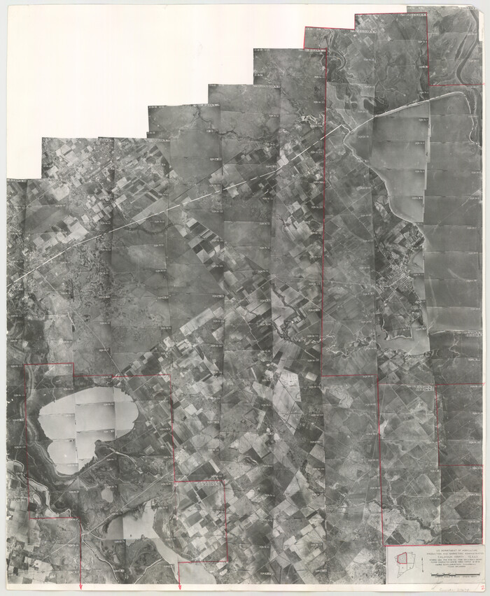
Calhoun County Aerial Photograph Index Sheet 2

Print $20.00
- Digital $50.00
Calhoun County Aerial Photograph Index Sheet 2
1953
Size 24.1 x 19.8 inches
Map/Doc 83671
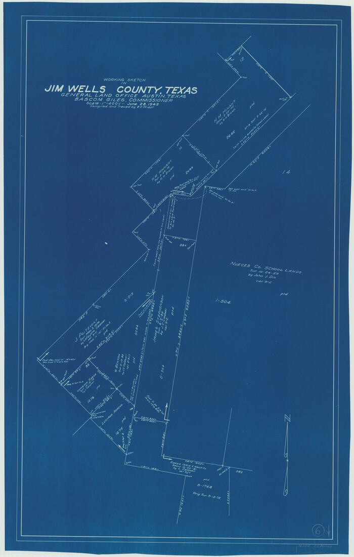
Jim Wells County Working Sketch 6

Print $20.00
- Digital $50.00
Jim Wells County Working Sketch 6
1943
Size 33.3 x 21.2 inches
Map/Doc 66604
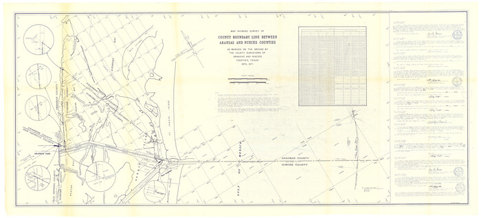
Aransas County Boundary File 8

Print $135.00
- Digital $50.00
Aransas County Boundary File 8
Size 33.6 x 74.0 inches
Map/Doc 50043
[Hockley County Sketch, Mineral Application Number 38322- 38379]
![91203, [Hockley County Sketch, Mineral Application Number 38322- 38379], Twichell Survey Records](https://historictexasmaps.com/wmedia_w700/maps/91203-1.tif.jpg)
![91203, [Hockley County Sketch, Mineral Application Number 38322- 38379], Twichell Survey Records](https://historictexasmaps.com/wmedia_w700/maps/91203-1.tif.jpg)
Print $20.00
- Digital $50.00
[Hockley County Sketch, Mineral Application Number 38322- 38379]
1946
Size 43.5 x 26.7 inches
Map/Doc 91203
[Map showing Block 35, Townships 1N-5N]
![93207, [Map showing Block 35, Townships 1N-5N], Twichell Survey Records](https://historictexasmaps.com/wmedia_w700/maps/93207-1.tif.jpg)
![93207, [Map showing Block 35, Townships 1N-5N], Twichell Survey Records](https://historictexasmaps.com/wmedia_w700/maps/93207-1.tif.jpg)
Print $40.00
- Digital $50.00
[Map showing Block 35, Townships 1N-5N]
Size 22.8 x 83.0 inches
Map/Doc 93207
Bandera County Sketch File 10
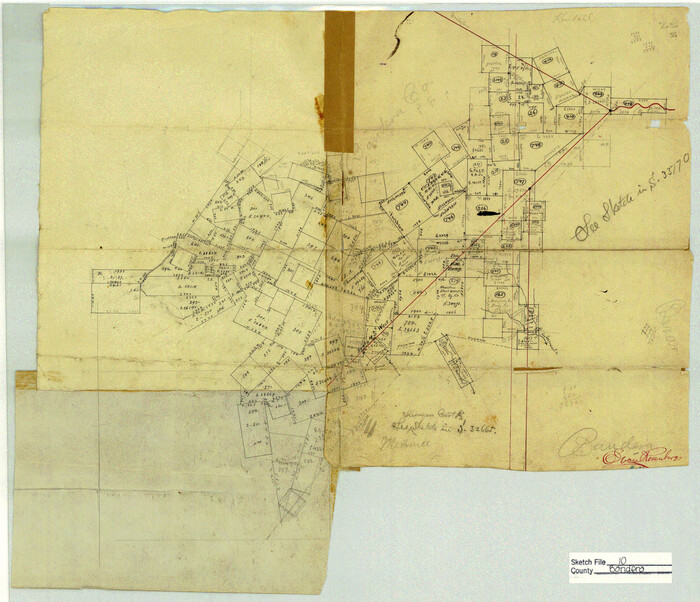

Print $40.00
- Digital $50.00
Bandera County Sketch File 10
Size 15.0 x 17.4 inches
Map/Doc 10892
Liberty County Working Sketch 7


Print $20.00
- Digital $50.00
Liberty County Working Sketch 7
1906
Size 22.2 x 24.8 inches
Map/Doc 70466
[T. & P. R. R. Co. Blk. 33, T3N]
![90131, [T. & P. R. R. Co. Blk. 33, T3N], Twichell Survey Records](https://historictexasmaps.com/wmedia_w700/maps/90131-1.tif.jpg)
![90131, [T. & P. R. R. Co. Blk. 33, T3N], Twichell Survey Records](https://historictexasmaps.com/wmedia_w700/maps/90131-1.tif.jpg)
Print $2.00
- Digital $50.00
[T. & P. R. R. Co. Blk. 33, T3N]
Size 8.7 x 11.6 inches
Map/Doc 90131
Hamilton County Working Sketch 15
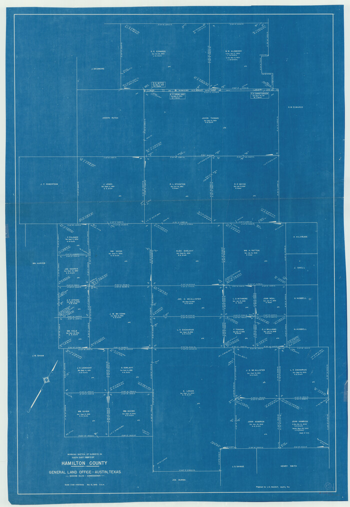

Print $40.00
- Digital $50.00
Hamilton County Working Sketch 15
1949
Size 54.5 x 37.6 inches
Map/Doc 63353
Edwards County Boundary File 27
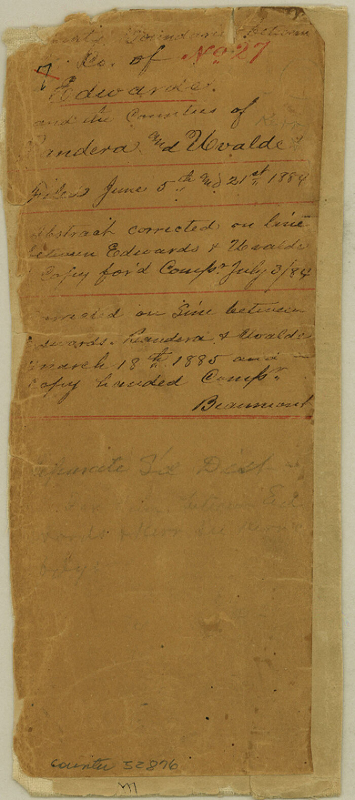

Print $8.00
- Digital $50.00
Edwards County Boundary File 27
Size 8.8 x 3.9 inches
Map/Doc 52876
Refugio County NRC Article 33.136 Sketch 2


Print $26.00
- Digital $50.00
Refugio County NRC Article 33.136 Sketch 2
2003
Size 24.5 x 36.5 inches
Map/Doc 78536
Matagorda County Sketch File 12
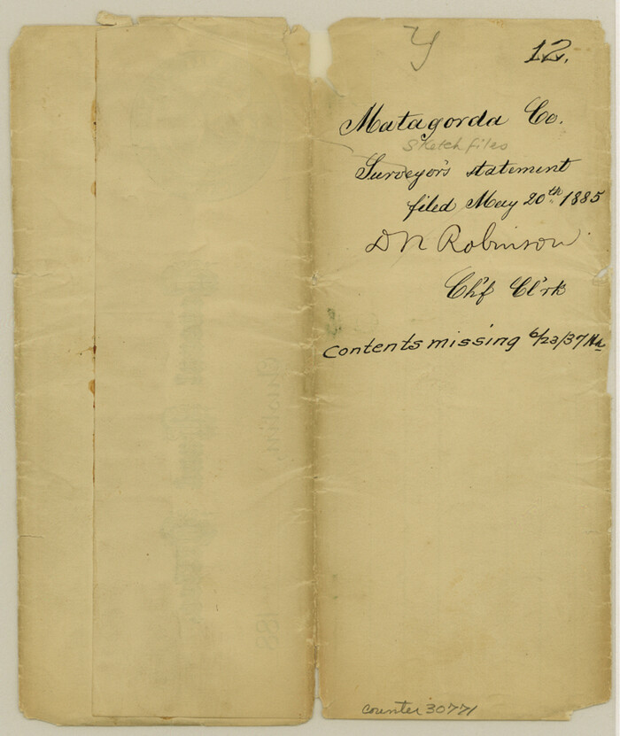

Print $2.00
- Digital $50.00
Matagorda County Sketch File 12
Size 8.4 x 7.0 inches
Map/Doc 30771
![90960, [W. T. Brewer: M. McDonald, Ralph Gilpin, A. Vanhooser, John Baker, John R. Taylor Surveys], Twichell Survey Records](https://historictexasmaps.com/wmedia_w1800h1800/maps/90960-1.tif.jpg)