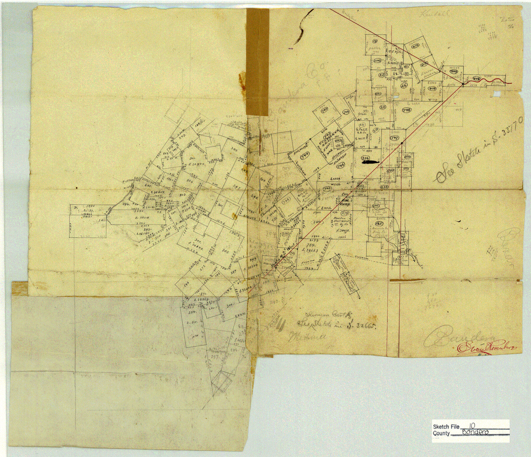
Bandera County Sketch File 10
[Sketch of surveys in southeast part of county]
-
Map/Doc
10892
-
Collection
General Map Collection
-
People and Organizations
E. von Rosenberg (Draftsman)
-
Counties
Bandera Kendall Bexar Medina
-
Subjects
Surveying Sketch File
-
Height x Width
15.0 x 17.4 inches
38.1 x 44.2 cm
-
Medium
paper, manuscript
Part of: General Map Collection
Wichita County

Print $20.00
- Digital $50.00
Wichita County
1881
Size 18.5 x 19.8 inches
Map/Doc 4143
Lipscomb County Working Sketch 4

Print $40.00
- Digital $50.00
Lipscomb County Working Sketch 4
1974
Size 51.7 x 43.8 inches
Map/Doc 70580
Zavala County

Print $40.00
- Digital $50.00
Zavala County
1977
Size 43.9 x 49.2 inches
Map/Doc 73334
Railroad Track Map, T&PRRCo., Culberson County, Texas

Print $4.00
- Digital $50.00
Railroad Track Map, T&PRRCo., Culberson County, Texas
1910
Size 11.8 x 18.6 inches
Map/Doc 62828
Crockett County Sketch File 78

Print $20.00
- Digital $50.00
Crockett County Sketch File 78
1931
Size 29.4 x 19.1 inches
Map/Doc 11235
Panola County Working Sketch 7

Print $20.00
- Digital $50.00
Panola County Working Sketch 7
1942
Map/Doc 71416
Cass County Working Sketch 19

Print $20.00
- Digital $50.00
Cass County Working Sketch 19
1959
Size 27.2 x 29.3 inches
Map/Doc 67922
Flight Mission No. CUG-2P, Frame 7, Kleberg County

Print $20.00
- Digital $50.00
Flight Mission No. CUG-2P, Frame 7, Kleberg County
1956
Size 18.5 x 22.3 inches
Map/Doc 86179

Gaines County Sketch File 22

Print $20.00
- Digital $50.00
Gaines County Sketch File 22
1962
Size 18.1 x 23.4 inches
Map/Doc 11528
Frio County Rolled Sketch 10

Print $20.00
- Digital $50.00
Frio County Rolled Sketch 10
1945
Size 34.0 x 35.7 inches
Map/Doc 8902
Nacogdoches County Rolled Sketch 2

Print $20.00
- Digital $50.00
Nacogdoches County Rolled Sketch 2
1949
Size 44.3 x 42.3 inches
Map/Doc 46837
You may also like
[Location St. L. & S. W. R. R. Through Cherokee County]
![64042, [Location St. L. & S. W. R. R. Through Cherokee County], General Map Collection](https://historictexasmaps.com/wmedia_w700/maps/64042-1.tif.jpg)
Print $40.00
- Digital $50.00
[Location St. L. & S. W. R. R. Through Cherokee County]
Size 92.0 x 39.9 inches
Map/Doc 64042
Andrews County Working Sketch Graphic Index

Print $40.00
- Digital $50.00
Andrews County Working Sketch Graphic Index
1951
Size 41.3 x 53.7 inches
Map/Doc 76453
Yellowhouse Addition to Littlefield, Texas Located on Labors 12 & 13 Capitol League 664

Print $20.00
- Digital $50.00
Yellowhouse Addition to Littlefield, Texas Located on Labors 12 & 13 Capitol League 664
1925
Size 26.9 x 26.7 inches
Map/Doc 92402
Flight Mission No. BQR-12K, Frame 48, Brazoria County

Print $20.00
- Digital $50.00
Flight Mission No. BQR-12K, Frame 48, Brazoria County
1952
Size 19.0 x 22.7 inches
Map/Doc 84063
Stonewall County Working Sketch 10

Print $20.00
- Digital $50.00
Stonewall County Working Sketch 10
1950
Size 16.8 x 22.8 inches
Map/Doc 62317
San Saba County Working Sketch 9

Print $20.00
- Digital $50.00
San Saba County Working Sketch 9
1983
Size 33.8 x 42.8 inches
Map/Doc 63797
Nolan County Boundary File 1a

Print $22.00
- Digital $50.00
Nolan County Boundary File 1a
Size 8.9 x 8.2 inches
Map/Doc 57647
Upton County Working Sketch Graphic Index, Sheet 2 (Sketches 40 to Most Recent)

Print $40.00
- Digital $50.00
Upton County Working Sketch Graphic Index, Sheet 2 (Sketches 40 to Most Recent)
1969
Size 49.7 x 36.8 inches
Map/Doc 76722
[Galveston, Harrisburg & San Antonio through El Paso County]
![64011, [Galveston, Harrisburg & San Antonio through El Paso County], General Map Collection](https://historictexasmaps.com/wmedia_w700/maps/64011.tif.jpg)
Print $20.00
- Digital $50.00
[Galveston, Harrisburg & San Antonio through El Paso County]
1906
Size 13.3 x 33.8 inches
Map/Doc 64011
Liberty County Rolled Sketch JP

Print $40.00
- Digital $50.00
Liberty County Rolled Sketch JP
Size 43.6 x 70.1 inches
Map/Doc 9566
Howard County Sketch File 8

Print $3.00
- Digital $50.00
Howard County Sketch File 8
Size 20.8 x 18.7 inches
Map/Doc 11796
University of Texas System University Lands

Print $20.00
- Digital $50.00
University of Texas System University Lands
1937
Size 23.3 x 17.6 inches
Map/Doc 93237