[East-Central Crosby County]
54-58
-
Map/Doc
90503
-
Collection
Twichell Survey Records
-
Counties
Crosby
-
Height x Width
11.4 x 6.0 inches
29.0 x 15.2 cm
Part of: Twichell Survey Records
[T. & P. Block 36, Townships 3N - 5N]
![90552, [T. & P. Block 36, Townships 3N - 5N], Twichell Survey Records](https://historictexasmaps.com/wmedia_w700/maps/90552.tif.jpg)
![90552, [T. & P. Block 36, Townships 3N - 5N], Twichell Survey Records](https://historictexasmaps.com/wmedia_w700/maps/90552.tif.jpg)
Print $20.00
- Digital $50.00
[T. & P. Block 36, Townships 3N - 5N]
Size 15.5 x 47.8 inches
Map/Doc 90552
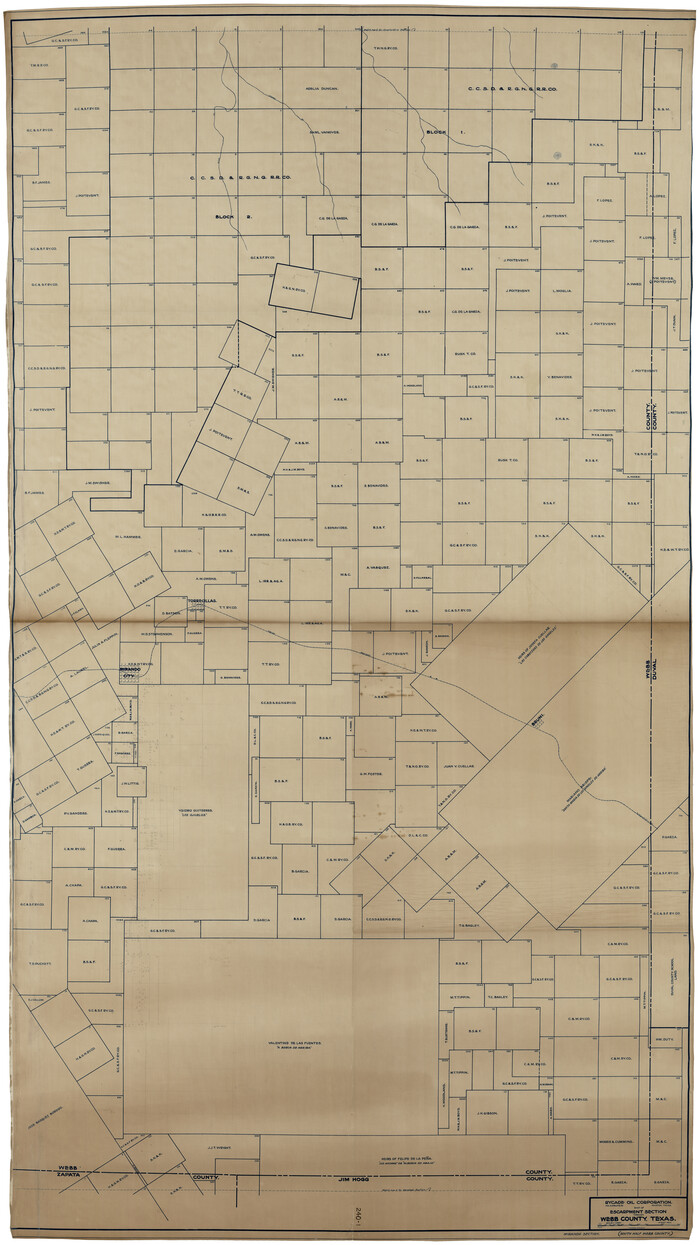
Map of Escarpment Section through Webb County, Texas (South half of Webb County)

Print $40.00
- Digital $50.00
Map of Escarpment Section through Webb County, Texas (South half of Webb County)
1925
Size 43.3 x 76.2 inches
Map/Doc 93163
Brazos River Conservation and Reclamation District Official Boundary Line Survey


Print $20.00
- Digital $50.00
Brazos River Conservation and Reclamation District Official Boundary Line Survey
Size 37.2 x 24.7 inches
Map/Doc 90183
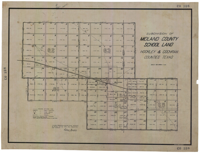
Subdivision of Midland County School Land, Hockley and Cochran Counties, Texas

Print $20.00
- Digital $50.00
Subdivision of Midland County School Land, Hockley and Cochran Counties, Texas
Size 30.5 x 23.3 inches
Map/Doc 92517
University of Texas System University Lands


Print $20.00
- Digital $50.00
University of Texas System University Lands
1929
Size 23.2 x 17.7 inches
Map/Doc 93246
[Capitol Leagues 217-228, 238, and vicinity]
![90693, [Capitol Leagues 217-228, 238, and vicinity], Twichell Survey Records](https://historictexasmaps.com/wmedia_w700/maps/90693-1.tif.jpg)
![90693, [Capitol Leagues 217-228, 238, and vicinity], Twichell Survey Records](https://historictexasmaps.com/wmedia_w700/maps/90693-1.tif.jpg)
Print $20.00
- Digital $50.00
[Capitol Leagues 217-228, 238, and vicinity]
Size 24.7 x 10.6 inches
Map/Doc 90693
[Motley and Foard County School Land Leagues]
![90179, [Motley and Foard County School Land Leagues], Twichell Survey Records](https://historictexasmaps.com/wmedia_w700/maps/90179-1.tif.jpg)
![90179, [Motley and Foard County School Land Leagues], Twichell Survey Records](https://historictexasmaps.com/wmedia_w700/maps/90179-1.tif.jpg)
Print $20.00
- Digital $50.00
[Motley and Foard County School Land Leagues]
Size 22.8 x 29.6 inches
Map/Doc 90179
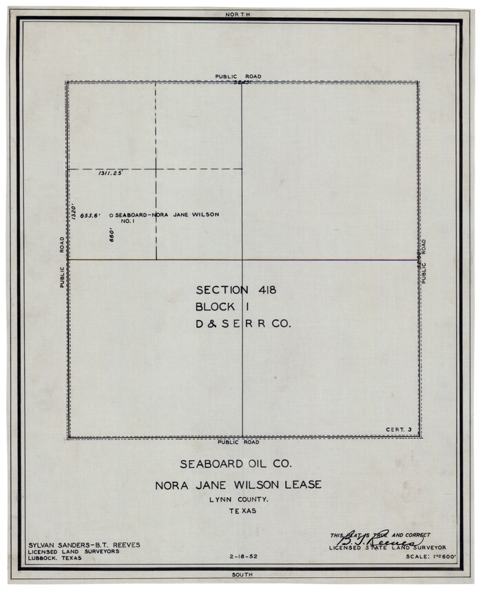
Nora Jane Wilson Lease

Print $20.00
- Digital $50.00
Nora Jane Wilson Lease
1952
Size 12.5 x 15.0 inches
Map/Doc 92962
[Township 3 North, Block 34]
![91227, [Township 3 North, Block 34], Twichell Survey Records](https://historictexasmaps.com/wmedia_w700/maps/91227-1.tif.jpg)
![91227, [Township 3 North, Block 34], Twichell Survey Records](https://historictexasmaps.com/wmedia_w700/maps/91227-1.tif.jpg)
Print $2.00
- Digital $50.00
[Township 3 North, Block 34]
Size 9.2 x 11.7 inches
Map/Doc 91227
[School Land Leagues in east part of Bailey County/west part of Lamb County]
![90256, [School Land Leagues in east part of Bailey County/west part of Lamb County], Twichell Survey Records](https://historictexasmaps.com/wmedia_w700/maps/90256-1.tif.jpg)
![90256, [School Land Leagues in east part of Bailey County/west part of Lamb County], Twichell Survey Records](https://historictexasmaps.com/wmedia_w700/maps/90256-1.tif.jpg)
Print $2.00
- Digital $50.00
[School Land Leagues in east part of Bailey County/west part of Lamb County]
Size 11.8 x 8.9 inches
Map/Doc 90256
[Lynn and Adjacent Counties]
![92961, [Lynn and Adjacent Counties], Twichell Survey Records](https://historictexasmaps.com/wmedia_w700/maps/92961-1.tif.jpg)
![92961, [Lynn and Adjacent Counties], Twichell Survey Records](https://historictexasmaps.com/wmedia_w700/maps/92961-1.tif.jpg)
Print $20.00
- Digital $50.00
[Lynn and Adjacent Counties]
Size 24.6 x 18.8 inches
Map/Doc 92961
You may also like
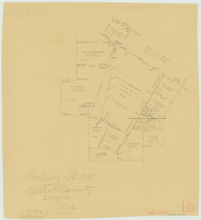
Walker County Working Sketch 1

Print $20.00
- Digital $50.00
Walker County Working Sketch 1
1912
Size 20.1 x 18.4 inches
Map/Doc 72281
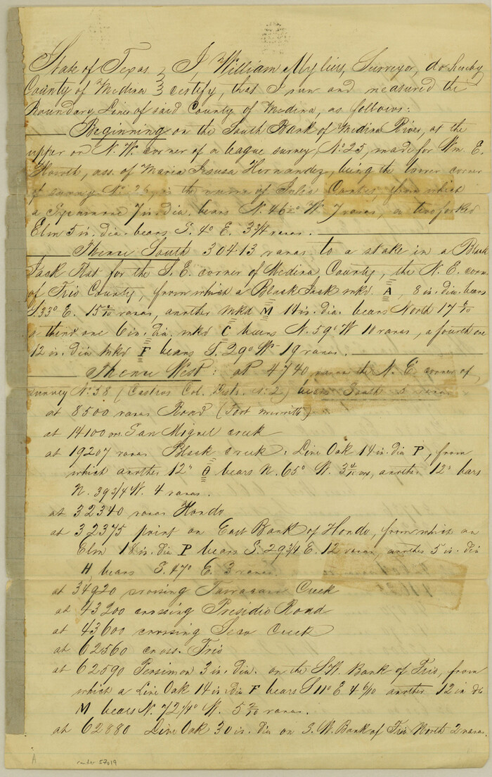
Medina County Boundary File 1

Print $14.00
- Digital $50.00
Medina County Boundary File 1
Size 12.8 x 8.1 inches
Map/Doc 57019
Andrews County Sketch File 13


Print $12.00
- Digital $50.00
Andrews County Sketch File 13
1979
Size 14.2 x 8.7 inches
Map/Doc 12863
[I. & G. N. Block 1]
![91572, [I. & G. N. Block 1], Twichell Survey Records](https://historictexasmaps.com/wmedia_w700/maps/91572-1.tif.jpg)
![91572, [I. & G. N. Block 1], Twichell Survey Records](https://historictexasmaps.com/wmedia_w700/maps/91572-1.tif.jpg)
Print $20.00
- Digital $50.00
[I. & G. N. Block 1]
Size 17.5 x 13.6 inches
Map/Doc 91572
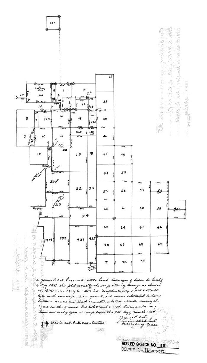
Culberson County Rolled Sketch 35

Print $20.00
- Digital $50.00
Culberson County Rolled Sketch 35
1934
Size 19.1 x 10.9 inches
Map/Doc 5659
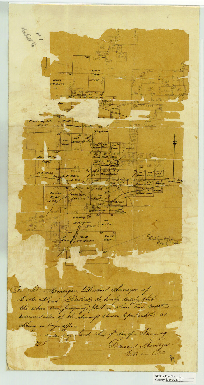
Haskell County Sketch File 1

Print $20.00
- Digital $50.00
Haskell County Sketch File 1
1856
Size 19.9 x 10.6 inches
Map/Doc 11738
Glasscock County Working Sketch 8


Print $20.00
- Digital $50.00
Glasscock County Working Sketch 8
Size 42.7 x 10.3 inches
Map/Doc 62189
Stonewall County Sketch File 26


Print $20.00
- Digital $50.00
Stonewall County Sketch File 26
1953
Size 35.7 x 36.8 inches
Map/Doc 10376
Robertson County Working Sketch 4


Print $20.00
- Digital $50.00
Robertson County Working Sketch 4
1979
Size 19.5 x 32.1 inches
Map/Doc 63577
General Highway Map. Detail of Cities and Towns in Lubbock County, Texas [Lubbock and vicinity]
![79181, General Highway Map. Detail of Cities and Towns in Lubbock County, Texas [Lubbock and vicinity], Texas State Library and Archives](https://historictexasmaps.com/wmedia_w700/maps/79181.tif.jpg)
![79181, General Highway Map. Detail of Cities and Towns in Lubbock County, Texas [Lubbock and vicinity], Texas State Library and Archives](https://historictexasmaps.com/wmedia_w700/maps/79181.tif.jpg)
Print $20.00
General Highway Map. Detail of Cities and Towns in Lubbock County, Texas [Lubbock and vicinity]
1940
Size 18.3 x 24.8 inches
Map/Doc 79181
General Highway Map, Moore County, Texas


Print $20.00
General Highway Map, Moore County, Texas
1940
Size 18.4 x 24.8 inches
Map/Doc 79203
![90503, [East-Central Crosby County], Twichell Survey Records](https://historictexasmaps.com/wmedia_w1800h1800/maps/90503-1.tif.jpg)

