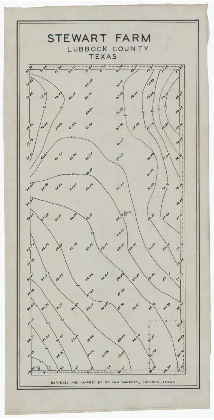
[Motley and Foard County School Land Leagues]
9-21
-
Map/Doc
90179
-
Collection
Twichell Survey Records
-
Counties
Bailey
-
Height x Width
22.8 x 29.6 inches
57.9 x 75.2 cm
Part of: Twichell Survey Records
Sketch of Section 3, Blk. JW, Showing Quantity East of Each Texas Section


Print $20.00
- Digital $50.00
Sketch of Section 3, Blk. JW, Showing Quantity East of Each Texas Section
Size 34.2 x 8.0 inches
Map/Doc 91985
[Township 3 North, Blocks 31 and 32, T. & P. RR. Company]
![92621, [Township 3 North, Blocks 31 and 32, T. & P. RR. Company], Twichell Survey Records](https://historictexasmaps.com/wmedia_w700/maps/92621-1.tif.jpg)
![92621, [Township 3 North, Blocks 31 and 32, T. & P. RR. Company], Twichell Survey Records](https://historictexasmaps.com/wmedia_w700/maps/92621-1.tif.jpg)
Print $20.00
- Digital $50.00
[Township 3 North, Blocks 31 and 32, T. & P. RR. Company]
Size 21.7 x 16.3 inches
Map/Doc 92621
[Southwest Portion of Lynn County, Southeast Portion of Terry County]
![91305, [Southwest Portion of Lynn County, Southeast Portion of Terry County], Twichell Survey Records](https://historictexasmaps.com/wmedia_w700/maps/91305-1.tif.jpg)
![91305, [Southwest Portion of Lynn County, Southeast Portion of Terry County], Twichell Survey Records](https://historictexasmaps.com/wmedia_w700/maps/91305-1.tif.jpg)
Print $20.00
- Digital $50.00
[Southwest Portion of Lynn County, Southeast Portion of Terry County]
1952
Size 34.3 x 35.1 inches
Map/Doc 91305
[H. & T. C. RR. Company, Block 47]
![91150, [H. & T. C. RR. Company, Block 47], Twichell Survey Records](https://historictexasmaps.com/wmedia_w700/maps/91150-1.tif.jpg)
![91150, [H. & T. C. RR. Company, Block 47], Twichell Survey Records](https://historictexasmaps.com/wmedia_w700/maps/91150-1.tif.jpg)
Print $20.00
- Digital $50.00
[H. & T. C. RR. Company, Block 47]
1874
Size 20.4 x 12.5 inches
Map/Doc 91150
[Sketch showing Blocks C-11, C-13, C-14, C-16, C-10]
![93123, [Sketch showing Blocks C-11, C-13, C-14, C-16, C-10], Twichell Survey Records](https://historictexasmaps.com/wmedia_w700/maps/93123-1.tif.jpg)
![93123, [Sketch showing Blocks C-11, C-13, C-14, C-16, C-10], Twichell Survey Records](https://historictexasmaps.com/wmedia_w700/maps/93123-1.tif.jpg)
Print $40.00
- Digital $50.00
[Sketch showing Blocks C-11, C-13, C-14, C-16, C-10]
Size 69.9 x 22.5 inches
Map/Doc 93123
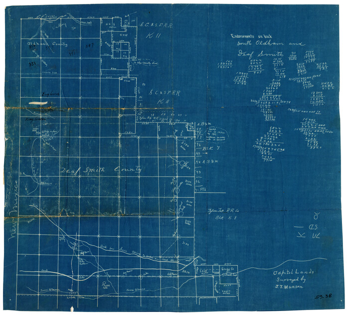
Capitol Lands Surveyed by J. T. Munson

Print $20.00
- Digital $50.00
Capitol Lands Surveyed by J. T. Munson
Size 14.3 x 13.0 inches
Map/Doc 90511
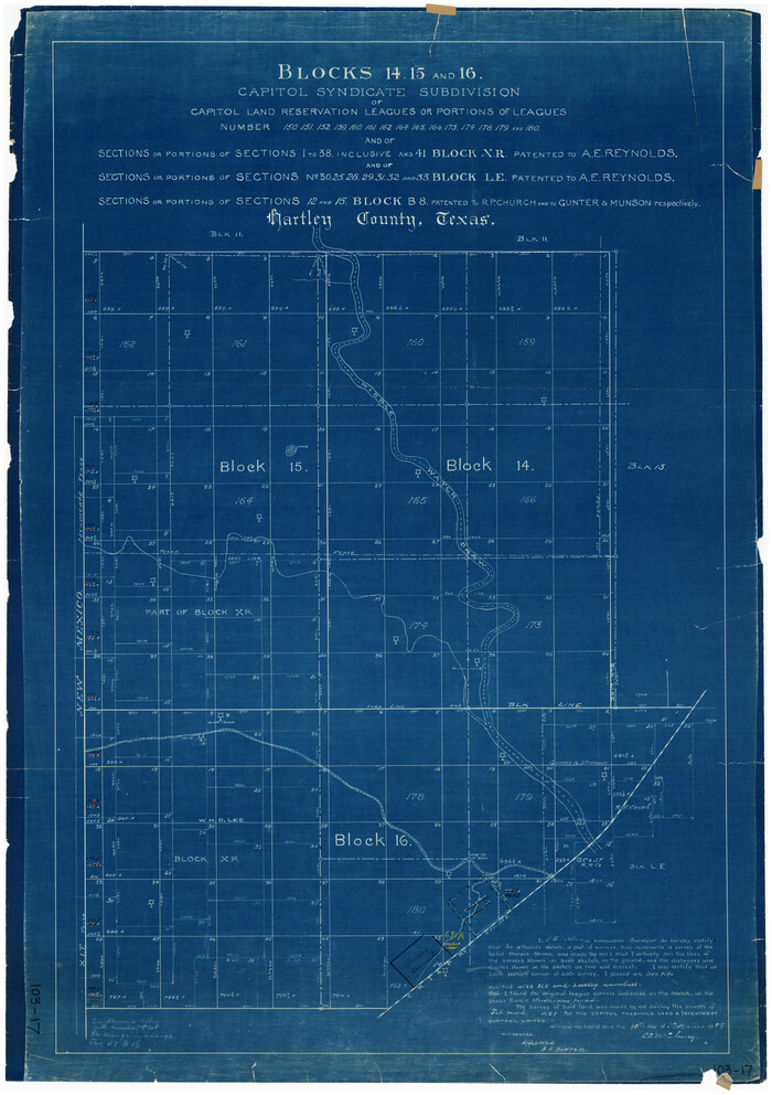
Blocks 14, 15, and 16 Capitol Syndicate Subdivision of Capitol Land Reservation Leagues

Print $20.00
- Digital $50.00
Blocks 14, 15, and 16 Capitol Syndicate Subdivision of Capitol Land Reservation Leagues
1907
Size 26.2 x 37.1 inches
Map/Doc 90712
Zappe Land Company's Subdivision of Chas. Butler Lands


Print $20.00
- Digital $50.00
Zappe Land Company's Subdivision of Chas. Butler Lands
Size 20.4 x 16.5 inches
Map/Doc 92735
[Sketch showing Blocks B5 and B6 and Capitol Land Reservation]
![89973, [Sketch showing Blocks B5 and B6 and Capitol Land Reservation], Twichell Survey Records](https://historictexasmaps.com/wmedia_w700/maps/89973-1.tif.jpg)
![89973, [Sketch showing Blocks B5 and B6 and Capitol Land Reservation], Twichell Survey Records](https://historictexasmaps.com/wmedia_w700/maps/89973-1.tif.jpg)
Print $20.00
- Digital $50.00
[Sketch showing Blocks B5 and B6 and Capitol Land Reservation]
Size 46.3 x 41.9 inches
Map/Doc 89973
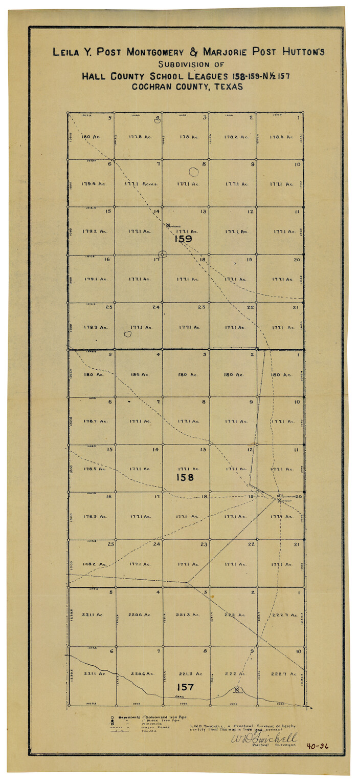
Leila Y. Post Montgomery & Marjorie Post Hutton's Subdivision of Hall County School Land Leagues 158-159-N 1/2 157, Cochran County, Texas

Print $20.00
- Digital $50.00
Leila Y. Post Montgomery & Marjorie Post Hutton's Subdivision of Hall County School Land Leagues 158-159-N 1/2 157, Cochran County, Texas
Size 8.4 x 18.4 inches
Map/Doc 90456
Lamb-Castro County Line


Print $20.00
- Digital $50.00
Lamb-Castro County Line
Size 45.2 x 14.8 inches
Map/Doc 91059
You may also like
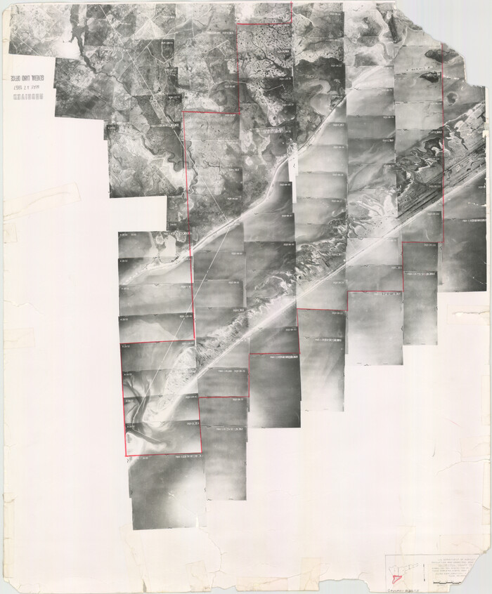
Galveston County Aerial Photograph Index Sheet 4

Print $20.00
- Digital $50.00
Galveston County Aerial Photograph Index Sheet 4
1953
Size 23.5 x 19.4 inches
Map/Doc 83695
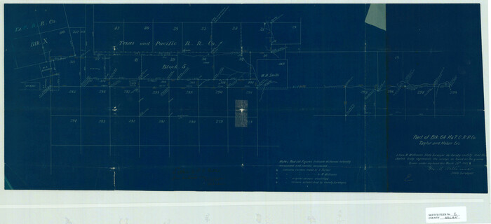
Nolan County Sketch File C

Print $20.00
- Digital $50.00
Nolan County Sketch File C
1902
Size 14.4 x 31.5 inches
Map/Doc 42172
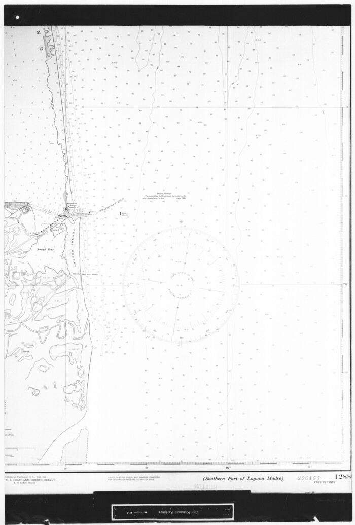
United States - Gulf Coast Texas - Southern part of Laguna Madre

Print $20.00
- Digital $50.00
United States - Gulf Coast Texas - Southern part of Laguna Madre
1941
Size 27.1 x 18.3 inches
Map/Doc 72954
PSL Field Notes for Block B13 in Crane, Ector, Ward, and Winkler Counties, Blocks B14 and B16 in Crane and Ector Counties, Blocks B7 and B8 in Ector and Winkler Counties and Block B15 in Ector County


PSL Field Notes for Block B13 in Crane, Ector, Ward, and Winkler Counties, Blocks B14 and B16 in Crane and Ector Counties, Blocks B7 and B8 in Ector and Winkler Counties and Block B15 in Ector County
Map/Doc 81651
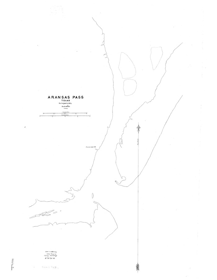
Aransas County Sketch File 11

Print $40.00
- Digital $50.00
Aransas County Sketch File 11
Size 40.6 x 31.4 inches
Map/Doc 10318
Flight Mission No. CUG-2P, Frame 85, Kleberg County


Print $20.00
- Digital $50.00
Flight Mission No. CUG-2P, Frame 85, Kleberg County
1956
Size 18.5 x 22.2 inches
Map/Doc 86217
Travis County Sketch File 32
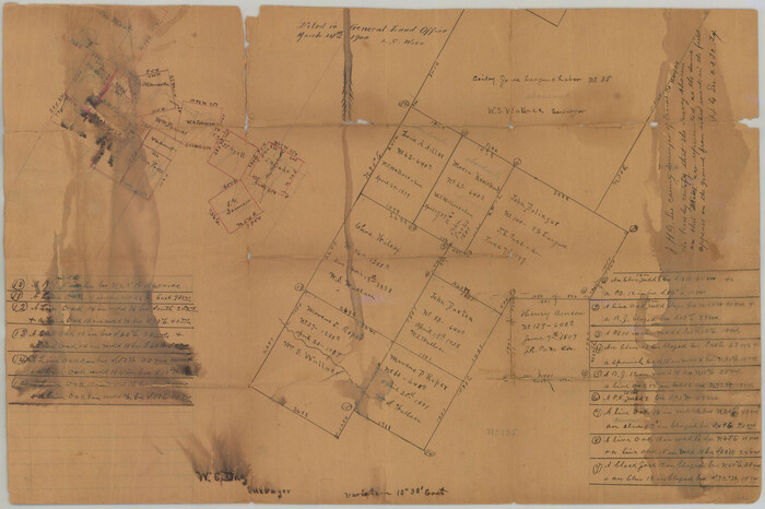

Print $20.00
- Digital $50.00
Travis County Sketch File 32
Size 25.3 x 32.7 inches
Map/Doc 12460
Flight Mission No. DIX-10P, Frame 146, Aransas County
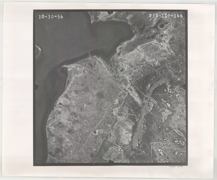

Print $20.00
- Digital $50.00
Flight Mission No. DIX-10P, Frame 146, Aransas County
1956
Size 18.6 x 22.4 inches
Map/Doc 83948
Collin County Rolled Sketch 2
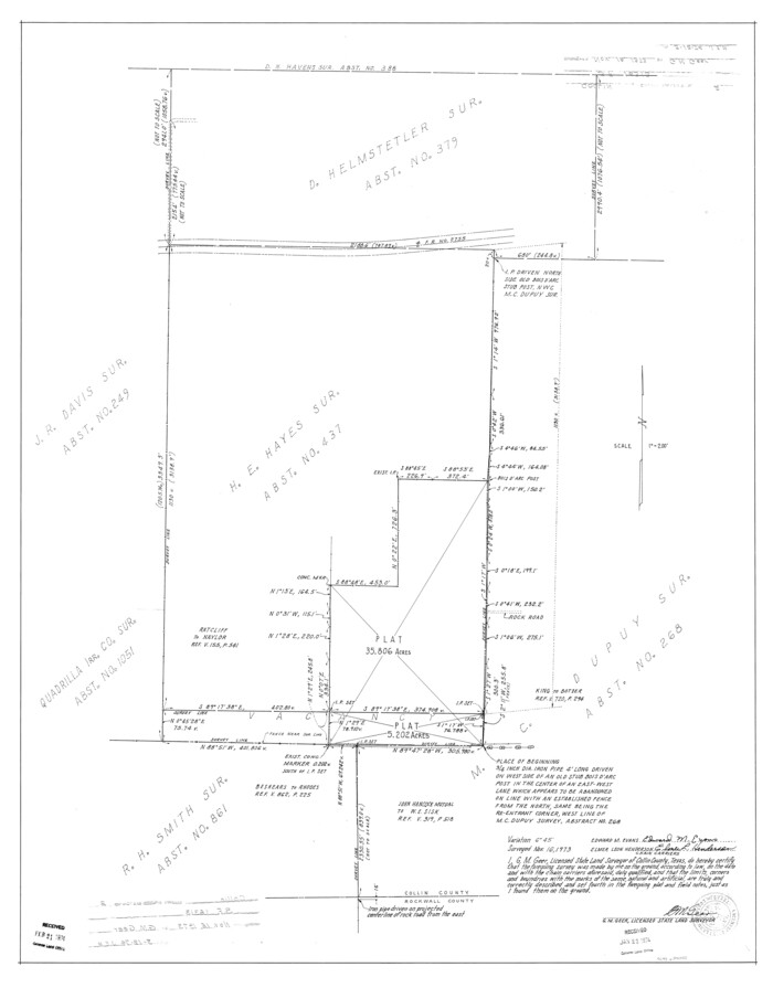

Print $20.00
- Digital $50.00
Collin County Rolled Sketch 2
Size 33.3 x 26.1 inches
Map/Doc 8636
Wharton County Working Sketch 24
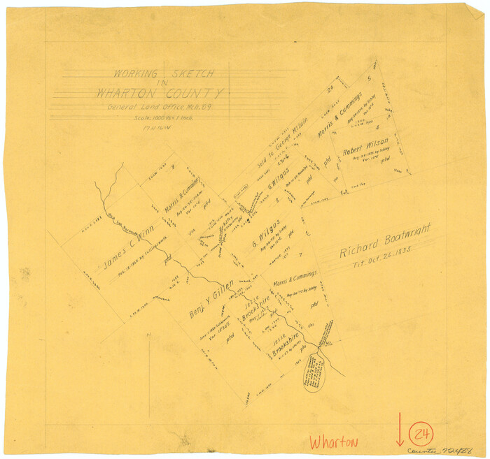

Print $20.00
- Digital $50.00
Wharton County Working Sketch 24
1909
Size 13.3 x 14.2 inches
Map/Doc 72488
Sutton County Working Sketch 31


Print $20.00
- Digital $50.00
Sutton County Working Sketch 31
1929
Size 19.2 x 21.8 inches
Map/Doc 62374
Traced from Genl. Arista's map captured by the American Army under Genl. Taylor at Resaca de la Palma 9th May '46 and presented to James K. Polk, President U. States


Print $20.00
- Digital $50.00
Traced from Genl. Arista's map captured by the American Army under Genl. Taylor at Resaca de la Palma 9th May '46 and presented to James K. Polk, President U. States
1846
Size 18.2 x 27.3 inches
Map/Doc 73060
![90179, [Motley and Foard County School Land Leagues], Twichell Survey Records](https://historictexasmaps.com/wmedia_w1800h1800/maps/90179-1.tif.jpg)
