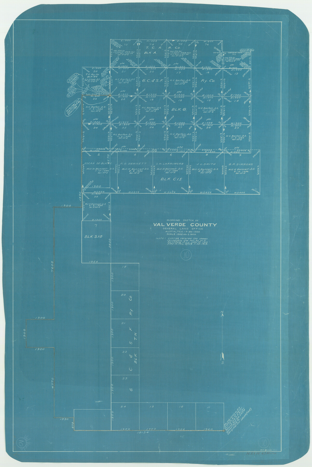
Val Verde County Working Sketch 10
-
Map/Doc
72145
-
Collection
General Map Collection
-
Object Dates
7/26/1920 (Creation Date)
-
People and Organizations
G.C. Morriss (Draftsman)
-
Counties
Val Verde
-
Subjects
Surveying Working Sketch
-
Height x Width
31.7 x 21.2 inches
80.5 x 53.9 cm
-
Scale
1" = 1000 varas
Part of: General Map Collection
Hudspeth County Sketch File 20a

Print $10.00
- Digital $50.00
Hudspeth County Sketch File 20a
Size 10.8 x 8.2 inches
Map/Doc 26964
Map of Navarro County

Print $20.00
- Digital $50.00
Map of Navarro County
1858
Size 19.3 x 25.8 inches
Map/Doc 3912
Trinity County Sketch File 33

Print $6.00
- Digital $50.00
Trinity County Sketch File 33
1922
Size 11.2 x 8.9 inches
Map/Doc 38572
Crockett County Rolled Sketch 63

Print $20.00
- Digital $50.00
Crockett County Rolled Sketch 63
1947
Size 18.9 x 30.8 inches
Map/Doc 5606
Amistad International Reservoir on Rio Grande 98

Print $20.00
- Digital $50.00
Amistad International Reservoir on Rio Grande 98
1950
Size 28.5 x 40.9 inches
Map/Doc 75529
Flight Mission No. DAH-9M, Frame 161, Orange County

Print $20.00
- Digital $50.00
Flight Mission No. DAH-9M, Frame 161, Orange County
1953
Size 18.6 x 22.4 inches
Map/Doc 86860
[Sketch for Mineral Application 1112 - Colorado River, H. E. Chambers]
![65639, [Sketch for Mineral Application 1112 - Colorado River, H. E. Chambers], General Map Collection](https://historictexasmaps.com/wmedia_w700/maps/65639.tif.jpg)
Print $20.00
- Digital $50.00
[Sketch for Mineral Application 1112 - Colorado River, H. E. Chambers]
1918
Size 17.3 x 28.3 inches
Map/Doc 65639
Military Reconnaissance [showing forts along Rio Grande near Matamoros]
![72910, Military Reconnaissance [showing forts along Rio Grande near Matamoros], General Map Collection](https://historictexasmaps.com/wmedia_w700/maps/72910.tif.jpg)
Print $20.00
- Digital $50.00
Military Reconnaissance [showing forts along Rio Grande near Matamoros]
1846
Size 18.4 x 26.7 inches
Map/Doc 72910
Orange County Working Sketch 30

Print $20.00
- Digital $50.00
Orange County Working Sketch 30
1953
Size 19.7 x 34.2 inches
Map/Doc 71362
Stonewall County Working Sketch 22

Print $20.00
- Digital $50.00
Stonewall County Working Sketch 22
1966
Size 44.2 x 32.9 inches
Map/Doc 62329

Map of Martin County Texas

Print $20.00
- Digital $50.00
Map of Martin County Texas
1880
Size 22.6 x 19.0 inches
Map/Doc 4592
You may also like
Young County Boundary File 98

Print $12.00
- Digital $50.00
Young County Boundary File 98
Size 8.8 x 7.5 inches
Map/Doc 60205
Sterling County Rolled Sketch 15

Print $20.00
- Digital $50.00
Sterling County Rolled Sketch 15
Size 30.0 x 31.2 inches
Map/Doc 9947
Forester Cemetery

Print $20.00
- Digital $50.00
Forester Cemetery
1925
Size 23.0 x 28.8 inches
Map/Doc 92322
Kendall County Sketch File 13

Print $4.00
- Digital $50.00
Kendall County Sketch File 13
1860
Size 10.1 x 8.0 inches
Map/Doc 28699
General Highway Map, Harrison County, Texas

Print $20.00
General Highway Map, Harrison County, Texas
1940
Size 18.2 x 24.8 inches
Map/Doc 79121
[Town Plat of Lamar]
![4462, [Town Plat of Lamar], Maddox Collection](https://historictexasmaps.com/wmedia_w700/maps/4462-1.tif.jpg)
Print $20.00
- Digital $50.00
[Town Plat of Lamar]
Size 19.0 x 25.0 inches
Map/Doc 4462
Map of the Western Territory &c.

Print $20.00
- Digital $50.00
Map of the Western Territory &c.
1834
Size 18.5 x 18.8 inches
Map/Doc 95691
Flight Mission No. CGI-3N, Frame 168, Cameron County

Print $20.00
- Digital $50.00
Flight Mission No. CGI-3N, Frame 168, Cameron County
1954
Size 18.5 x 22.6 inches
Map/Doc 84632
Kendall County Working Sketch 14

Print $20.00
- Digital $50.00
Kendall County Working Sketch 14
1967
Size 37.6 x 33.1 inches
Map/Doc 66686

Bird's Eye View of Schulenburg, Fayette County, Texas

Print $20.00
Bird's Eye View of Schulenburg, Fayette County, Texas
1881
Size 18.6 x 31.0 inches
Map/Doc 89206
Index sheet to accompany map of survey for connecting the inland waters along margin of the Gulf of Mexico from Donaldsonville in Louisiana to the Rio Grande River in Texas

Print $20.00
- Digital $50.00
Index sheet to accompany map of survey for connecting the inland waters along margin of the Gulf of Mexico from Donaldsonville in Louisiana to the Rio Grande River in Texas
1874
Size 18.2 x 27.1 inches
Map/Doc 72695