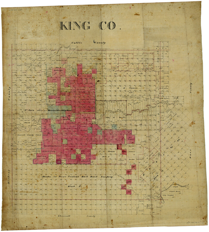
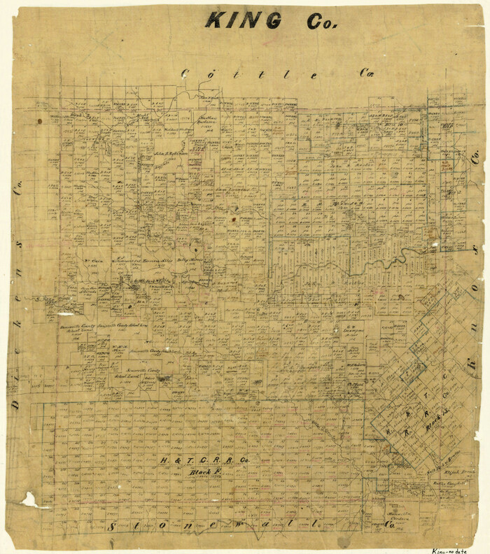
[Town Plat of Lamar]
-
Map/Doc
4462
-
Collection
Maddox Collection
-
Counties
Aransas
-
Height x Width
19.0 x 25.0 inches
48.3 x 63.5 cm
-
Comments
Adopted in honor of Frank Santos on his birthday, March 22, 2005, by Leah, Cuatro and Nando and conservation funded in 2005.
Part of: Maddox Collection
Borden County, Texas


Print $20.00
- Digital $50.00
Borden County, Texas
1887
Size 19.9 x 18.3 inches
Map/Doc 596
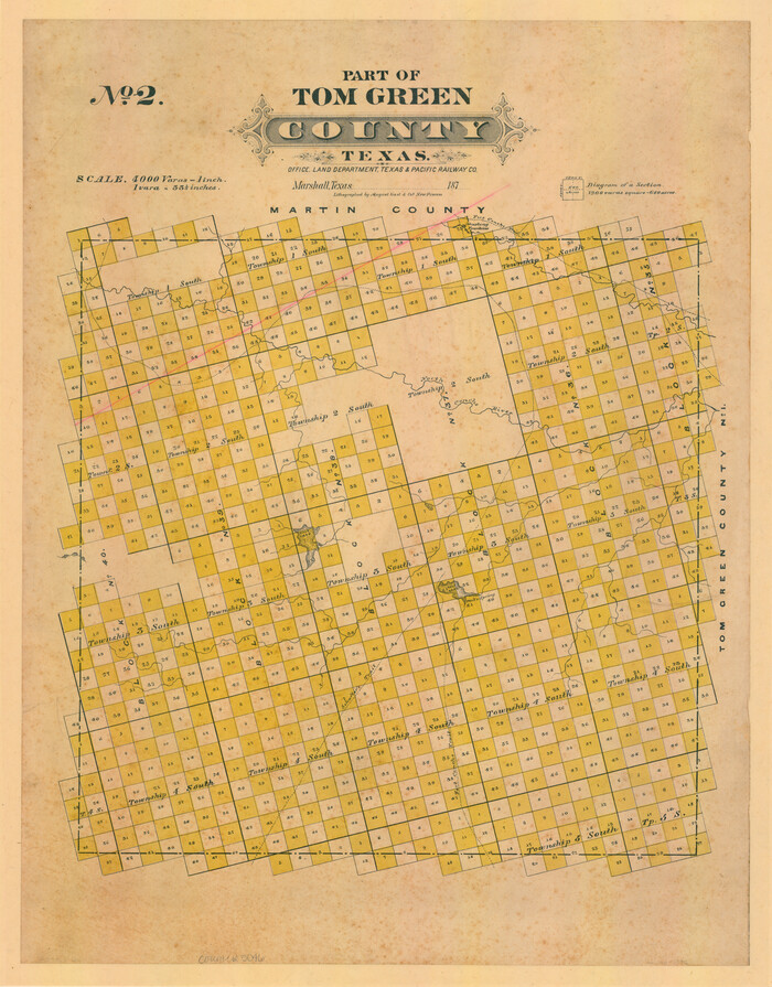
Part of Tom Green County, Texas (No. 2)

Print $20.00
- Digital $50.00
Part of Tom Green County, Texas (No. 2)
1870
Size 22.9 x 18.0 inches
Map/Doc 5046
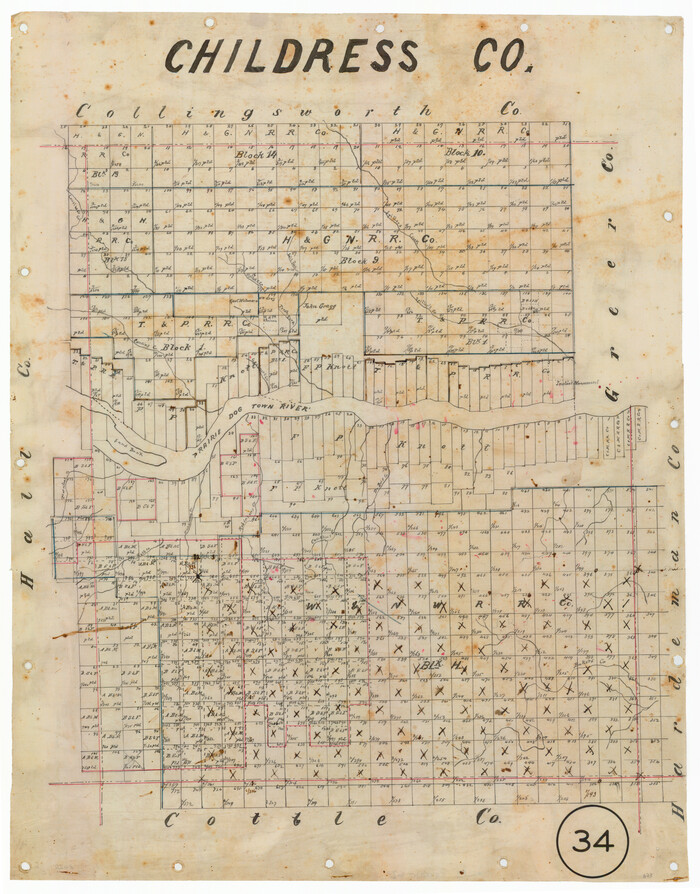
Childress County, Texas

Print $20.00
- Digital $50.00
Childress County, Texas
1890
Size 19.9 x 16.9 inches
Map/Doc 673
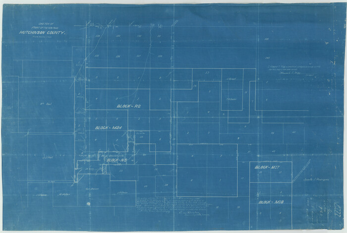
Sketch of part of the NW part, Hutchinson County

Print $20.00
- Digital $50.00
Sketch of part of the NW part, Hutchinson County
1909
Size 20.9 x 31.2 inches
Map/Doc 75816
[Surveying Sketch of L. Smith, Sidney Shepherd, Kenneth Hyman, et al in Montgomery County]
![625, [Surveying Sketch of L. Smith, Sidney Shepherd, Kenneth Hyman, et al in Montgomery County], Maddox Collection](https://historictexasmaps.com/wmedia_w700/maps/00625.tif.jpg)
![625, [Surveying Sketch of L. Smith, Sidney Shepherd, Kenneth Hyman, et al in Montgomery County], Maddox Collection](https://historictexasmaps.com/wmedia_w700/maps/00625.tif.jpg)
Print $2.00
- Digital $50.00
[Surveying Sketch of L. Smith, Sidney Shepherd, Kenneth Hyman, et al in Montgomery County]
Size 7.3 x 10.6 inches
Map/Doc 625
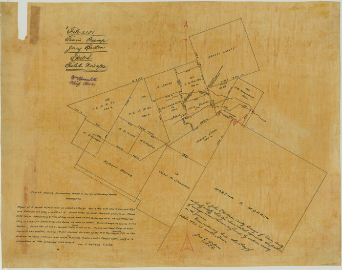
Sketch showing connections made in survey of the Jerry Barton preemption

Print $20.00
- Digital $50.00
Sketch showing connections made in survey of the Jerry Barton preemption
1892
Size 18.7 x 23.6 inches
Map/Doc 75557
Sketch in Uvalde County


Print $20.00
- Digital $50.00
Sketch in Uvalde County
1890
Size 12.3 x 15.9 inches
Map/Doc 5049
[Sketch of Surveys in Ward County, Texas]
![75767, [Sketch of Surveys in Ward County, Texas], Maddox Collection](https://historictexasmaps.com/wmedia_w700/maps/75767.tif.jpg)
![75767, [Sketch of Surveys in Ward County, Texas], Maddox Collection](https://historictexasmaps.com/wmedia_w700/maps/75767.tif.jpg)
Print $20.00
- Digital $50.00
[Sketch of Surveys in Ward County, Texas]
Size 9.7 x 37.1 inches
Map/Doc 75767
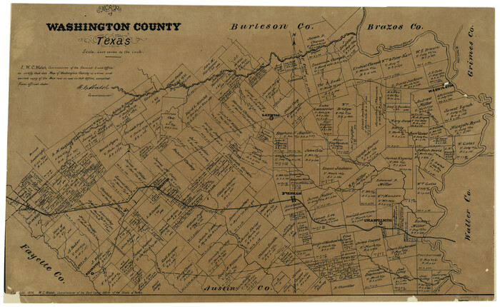
Map of Washington County, Texas

Print $20.00
- Digital $50.00
Map of Washington County, Texas
1879
Size 14.4 x 21.6 inches
Map/Doc 765
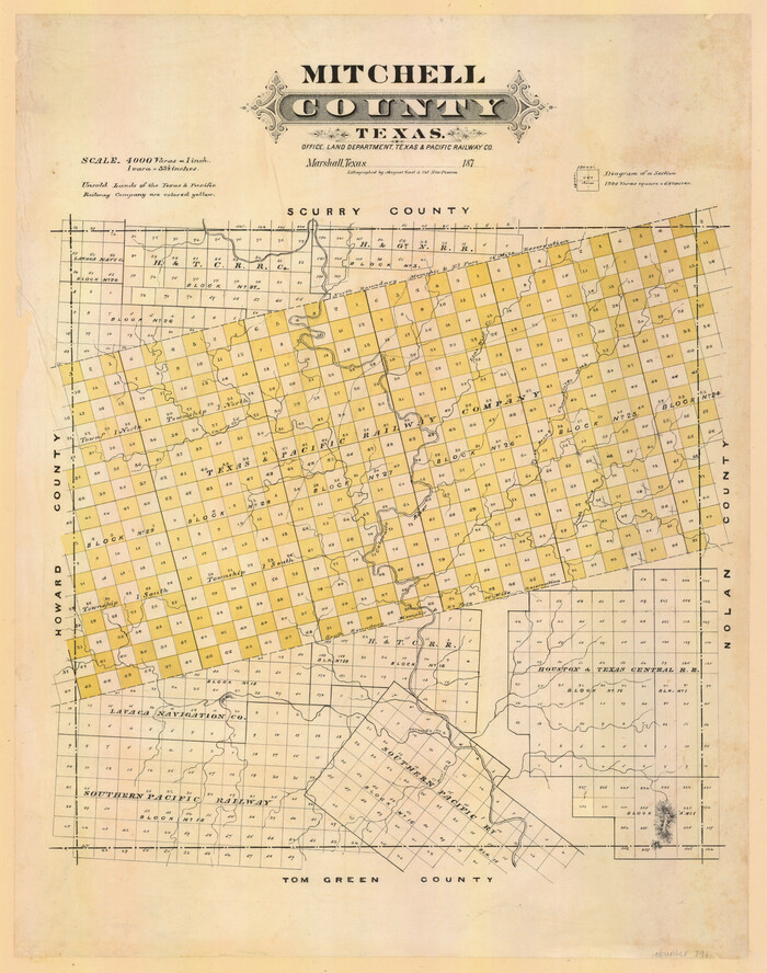
Mitchell County, Texas

Print $20.00
- Digital $50.00
Mitchell County, Texas
1870
Size 22.7 x 18.0 inches
Map/Doc 741
McMullen County, Texas


Print $20.00
- Digital $50.00
McMullen County, Texas
1889
Size 28.7 x 22.1 inches
Map/Doc 575
You may also like
Childress County Sketch File 17
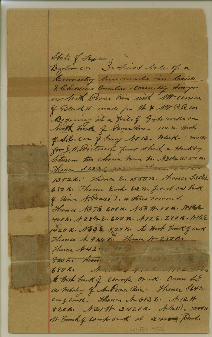

Print $8.00
- Digital $50.00
Childress County Sketch File 17
Size 13.0 x 8.2 inches
Map/Doc 18286
Kenedy County Working Sketch 2a
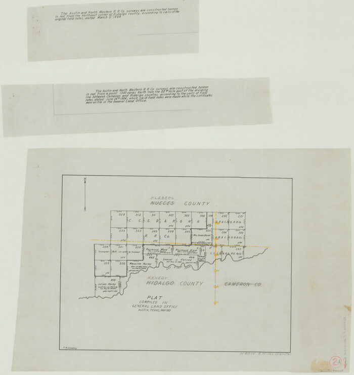

Print $20.00
- Digital $50.00
Kenedy County Working Sketch 2a
1907
Size 22.2 x 20.9 inches
Map/Doc 70003
Grayson County Sketch File 3a


Print $20.00
- Digital $50.00
Grayson County Sketch File 3a
1855
Size 19.6 x 25.5 inches
Map/Doc 11580
Motley County Sketch File 12 (S)
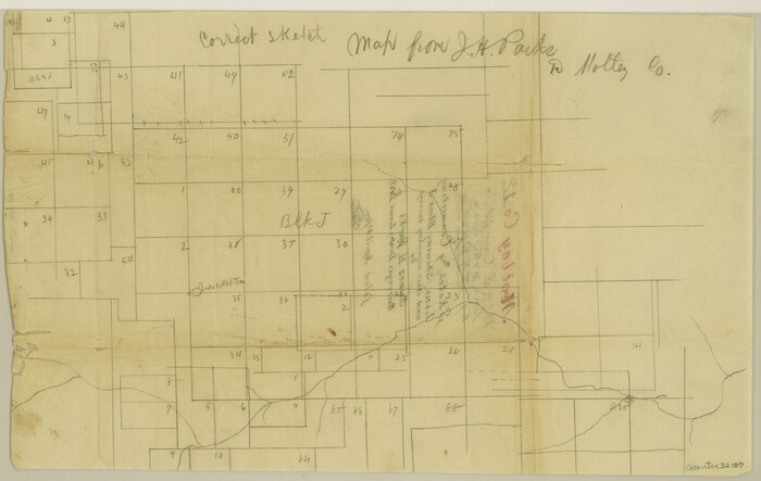

Print $4.00
- Digital $50.00
Motley County Sketch File 12 (S)
Size 8.4 x 13.2 inches
Map/Doc 32187
[Surveys in the Bexar District along Hondo and Seco Creeks]
![314, [Surveys in the Bexar District along Hondo and Seco Creeks], General Map Collection](https://historictexasmaps.com/wmedia_w700/maps/314.tif.jpg)
![314, [Surveys in the Bexar District along Hondo and Seco Creeks], General Map Collection](https://historictexasmaps.com/wmedia_w700/maps/314.tif.jpg)
Print $3.00
- Digital $50.00
[Surveys in the Bexar District along Hondo and Seco Creeks]
1847
Size 9.3 x 9.9 inches
Map/Doc 314
Van Zandt County Sketch File 27
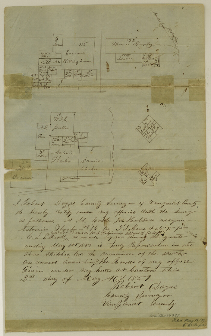

Print $4.00
- Digital $50.00
Van Zandt County Sketch File 27
1859
Size 13.1 x 8.3 inches
Map/Doc 39447
Kimble County Sketch File L1


Print $22.00
- Digital $50.00
Kimble County Sketch File L1
Size 7.1 x 13.1 inches
Map/Doc 28967
Coleman County Working Sketch 17
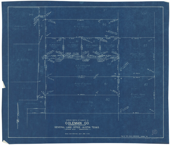

Print $20.00
- Digital $50.00
Coleman County Working Sketch 17
1952
Size 24.8 x 29.2 inches
Map/Doc 68083
Wood County Sketch File 13
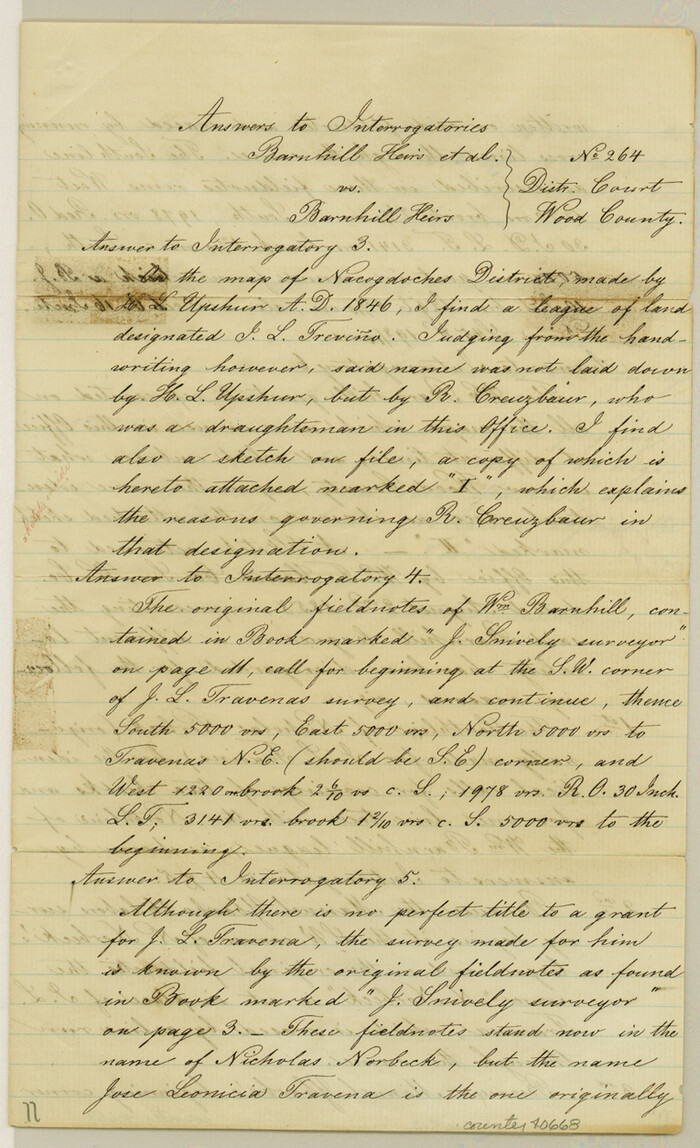

Print $24.00
- Digital $50.00
Wood County Sketch File 13
1866
Size 12.5 x 7.6 inches
Map/Doc 40668
Flight Mission No. DCL-5C, Frame 3, Kenedy County
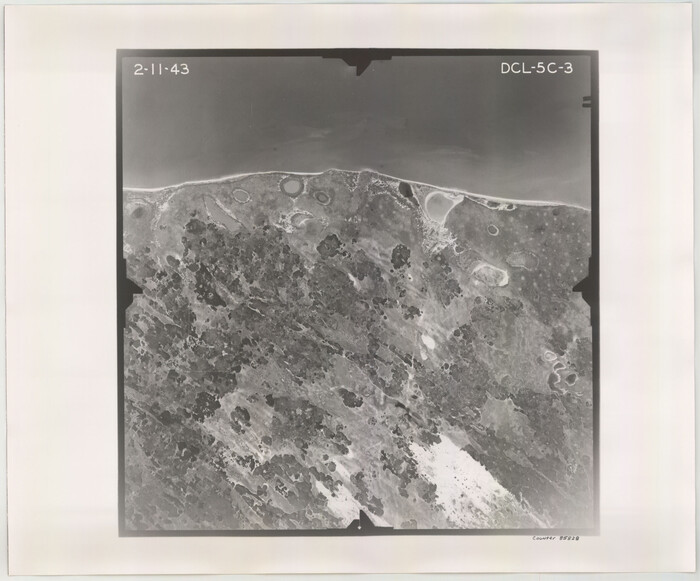

Print $20.00
- Digital $50.00
Flight Mission No. DCL-5C, Frame 3, Kenedy County
1943
Size 18.4 x 22.2 inches
Map/Doc 85828
![4462, [Town Plat of Lamar], Maddox Collection](https://historictexasmaps.com/wmedia_w1800h1800/maps/4462-1.tif.jpg)
