[Sketch of Surveys in Ward County, Texas]
-
Map/Doc
75767
-
Collection
Maddox Collection
-
Counties
Ward
-
Height x Width
9.7 x 37.1 inches
24.6 x 94.2 cm
-
Medium
linen, manuscript
-
Features
Quito
Monahan Tanks
Pyote
Mouth of Toyah Creek
Part of: Maddox Collection
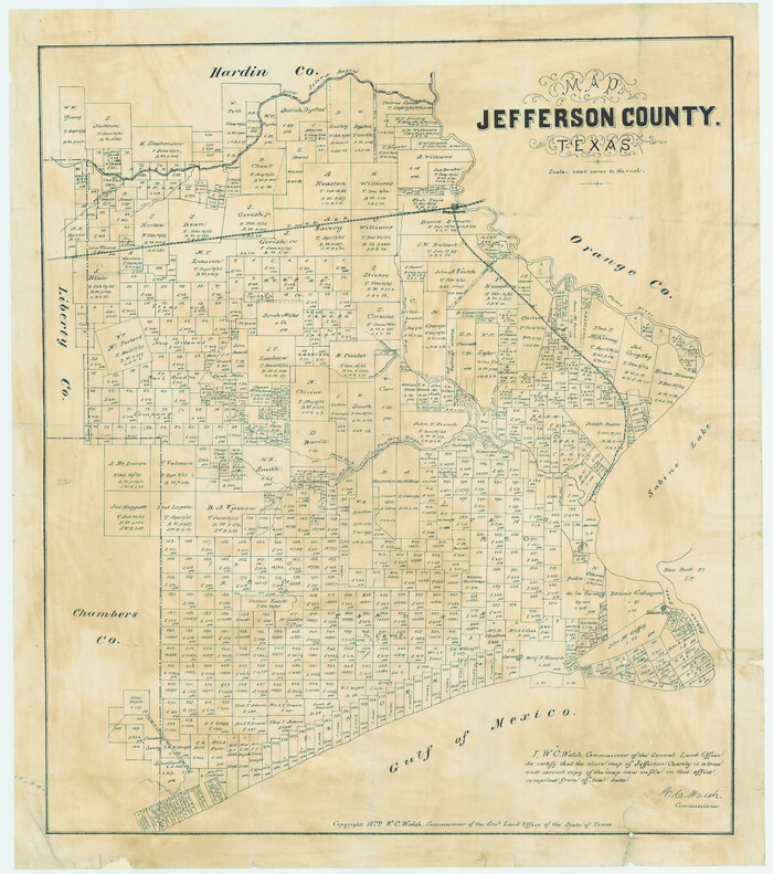
Map of Jefferson County, Texas

Print $20.00
- Digital $50.00
Map of Jefferson County, Texas
1879
Size 23.2 x 20.6 inches
Map/Doc 5054
[Surveying sketch of S. Hayford, E. T. R.R. Co., T. C. R. R. Co., et al in Travis County, Texas]
![10753, [Surveying sketch of S. Hayford, E. T. R.R. Co., T. C. R. R. Co., et al in Travis County, Texas], Maddox Collection](https://historictexasmaps.com/wmedia_w700/maps/10753-1.tif.jpg)
![10753, [Surveying sketch of S. Hayford, E. T. R.R. Co., T. C. R. R. Co., et al in Travis County, Texas], Maddox Collection](https://historictexasmaps.com/wmedia_w700/maps/10753-1.tif.jpg)
Print $20.00
- Digital $50.00
[Surveying sketch of S. Hayford, E. T. R.R. Co., T. C. R. R. Co., et al in Travis County, Texas]
Size 18.0 x 17.3 inches
Map/Doc 10753
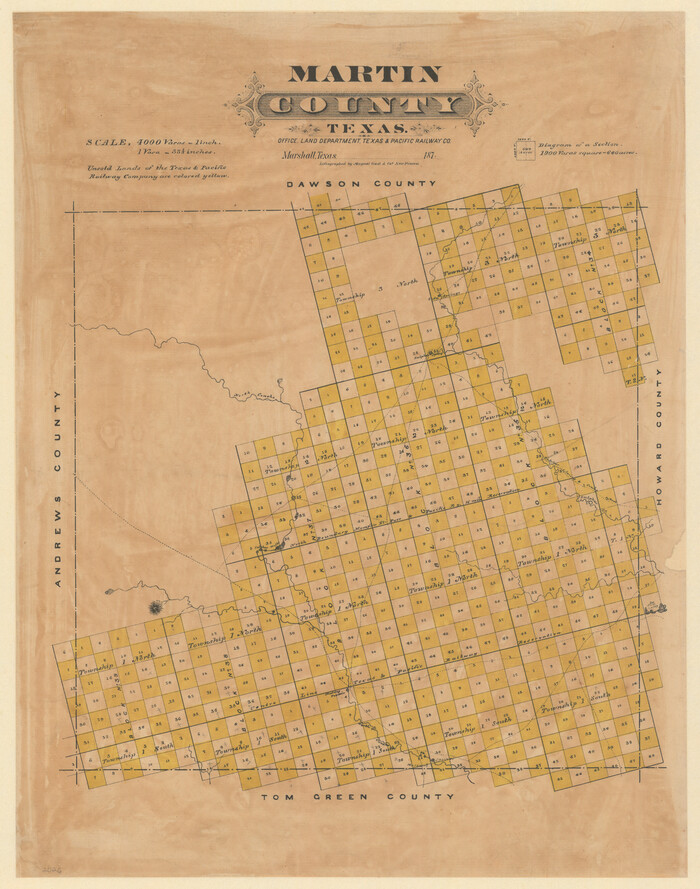
Martin County, Texas

Print $20.00
- Digital $50.00
Martin County, Texas
1870
Size 22.9 x 18.0 inches
Map/Doc 391
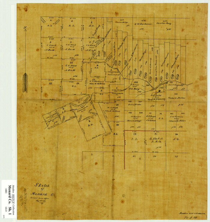
Sketch of Menard Co.

Print $20.00
- Digital $50.00
Sketch of Menard Co.
1883
Size 15.1 x 14.2 inches
Map/Doc 536
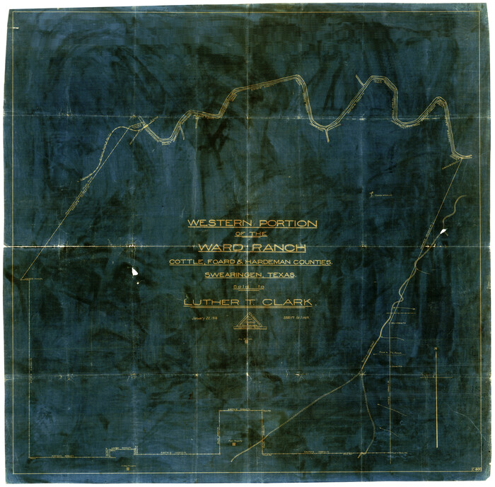
Western portion of the Ward Ranch, Cottle, Foard & Hardeman Counties, Swearingen, Texas sold to Luther T. Clark

Print $20.00
- Digital $50.00
Western portion of the Ward Ranch, Cottle, Foard & Hardeman Counties, Swearingen, Texas sold to Luther T. Clark
1916
Size 30.4 x 30.7 inches
Map/Doc 4460
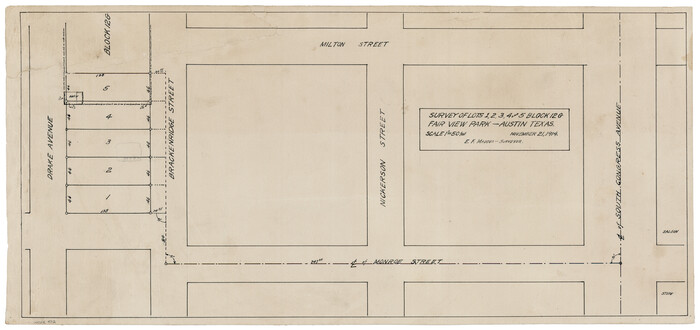
Survey of Lots 1, 2, 3, 4 and 5, Block 12G Fair View Park, Austin Texas

Print $20.00
- Digital $50.00
Survey of Lots 1, 2, 3, 4 and 5, Block 12G Fair View Park, Austin Texas
1914
Size 10.7 x 22.8 inches
Map/Doc 472
[Sketch showing surveys in Sutton and Val Verde Counties, Texas]
![10779, [Sketch showing surveys in Sutton and Val Verde Counties, Texas], Maddox Collection](https://historictexasmaps.com/wmedia_w700/maps/10779-1.tif.jpg)
![10779, [Sketch showing surveys in Sutton and Val Verde Counties, Texas], Maddox Collection](https://historictexasmaps.com/wmedia_w700/maps/10779-1.tif.jpg)
Print $20.00
- Digital $50.00
[Sketch showing surveys in Sutton and Val Verde Counties, Texas]
1880
Size 28.0 x 14.5 inches
Map/Doc 10779
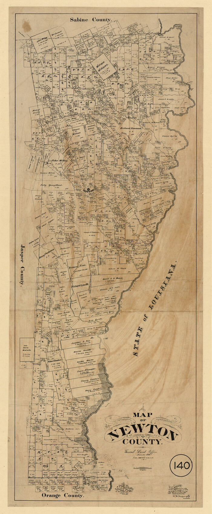
Map of Newton County, Texas

Print $20.00
- Digital $50.00
Map of Newton County, Texas
1893
Size 35.0 x 15.2 inches
Map/Doc 587
Childress County, Texas


Print $20.00
- Digital $50.00
Childress County, Texas
1892
Size 29.3 x 22.0 inches
Map/Doc 697
Map of Swisher Addition


Print $20.00
- Digital $50.00
Map of Swisher Addition
1910
Size 18.0 x 13.3 inches
Map/Doc 646
[Wm. B. Jaques assee. of José Pineda, Kimble County, Texas]
![540, [Wm. B. Jaques assee. of José Pineda, Kimble County, Texas], Maddox Collection](https://historictexasmaps.com/wmedia_w700/maps/0540.tif.jpg)
![540, [Wm. B. Jaques assee. of José Pineda, Kimble County, Texas], Maddox Collection](https://historictexasmaps.com/wmedia_w700/maps/0540.tif.jpg)
Print $3.00
- Digital $50.00
[Wm. B. Jaques assee. of José Pineda, Kimble County, Texas]
Size 16.1 x 11.2 inches
Map/Doc 540
Map of Rains County, Texas


Print $3.00
- Digital $50.00
Map of Rains County, Texas
1880
Size 11.7 x 12.0 inches
Map/Doc 541
You may also like
Borden County Sketch File 6


Print $8.00
- Digital $50.00
Borden County Sketch File 6
1900
Size 11.2 x 8.7 inches
Map/Doc 14719
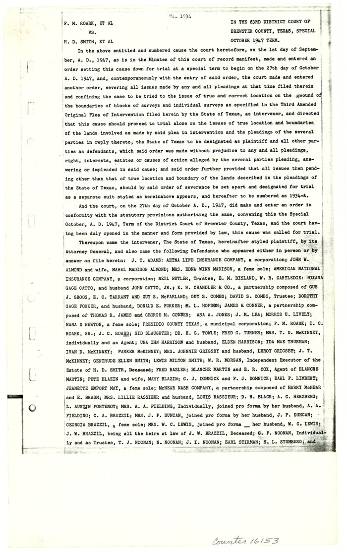
Brewster County Sketch File NS-10

Print $136.00
- Digital $50.00
Brewster County Sketch File NS-10
1947
Size 14.3 x 9.0 inches
Map/Doc 16153
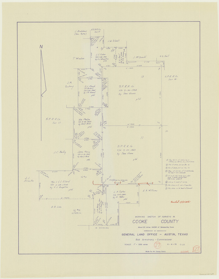
Cooke County Working Sketch 27

Print $20.00
- Digital $50.00
Cooke County Working Sketch 27
1975
Size 29.7 x 23.3 inches
Map/Doc 68264
Chambers County Working Sketch 9


Print $20.00
- Digital $50.00
Chambers County Working Sketch 9
1946
Size 43.9 x 29.8 inches
Map/Doc 67992
Crane County Rolled Sketch 24
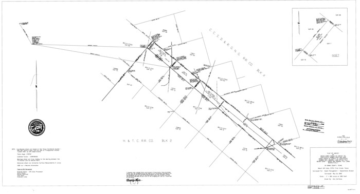

Print $40.00
- Digital $50.00
Crane County Rolled Sketch 24
2002
Size 33.5 x 62.0 inches
Map/Doc 76427
Wise County Sketch File 24
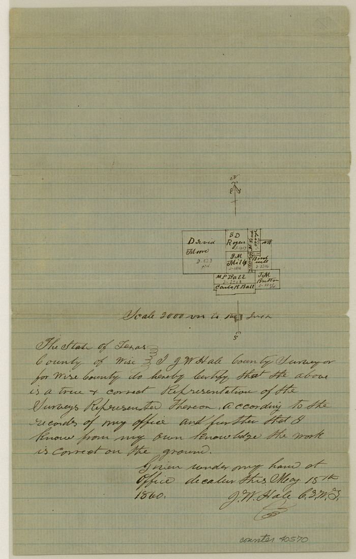

Print $4.00
- Digital $50.00
Wise County Sketch File 24
1860
Size 12.3 x 7.8 inches
Map/Doc 40570
Bosque County Sketch File 22


Print $4.00
- Digital $50.00
Bosque County Sketch File 22
1863
Size 13.8 x 8.5 inches
Map/Doc 14804
Goliad County Sketch File 24


Print $16.00
- Digital $50.00
Goliad County Sketch File 24
1856
Size 12.9 x 8.2 inches
Map/Doc 24297
Flight Mission No. CRC-3R, Frame 164, Chambers County
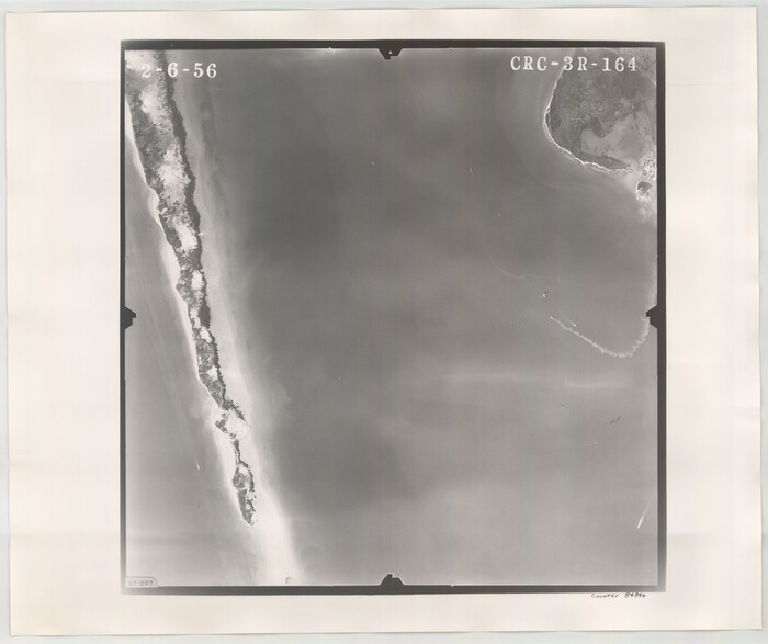

Print $20.00
- Digital $50.00
Flight Mission No. CRC-3R, Frame 164, Chambers County
1956
Size 18.7 x 22.3 inches
Map/Doc 84846
Artesian Company Subdivision
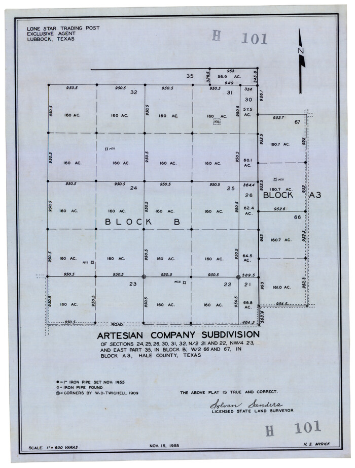

Print $20.00
- Digital $50.00
Artesian Company Subdivision
1955
Size 12.0 x 15.8 inches
Map/Doc 92698
Atascosa County Working Sketch 16


Print $20.00
- Digital $50.00
Atascosa County Working Sketch 16
1943
Size 16.3 x 20.2 inches
Map/Doc 67212
Hemphill County Rolled Sketch 6
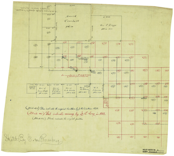

Print $20.00
- Digital $50.00
Hemphill County Rolled Sketch 6
Size 22.2 x 24.7 inches
Map/Doc 6188
![75767, [Sketch of Surveys in Ward County, Texas], Maddox Collection](https://historictexasmaps.com/wmedia_w1800h1800/maps/75767.tif.jpg)