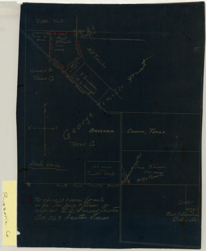
[George Tenille Grant, Brazoria County, Texas]

Map of the C.C. Browning survey 412 enlarged from General Land Office map of the west part of Travis County, Texas
1920
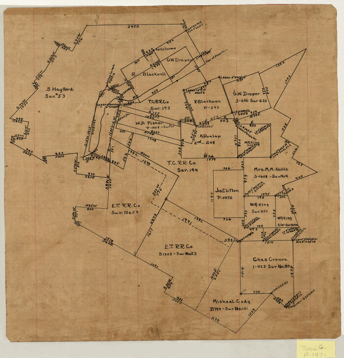
[Surveying sketch of S. Hayford, E. T. R.R. Co., T. C. R. R. Co., et al in Travis County, Texas]
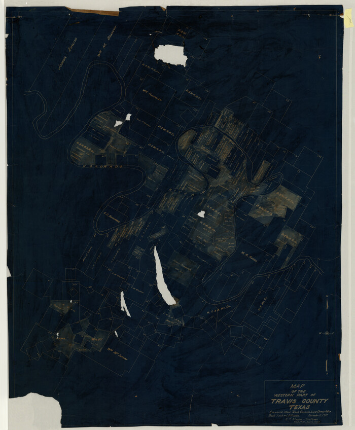
Map of the Western Part of Travis County, Texas
1919
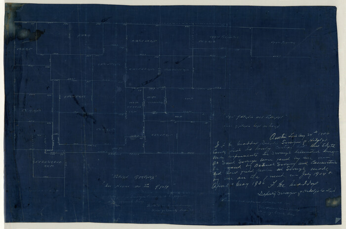
[Map Showing Estivan Martinez "Los Nerios de Tio Ayola" Survey and Surveys North Thereof, Brooks County, Texas]
1906
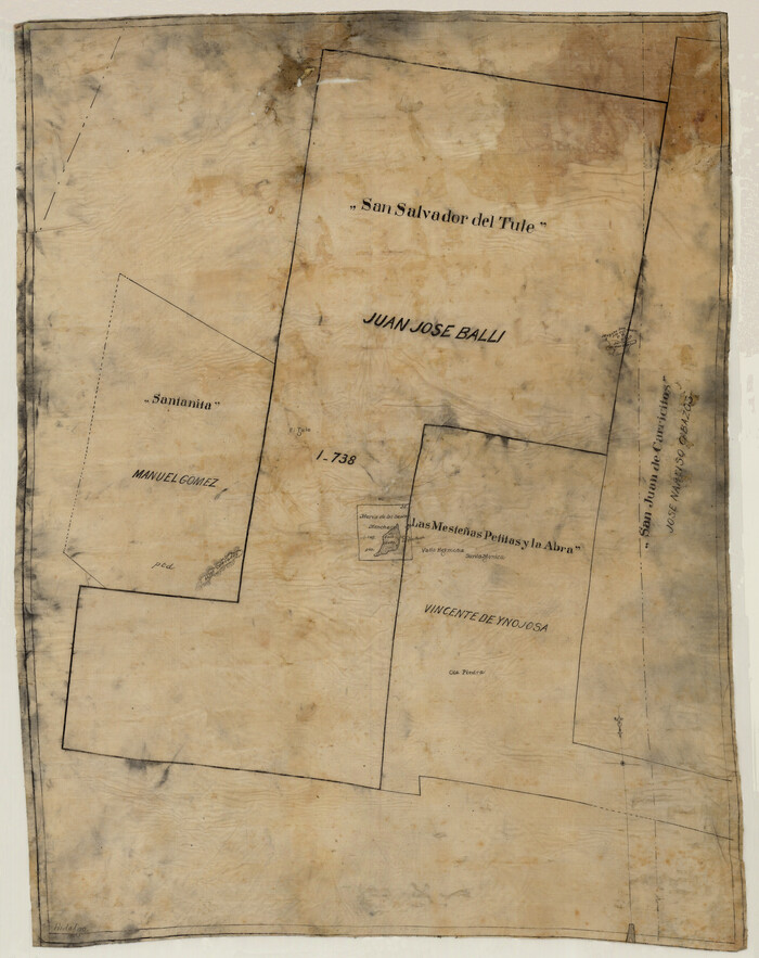
[Sketch of 'San Salvador del Tule', Juan Jose Balli Grant, Hidalgo County, Texas]
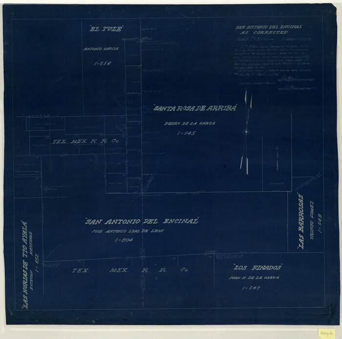
San Antonio del Encinal as Corrected
1916
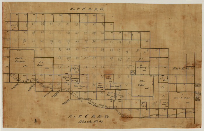
[Sketch of H & T C RR Co. Blocks north of the Canadian River, Hemphill County, Texas]
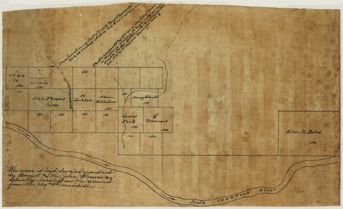
[Sketch Showing Surveys north of South Canadian River, Hemphill County, Texas]
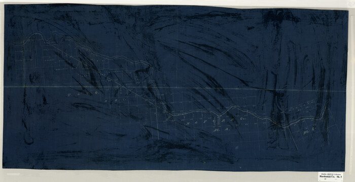
[Sketch Showing Surveys on Pease River in Hardeman County, Texas]
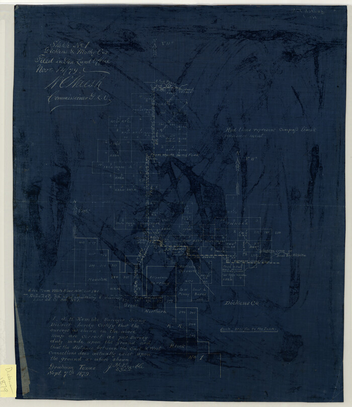
Sketch No. 1, Dickens & Motley Cos.
1879
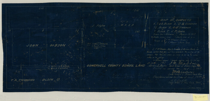
Map of Surveys 6, 7, & 8, Block 1, D.B. Gardner 7 1/2, Block L, D.B. Gardner 7, Block T, J.P. Goen
1917

Map of Survey 8, Block 1, D.B. Gardner
1915
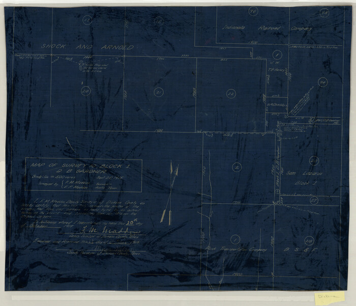
Map of Survey 10, Block 1, D.B. Gardner
1915

Sketch of Survey 3, Block 1 in Dickens and King Counties
1914
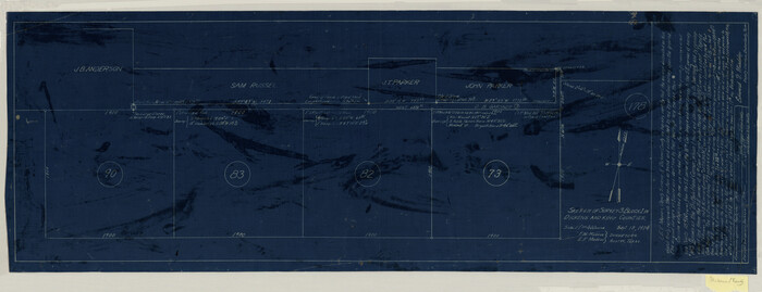
Sketch of Survey 3, Block 1 in Dickens and King Counties
1914

Survey 1, Block 1, D.B. Gardner in Dickens County
1914

Map Showing the position of surveys 1 & 2, B.S. & F. Cert 1/356
1915
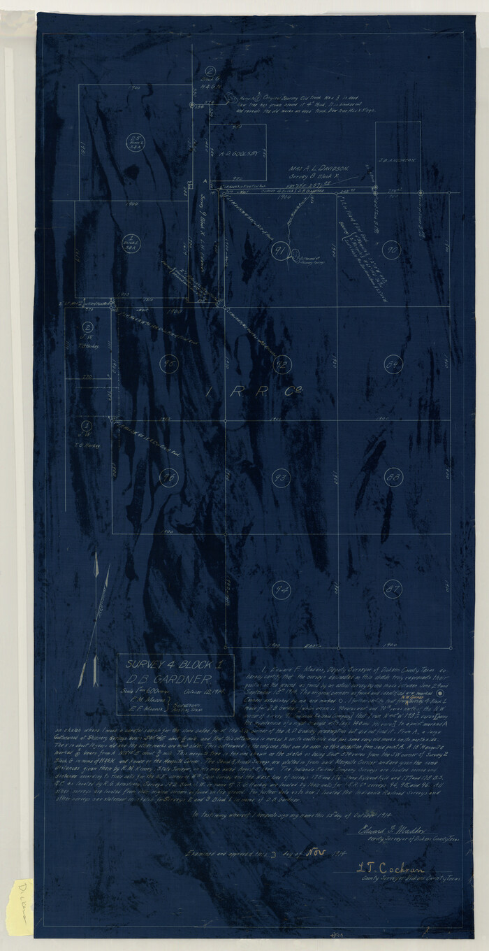
Survey 4, Block 1, D.B. Gardner
1914
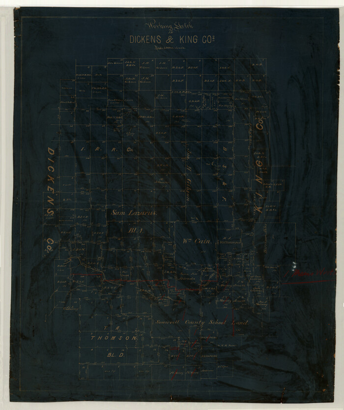
Working Sketch in Dickens & King Cos.
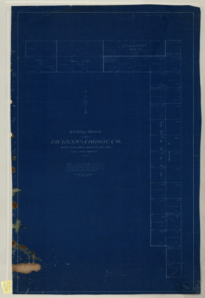
Working Sketch in Dickens and Crosby Cos.
1910
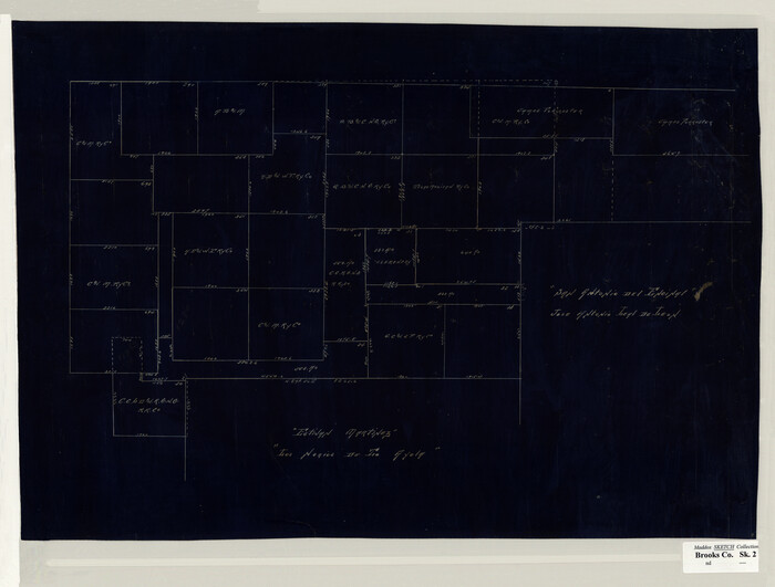
[San Antonio del Encinal Survey and Surveys West Thereof, Brooks County, Texas]
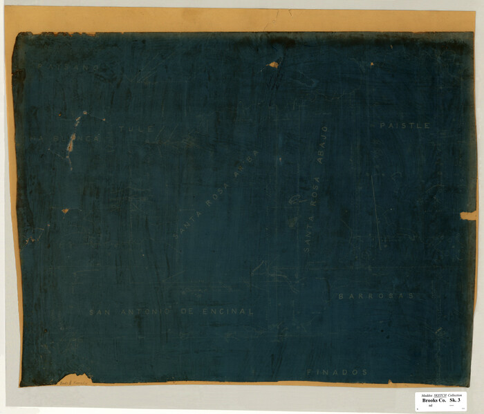
[Santa Rosa Leagues, Brooks & Kenedy Counties, Texas]
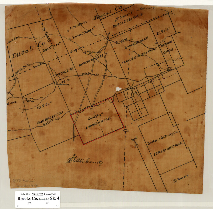
[Sketch of Surveys in Brooks County, Texas]

Part of original sketch of Block "H" W. & N. W. Ry. Co. Cottle County
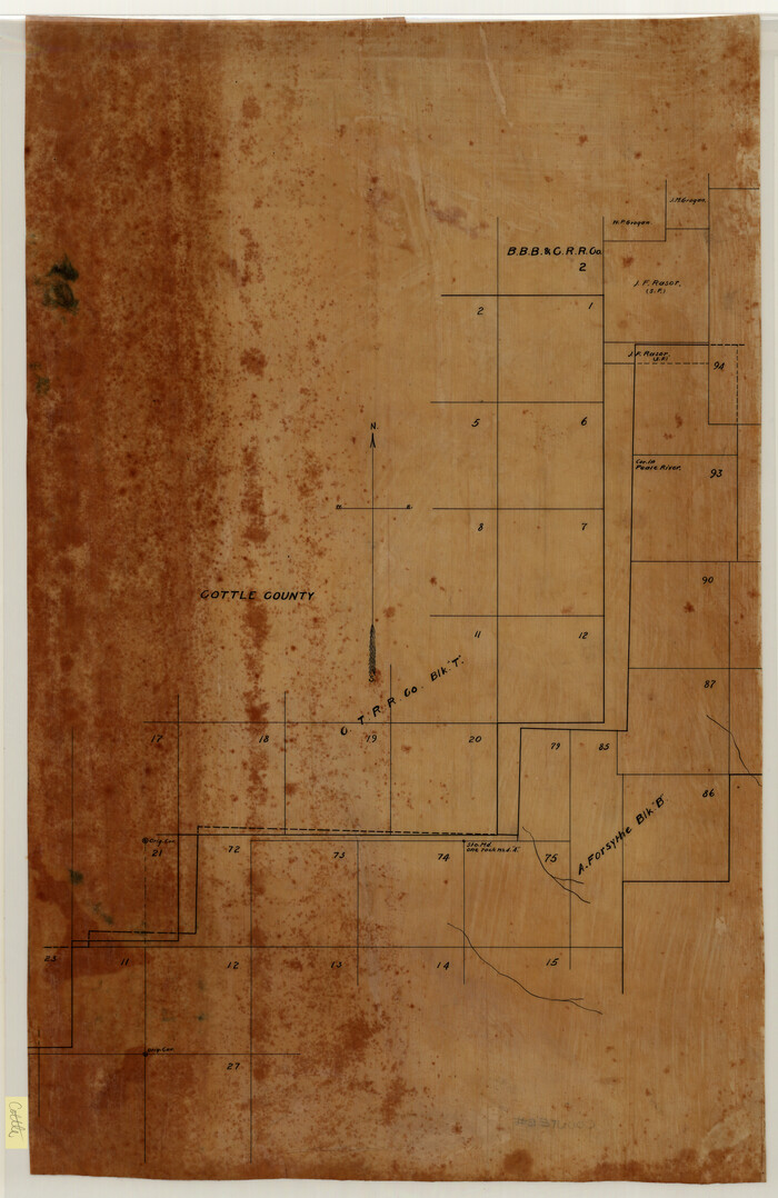
[CTRR Co. Block T, Cottle County, Texas]
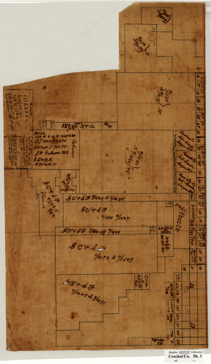
[Sketch of Surveys in Crockett County, Texas]
1880
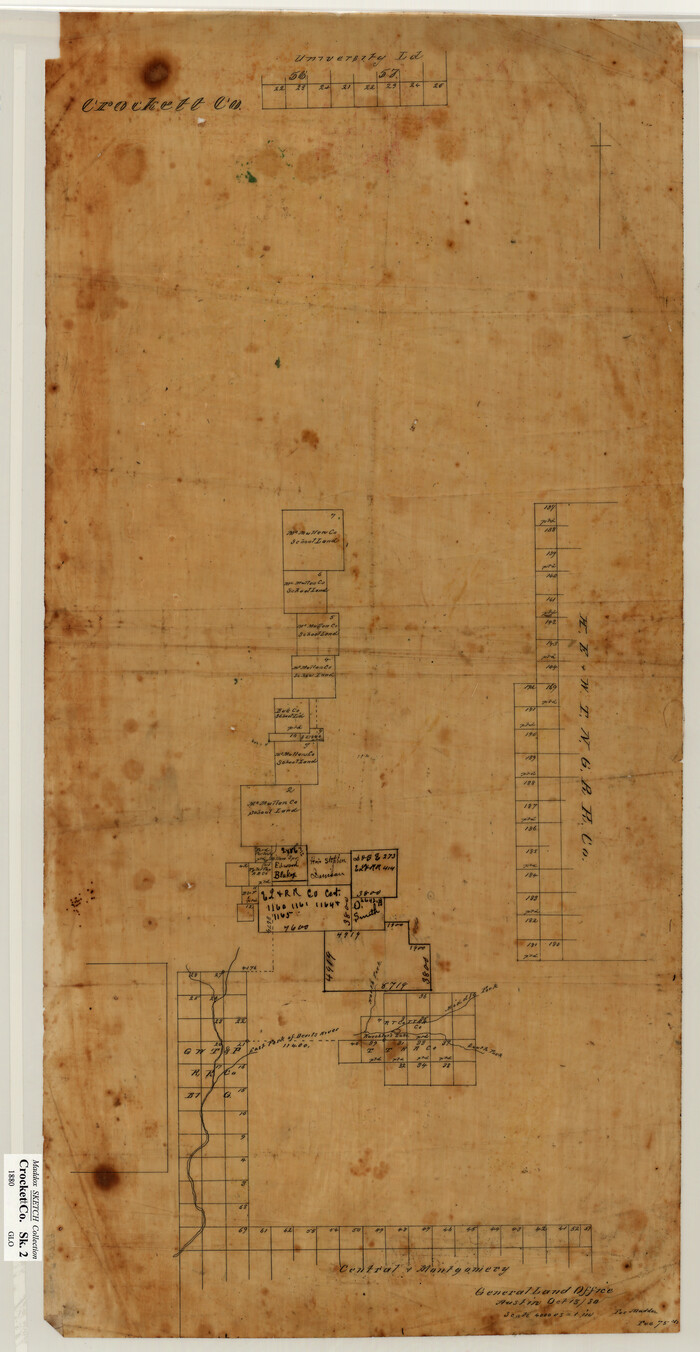
[Sketch showing surveys in Sutton and Val Verde Counties, Texas]
1880
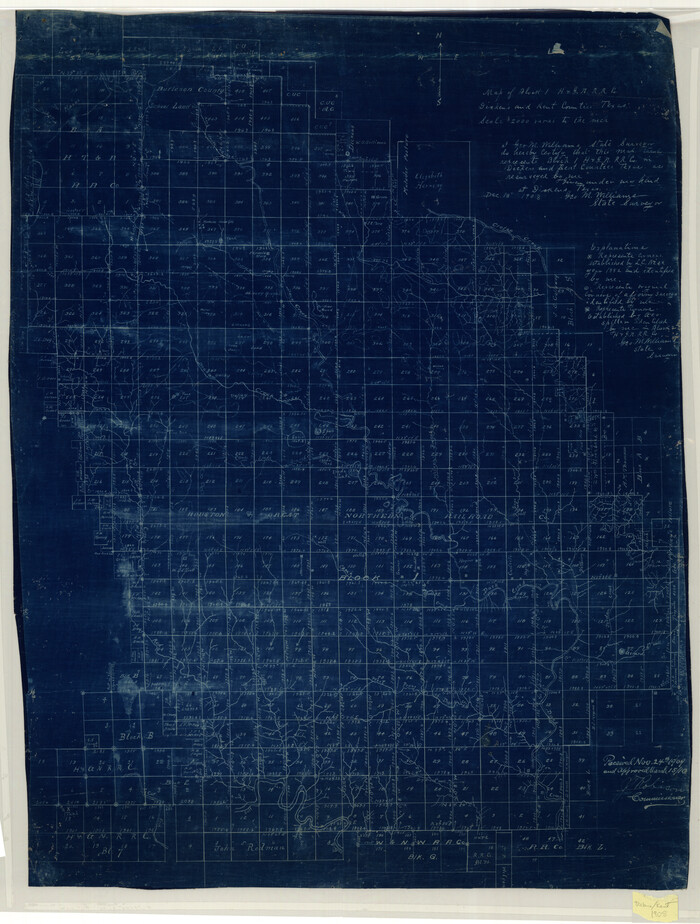
Map of Block 1, H. & G. N. R. R. Co., Dickens and Kent Counties Texas
1908
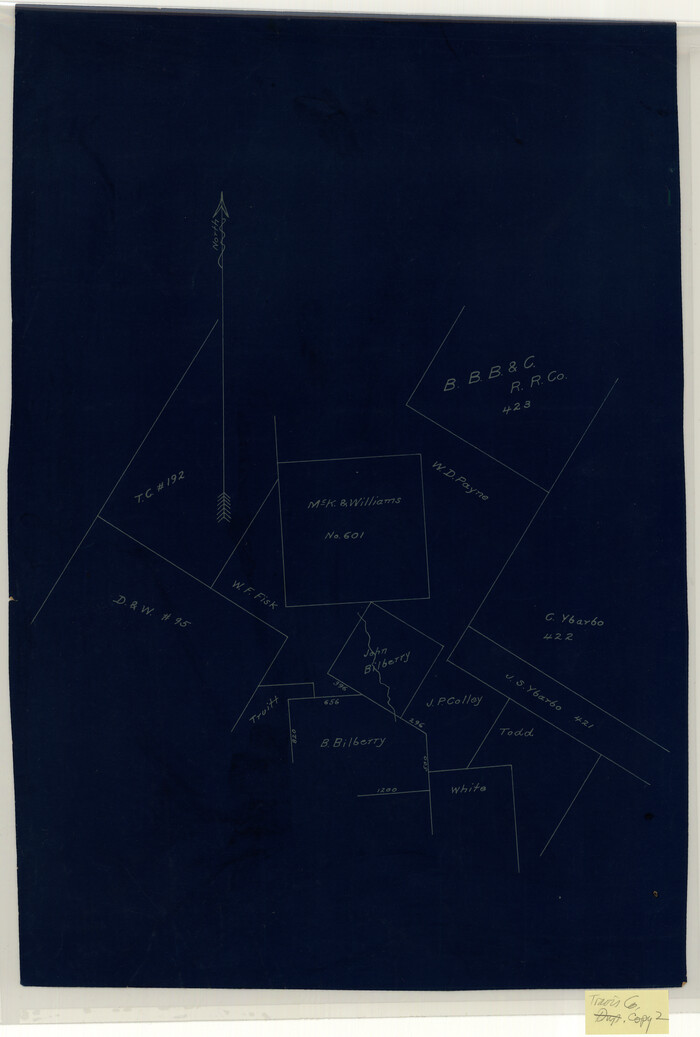
[McK. & Williams No. 601 and surrounding surveys, Travis County]
![10751, [George Tenille Grant, Brazoria County, Texas], Maddox Collection](https://historictexasmaps.com/wmedia_w700/maps/10751.tif.jpg)
[George Tenille Grant, Brazoria County, Texas]
-
Size
11.2 x 9.2 inches
-
Map/Doc
10751

Map of the C.C. Browning survey 412 enlarged from General Land Office map of the west part of Travis County, Texas
1920
-
Size
11.3 x 9.1 inches
-
Map/Doc
10752
-
Creation Date
1920
![10753, [Surveying sketch of S. Hayford, E. T. R.R. Co., T. C. R. R. Co., et al in Travis County, Texas], Maddox Collection](https://historictexasmaps.com/wmedia_w700/maps/10753.tif.jpg)
[Surveying sketch of S. Hayford, E. T. R.R. Co., T. C. R. R. Co., et al in Travis County, Texas]
-
Size
18.0 x 17.3 inches
-
Map/Doc
10753

Map of the Western Part of Travis County, Texas
1919
-
Size
36.2 x 29.9 inches
-
Map/Doc
10754
-
Creation Date
1919
![10755, [Map Showing Estivan Martinez "Los Nerios de Tio Ayola" Survey and Surveys North Thereof, Brooks County, Texas], Maddox Collection](https://historictexasmaps.com/wmedia_w700/maps/10755.tif.jpg)
[Map Showing Estivan Martinez "Los Nerios de Tio Ayola" Survey and Surveys North Thereof, Brooks County, Texas]
1906
-
Size
16.7 x 25.1 inches
-
Map/Doc
10755
-
Creation Date
1906
![10756, [Sketch of 'San Salvador del Tule', Juan Jose Balli Grant, Hidalgo County, Texas], Maddox Collection](https://historictexasmaps.com/wmedia_w700/maps/10756.tif.jpg)
[Sketch of 'San Salvador del Tule', Juan Jose Balli Grant, Hidalgo County, Texas]
-
Size
22.0 x 17.5 inches
-
Map/Doc
10756

San Antonio del Encinal as Corrected
1916
-
Size
31.2 x 31.5 inches
-
Map/Doc
10757
-
Creation Date
1916
![10758, [Sketch of H & T C RR Co. Blocks north of the Canadian River, Hemphill County, Texas], Maddox Collection](https://historictexasmaps.com/wmedia_w700/maps/10758-GC.tif.jpg)
[Sketch of H & T C RR Co. Blocks north of the Canadian River, Hemphill County, Texas]
-
Size
10.4 x 16.1 inches
-
Map/Doc
10758
![10759, [Sketch Showing Surveys north of South Canadian River, Hemphill County, Texas], Maddox Collection](https://historictexasmaps.com/wmedia_w700/maps/10759-GC.tif.jpg)
[Sketch Showing Surveys north of South Canadian River, Hemphill County, Texas]
-
Size
9.8 x 14.9 inches
-
Map/Doc
10759
![10760, [Sketch Showing Surveys on Pease River in Hardeman County, Texas], Maddox Collection](https://historictexasmaps.com/wmedia_w700/maps/10760.tif.jpg)
[Sketch Showing Surveys on Pease River in Hardeman County, Texas]
-
Size
19.2 x 37.5 inches
-
Map/Doc
10760

Sketch No. 1, Dickens & Motley Cos.
1879
-
Size
17.9 x 15.5 inches
-
Map/Doc
10761
-
Creation Date
1879

Map of Surveys 6, 7, & 8, Block 1, D.B. Gardner 7 1/2, Block L, D.B. Gardner 7, Block T, J.P. Goen
1917
-
Size
11.0 x 22.6 inches
-
Map/Doc
10762
-
Creation Date
1917

Map of Survey 8, Block 1, D.B. Gardner
1915
-
Size
13.0 x 18.8 inches
-
Map/Doc
10763
-
Creation Date
1915

Map of Survey 10, Block 1, D.B. Gardner
1915
-
Size
16.1 x 18.7 inches
-
Map/Doc
10764
-
Creation Date
1915

Sketch of Survey 3, Block 1 in Dickens and King Counties
1914
-
Size
10.0 x 27.5 inches
-
Map/Doc
10765
-
Creation Date
1914

Sketch of Survey 3, Block 1 in Dickens and King Counties
1914
-
Size
10.8 x 28.2 inches
-
Map/Doc
10766
-
Creation Date
1914

Survey 1, Block 1, D.B. Gardner in Dickens County
1914
-
Size
14.9 x 30.4 inches
-
Map/Doc
10767
-
Creation Date
1914

Map Showing the position of surveys 1 & 2, B.S. & F. Cert 1/356
1915
-
Size
22.0 x 11.1 inches
-
Map/Doc
10768
-
Creation Date
1915

Survey 4, Block 1, D.B. Gardner
1914
-
Size
26.6 x 13.7 inches
-
Map/Doc
10769
-
Creation Date
1914

Working Sketch in Dickens & King Cos.
-
Size
24.4 x 20.4 inches
-
Map/Doc
10770

Working Sketch in Dickens and Crosby Cos.
1910
-
Size
36.1 x 24.8 inches
-
Map/Doc
10771
-
Creation Date
1910
![10773, [San Antonio del Encinal Survey and Surveys West Thereof, Brooks County, Texas], Maddox Collection](https://historictexasmaps.com/wmedia_w700/maps/10773.tif.jpg)
[San Antonio del Encinal Survey and Surveys West Thereof, Brooks County, Texas]
-
Size
18.6 x 24.6 inches
-
Map/Doc
10773
![10774, [Santa Rosa Leagues, Brooks & Kenedy Counties, Texas], Maddox Collection](https://historictexasmaps.com/wmedia_w700/maps/10774.tif.jpg)
[Santa Rosa Leagues, Brooks & Kenedy Counties, Texas]
-
Size
21.0 x 24.6 inches
-
Map/Doc
10774
![10775, [Sketch of Surveys in Brooks County, Texas], Maddox Collection](https://historictexasmaps.com/wmedia_w700/maps/10775.tif.jpg)
[Sketch of Surveys in Brooks County, Texas]
-
Size
12.1 x 12.4 inches
-
Map/Doc
10775

Part of original sketch of Block "H" W. & N. W. Ry. Co. Cottle County
-
Size
13.7 x 14.6 inches
-
Map/Doc
10776
![10777, [CTRR Co. Block T, Cottle County, Texas], Maddox Collection](https://historictexasmaps.com/wmedia_w700/maps/10777.tif.jpg)
[CTRR Co. Block T, Cottle County, Texas]
-
Size
21.5 x 14.0 inches
-
Map/Doc
10777
![10778, [Sketch of Surveys in Crockett County, Texas], Maddox Collection](https://historictexasmaps.com/wmedia_w700/maps/10778.tif.jpg)
[Sketch of Surveys in Crockett County, Texas]
1880
-
Size
12.7 x 21.3 inches
-
Map/Doc
10778
-
Creation Date
1880
![10779, [Sketch showing surveys in Sutton and Val Verde Counties, Texas], Maddox Collection](https://historictexasmaps.com/wmedia_w700/maps/10779.tif.jpg)
[Sketch showing surveys in Sutton and Val Verde Counties, Texas]
1880
-
Size
28.0 x 14.5 inches
-
Map/Doc
10779
-
Creation Date
1880

Map of Block 1, H. & G. N. R. R. Co., Dickens and Kent Counties Texas
1908
-
Size
32.0 x 24.2 inches
-
Map/Doc
10780
-
Creation Date
1908
![10782, [McK. & Williams No. 601 and surrounding surveys, Travis County], Maddox Collection](https://historictexasmaps.com/wmedia_w700/maps/10782.tif.jpg)
[McK. & Williams No. 601 and surrounding surveys, Travis County]
-
Size
18.3 x 12.3 inches
-
Map/Doc
10782