[CTRR Co. Block T, Cottle County, Texas]
-
Map/Doc
10777
-
Collection
Maddox Collection
-
Counties
Cottle
-
Height x Width
21.5 x 14.0 inches
54.6 x 35.6 cm
-
Medium
paper, manuscript
Part of: Maddox Collection
[Surveying sketch of P. Castleman, H. George, et al in Wichita County]
![389, [Surveying sketch of P. Castleman, H. George, et al in Wichita County], Maddox Collection](https://historictexasmaps.com/wmedia_w700/maps/0389-1.tif.jpg)
![389, [Surveying sketch of P. Castleman, H. George, et al in Wichita County], Maddox Collection](https://historictexasmaps.com/wmedia_w700/maps/0389-1.tif.jpg)
Print $20.00
- Digital $50.00
[Surveying sketch of P. Castleman, H. George, et al in Wichita County]
Size 12.6 x 24.5 inches
Map/Doc 389
Map of the north west portion of Hutchinson County showing the proposed resurvey of Block M24


Print $20.00
- Digital $50.00
Map of the north west portion of Hutchinson County showing the proposed resurvey of Block M24
Size 29.1 x 31.9 inches
Map/Doc 75814
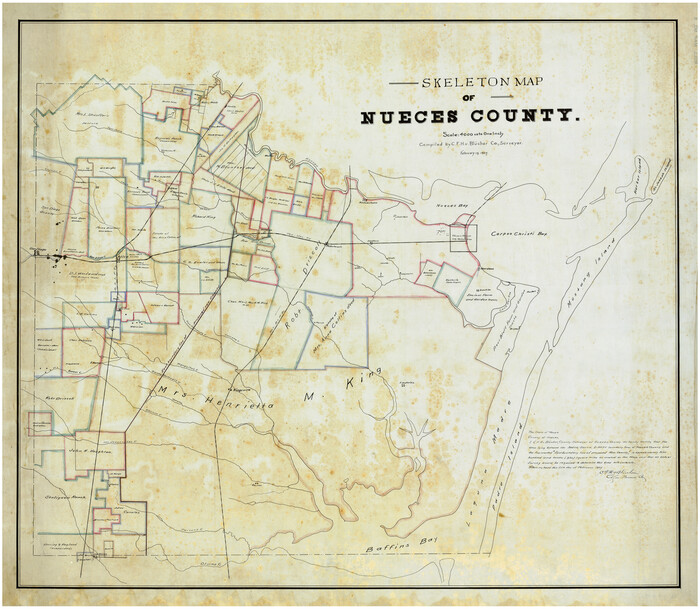
Skeleton Map of Nueces County

Print $20.00
- Digital $50.00
Skeleton Map of Nueces County
1907
Size 32.4 x 37.3 inches
Map/Doc 593
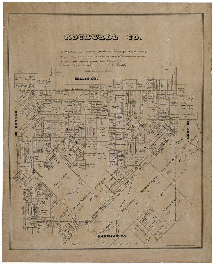
Rockwall County, Texas

Print $20.00
- Digital $50.00
Rockwall County, Texas
1880
Size 22.7 x 19.3 inches
Map/Doc 750
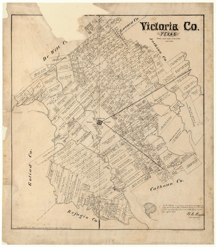
Victoria County, Texas

Print $20.00
- Digital $50.00
Victoria County, Texas
1879
Size 26.5 x 22.8 inches
Map/Doc 511
Hansford County, Texas


Print $20.00
- Digital $50.00
Hansford County, Texas
1888
Size 22.6 x 18.6 inches
Map/Doc 5033
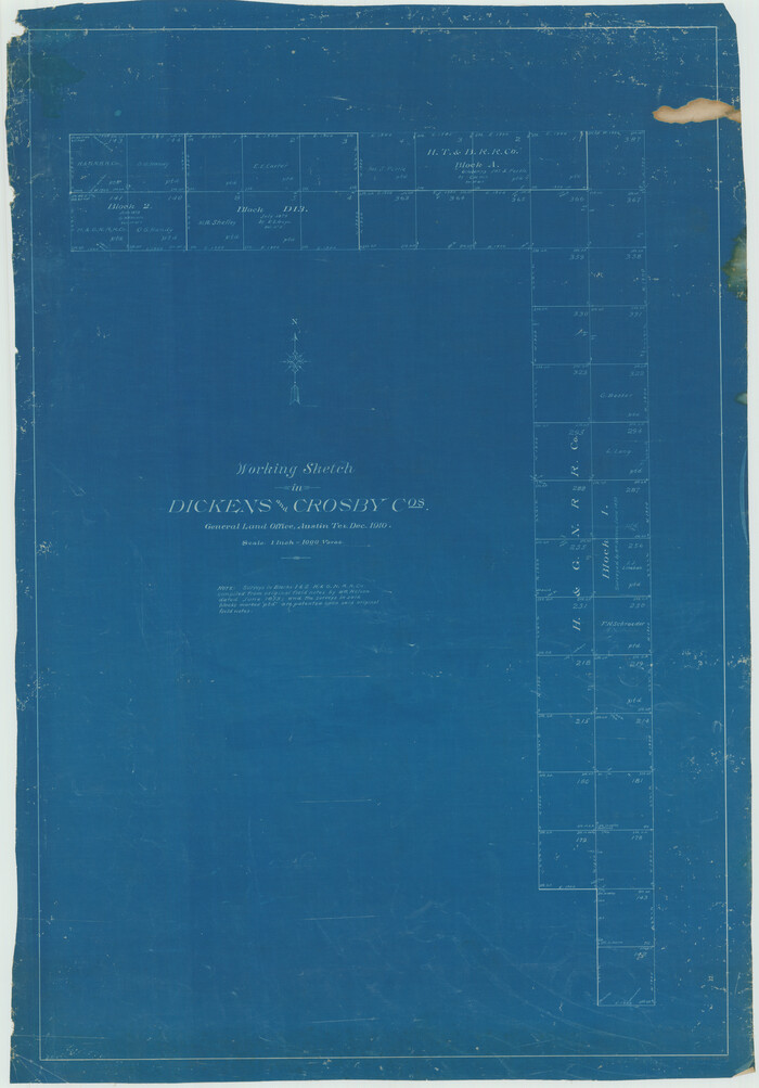
Working Sketch in Dickens and Crosby Cos.

Print $20.00
- Digital $50.00
Working Sketch in Dickens and Crosby Cos.
1910
Size 35.5 x 24.8 inches
Map/Doc 75799
Sketch of Motley Co.


Print $20.00
- Digital $50.00
Sketch of Motley Co.
1883
Size 19.7 x 20.2 inches
Map/Doc 75560
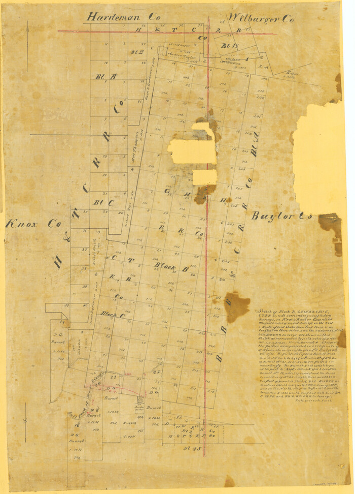
Sketch of Block B, GH & H RR & Blk C, CT RR Co, with surrounding & conflicting surveys in Knox & Baylor Counties

Print $20.00
- Digital $50.00
Sketch of Block B, GH & H RR & Blk C, CT RR Co, with surrounding & conflicting surveys in Knox & Baylor Counties
Size 24.9 x 17.9 inches
Map/Doc 75784
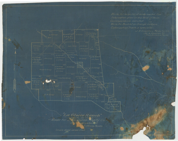
"La Gloria Ranch", Duval Co. Texas

Print $20.00
- Digital $50.00
"La Gloria Ranch", Duval Co. Texas
Size 12.0 x 15.1 inches
Map/Doc 431
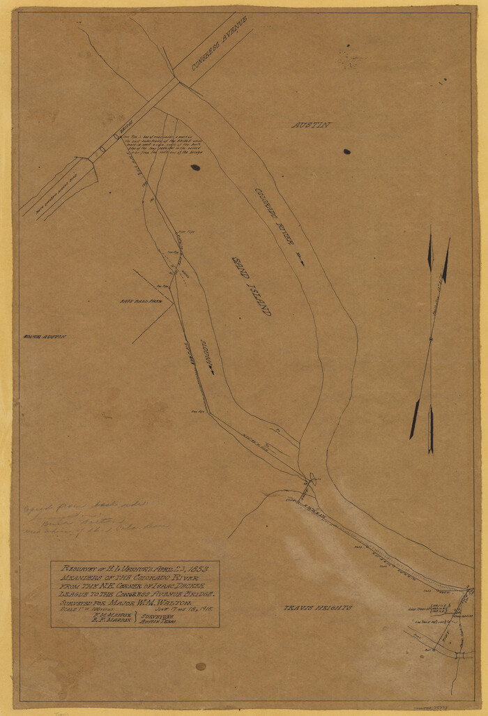
Resurvey of H.L. Upshur's April 23, 1853 meanders of the Colorado River from the NE corner of Isaac Decker league to the Congress Avenue Bridge

Print $20.00
- Digital $50.00
Resurvey of H.L. Upshur's April 23, 1853 meanders of the Colorado River from the NE corner of Isaac Decker league to the Congress Avenue Bridge
1915
Size 24.0 x 16.3 inches
Map/Doc 75773
[Surveying sketch of S. Hayford, E. T. R.R. Co., T. C. R. R. Co., et al in Travis County, Texas]
![10753, [Surveying sketch of S. Hayford, E. T. R.R. Co., T. C. R. R. Co., et al in Travis County, Texas], Maddox Collection](https://historictexasmaps.com/wmedia_w700/maps/10753.tif.jpg)
![10753, [Surveying sketch of S. Hayford, E. T. R.R. Co., T. C. R. R. Co., et al in Travis County, Texas], Maddox Collection](https://historictexasmaps.com/wmedia_w700/maps/10753.tif.jpg)
Print $20.00
- Digital $50.00
[Surveying sketch of S. Hayford, E. T. R.R. Co., T. C. R. R. Co., et al in Travis County, Texas]
Size 18.0 x 17.3 inches
Map/Doc 10753
You may also like
Refugio County Rolled Sketch 4


Print $40.00
- Digital $50.00
Refugio County Rolled Sketch 4
1941
Size 55.7 x 46.4 inches
Map/Doc 9958
Flight Mission No. BRE-2P, Frame 68, Nueces County

Print $20.00
- Digital $50.00
Flight Mission No. BRE-2P, Frame 68, Nueces County
1956
Size 18.6 x 22.4 inches
Map/Doc 86763
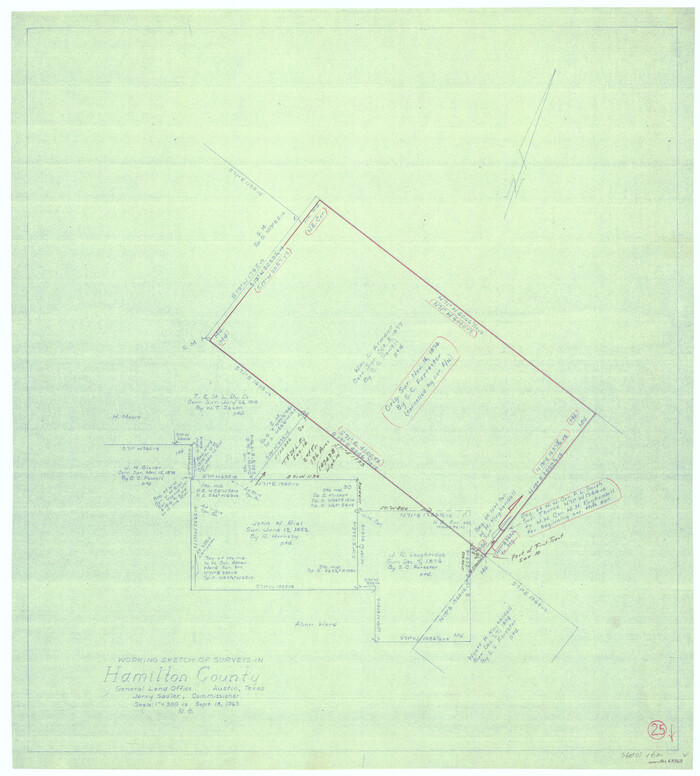
Hamilton County Working Sketch 25

Print $20.00
- Digital $50.00
Hamilton County Working Sketch 25
1963
Size 29.5 x 26.6 inches
Map/Doc 63363
Crockett County Rolled Sketch 76


Print $20.00
- Digital $50.00
Crockett County Rolled Sketch 76
1950
Size 24.6 x 26.1 inches
Map/Doc 5617
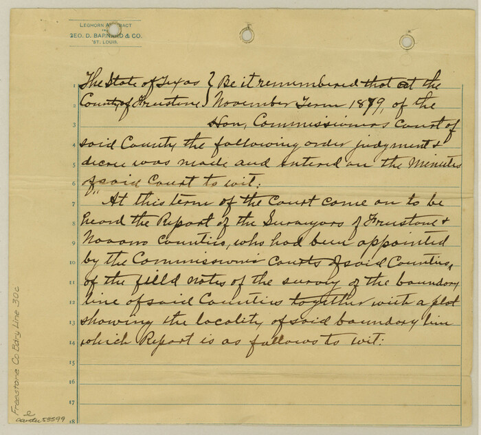
Freestone County Boundary File 30c

Print $18.00
- Digital $50.00
Freestone County Boundary File 30c
Size 7.9 x 8.8 inches
Map/Doc 53599
Anderson County Boundary File 7


Print $10.00
- Digital $50.00
Anderson County Boundary File 7
Size 14.4 x 8.9 inches
Map/Doc 49751
Brazoria County Working Sketch 34


Print $20.00
- Digital $50.00
Brazoria County Working Sketch 34
1981
Size 15.8 x 19.0 inches
Map/Doc 67519
San Jacinto County Working Sketch 45


Print $20.00
- Digital $50.00
San Jacinto County Working Sketch 45
1986
Size 41.0 x 46.7 inches
Map/Doc 63759
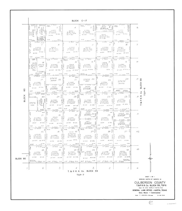
Culberson County Working Sketch 89

Print $20.00
- Digital $50.00
Culberson County Working Sketch 89
1984
Size 34.6 x 30.0 inches
Map/Doc 68543
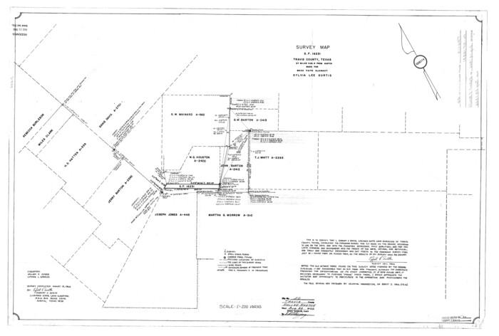
Travis County Rolled Sketch 46

Print $20.00
- Digital $50.00
Travis County Rolled Sketch 46
1966
Size 25.4 x 37.6 inches
Map/Doc 8043
Right-of-Way and Track Map, Texas State Railroad operated by the T. and N. O. R.R. Co.


Print $40.00
- Digital $50.00
Right-of-Way and Track Map, Texas State Railroad operated by the T. and N. O. R.R. Co.
1917
Size 24.8 x 56.3 inches
Map/Doc 64173
Floyd County Working Sketch 3


Print $20.00
- Digital $50.00
Floyd County Working Sketch 3
1948
Size 27.4 x 22.8 inches
Map/Doc 69182
![10777, [CTRR Co. Block T, Cottle County, Texas], Maddox Collection](https://historictexasmaps.com/wmedia_w1800h1800/maps/10777.tif.jpg)