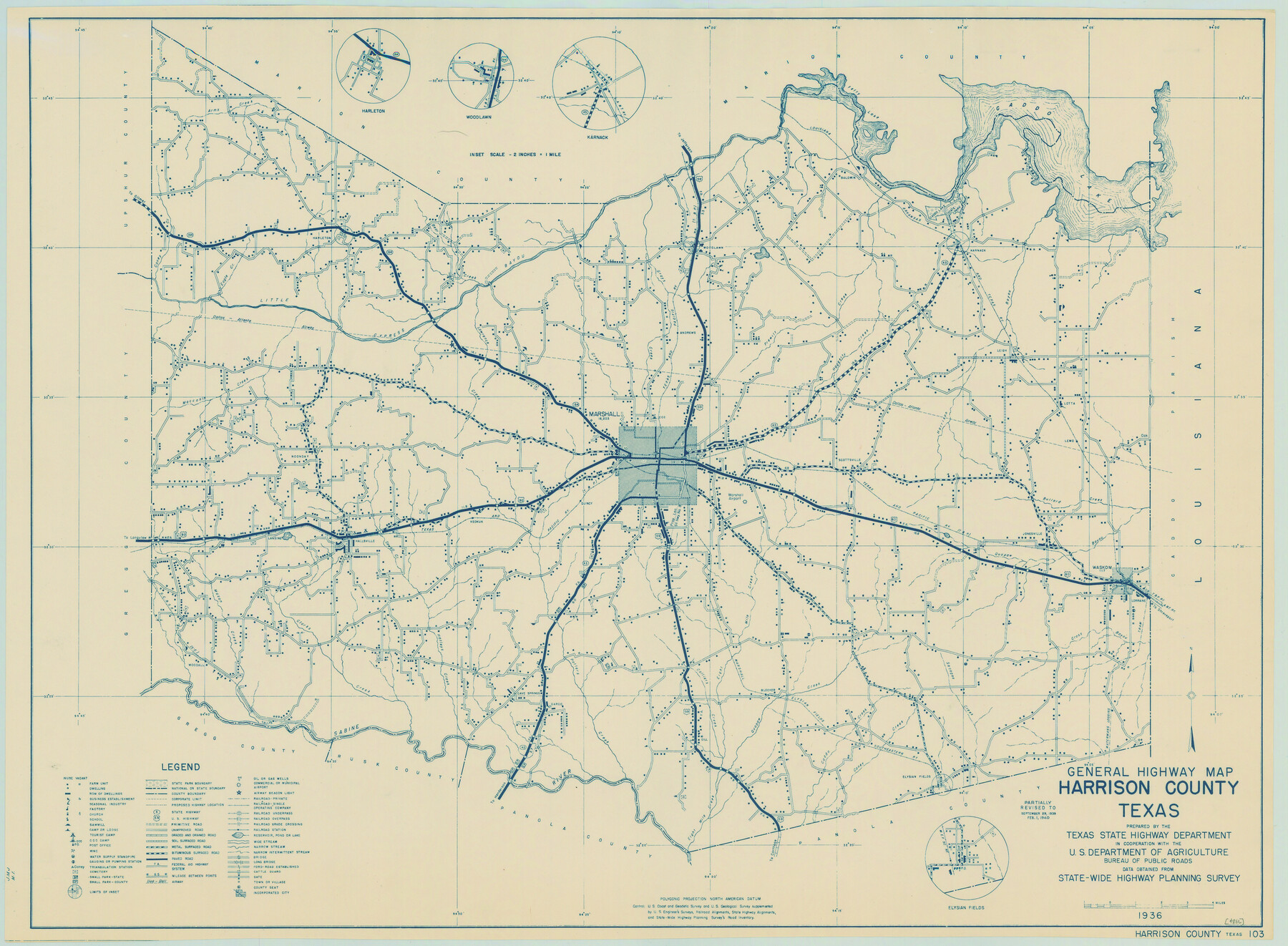
General Highway Map, Harrison County, Texas
-
Map/Doc
79121
-
Collection
Texas State Library and Archives
-
Object Dates
1940 (Creation Date)
-
People and Organizations
Texas State Highway Department (Publisher)
-
Counties
Harrison
-
Subjects
County
-
Height x Width
18.2 x 24.8 inches
46.2 x 63.0 cm
-
Comments
Prints available courtesy of the Texas State Library and Archives.
More info can be found here: TSLAC Map 04886
Part of: Texas State Library and Archives
General Highway Map, Mitchell County, Texas

Print $20.00
General Highway Map, Mitchell County, Texas
1961
Size 18.1 x 24.6 inches
Map/Doc 79600
General Highway Map, Jasper County, Texas

Print $20.00
General Highway Map, Jasper County, Texas
1961
Size 18.2 x 24.8 inches
Map/Doc 79534
General Highway Map. Detail of Cities and Towns in Montgomery County, Texas

Print $20.00
General Highway Map. Detail of Cities and Towns in Montgomery County, Texas
1961
Size 18.1 x 24.5 inches
Map/Doc 79603
General Highway Map, Medina County, Texas

Print $20.00
General Highway Map, Medina County, Texas
1961
Size 18.2 x 25.0 inches
Map/Doc 79594
General Highway Map, Polk County, Texas

Print $20.00
General Highway Map, Polk County, Texas
1961
Size 18.2 x 24.4 inches
Map/Doc 79629
Reconnoissance of Sabine Pass

Print $20.00
Reconnoissance of Sabine Pass
1853
Size 12.4 x 10.3 inches
Map/Doc 76281
General Highway Map, Eastland County, Texas

Print $20.00
General Highway Map, Eastland County, Texas
1961
Size 18.2 x 24.7 inches
Map/Doc 79450
General Highway Map, Hidalgo County, Texas

Print $20.00
General Highway Map, Hidalgo County, Texas
1961
Size 18.2 x 24.8 inches
Map/Doc 79519
General Highway Map, Hill County, Texas

Print $20.00
General Highway Map, Hill County, Texas
1961
Size 24.5 x 18.2 inches
Map/Doc 79520
General Highway Map, Karnes County, Texas

Print $20.00
General Highway Map, Karnes County, Texas
1961
Size 18.1 x 24.6 inches
Map/Doc 79547
Principal Highways of the Southwest with particular reference to New Mexico, Oklahoma, Texas, Arkansas and Louisiana

Print $20.00
Principal Highways of the Southwest with particular reference to New Mexico, Oklahoma, Texas, Arkansas and Louisiana
1933
Size 24.3 x 18.4 inches
Map/Doc 76302
General Highway Map, Duval County, Texas

Print $20.00
General Highway Map, Duval County, Texas
1961
Size 18.1 x 24.5 inches
Map/Doc 79449
You may also like
Sutton County Sketch File JAC (1)

Print $6.00
- Digital $50.00
Sutton County Sketch File JAC (1)
1937
Size 14.3 x 8.8 inches
Map/Doc 37502
Liberty County Working Sketch 59

Print $40.00
- Digital $50.00
Liberty County Working Sketch 59
1968
Size 38.1 x 87.1 inches
Map/Doc 70519
[Sketch Showing Blocks in Hansford County, Texas]
![75819, [Sketch Showing Blocks in Hansford County, Texas], Maddox Collection](https://historictexasmaps.com/wmedia_w700/maps/75819.tif.jpg)
Print $20.00
- Digital $50.00
[Sketch Showing Blocks in Hansford County, Texas]
1890
Size 34.1 x 25.3 inches
Map/Doc 75819
Midland County Rolled Sketch 2

Print $20.00
- Digital $50.00
Midland County Rolled Sketch 2
1949
Size 39.3 x 36.5 inches
Map/Doc 9513
Brown County Sketch File 30

Print $27.00
- Digital $50.00
Brown County Sketch File 30
1924
Size 12.7 x 11.0 inches
Map/Doc 16631
Young County Working Sketch 13

Print $20.00
- Digital $50.00
Young County Working Sketch 13
1938
Size 46.0 x 40.4 inches
Map/Doc 62036
From Citizens Living in What Was to Become Fannin County for the Creation of a New County (Unnamed), Undated

Print $20.00
From Citizens Living in What Was to Become Fannin County for the Creation of a New County (Unnamed), Undated
2020
Size 17.6 x 21.7 inches
Map/Doc 96400
Sutton County

Print $40.00
- Digital $50.00
Sutton County
1941
Size 42.3 x 56.8 inches
Map/Doc 63052
General Highway Map, Colorado County, Texas

Print $20.00
General Highway Map, Colorado County, Texas
1940
Size 25.1 x 18.5 inches
Map/Doc 79054
Newton County

Print $40.00
- Digital $50.00
Newton County
1946
Size 48.7 x 42.6 inches
Map/Doc 73250
Flight Mission No. DAG-21K, Frame 119, Matagorda County

Print $20.00
- Digital $50.00
Flight Mission No. DAG-21K, Frame 119, Matagorda County
1952
Size 18.6 x 22.5 inches
Map/Doc 86445
Shelby County Sketch File 16 1/2

Print $4.00
- Digital $50.00
Shelby County Sketch File 16 1/2
Size 7.6 x 5.3 inches
Map/Doc 36629