[Sketch showing San Augustine, Morris, Stephens and Eastland School Land Leagues and adjacent Blocks]
CR116
-
Map/Doc
89918
-
Collection
Twichell Survey Records
-
Counties
Crosby
-
Height x Width
54.7 x 43.5 inches
138.9 x 110.5 cm
Part of: Twichell Survey Records
This Map Shows the Surveys 61 to 69 by Dod's Monuments in Accordance with Dod's Course in Stanolind vs. State


Print $2.00
- Digital $50.00
This Map Shows the Surveys 61 to 69 by Dod's Monuments in Accordance with Dod's Course in Stanolind vs. State
Size 15.7 x 9.0 inches
Map/Doc 91687
[South part of Bailey County showing School Leagues]
![92992, [South part of Bailey County showing School Leagues], Twichell Survey Records](https://historictexasmaps.com/wmedia_w700/maps/92992-1.tif.jpg)
![92992, [South part of Bailey County showing School Leagues], Twichell Survey Records](https://historictexasmaps.com/wmedia_w700/maps/92992-1.tif.jpg)
Print $2.00
- Digital $50.00
[South part of Bailey County showing School Leagues]
1913
Size 12.1 x 8.1 inches
Map/Doc 92992
[Blocks M19, M3 & M20]
![91819, [Blocks M19, M3 & M20], Twichell Survey Records](https://historictexasmaps.com/wmedia_w700/maps/91819-1.tif.jpg)
![91819, [Blocks M19, M3 & M20], Twichell Survey Records](https://historictexasmaps.com/wmedia_w700/maps/91819-1.tif.jpg)
Print $20.00
- Digital $50.00
[Blocks M19, M3 & M20]
Size 47.3 x 20.0 inches
Map/Doc 91819
[H. & T. C. RR. Company, Block 47 and vicinity]
![91246, [H. & T. C. RR. Company, Block 47 and vicinity], Twichell Survey Records](https://historictexasmaps.com/wmedia_w700/maps/91246-1.tif.jpg)
![91246, [H. & T. C. RR. Company, Block 47 and vicinity], Twichell Survey Records](https://historictexasmaps.com/wmedia_w700/maps/91246-1.tif.jpg)
Print $20.00
- Digital $50.00
[H. & T. C. RR. Company, Block 47 and vicinity]
Size 37.6 x 26.3 inches
Map/Doc 91246
[Blocks A-10, A-11, and A-12]
![92669, [Blocks A-10, A-11, and A-12], Twichell Survey Records](https://historictexasmaps.com/wmedia_w700/maps/92669-1.tif.jpg)
![92669, [Blocks A-10, A-11, and A-12], Twichell Survey Records](https://historictexasmaps.com/wmedia_w700/maps/92669-1.tif.jpg)
Print $20.00
- Digital $50.00
[Blocks A-10, A-11, and A-12]
Size 19.7 x 20.0 inches
Map/Doc 92669
[Sabine County School Land and Blocks A4, W, and DT]
![92697, [Sabine County School Land and Blocks A4, W, and DT], Twichell Survey Records](https://historictexasmaps.com/wmedia_w700/maps/92697-1.tif.jpg)
![92697, [Sabine County School Land and Blocks A4, W, and DT], Twichell Survey Records](https://historictexasmaps.com/wmedia_w700/maps/92697-1.tif.jpg)
Print $20.00
- Digital $50.00
[Sabine County School Land and Blocks A4, W, and DT]
Size 18.9 x 15.6 inches
Map/Doc 92697
[Survey 321, Double Lakes Area Northwest of Tohoka]
![91347, [Survey 321, Double Lakes Area Northwest of Tohoka], Twichell Survey Records](https://historictexasmaps.com/wmedia_w700/maps/91347-1.tif.jpg)
![91347, [Survey 321, Double Lakes Area Northwest of Tohoka], Twichell Survey Records](https://historictexasmaps.com/wmedia_w700/maps/91347-1.tif.jpg)
Print $20.00
- Digital $50.00
[Survey 321, Double Lakes Area Northwest of Tohoka]
Size 35.0 x 32.2 inches
Map/Doc 91347
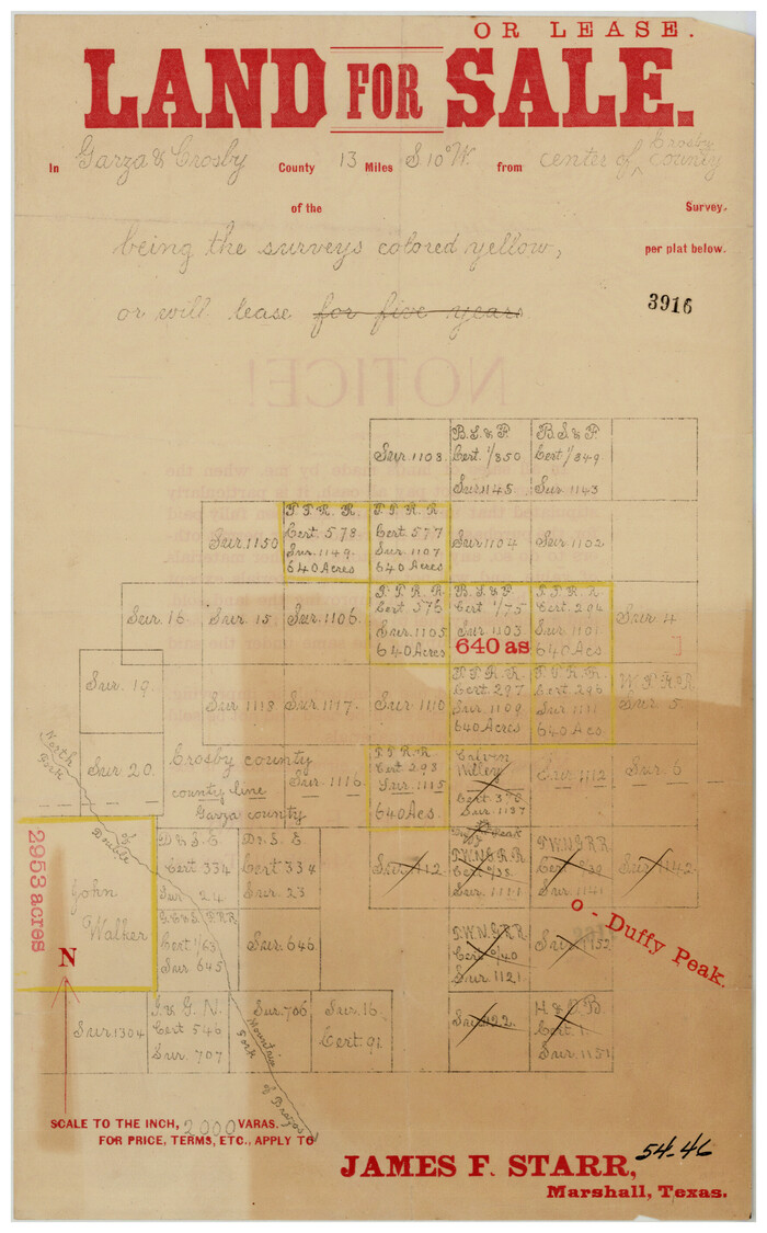
Land for Sale or Lease in Garza and Crosby County, 13 miles S 10° W from center of Crosby County

Print $2.00
- Digital $50.00
Land for Sale or Lease in Garza and Crosby County, 13 miles S 10° W from center of Crosby County
Size 9.0 x 14.3 inches
Map/Doc 90367
State Map of Kansas Showing Productive Geological Formation of Each Oil Field


Print $20.00
- Digital $50.00
State Map of Kansas Showing Productive Geological Formation of Each Oil Field
1937
Size 45.5 x 29.8 inches
Map/Doc 92043
[Northwest part of County]
![90616, [Northwest part of County], Twichell Survey Records](https://historictexasmaps.com/wmedia_w700/maps/90616-1.tif.jpg)
![90616, [Northwest part of County], Twichell Survey Records](https://historictexasmaps.com/wmedia_w700/maps/90616-1.tif.jpg)
Print $20.00
- Digital $50.00
[Northwest part of County]
Size 17.4 x 22.5 inches
Map/Doc 90616
[Northeast 1/4 County]
![90876, [Northeast 1/4 County], Twichell Survey Records](https://historictexasmaps.com/wmedia_w700/maps/90876-2.tif.jpg)
![90876, [Northeast 1/4 County], Twichell Survey Records](https://historictexasmaps.com/wmedia_w700/maps/90876-2.tif.jpg)
Print $20.00
- Digital $50.00
[Northeast 1/4 County]
Size 11.9 x 20.3 inches
Map/Doc 90876
[Lgs. 110-112, 678-680 with ties to County Line]
![90157, [Lgs. 110-112, 678-680 with ties to County Line], Twichell Survey Records](https://historictexasmaps.com/wmedia_w700/maps/90157-1.tif.jpg)
![90157, [Lgs. 110-112, 678-680 with ties to County Line], Twichell Survey Records](https://historictexasmaps.com/wmedia_w700/maps/90157-1.tif.jpg)
Print $20.00
- Digital $50.00
[Lgs. 110-112, 678-680 with ties to County Line]
Size 37.7 x 22.9 inches
Map/Doc 90157
You may also like
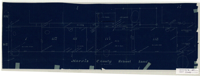
Crosby County Sketch File 27

Print $20.00
- Digital $50.00
Crosby County Sketch File 27
Size 8.8 x 23.0 inches
Map/Doc 11256
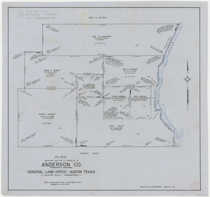
Anderson County Working Sketch 22

Print $20.00
- Digital $50.00
Anderson County Working Sketch 22
1954
Size 22.7 x 24.2 inches
Map/Doc 67022
Fort Bend County Sketch File 3a


Print $6.00
- Digital $50.00
Fort Bend County Sketch File 3a
1874
Size 8.3 x 8.0 inches
Map/Doc 22882
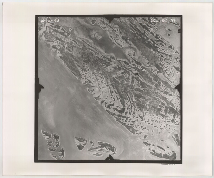
Flight Mission No. DCL-6C, Frame 70, Kenedy County

Print $20.00
- Digital $50.00
Flight Mission No. DCL-6C, Frame 70, Kenedy County
1943
Size 18.6 x 22.3 inches
Map/Doc 85912
Bexar County Boundary File 3


Print $6.00
- Digital $50.00
Bexar County Boundary File 3
Size 8.2 x 3.6 inches
Map/Doc 50536
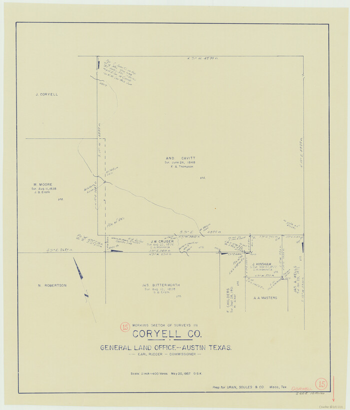
Coryell County Working Sketch 15

Print $20.00
- Digital $50.00
Coryell County Working Sketch 15
1957
Size 24.3 x 20.8 inches
Map/Doc 68222
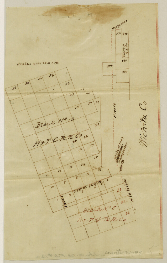
Wichita County Sketch File 13a

Print $6.00
- Digital $50.00
Wichita County Sketch File 13a
1881
Size 9.4 x 6.0 inches
Map/Doc 40084
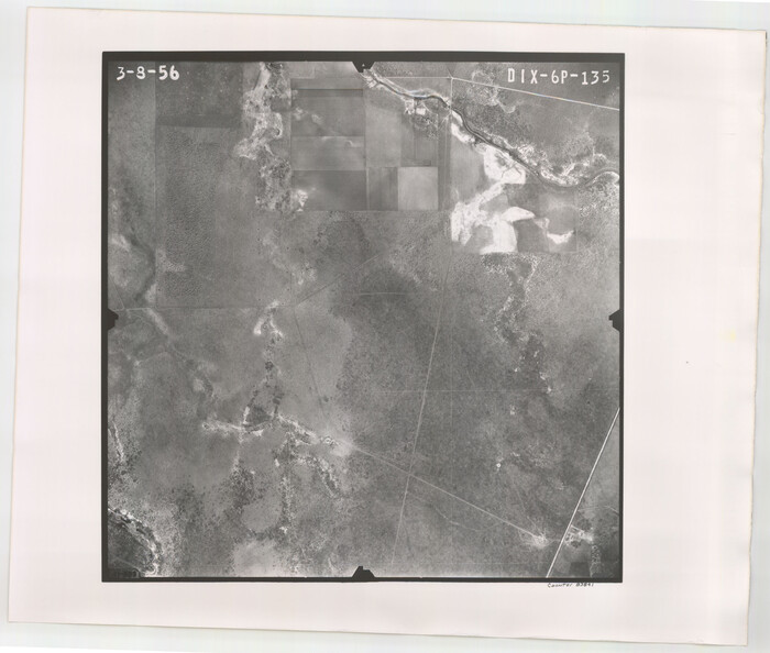
Flight Mission No. DIX-6P, Frame 135, Aransas County

Print $20.00
- Digital $50.00
Flight Mission No. DIX-6P, Frame 135, Aransas County
1956
Size 19.5 x 23.0 inches
Map/Doc 83841
Trinity County Working Sketch 13


Print $20.00
- Digital $50.00
Trinity County Working Sketch 13
1956
Size 18.2 x 24.7 inches
Map/Doc 69462
General Highway Map, Wichita County, Texas


Print $20.00
General Highway Map, Wichita County, Texas
1961
Size 18.2 x 24.6 inches
Map/Doc 79709
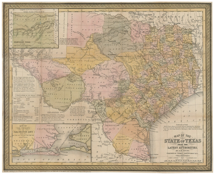
Map of the State of Texas from the latest authorities

Print $20.00
- Digital $50.00
Map of the State of Texas from the latest authorities
1854
Size 13.2 x 16.3 inches
Map/Doc 93761
Hardin County Sketch File 3


Print $4.00
- Digital $50.00
Hardin County Sketch File 3
Size 7.7 x 4.6 inches
Map/Doc 25086
![89918, [Sketch showing San Augustine, Morris, Stephens and Eastland School Land Leagues and adjacent Blocks], Twichell Survey Records](https://historictexasmaps.com/wmedia_w1800h1800/maps/89918-1.tif.jpg)