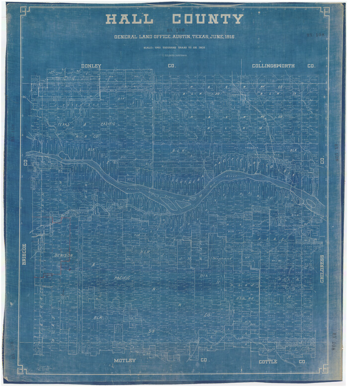
[SW Corner of Yoakum County]
-
Map/Doc
92443
-
Collection
Twichell Survey Records
-
People and Organizations
Sylvan Sanders (Compiler)
-
Counties
Yoakum Gaines Terry
-
Height x Width
24.2 x 18.5 inches
61.5 x 47.0 cm
Part of: Twichell Survey Records
[Texas Boundary Line]
![92075, [Texas Boundary Line], Twichell Survey Records](https://historictexasmaps.com/wmedia_w700/maps/92075-1.tif.jpg)
![92075, [Texas Boundary Line], Twichell Survey Records](https://historictexasmaps.com/wmedia_w700/maps/92075-1.tif.jpg)
Print $20.00
- Digital $50.00
[Texas Boundary Line]
Size 21.4 x 11.9 inches
Map/Doc 92075
Texas Boundary Line
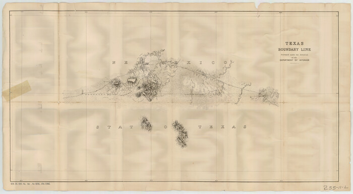

Print $20.00
- Digital $50.00
Texas Boundary Line
Size 21.4 x 11.8 inches
Map/Doc 92076
Ellwood Farms, Situated in Lamb County, Texas
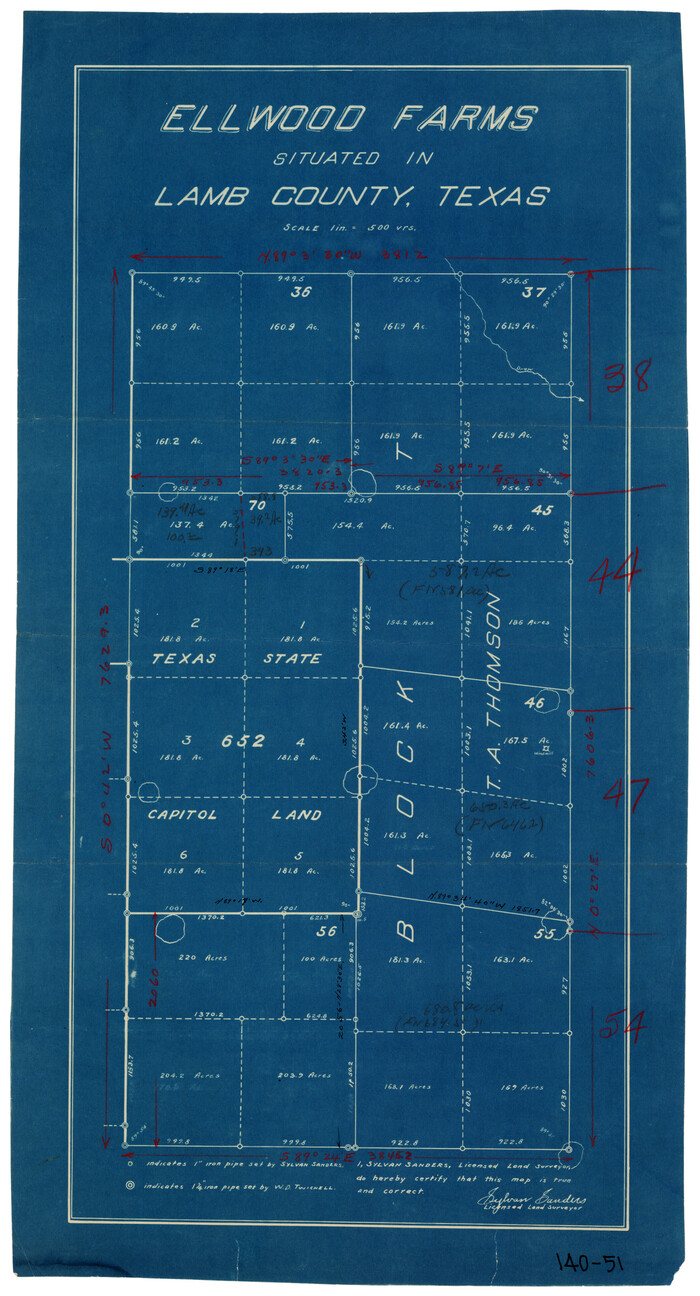

Print $20.00
- Digital $50.00
Ellwood Farms, Situated in Lamb County, Texas
Size 12.5 x 22.8 inches
Map/Doc 90993
Sketch for Blocks D6, D7, D8 situated in Val Verde County, Texas
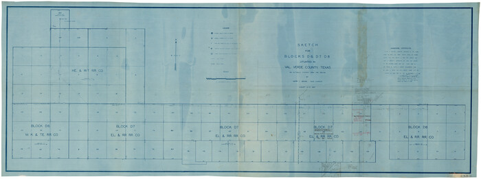

Print $40.00
- Digital $50.00
Sketch for Blocks D6, D7, D8 situated in Val Verde County, Texas
1937
Size 98.2 x 37.5 inches
Map/Doc 93165
Garza County Sketch
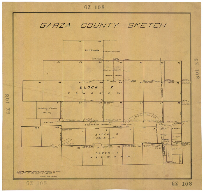

Print $20.00
- Digital $50.00
Garza County Sketch
1924
Size 19.6 x 18.4 inches
Map/Doc 92701
County School Lands


Print $3.00
- Digital $50.00
County School Lands
1913
Size 10.4 x 14.2 inches
Map/Doc 90450
Sketch in Bailey County
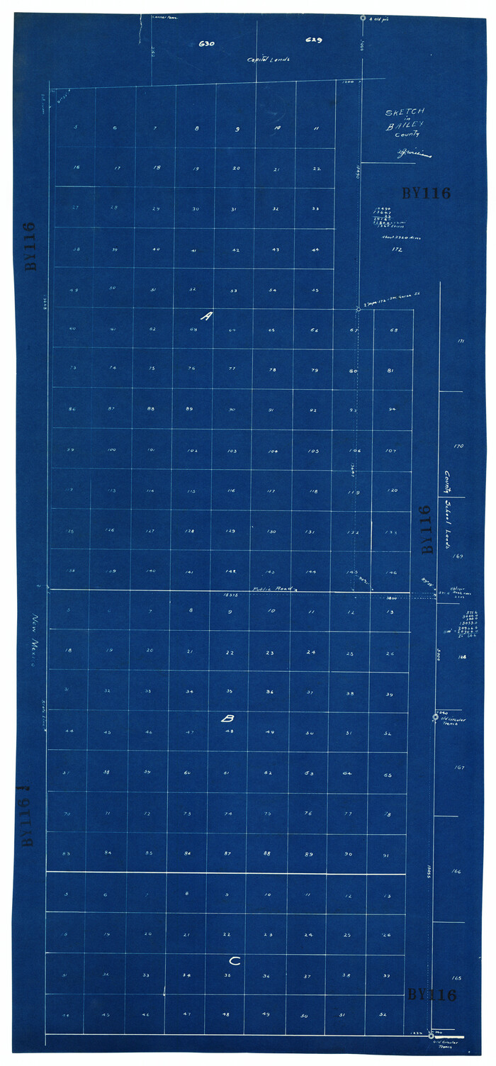

Print $20.00
- Digital $50.00
Sketch in Bailey County
Size 15.6 x 33.5 inches
Map/Doc 92476
Working Sketch in Glasscock County
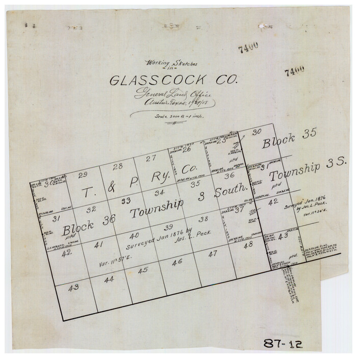

Print $3.00
- Digital $50.00
Working Sketch in Glasscock County
Size 9.8 x 9.8 inches
Map/Doc 90750
You may also like
Flight Mission No. CLL-4N, Frame 32, Willacy County
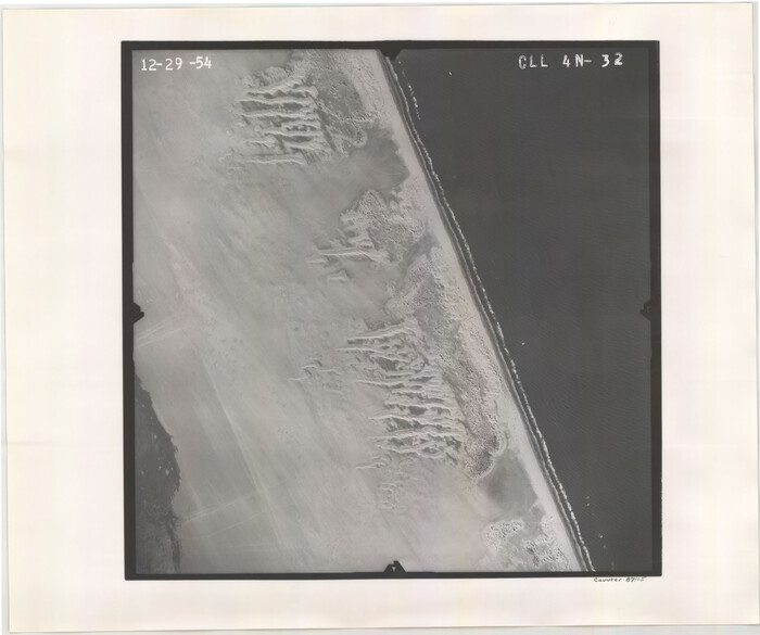

Print $20.00
- Digital $50.00
Flight Mission No. CLL-4N, Frame 32, Willacy County
1954
Size 18.5 x 22.1 inches
Map/Doc 87105
Sketch showing recent surveys of State School Land adjoining Capitol Leagues No. 357 1/2, 367, 373 and 374 corrected out of conflict


Print $2.00
- Digital $50.00
Sketch showing recent surveys of State School Land adjoining Capitol Leagues No. 357 1/2, 367, 373 and 374 corrected out of conflict
1905
Size 7.3 x 10.4 inches
Map/Doc 90535
Dawson County Sketch File 7
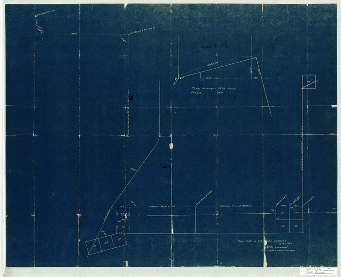

Print $20.00
- Digital $50.00
Dawson County Sketch File 7
1926
Size 20.0 x 24.6 inches
Map/Doc 11292
Bandera County Sketch File 26


Print $6.00
- Digital $50.00
Bandera County Sketch File 26
1879
Size 7.7 x 8.3 inches
Map/Doc 14016
Flight Mission No. DCL-7C, Frame 50, Kenedy County
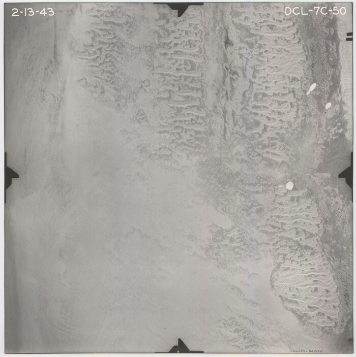

Print $20.00
- Digital $50.00
Flight Mission No. DCL-7C, Frame 50, Kenedy County
1943
Size 16.6 x 16.5 inches
Map/Doc 86038
Leon County Rolled Sketch 8
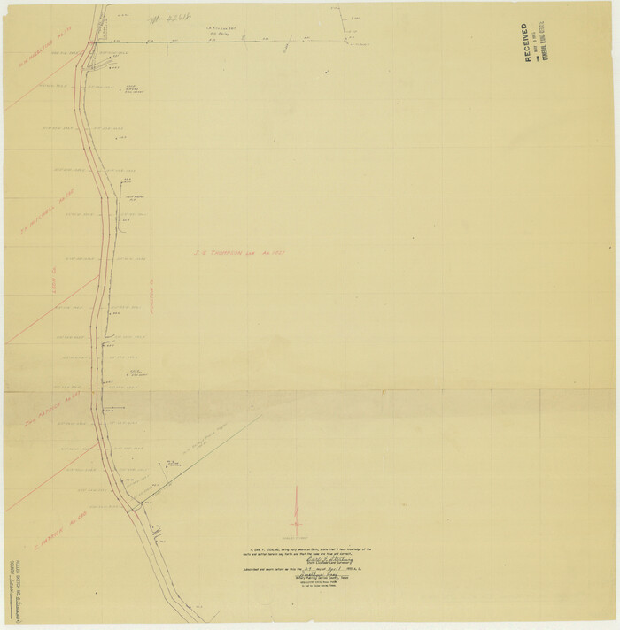

Print $97.00
- Digital $50.00
Leon County Rolled Sketch 8
1955
Size 32.5 x 31.9 inches
Map/Doc 9429
Tom Green County Sketch File 41


Print $8.00
- Digital $50.00
Tom Green County Sketch File 41
1884
Size 12.8 x 8.3 inches
Map/Doc 38196
Irion County Sketch File 9


Print $14.00
- Digital $50.00
Irion County Sketch File 9
1927
Size 11.0 x 8.5 inches
Map/Doc 27475
Lynn County Working Sketch 3
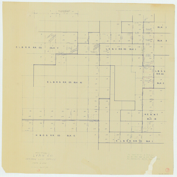

Print $20.00
- Digital $50.00
Lynn County Working Sketch 3
1953
Size 30.8 x 30.9 inches
Map/Doc 70673
Jack County Sketch File 36


Print $120.00
- Digital $50.00
Jack County Sketch File 36
1882
Size 16.3 x 11.0 inches
Map/Doc 27575
Van Zandt County Sketch File 5


Print $22.00
- Digital $50.00
Van Zandt County Sketch File 5
Size 20.5 x 6.3 inches
Map/Doc 39371
Val Verde County Sketch File 7

Print $6.00
- Digital $50.00
Val Verde County Sketch File 7
1877
Size 16.9 x 9.7 inches
Map/Doc 39196
![92443, [SW Corner of Yoakum County], Twichell Survey Records](https://historictexasmaps.com/wmedia_w1800h1800/maps/92443-1.tif.jpg)
![90513, [Capitol Lands], Twichell Survey Records](https://historictexasmaps.com/wmedia_w700/maps/90513-1.tif.jpg)
