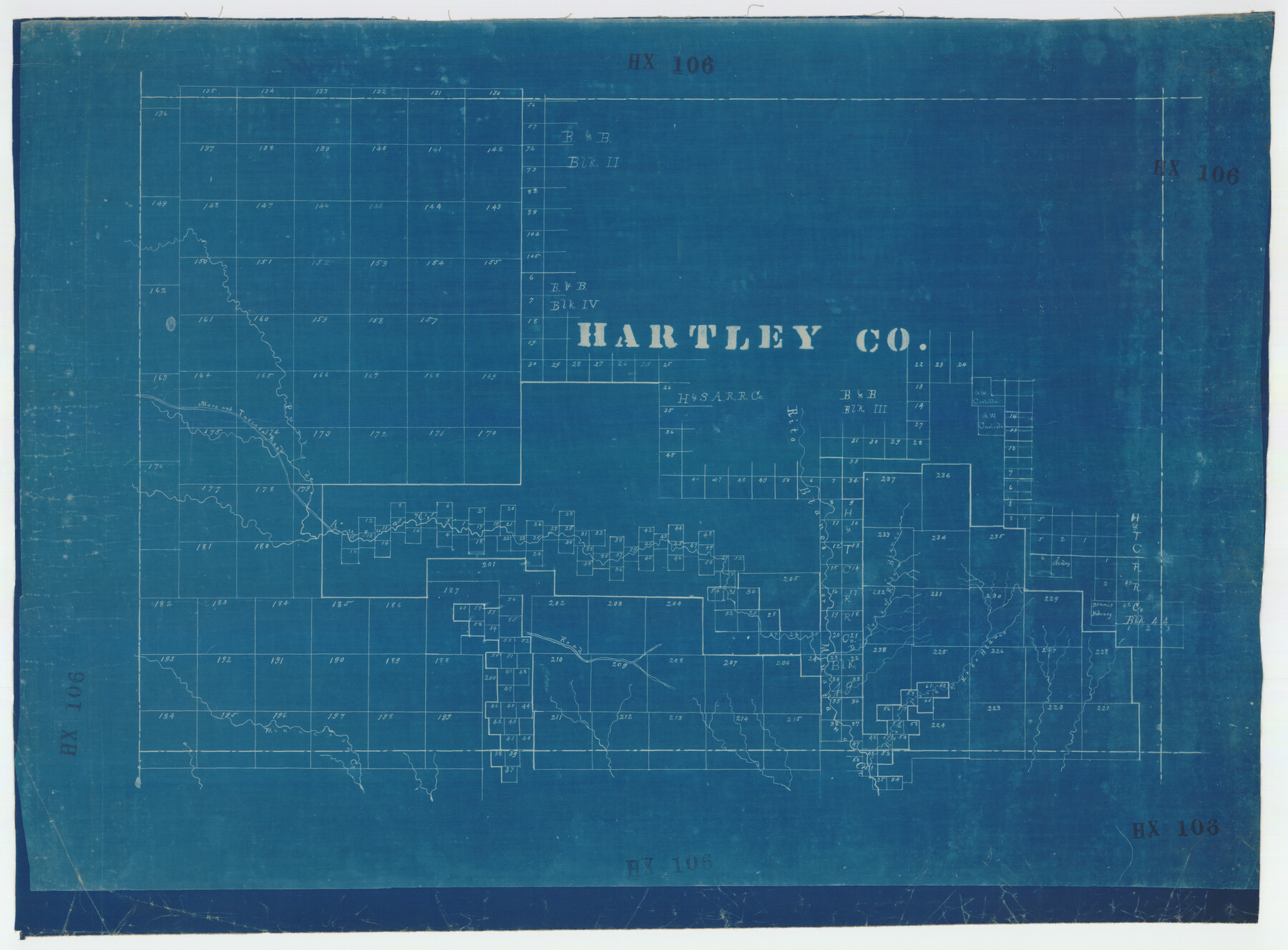
Hartley Co.
HX106
-
Map/Doc
92180
-
Collection
Twichell Survey Records
-
Counties
Hartley
-
Subjects
County
-
Height x Width
29.0 x 21.2 inches
73.7 x 53.9 cm
Part of: Twichell Survey Records
Gray County, Texas

Print $20.00
- Digital $50.00
Gray County, Texas
Size 13.4 x 14.9 inches
Map/Doc 90722
[Northwest Garza County around John Walker and Thomas Hughes surveys]
![90848, [Northwest Garza County around John Walker and Thomas Hughes surveys], Twichell Survey Records](https://historictexasmaps.com/wmedia_w700/maps/90848-2.tif.jpg)
Print $20.00
- Digital $50.00
[Northwest Garza County around John Walker and Thomas Hughes surveys]
1913
Size 27.5 x 14.3 inches
Map/Doc 90848
Working Sketch in Wheeler County [showing East line of County along border with Oklahoma]
![92085, Working Sketch in Wheeler County [showing East line of County along border with Oklahoma], Twichell Survey Records](https://historictexasmaps.com/wmedia_w700/maps/92085-1.tif.jpg)
Print $20.00
- Digital $50.00
Working Sketch in Wheeler County [showing East line of County along border with Oklahoma]
1910
Size 4.8 x 26.1 inches
Map/Doc 92085
Portion of Culberson County, Texas

Print $20.00
- Digital $50.00
Portion of Culberson County, Texas
1948
Size 30.9 x 33.0 inches
Map/Doc 92556
[M. B. & B. Blocks A, B and C and various County School Land Leagues]
![90282, [M. B. & B. Blocks A, B and C and various County School Land Leagues], Twichell Survey Records](https://historictexasmaps.com/wmedia_w700/maps/90282-1.tif.jpg)
Print $20.00
- Digital $50.00
[M. B. & B. Blocks A, B and C and various County School Land Leagues]
Size 15.8 x 19.0 inches
Map/Doc 90282
Plat Showing Part of Block Y, W. D. and F. W. Johnson Subdivision Number 2; and Part of Block W, Edward K. Warren Subdivision Number 1

Print $20.00
- Digital $50.00
Plat Showing Part of Block Y, W. D. and F. W. Johnson Subdivision Number 2; and Part of Block W, Edward K. Warren Subdivision Number 1
1954
Size 23.3 x 17.4 inches
Map/Doc 92502
[North Part of Block G]
![92637, [North Part of Block G], Twichell Survey Records](https://historictexasmaps.com/wmedia_w700/maps/92637-1.tif.jpg)
Print $20.00
- Digital $50.00
[North Part of Block G]
Size 24.1 x 19.7 inches
Map/Doc 92637
Working Sketch in Caldwell County

Print $20.00
- Digital $50.00
Working Sketch in Caldwell County
1922
Size 40.2 x 43.3 inches
Map/Doc 93035
[Randall County]
![92970, [Randall County], Twichell Survey Records](https://historictexasmaps.com/wmedia_w700/maps/92970-1.tif.jpg)
Print $20.00
- Digital $50.00
[Randall County]
Size 14.7 x 12.0 inches
Map/Doc 92970
[H. & G. N. Block B3]
![89982, [H. & G. N. Block B3], Twichell Survey Records](https://historictexasmaps.com/wmedia_w700/maps/89982-1.tif.jpg)
Print $3.00
- Digital $50.00
[H. & G. N. Block B3]
Size 17.4 x 8.1 inches
Map/Doc 89982
The American Tribune New Colony Company's Lands in Archer County, Texas

Print $20.00
- Digital $50.00
The American Tribune New Colony Company's Lands in Archer County, Texas
Size 42.9 x 37.5 inches
Map/Doc 89742
[Leagues along West line of County]
![90547, [Leagues along West line of County], Twichell Survey Records](https://historictexasmaps.com/wmedia_w700/maps/90547-1.tif.jpg)
Print $2.00
- Digital $50.00
[Leagues along West line of County]
Size 5.7 x 11.6 inches
Map/Doc 90547
You may also like
Navarro County Sketch File 22

Print $6.00
- Digital $50.00
Navarro County Sketch File 22
1873
Size 10.0 x 8.0 inches
Map/Doc 32352
Oldham County Sketch File 3

Print $12.00
- Digital $50.00
Oldham County Sketch File 3
1883
Size 8.2 x 7.8 inches
Map/Doc 33228
Cooke County Sketch File 3

Print $2.00
- Digital $50.00
Cooke County Sketch File 3
1873
Size 6.3 x 7.7 inches
Map/Doc 19222
Flight Mission No. DQN-1K, Frame 73, Calhoun County

Print $20.00
- Digital $50.00
Flight Mission No. DQN-1K, Frame 73, Calhoun County
1953
Size 18.5 x 22.2 inches
Map/Doc 84160
Menard County Working Sketch 11

Print $20.00
- Digital $50.00
Menard County Working Sketch 11
1939
Size 23.1 x 24.9 inches
Map/Doc 70958
[Edwards County]
![4940, [Edwards County], General Map Collection](https://historictexasmaps.com/wmedia_w700/maps/4940-1.tif.jpg)
Print $40.00
- Digital $50.00
[Edwards County]
1900
Size 48.7 x 32.7 inches
Map/Doc 4940
Parker County Working Sketch 16

Print $20.00
- Digital $50.00
Parker County Working Sketch 16
1990
Map/Doc 71466
Red River County Working Sketch 71

Print $20.00
- Digital $50.00
Red River County Working Sketch 71
1977
Size 17.8 x 28.0 inches
Map/Doc 72054
Portion of States Submerged Area in Matagorda Bay

Print $20.00
- Digital $50.00
Portion of States Submerged Area in Matagorda Bay
1922
Size 13.9 x 14.7 inches
Map/Doc 2952

Chambers County Working Sketch 18

Print $20.00
- Digital $50.00
Chambers County Working Sketch 18
1965
Size 39.8 x 29.2 inches
Map/Doc 68001
[Blocks W, A4, A2, T, D10, B, JD, O, JK4]
![92251, [Blocks W, A4, A2, T, D10, B, JD, O, JK4], Twichell Survey Records](https://historictexasmaps.com/wmedia_w700/maps/92251-1.tif.jpg)
Print $20.00
- Digital $50.00
[Blocks W, A4, A2, T, D10, B, JD, O, JK4]
Size 36.9 x 30.1 inches
Map/Doc 92251