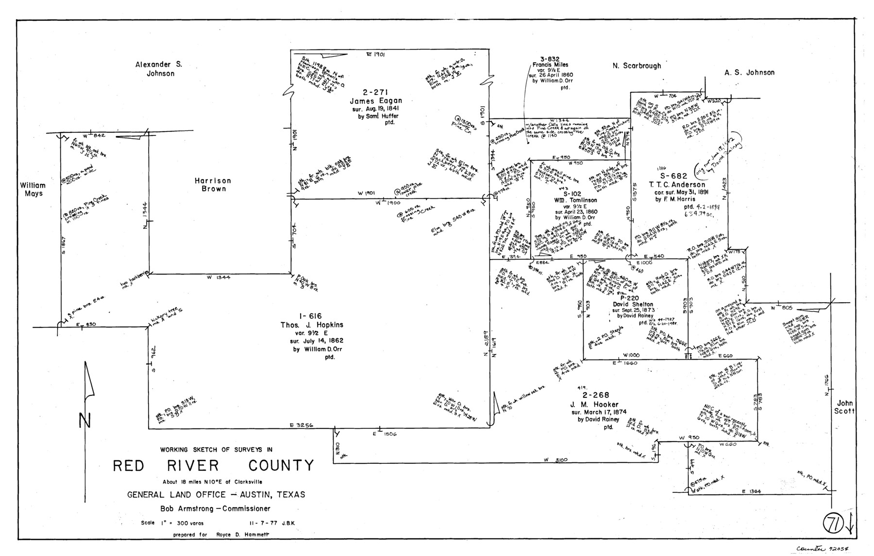
Red River County Working Sketch 71
-
Map/Doc
72054
-
Collection
General Map Collection
-
Object Dates
11/7/1977 (Creation Date)
-
People and Organizations
Joan Kilpatrick (Draftsman)
-
Counties
Red River
-
Subjects
Surveying Working Sketch
-
Height x Width
17.8 x 28.0 inches
45.2 x 71.1 cm
-
Scale
1" = 300 varas
Part of: General Map Collection
Flight Mission No. CLL-1N, Frame 191, Willacy County

Print $20.00
- Digital $50.00
Flight Mission No. CLL-1N, Frame 191, Willacy County
1954
Size 18.3 x 22.0 inches
Map/Doc 87061
Limestone County Working Sketch 15

Print $20.00
- Digital $50.00
Limestone County Working Sketch 15
1936
Size 14.7 x 16.3 inches
Map/Doc 70565
Presidio County Sketch File H

Print $4.00
- Digital $50.00
Presidio County Sketch File H
Size 5.8 x 9.6 inches
Map/Doc 34431
Bandera County Working Sketch 55

Print $20.00
- Digital $50.00
Bandera County Working Sketch 55
1990
Size 34.4 x 42.1 inches
Map/Doc 67651
Flight Mission No. CRC-3R, Frame 11, Chambers County

Print $20.00
- Digital $50.00
Flight Mission No. CRC-3R, Frame 11, Chambers County
1956
Size 18.7 x 22.4 inches
Map/Doc 84785
Midland County Rolled Sketch 9

Print $40.00
- Digital $50.00
Midland County Rolled Sketch 9
Size 73.4 x 17.3 inches
Map/Doc 6766
Bandera County Boundary File 3

Print $2.00
- Digital $50.00
Bandera County Boundary File 3
Size 4.3 x 8.8 inches
Map/Doc 50266
Red River County Rolled Sketch 6

Print $40.00
- Digital $50.00
Red River County Rolled Sketch 6
1966
Size 58.1 x 45.2 inches
Map/Doc 9843

Orange County, West Half of Sabine River Showing Leases 5 and 6

Print $20.00
- Digital $50.00
Orange County, West Half of Sabine River Showing Leases 5 and 6
1957
Size 30.6 x 34.3 inches
Map/Doc 1934
Wilson County Sketch File 5

Print $4.00
- Digital $50.00
Wilson County Sketch File 5
1859
Size 6.6 x 8.2 inches
Map/Doc 40408
El Paso County Working Sketch Graphic Index - south part

Print $20.00
- Digital $50.00
El Paso County Working Sketch Graphic Index - south part
1977
Size 33.4 x 44.9 inches
Map/Doc 76537
You may also like

Childress County Sketch File 18a

Print $4.00
- Digital $50.00
Childress County Sketch File 18a
1935
Size 11.3 x 7.1 inches
Map/Doc 18364

Red River County Working Sketch 29

Print $20.00
- Digital $50.00
Red River County Working Sketch 29
1961
Size 29.5 x 33.3 inches
Map/Doc 72012
Map Showing Position of Surveys Represented Hereon

Print $40.00
- Digital $50.00
Map Showing Position of Surveys Represented Hereon
Size 39.6 x 57.9 inches
Map/Doc 75810

[Bastrop County, El Paso County, and Gillespie County School Land Leagues and surveys to the East]
![90868, [Bastrop County, El Paso County, and Gillespie County School Land Leagues and surveys to the East], Twichell Survey Records](https://historictexasmaps.com/wmedia_w700/maps/90868-2.tif.jpg)
Print $20.00
- Digital $50.00
[Bastrop County, El Paso County, and Gillespie County School Land Leagues and surveys to the East]
1886
Size 15.9 x 20.1 inches
Map/Doc 90868
Culberson County Working Sketch 20

Print $40.00
- Digital $50.00
Culberson County Working Sketch 20
1935
Size 76.6 x 44.3 inches
Map/Doc 68472
[Sutton, Hale & Ector Co. School Land]
![90102, [Sutton, Hale & Ector Co. School Land], Twichell Survey Records](https://historictexasmaps.com/wmedia_w700/maps/90102-1.tif.jpg)
Print $3.00
- Digital $50.00
[Sutton, Hale & Ector Co. School Land]
Size 9.7 x 16.8 inches
Map/Doc 90102
Upton County Rolled Sketch 36

Print $40.00
- Digital $50.00
Upton County Rolled Sketch 36
1952
Size 42.9 x 64.2 inches
Map/Doc 10051
Erath County Working Sketch 7

Print $20.00
- Digital $50.00
Erath County Working Sketch 7
1921
Size 15.8 x 16.1 inches
Map/Doc 69088
Frio County Rolled Sketch 21

Print $20.00
- Digital $50.00
Frio County Rolled Sketch 21
1961
Size 43.8 x 27.7 inches
Map/Doc 8911