[H. & G. N. Block B3]
6-1
-
Map/Doc
89982
-
Collection
Twichell Survey Records
-
People and Organizations
N.A. Steed (Draftsman)
C.H. Harris (Draftsman)
-
Counties
Armstrong
-
Height x Width
17.4 x 8.1 inches
44.2 x 20.6 cm
Part of: Twichell Survey Records
[Blocks and surveys to the North and West of Jasper County School Land]
![91570, [Blocks and surveys to the North and West of Jasper County School Land], Twichell Survey Records](https://historictexasmaps.com/wmedia_w700/maps/91570-1.tif.jpg)
![91570, [Blocks and surveys to the North and West of Jasper County School Land], Twichell Survey Records](https://historictexasmaps.com/wmedia_w700/maps/91570-1.tif.jpg)
Print $20.00
- Digital $50.00
[Blocks and surveys to the North and West of Jasper County School Land]
Size 14.9 x 17.8 inches
Map/Doc 91570
Olton, Texas Voted County Seat of Lamb County
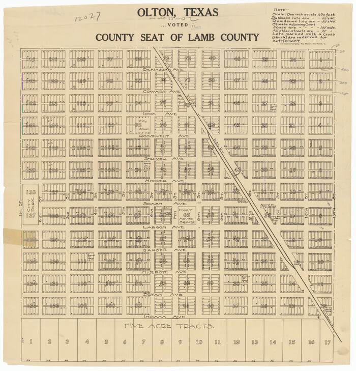

Print $20.00
- Digital $50.00
Olton, Texas Voted County Seat of Lamb County
Size 23.2 x 24.1 inches
Map/Doc 92151
[Blocks K-7, K-8, Leagues 443-446, 390, 392, 407-410]
![90543, [Blocks K-7, K-8, Leagues 443-446, 390, 392, 407-410], Twichell Survey Records](https://historictexasmaps.com/wmedia_w700/maps/90543-1.tif.jpg)
![90543, [Blocks K-7, K-8, Leagues 443-446, 390, 392, 407-410], Twichell Survey Records](https://historictexasmaps.com/wmedia_w700/maps/90543-1.tif.jpg)
Print $3.00
- Digital $50.00
[Blocks K-7, K-8, Leagues 443-446, 390, 392, 407-410]
Size 10.4 x 14.2 inches
Map/Doc 90543
[Pencil Sketch of a portion of Block D-8]
![91872, [Pencil Sketch of a portion of Block D-8], Twichell Survey Records](https://historictexasmaps.com/wmedia_w700/maps/91872-1.tif.jpg)
![91872, [Pencil Sketch of a portion of Block D-8], Twichell Survey Records](https://historictexasmaps.com/wmedia_w700/maps/91872-1.tif.jpg)
Print $2.00
- Digital $50.00
[Pencil Sketch of a portion of Block D-8]
1937
Size 14.5 x 9.1 inches
Map/Doc 91872
[Blocks 44, 6T, 2G, and Vicinity]
![91519, [Blocks 44, 6T, 2G, and Vicinity], Twichell Survey Records](https://historictexasmaps.com/wmedia_w700/maps/91519-1.tif.jpg)
![91519, [Blocks 44, 6T, 2G, and Vicinity], Twichell Survey Records](https://historictexasmaps.com/wmedia_w700/maps/91519-1.tif.jpg)
Print $20.00
- Digital $50.00
[Blocks 44, 6T, 2G, and Vicinity]
Size 24.5 x 16.9 inches
Map/Doc 91519
Working Sketch Carson County
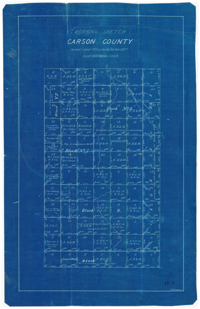

Print $3.00
- Digital $50.00
Working Sketch Carson County
1907
Size 11.6 x 17.8 inches
Map/Doc 90224
Crockett County, Texas
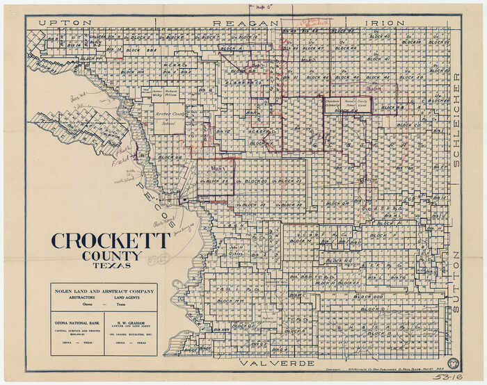

Print $20.00
- Digital $50.00
Crockett County, Texas
Size 24.7 x 19.5 inches
Map/Doc 90316
[H. & T. C. RR. Company, Block 47, Map C]
![91247, [H. & T. C. RR. Company, Block 47, Map C], Twichell Survey Records](https://historictexasmaps.com/wmedia_w700/maps/91247-1.tif.jpg)
![91247, [H. & T. C. RR. Company, Block 47, Map C], Twichell Survey Records](https://historictexasmaps.com/wmedia_w700/maps/91247-1.tif.jpg)
Print $20.00
- Digital $50.00
[H. & T. C. RR. Company, Block 47, Map C]
Size 32.6 x 19.9 inches
Map/Doc 91247
Deaf Smith County, Texas


Print $20.00
- Digital $50.00
Deaf Smith County, Texas
Size 24.7 x 18.8 inches
Map/Doc 90596
Working Sketch compiled from original field notes showing surveys in Reagan and Irion Counties located by Frank Lerch in 1883 and 1884, also adjacent blocks and surveys (previously located by other surveyors) called for in his Field Notes


Print $20.00
- Digital $50.00
Working Sketch compiled from original field notes showing surveys in Reagan and Irion Counties located by Frank Lerch in 1883 and 1884, also adjacent blocks and surveys (previously located by other surveyors) called for in his Field Notes
1883
Size 35.8 x 20.0 inches
Map/Doc 91749
[Leagues 319-325]
![91360, [Leagues 319-325], Twichell Survey Records](https://historictexasmaps.com/wmedia_w700/maps/91360-1.tif.jpg)
![91360, [Leagues 319-325], Twichell Survey Records](https://historictexasmaps.com/wmedia_w700/maps/91360-1.tif.jpg)
Print $20.00
- Digital $50.00
[Leagues 319-325]
Size 37.3 x 22.9 inches
Map/Doc 91360
You may also like
Starr County Rolled Sketch 46A


Print $20.00
- Digital $50.00
Starr County Rolled Sketch 46A
1986
Size 17.9 x 34.4 inches
Map/Doc 7837
Medina County Rolled Sketch 6


Print $40.00
- Digital $50.00
Medina County Rolled Sketch 6
1930
Size 51.1 x 45.2 inches
Map/Doc 9506
Cochran County
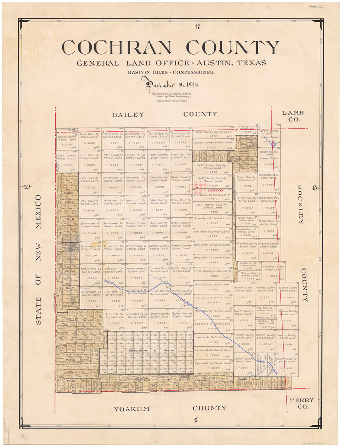

Print $20.00
- Digital $50.00
Cochran County
1946
Size 33.0 x 25.3 inches
Map/Doc 73107
Dawson County Sketch File 19
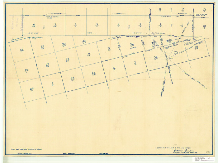

Print $20.00
- Digital $50.00
Dawson County Sketch File 19
1951
Size 18.5 x 24.7 inches
Map/Doc 11295
Pecos County Working Sketch 20
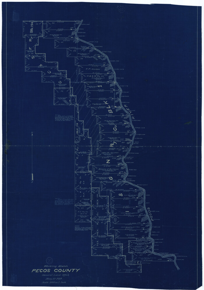

Print $20.00
- Digital $50.00
Pecos County Working Sketch 20
1918
Size 33.0 x 23.2 inches
Map/Doc 71490
[Sketch Between Hemphill County and Oklahoma]
![89664, [Sketch Between Hemphill County and Oklahoma], Twichell Survey Records](https://historictexasmaps.com/wmedia_w700/maps/89664.tif.jpg)
![89664, [Sketch Between Hemphill County and Oklahoma], Twichell Survey Records](https://historictexasmaps.com/wmedia_w700/maps/89664.tif.jpg)
Print $40.00
- Digital $50.00
[Sketch Between Hemphill County and Oklahoma]
Size 8.1 x 62.5 inches
Map/Doc 89664
Smith County Working Sketch 15
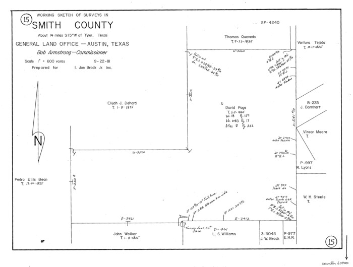

Print $20.00
- Digital $50.00
Smith County Working Sketch 15
1981
Size 13.4 x 17.6 inches
Map/Doc 63900
East Part of Jeff Davis Co.
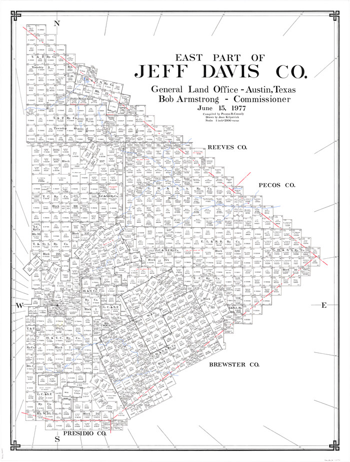

Print $20.00
- Digital $50.00
East Part of Jeff Davis Co.
1977
Size 46.4 x 35.7 inches
Map/Doc 73194
Flight Mission No. CRC-1R, Frame 157, Chambers County


Print $20.00
- Digital $50.00
Flight Mission No. CRC-1R, Frame 157, Chambers County
1956
Size 18.8 x 22.5 inches
Map/Doc 84719
San Patricio County Rolled Sketch 32
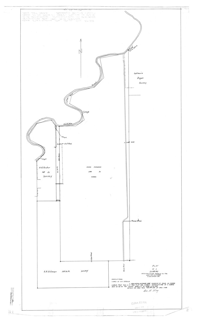

Print $20.00
- Digital $50.00
San Patricio County Rolled Sketch 32
1948
Size 38.8 x 25.0 inches
Map/Doc 7583
Pecos County Sketch File 34


Print $4.00
- Digital $50.00
Pecos County Sketch File 34
Size 11.1 x 8.5 inches
Map/Doc 33714
Plat of Location and Right of Way from El Paso, Tex. To New Mexico Line, Rio Grande and El Paso R. R.


Print $40.00
- Digital $50.00
Plat of Location and Right of Way from El Paso, Tex. To New Mexico Line, Rio Grande and El Paso R. R.
Size 22.5 x 121.3 inches
Map/Doc 64083
![89982, [H. & G. N. Block B3], Twichell Survey Records](https://historictexasmaps.com/wmedia_w1800h1800/maps/89982-1.tif.jpg)
