[Sketch Between Hemphill County and Oklahoma]
M-20c
-
Map/Doc
89664
-
Collection
Twichell Survey Records
-
People and Organizations
W.D. Twichell (Surveyor/Engineer)
-
Counties
Hemphill
-
Height x Width
8.1 x 62.5 inches
20.6 x 158.8 cm
Part of: Twichell Survey Records
[Sketch showing Block 42, Sections 221 and 222 and Block H, Sections 7 and 9]
![91714, [Sketch showing Block 42, Sections 221 and 222 and Block H, Sections 7 and 9], Twichell Survey Records](https://historictexasmaps.com/wmedia_w700/maps/91714-1.tif.jpg)
![91714, [Sketch showing Block 42, Sections 221 and 222 and Block H, Sections 7 and 9], Twichell Survey Records](https://historictexasmaps.com/wmedia_w700/maps/91714-1.tif.jpg)
Print $2.00
- Digital $50.00
[Sketch showing Block 42, Sections 221 and 222 and Block H, Sections 7 and 9]
1919
Size 5.6 x 5.0 inches
Map/Doc 91714
W. R. and J. M. Baggett's Ranch, Crockett County, Texas
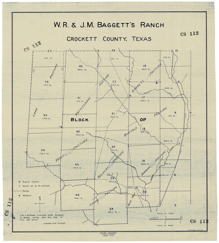

Print $20.00
- Digital $50.00
W. R. and J. M. Baggett's Ranch, Crockett County, Texas
Size 22.8 x 25.5 inches
Map/Doc 92554
[Leagues in Northwest Lamb County]
![91073, [Leagues in Northwest Lamb County], Twichell Survey Records](https://historictexasmaps.com/wmedia_w700/maps/91073-1.tif.jpg)
![91073, [Leagues in Northwest Lamb County], Twichell Survey Records](https://historictexasmaps.com/wmedia_w700/maps/91073-1.tif.jpg)
Print $20.00
- Digital $50.00
[Leagues in Northwest Lamb County]
Size 19.5 x 23.2 inches
Map/Doc 91073
[Sketch of a portion of a Bastrop District GLO map]
![90112, [Sketch of a portion of a Bastrop District GLO map], Twichell Survey Records](https://historictexasmaps.com/wmedia_w700/maps/90112-1.tif.jpg)
![90112, [Sketch of a portion of a Bastrop District GLO map], Twichell Survey Records](https://historictexasmaps.com/wmedia_w700/maps/90112-1.tif.jpg)
Print $20.00
- Digital $50.00
[Sketch of a portion of a Bastrop District GLO map]
1923
Size 12.1 x 16.0 inches
Map/Doc 90112
[Sketch along Garza-Kent County Line]
![89920, [Sketch along Garza-Kent County Line], Twichell Survey Records](https://historictexasmaps.com/wmedia_w700/maps/89920-1.tif.jpg)
![89920, [Sketch along Garza-Kent County Line], Twichell Survey Records](https://historictexasmaps.com/wmedia_w700/maps/89920-1.tif.jpg)
Print $20.00
- Digital $50.00
[Sketch along Garza-Kent County Line]
Size 41.5 x 43.7 inches
Map/Doc 89920
[Block 1 and vicinity]
![90703, [Block 1 and vicinity], Twichell Survey Records](https://historictexasmaps.com/wmedia_w700/maps/90703-1.tif.jpg)
![90703, [Block 1 and vicinity], Twichell Survey Records](https://historictexasmaps.com/wmedia_w700/maps/90703-1.tif.jpg)
Print $20.00
- Digital $50.00
[Block 1 and vicinity]
Size 25.3 x 24.1 inches
Map/Doc 90703
Ownership Map of Val Verde County


Print $20.00
- Digital $50.00
Ownership Map of Val Verde County
1927
Size 32.7 x 36.9 inches
Map/Doc 92847
[R. M. Thompson, Block A and Part of Jones County School Land]
![91222, [R. M. Thompson, Block A and Part of Jones County School Land], Twichell Survey Records](https://historictexasmaps.com/wmedia_w700/maps/91222-1.tif.jpg)
![91222, [R. M. Thompson, Block A and Part of Jones County School Land], Twichell Survey Records](https://historictexasmaps.com/wmedia_w700/maps/91222-1.tif.jpg)
Print $20.00
- Digital $50.00
[R. M. Thompson, Block A and Part of Jones County School Land]
Size 10.4 x 20.9 inches
Map/Doc 91222
Portion of Pecos County


Print $20.00
- Digital $50.00
Portion of Pecos County
Size 18.8 x 21.6 inches
Map/Doc 91589
V. P. Hadsell's Subdivision of Southwest Quarter Section 27, Block D5
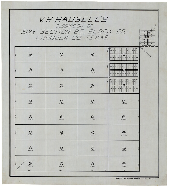

Print $20.00
- Digital $50.00
V. P. Hadsell's Subdivision of Southwest Quarter Section 27, Block D5
Size 18.4 x 20.0 inches
Map/Doc 92868
[Southwest corner Runnels County School Land League 3 and vicinity]
![93114, [Southwest corner Runnels County School Land League 3 and vicinity], Twichell Survey Records](https://historictexasmaps.com/wmedia_w700/maps/93114-1.tif.jpg)
![93114, [Southwest corner Runnels County School Land League 3 and vicinity], Twichell Survey Records](https://historictexasmaps.com/wmedia_w700/maps/93114-1.tif.jpg)
Print $20.00
- Digital $50.00
[Southwest corner Runnels County School Land League 3 and vicinity]
Size 42.5 x 31.5 inches
Map/Doc 93114
Sketch in Parmer County
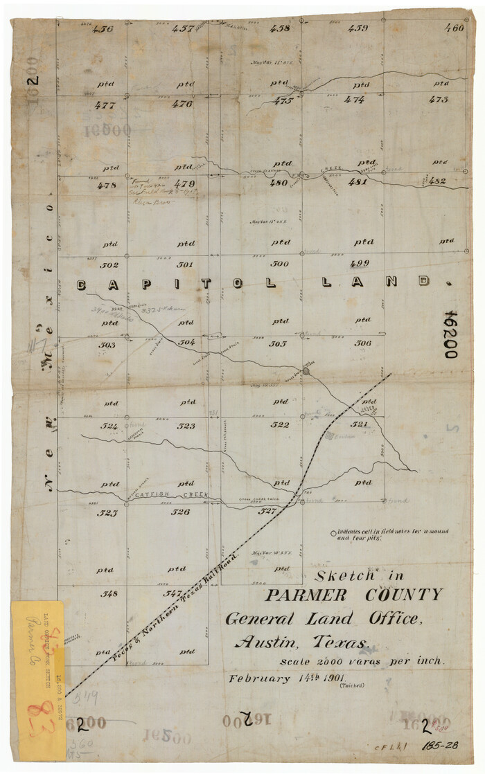

Print $20.00
- Digital $50.00
Sketch in Parmer County
1901
Size 15.1 x 23.8 inches
Map/Doc 91644
You may also like
Sheet 3 copied from Champlin Book 5 [Strip Map showing T. & P. connecting lines]
![93179, Sheet 3 copied from Champlin Book 5 [Strip Map showing T. & P. connecting lines], Twichell Survey Records](https://historictexasmaps.com/wmedia_w700/maps/93179-1.tif.jpg)
![93179, Sheet 3 copied from Champlin Book 5 [Strip Map showing T. & P. connecting lines], Twichell Survey Records](https://historictexasmaps.com/wmedia_w700/maps/93179-1.tif.jpg)
Print $40.00
- Digital $50.00
Sheet 3 copied from Champlin Book 5 [Strip Map showing T. & P. connecting lines]
1909
Size 7.5 x 74.8 inches
Map/Doc 93179
Rains County Working Sketch 10
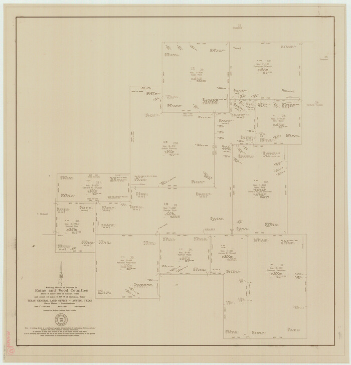

Print $20.00
- Digital $50.00
Rains County Working Sketch 10
1998
Size 36.1 x 34.7 inches
Map/Doc 71836
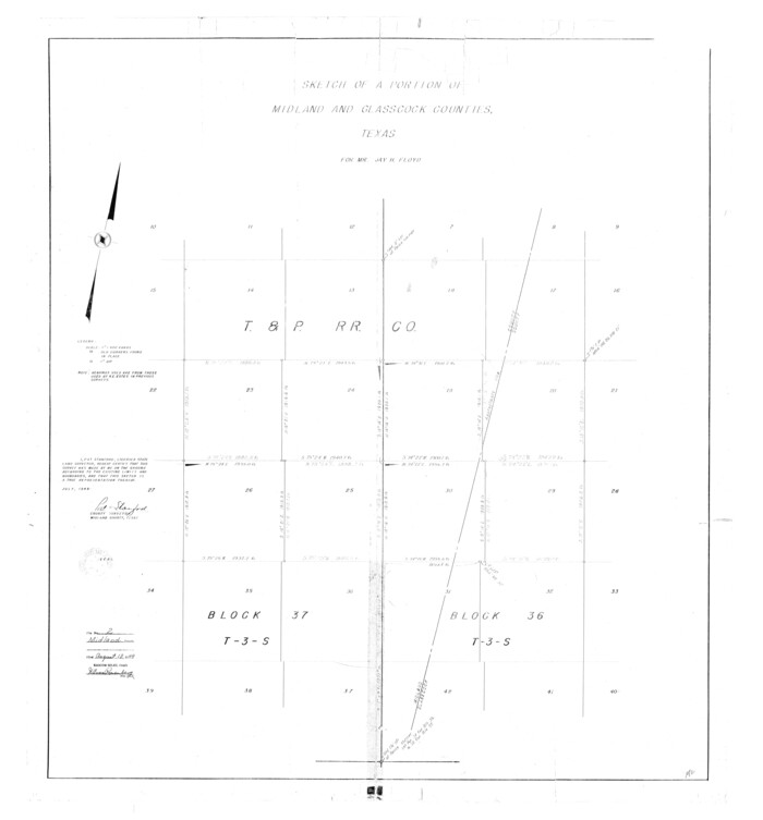
Midland County Rolled Sketch 2

Print $20.00
- Digital $50.00
Midland County Rolled Sketch 2
1949
Size 39.3 x 36.5 inches
Map/Doc 9513
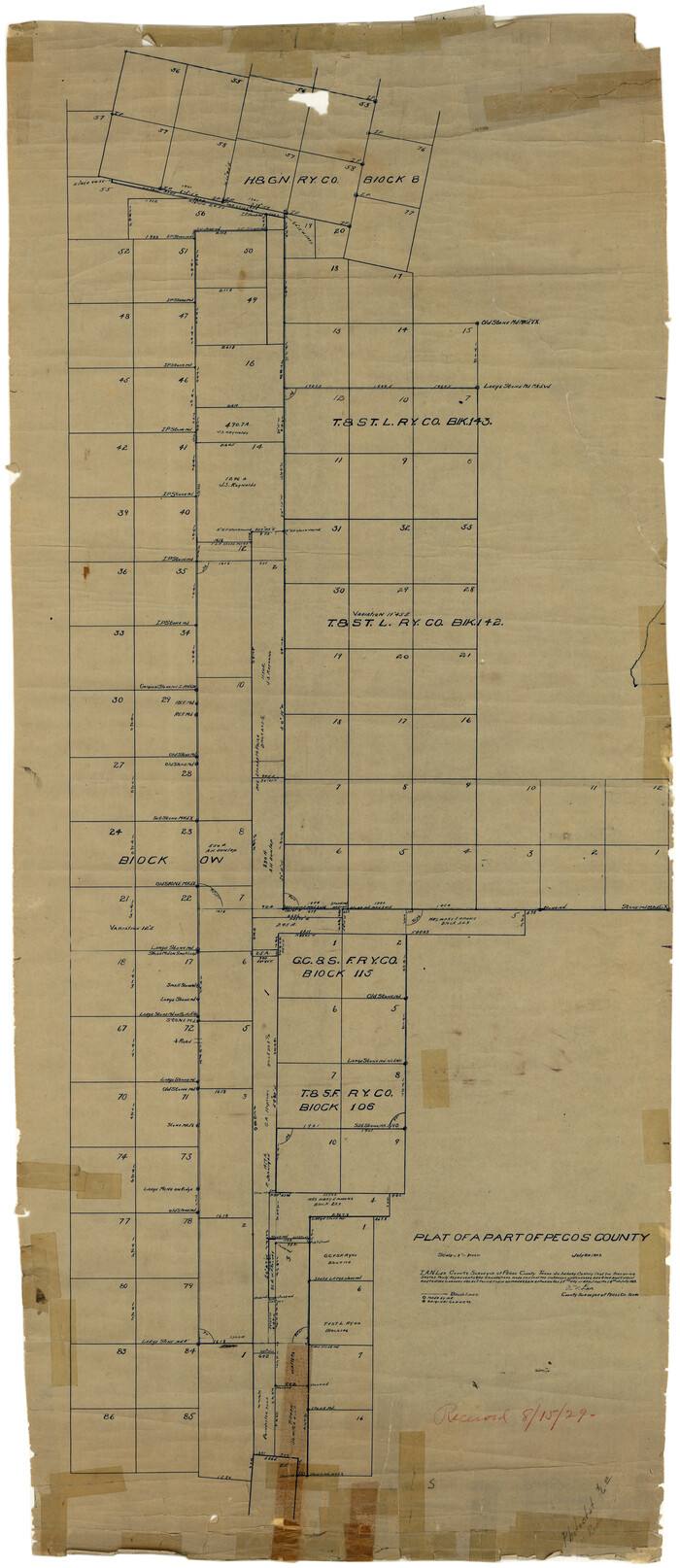
Pecos County Rolled Sketch 70A

Print $20.00
- Digital $50.00
Pecos County Rolled Sketch 70A
1929
Size 46.7 x 20.8 inches
Map/Doc 9709
Travis County Rolled Sketch 56


Print $20.00
- Digital $50.00
Travis County Rolled Sketch 56
1885
Size 16.7 x 23.2 inches
Map/Doc 8047
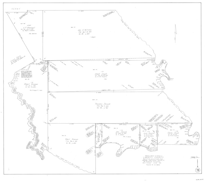
Liberty County Working Sketch 78

Print $20.00
- Digital $50.00
Liberty County Working Sketch 78
1981
Size 36.2 x 41.0 inches
Map/Doc 70538
Current Miscellaneous File 29


Print $10.00
- Digital $50.00
Current Miscellaneous File 29
Size 11.2 x 8.8 inches
Map/Doc 73920
The City of Austin and Suburbs


Print $40.00
- Digital $50.00
The City of Austin and Suburbs
1919
Size 120.7 x 73.5 inches
Map/Doc 2204
Right of Way & Track Map, The Texas & Pacific Ry. Co. Main Line


Print $20.00
- Digital $50.00
Right of Way & Track Map, The Texas & Pacific Ry. Co. Main Line
Size 11.0 x 19.0 inches
Map/Doc 64685
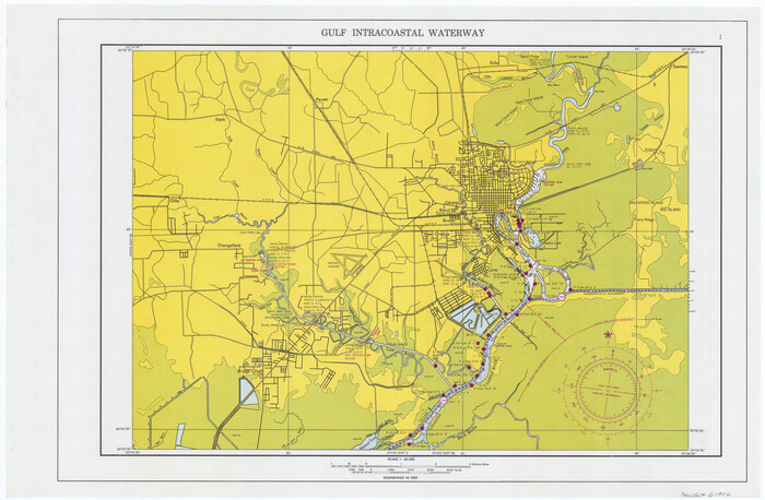
Maps of Gulf Intracoastal Waterway, Texas - Sabine River to the Rio Grande and connecting waterways including ship channels

Print $20.00
- Digital $50.00
Maps of Gulf Intracoastal Waterway, Texas - Sabine River to the Rio Grande and connecting waterways including ship channels
1966
Size 14.5 x 22.2 inches
Map/Doc 61922
Calhoun County Boundary File 4


Print $96.00
- Digital $50.00
Calhoun County Boundary File 4
Size 14.3 x 8.7 inches
Map/Doc 50979
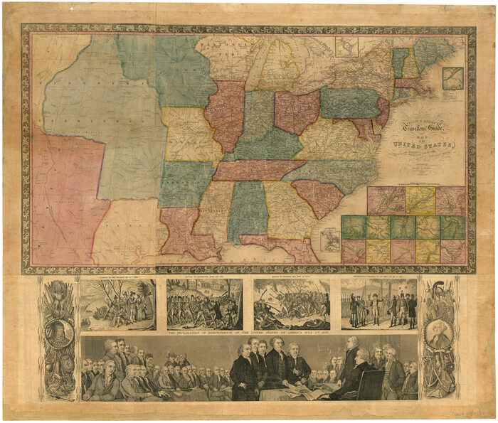
Phelps & Ensign's Travellers' Guide, and Map of the United States containing the roads, distances, steam boat and canal routes & c.

Print $20.00
- Digital $50.00
Phelps & Ensign's Travellers' Guide, and Map of the United States containing the roads, distances, steam boat and canal routes & c.
1841
Size 28.8 x 33.9 inches
Map/Doc 96875
![89664, [Sketch Between Hemphill County and Oklahoma], Twichell Survey Records](https://historictexasmaps.com/wmedia_w1800h1800/maps/89664.tif.jpg)