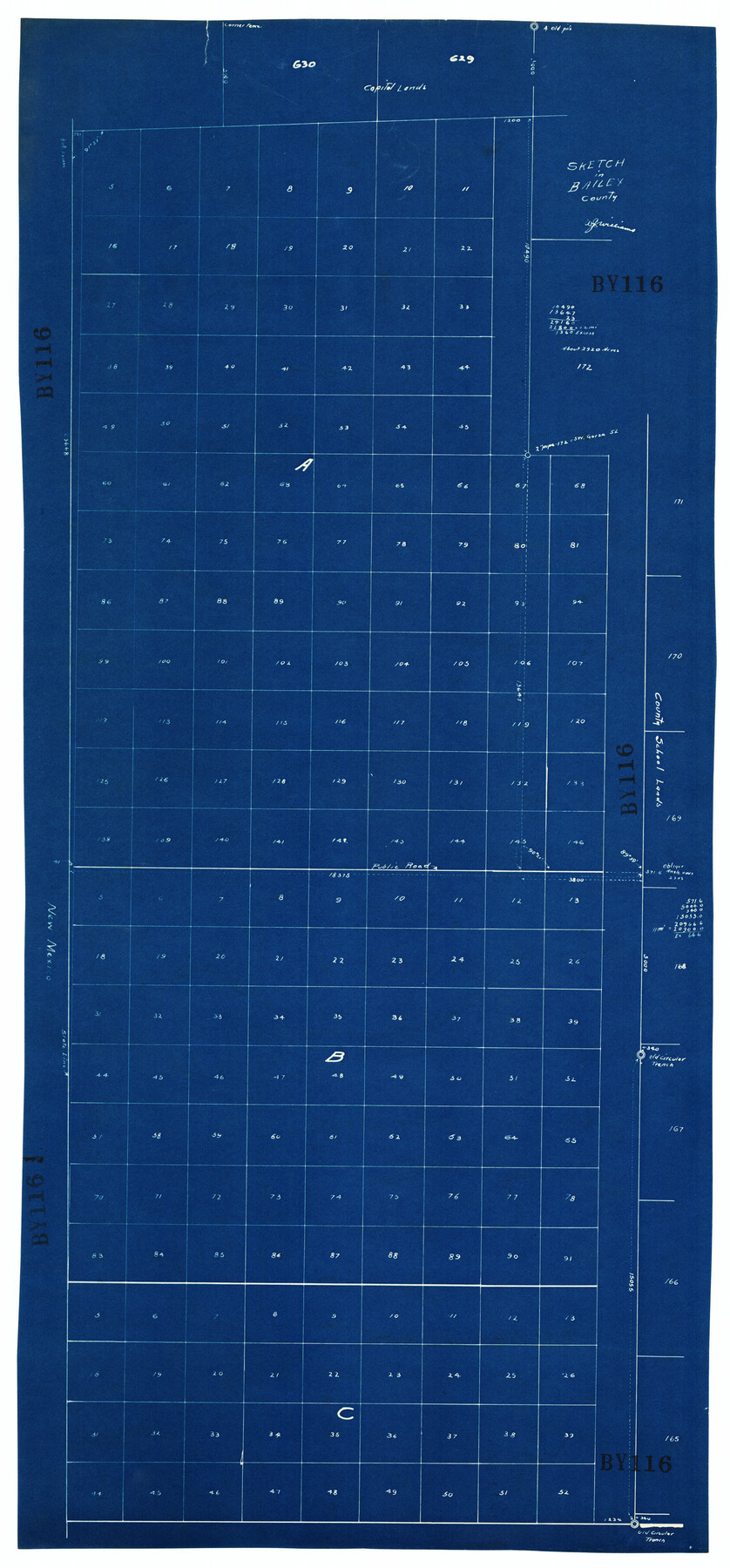
Sketch in Bailey County
BY116
-
Map/Doc
92476
-
Collection
Twichell Survey Records
-
Counties
Bailey
-
Height x Width
15.6 x 33.5 inches
39.6 x 85.1 cm
-
Comments
Along New Mexico line.
Part of: Twichell Survey Records
League 206, Ochiltree County School Land, Bailey and Lamb Counties, Texas

Print $20.00
- Digital $50.00
League 206, Ochiltree County School Land, Bailey and Lamb Counties, Texas
1954
Size 36.9 x 25.0 inches
Map/Doc 92537
Map of the Survey of the 100th Meridian of Longitude west of Greenwich beginning at Red River and extending to the parallel 36 1/2 degrees north latitude

Print $40.00
- Digital $50.00
Map of the Survey of the 100th Meridian of Longitude west of Greenwich beginning at Red River and extending to the parallel 36 1/2 degrees north latitude
Size 11.4 x 111.7 inches
Map/Doc 93191
[Sketch showing Block 42, Sections 221 and 222 and Block H, Sections 7 and 9]
![91714, [Sketch showing Block 42, Sections 221 and 222 and Block H, Sections 7 and 9], Twichell Survey Records](https://historictexasmaps.com/wmedia_w700/maps/91714-1.tif.jpg)
Print $2.00
- Digital $50.00
[Sketch showing Block 42, Sections 221 and 222 and Block H, Sections 7 and 9]
1919
Size 5.6 x 5.0 inches
Map/Doc 91714
[Block S, Sections 4 and 11]
![92834, [Block S, Sections 4 and 11], Twichell Survey Records](https://historictexasmaps.com/wmedia_w700/maps/92834-1.tif.jpg)
Print $20.00
- Digital $50.00
[Block S, Sections 4 and 11]
1951
Size 14.8 x 12.2 inches
Map/Doc 92834
[Surveys along San Antonio Road]
![90110, [Surveys along San Antonio Road], Twichell Survey Records](https://historictexasmaps.com/wmedia_w700/maps/90110-1.tif.jpg)
Print $20.00
- Digital $50.00
[Surveys along San Antonio Road]
Size 23.0 x 13.7 inches
Map/Doc 90110
[E. T. Ry. Blk. 1]
![89795, [E. T. Ry. Blk. 1], Twichell Survey Records](https://historictexasmaps.com/wmedia_w700/maps/89795-1.tif.jpg)
Print $40.00
- Digital $50.00
[E. T. Ry. Blk. 1]
Size 40.6 x 51.2 inches
Map/Doc 89795
Map Exhibit B, R. B. Violette, M. A. 34719, Gaines County, Texas

Print $20.00
- Digital $50.00
Map Exhibit B, R. B. Violette, M. A. 34719, Gaines County, Texas
Size 30.3 x 23.3 inches
Map/Doc 92654
[Sketch in Hartley County]
![90770, [Sketch in Hartley County], Twichell Survey Records](https://historictexasmaps.com/wmedia_w700/maps/90770-1.tif.jpg)
Print $20.00
- Digital $50.00
[Sketch in Hartley County]
Size 29.1 x 21.7 inches
Map/Doc 90770
[Tie Line, Zavala County School Land to North Line of Block D11, East and South to Double Lakes Corner]
![91868, [Tie Line, Zavala County School Land to North Line of Block D11, East and South to Double Lakes Corner], Twichell Survey Records](https://historictexasmaps.com/wmedia_w700/maps/91868-1.tif.jpg)
Print $20.00
- Digital $50.00
[Tie Line, Zavala County School Land to North Line of Block D11, East and South to Double Lakes Corner]
1900
Size 18.5 x 12.6 inches
Map/Doc 91868
Subdivision of the J. F. Carter Estate

Print $3.00
- Digital $50.00
Subdivision of the J. F. Carter Estate
Size 11.8 x 9.6 inches
Map/Doc 91273
[Bastrop County, El Paso County, and Gillespie County School Land Leagues and surveys to the East]
![90868, [Bastrop County, El Paso County, and Gillespie County School Land Leagues and surveys to the East], Twichell Survey Records](https://historictexasmaps.com/wmedia_w700/maps/90868-2.tif.jpg)
Print $20.00
- Digital $50.00
[Bastrop County, El Paso County, and Gillespie County School Land Leagues and surveys to the East]
1886
Size 15.9 x 20.1 inches
Map/Doc 90868
[Sabine County School Land, Block D-10, A3, and B]
![90749, [Sabine County School Land, Block D-10, A3, and B], Twichell Survey Records](https://historictexasmaps.com/wmedia_w700/maps/90749-1.tif.jpg)
Print $20.00
- Digital $50.00
[Sabine County School Land, Block D-10, A3, and B]
Size 15.7 x 20.8 inches
Map/Doc 90749
You may also like
Liberty County Working Sketch 7

Print $20.00
- Digital $50.00
Liberty County Working Sketch 7
1906
Size 22.2 x 24.8 inches
Map/Doc 70466
Motley County Sketch File 7a (N)

Print $40.00
- Digital $50.00
Motley County Sketch File 7a (N)
1895
Size 13.5 x 14.4 inches
Map/Doc 32014
Brewster County Working Sketch 84

Print $20.00
- Digital $50.00
Brewster County Working Sketch 84
1973
Size 44.9 x 39.4 inches
Map/Doc 67684
Wood County Working Sketch 10

Print $20.00
- Digital $50.00
Wood County Working Sketch 10
1943
Size 29.6 x 30.4 inches
Map/Doc 62010
Trinity River, Trinidad Sheet

Print $20.00
- Digital $50.00
Trinity River, Trinidad Sheet
1928
Size 39.0 x 46.3 inches
Map/Doc 65183

Map of the River Sabine from Logan's Ferry to 32nd degree of north latitude

Print $3.00
- Digital $50.00
Map of the River Sabine from Logan's Ferry to 32nd degree of north latitude
1841
Size 8.7 x 11.1 inches
Map/Doc 94497
University Lands, Hudspeth County, Texas, Blocks A to N

Print $40.00
- Digital $50.00
University Lands, Hudspeth County, Texas, Blocks A to N
1935
Size 39.0 x 55.5 inches
Map/Doc 2413
Johnson County Sketch File 3

Print $4.00
- Digital $50.00
Johnson County Sketch File 3
Size 10.1 x 8.0 inches
Map/Doc 28433
Kenedy County Aerial Photograph Index Sheet 9

Print $20.00
- Digital $50.00
Kenedy County Aerial Photograph Index Sheet 9
1943
Size 23.6 x 18.5 inches
Map/Doc 83717
Brewster County Sketch File N-3b

Print $4.00
- Digital $50.00
Brewster County Sketch File N-3b
Size 12.7 x 8.4 inches
Map/Doc 15592
The Republic County of Harrison. January 8, 1844

Print $20.00
The Republic County of Harrison. January 8, 1844
2020
Size 18.6 x 21.7 inches
Map/Doc 96175