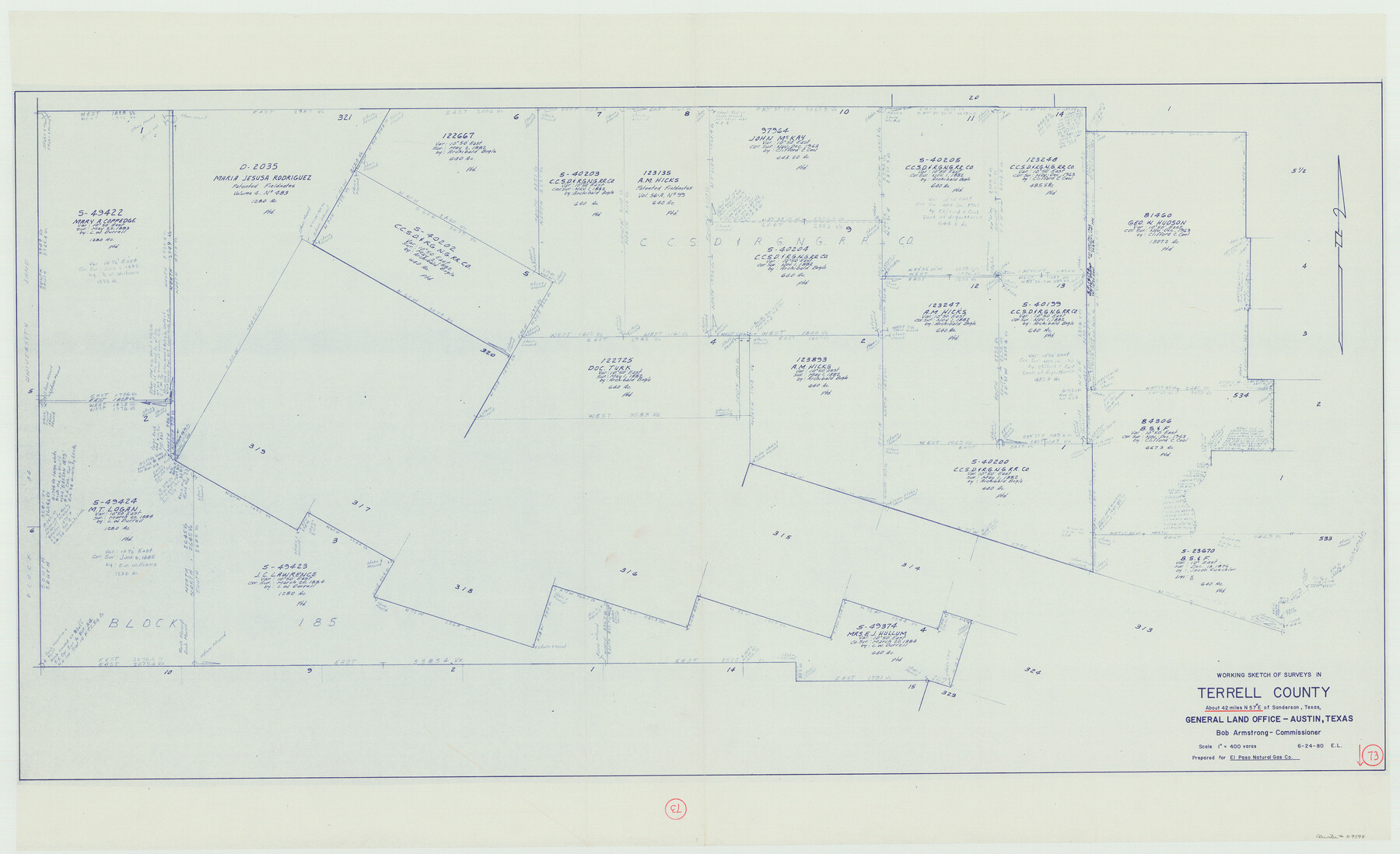
Terrell County Working Sketch 73
-
Map/Doc
69594
-
Collection
General Map Collection
-
Object Dates
6/24/1980 (Creation Date)
-
People and Organizations
Elisandro Leos (Draftsman)
-
Counties
Terrell
-
Subjects
Surveying Working Sketch
-
Height x Width
29.0 x 47.5 inches
73.7 x 120.7 cm
-
Scale
1" = 400 varas
Part of: General Map Collection
Kenedy County Working Sketch 2a

Print $20.00
- Digital $50.00
Kenedy County Working Sketch 2a
1907
Size 22.2 x 20.9 inches
Map/Doc 70003
Right of Way and Track Map of The Missouri, Kansas & Texas Railway of Texas

Print $40.00
- Digital $50.00
Right of Way and Track Map of The Missouri, Kansas & Texas Railway of Texas
1918
Size 25.4 x 75.5 inches
Map/Doc 64533
Bexar County Sketch File 49

Print $8.00
- Digital $50.00
Bexar County Sketch File 49
1874
Size 12.6 x 8.3 inches
Map/Doc 14530
Denton County Sketch File 24

Print $40.00
- Digital $50.00
Denton County Sketch File 24
1862
Size 12.2 x 15.1 inches
Map/Doc 20750
Presidio County Sketch File A

Print $20.00
- Digital $50.00
Presidio County Sketch File A
Size 25.6 x 21.4 inches
Map/Doc 11700
Fort Bend County Working Sketch 28

Print $20.00
- Digital $50.00
Fort Bend County Working Sketch 28
1982
Size 15.8 x 20.1 inches
Map/Doc 69234
Llano County Sketch File 13

Print $4.00
- Digital $50.00
Llano County Sketch File 13
1891
Size 9.2 x 15.3 inches
Map/Doc 30387
Duval County Working Sketch 34

Print $20.00
- Digital $50.00
Duval County Working Sketch 34
1953
Size 35.8 x 25.5 inches
Map/Doc 68758
Corrected Map of T&P Ry. surveys in counties Pecos-Presidio-El Paso

Print $20.00
- Digital $50.00
Corrected Map of T&P Ry. surveys in counties Pecos-Presidio-El Paso
1884
Size 27.9 x 39.0 inches
Map/Doc 2301
Leon County Working Sketch 9

Print $20.00
- Digital $50.00
Leon County Working Sketch 9
1949
Size 16.7 x 18.1 inches
Map/Doc 70408
Houston County Working Sketch 23

Print $20.00
- Digital $50.00
Houston County Working Sketch 23
1983
Size 19.4 x 25.3 inches
Map/Doc 66253
Freestone County Working Sketch 31

Print $20.00
- Digital $50.00
Freestone County Working Sketch 31
1995
Size 42.8 x 33.9 inches
Map/Doc 78205
You may also like
Harris County Aerial Photograph Index Sheet 9

Print $20.00
- Digital $50.00
Harris County Aerial Photograph Index Sheet 9
1953
Size 22.1 x 16.6 inches
Map/Doc 83703
Flight Mission No. DQN-7K, Frame 94, Calhoun County

Print $20.00
- Digital $50.00
Flight Mission No. DQN-7K, Frame 94, Calhoun County
1953
Size 18.6 x 22.1 inches
Map/Doc 84485

Concho County Rolled Sketch 22

Print $20.00
- Digital $50.00
Concho County Rolled Sketch 22
1971
Size 24.6 x 28.8 inches
Map/Doc 5555
Flight Mission No. DQN-2K, Frame 4, Calhoun County

Print $20.00
- Digital $50.00
Flight Mission No. DQN-2K, Frame 4, Calhoun County
1953
Size 18.4 x 22.2 inches
Map/Doc 84221
Cass County Texas

Print $20.00
- Digital $50.00
Cass County Texas
1879
Size 17.7 x 21.3 inches
Map/Doc 4516
General Highway Map, Kerr County, Texas

Print $20.00
General Highway Map, Kerr County, Texas
1940
Size 25.0 x 18.4 inches
Map/Doc 79158
Atascosa County Sketch File 14

Print $40.00
- Digital $50.00
Atascosa County Sketch File 14
1870
Size 12.5 x 15.0 inches
Map/Doc 13773
Map of the Texas & Pacific Ry. Reserve West of the Pecos River

Print $20.00
- Digital $50.00
Map of the Texas & Pacific Ry. Reserve West of the Pecos River
1879
Size 41.2 x 29.9 inches
Map/Doc 65334
Henderson County Sketch File 3

Print $4.00
- Digital $50.00
Henderson County Sketch File 3
1852
Size 10.3 x 8.4 inches
Map/Doc 26321
West Part of Edwards County

Print $40.00
- Digital $50.00
West Part of Edwards County
1975
Size 58.7 x 38.5 inches
Map/Doc 73139
Hudspeth County Working Sketch 6

Print $20.00
- Digital $50.00
Hudspeth County Working Sketch 6
1920
Size 19.5 x 20.1 inches
Map/Doc 66287