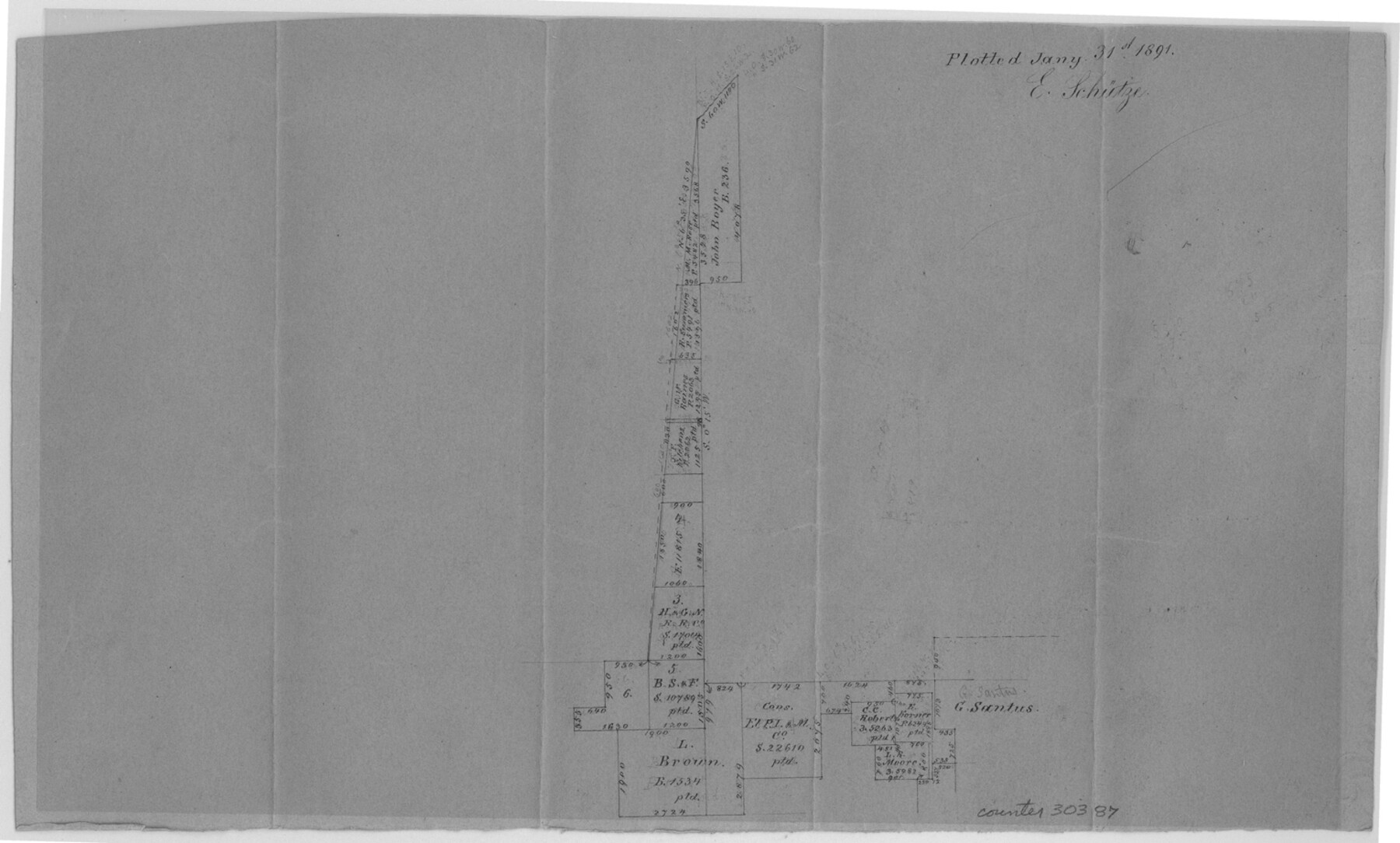
Llano County Sketch File 13
[Office sketch of surveys southeast of Llano]
-
Map/Doc
30387
-
Collection
General Map Collection
-
Object Dates
1/31/1891 (Creation Date)
-
People and Organizations
E. Schutze (Draftsman)
-
Counties
Llano
-
Subjects
Surveying Sketch File
-
Height x Width
9.2 x 15.3 inches
23.4 x 38.9 cm
-
Medium
paper, manuscript
Part of: General Map Collection
Jeff Davis County Working Sketch 6

Print $20.00
- Digital $50.00
Jeff Davis County Working Sketch 6
1928
Size 43.5 x 39.8 inches
Map/Doc 66501
Hansford County

Print $20.00
- Digital $50.00
Hansford County
1889
Size 22.9 x 18.5 inches
Map/Doc 3624
Milam County Rolled Sketch 5

Print $20.00
- Digital $50.00
Milam County Rolled Sketch 5
Size 27.9 x 39.8 inches
Map/Doc 6777
Bastrop County Sketch File 14

Print $6.00
- Digital $50.00
Bastrop County Sketch File 14
2018
Size 11.0 x 8.5 inches
Map/Doc 95248
Orange County Sketch File 24

Print $6.00
- Digital $50.00
Orange County Sketch File 24
Size 8.9 x 15.7 inches
Map/Doc 33353
Jefferson County Boundary File 1

Print $10.00
- Digital $50.00
Jefferson County Boundary File 1
Size 9.8 x 6.7 inches
Map/Doc 55514
Flight Mission No. BQR-20K, Frame 11, Brazoria County

Print $20.00
- Digital $50.00
Flight Mission No. BQR-20K, Frame 11, Brazoria County
1952
Size 18.7 x 22.3 inches
Map/Doc 84113
Texas & Pacific Ry Reserve west of the Pecos River

Print $40.00
- Digital $50.00
Texas & Pacific Ry Reserve west of the Pecos River
1880
Size 43.9 x 90.6 inches
Map/Doc 3047
Brewster County Sketch File 57

Print $6.00
- Digital $50.00
Brewster County Sketch File 57
2008
Size 11.0 x 8.5 inches
Map/Doc 88871
Maverick County Working Sketch 9

Print $20.00
- Digital $50.00
Maverick County Working Sketch 9
1959
Size 43.8 x 42.2 inches
Map/Doc 70901
Uvalde County Working Sketch 16

Print $20.00
- Digital $50.00
Uvalde County Working Sketch 16
1946
Size 37.0 x 27.2 inches
Map/Doc 72086
Culberson County Working Sketch 48

Print $40.00
- Digital $50.00
Culberson County Working Sketch 48
1972
Size 49.3 x 39.0 inches
Map/Doc 68502
You may also like
Johnson County Boundary File 2a

Print $22.00
- Digital $50.00
Johnson County Boundary File 2a
Size 9.0 x 8.3 inches
Map/Doc 55566
Brewster County Rolled Sketch 76

Print $20.00
- Digital $50.00
Brewster County Rolled Sketch 76
Size 17.3 x 19.0 inches
Map/Doc 5241
Flight Mission No. DQO-8K, Frame 134, Galveston County

Print $20.00
- Digital $50.00
Flight Mission No. DQO-8K, Frame 134, Galveston County
1952
Size 18.7 x 22.3 inches
Map/Doc 85199
Harris County Sketch File 3

Print $4.00
- Digital $50.00
Harris County Sketch File 3
Size 7.0 x 6.2 inches
Map/Doc 25334
Fannin County Sketch File 18

Print $20.00
- Digital $50.00
Fannin County Sketch File 18
1879
Size 16.7 x 22.2 inches
Map/Doc 11472
Briscoe County Sketch File H-1

Print $40.00
- Digital $50.00
Briscoe County Sketch File H-1
Size 21.7 x 18.2 inches
Map/Doc 11006
Jeff Davis County Working Sketch 24

Print $40.00
- Digital $50.00
Jeff Davis County Working Sketch 24
1958
Size 24.9 x 52.9 inches
Map/Doc 66519
Irion County Working Sketch 14

Print $40.00
- Digital $50.00
Irion County Working Sketch 14
1973
Size 56.3 x 30.8 inches
Map/Doc 66423
Polk County Sketch File 19

Print $4.00
- Digital $50.00
Polk County Sketch File 19
1863
Size 8.2 x 12.7 inches
Map/Doc 34165
Crockett County Rolled Sketch 57

Print $40.00
- Digital $50.00
Crockett County Rolled Sketch 57
1944
Size 52.7 x 28.0 inches
Map/Doc 8719

Gregg County Sketch File 15

Print $6.00
- Digital $50.00
Gregg County Sketch File 15
1946
Size 14.3 x 8.8 inches
Map/Doc 24616