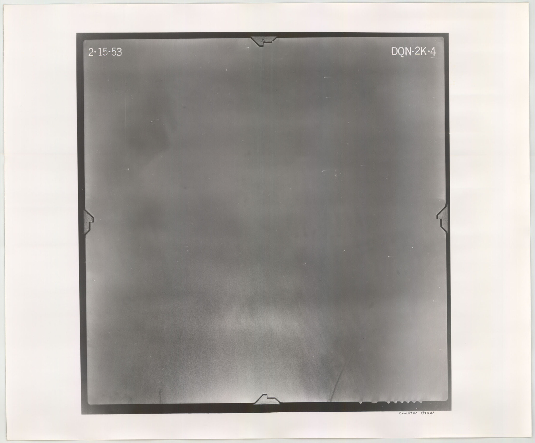
Flight Mission No. DQN-2K, Frame 4, Calhoun County
DQN-2K-4
-
Map/Doc
84221
-
Collection
General Map Collection
-
Object Dates
1953/2/15 (Creation Date)
-
People and Organizations
U. S. Department of Agriculture (Publisher)
-
Counties
Calhoun
-
Subjects
Aerial Photograph
-
Height x Width
18.4 x 22.2 inches
46.7 x 56.4 cm
-
Comments
Flown by Aero Exploration Company of Tulsa, Oklahoma.
Part of: General Map Collection

Flight Mission No. DAG-21K, Frame 100, Matagorda County

Print $20.00
- Digital $50.00
Flight Mission No. DAG-21K, Frame 100, Matagorda County
1952
Size 18.6 x 22.3 inches
Map/Doc 86429

2016 Official Travel Map, Texas

2016 Official Travel Map, Texas
Size 33.3 x 36.2 inches
Map/Doc 94297
Stonewall County Sketch File 5

Print $40.00
- Digital $50.00
Stonewall County Sketch File 5
Size 14.9 x 14.4 inches
Map/Doc 37206
Old Miscellaneous File 32

Print $4.00
- Digital $50.00
Old Miscellaneous File 32
1854
Size 11.0 x 8.6 inches
Map/Doc 75751
Stonewall County Rolled Sketch 26

Print $40.00
- Digital $50.00
Stonewall County Rolled Sketch 26
1954
Size 49.4 x 32.8 inches
Map/Doc 9965
Donley County

Print $20.00
- Digital $50.00
Donley County
1944
Size 43.6 x 37.7 inches
Map/Doc 77266
Dallas County Sketch File 2

Print $8.00
- Digital $50.00
Dallas County Sketch File 2
1855
Size 5.6 x 4.5 inches
Map/Doc 20396
[Surveys in Power and Hewetson's Colony along the Aransas River, shown as Aransasu and Chiltipin Creek]
![31, [Surveys in Power and Hewetson's Colony along the Aransas River, shown as Aransasu and Chiltipin Creek], General Map Collection](https://historictexasmaps.com/wmedia_w700/maps/31.tif.jpg)
Print $20.00
- Digital $50.00
[Surveys in Power and Hewetson's Colony along the Aransas River, shown as Aransasu and Chiltipin Creek]
Size 12.9 x 17.0 inches
Map/Doc 31
Zavala County Sketch File 24

Print $12.00
- Digital $50.00
Zavala County Sketch File 24
1885
Size 11.5 x 8.6 inches
Map/Doc 41382

You may also like
San Jacinto River and Tributaries, Texas - Survey of 1939

Print $20.00
- Digital $50.00
San Jacinto River and Tributaries, Texas - Survey of 1939
1939
Size 27.7 x 40.4 inches
Map/Doc 60309
Andrews County

Print $40.00
- Digital $50.00
Andrews County
1925
Size 42.3 x 55.4 inches
Map/Doc 4778
Flight Mission No. BRA-3M, Frame 124, Jefferson County

Print $20.00
- Digital $50.00
Flight Mission No. BRA-3M, Frame 124, Jefferson County
1953
Size 18.6 x 21.4 inches
Map/Doc 85398
Fort Bend County Rolled Sketch P

Print $20.00
- Digital $50.00
Fort Bend County Rolled Sketch P
Size 16.6 x 11.2 inches
Map/Doc 5907
Oldham County

Print $40.00
- Digital $50.00
Oldham County
1925
Size 40.5 x 52.1 inches
Map/Doc 73254
Brazoria County Rolled Sketch 38

Print $20.00
- Digital $50.00
Brazoria County Rolled Sketch 38
1949
Size 44.6 x 39.5 inches
Map/Doc 8460
Flight Mission No. DIX-10P, Frame 145, Aransas County

Print $20.00
- Digital $50.00
Flight Mission No. DIX-10P, Frame 145, Aransas County
1956
Size 18.7 x 22.3 inches
Map/Doc 83947
Flight Mission No. BQY-15M, Frame 10, Harris County

Print $20.00
- Digital $50.00
Flight Mission No. BQY-15M, Frame 10, Harris County
1953
Size 18.5 x 22.3 inches
Map/Doc 85308
Presidio County Rolled Sketch 70

Print $20.00
- Digital $50.00
Presidio County Rolled Sketch 70
1927
Size 37.1 x 13.9 inches
Map/Doc 7360
Flight Mission No. DIX-8P, Frame 94, Aransas County

Print $20.00
- Digital $50.00
Flight Mission No. DIX-8P, Frame 94, Aransas County
1956
Size 18.5 x 22.3 inches
Map/Doc 83919
Flight Mission No. CUG-2P, Frame 8, Kleberg County

Print $20.00
- Digital $50.00
Flight Mission No. CUG-2P, Frame 8, Kleberg County
1956
Size 18.5 x 22.2 inches
Map/Doc 86180
[Sketch of Survey 9, Block Z3]
![93089, [Sketch of Survey 9, Block Z3], Twichell Survey Records](https://historictexasmaps.com/wmedia_w700/maps/93089-1.tif.jpg)
Print $2.00
- Digital $50.00
[Sketch of Survey 9, Block Z3]
Size 8.9 x 7.3 inches
Map/Doc 93089