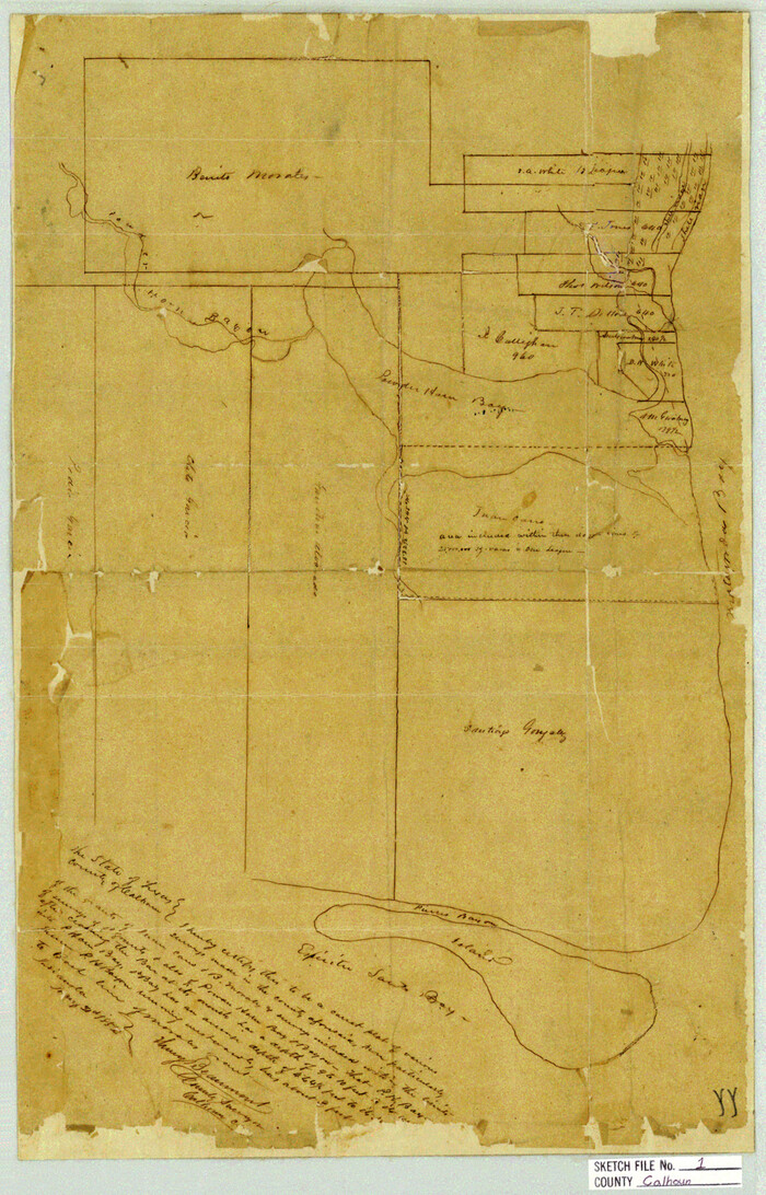
Calhoun County Sketch File 1
1855

Calhoun County Sketch File 2
1856

Calhoun County Sketch File 12

Calhoun County Sketch File 15
1929
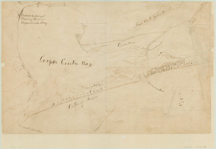
[Aransas and Corpus Christi Bays]
1839

San Antonio Bay and Vicinity in Aransas and Calhoun Counties, showing Subdivsion for Mineral Development
1948

Texas Gulf Coast, from the Sabine River to the Rio Grande as Subdivided for Mineral Development; Matagorda, Calhoun and Aransas Counties
1976

Connected Map of the County of Victoria
1838

Plan of the City of Calhoun
1839
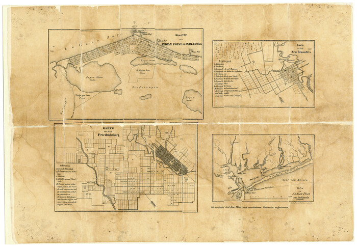
Karte von Indian Point od Indianola / Karte der Stadt Neu Braunfels / Karte der Stadt Friedrichsburg / Hafen von Indian Point oder Indianola
1850

Map of Matagorda & Carancahua Bays in Jackson, Calhoun & Matagorda Cos. showing subdivision thereof for mineral development
1937
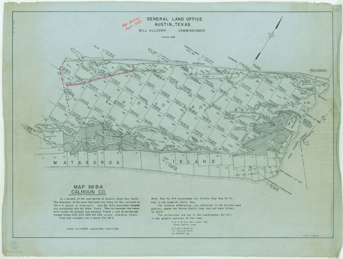
Map No. 8-A, Calhoun Co. - Revision of the East portion of Espiritu Santo Bay Tracts
1978

Map of Espiritu Santo Bay in Calhoun County showing subdivision therof for mineral development
1938
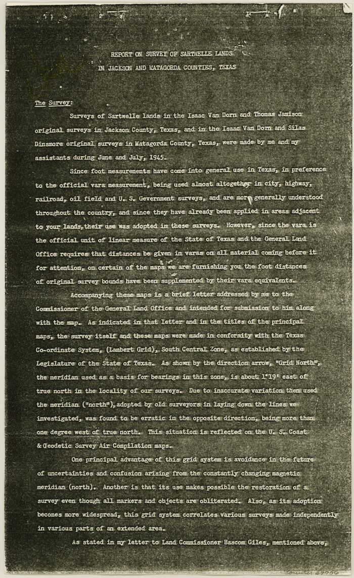
Jackson County Sketch File 28
1945

Texas Gulf Coast Map from the Sabine River to the Rio Grande as subdivided for mineral development
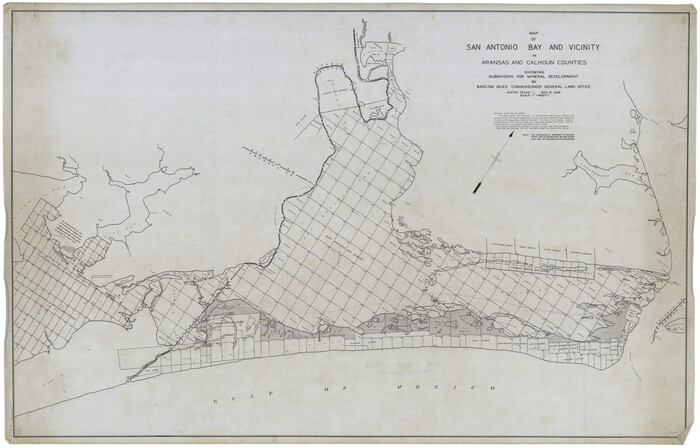
Map of San Antonio Bay and Vicinity in Aransas and Calhoun Counties showing subdivision for mineral development
1939
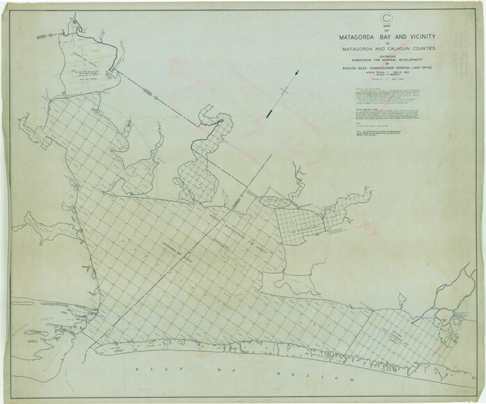
Map of Matagorda Bay & Vicinity in Matagorda & Calhoun Counties Showing Subdivision for Mineral Development
1939

Revised Map of Matagorda Bay and Vicinity in Matagorda and Calhoun Counties showing subdivision for mineral development
1941
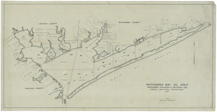
Matagorda Bay Oil Area, Matagorda, Calhoun & Jackson Cos.
1927

Portion of States submerged area in Lavaca Bay, Calhoun County, Texas
1921
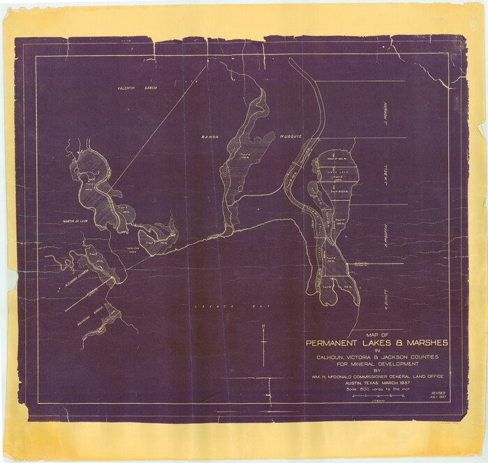
Permanent Lakes and Marshes in Calhoun, Victoria and Jackson Cos. for Mineral Development
1937

Map of Permanent Lakes & Marshes in Calhoun, Victoria & Jackson Counties for Mineral Development
1937
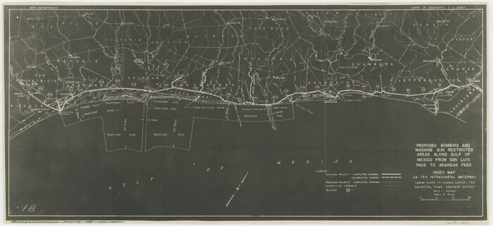
Proposed bombing and machine gun restricted areas along Gulf of Mexico from San Luis Pass to Aransas Pass
1941
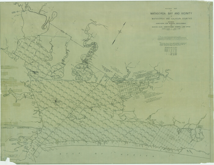
Revised map of Matagorda Bay and vicinity in Matagorda and Calhoun Counties showing subdivision for mineral development
1941
Calhoun County Sketch File 3
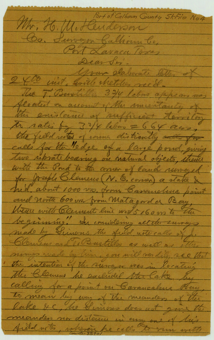
Calhoun County Sketch File 4
1908

Calhoun County Sketch File 1
1855
-
Size
17.1 x 11.0 inches
-
Map/Doc
11031
-
Creation Date
1855

Calhoun County Sketch File 2
1856
-
Size
20.2 x 15.8 inches
-
Map/Doc
11032
-
Creation Date
1856

Calhoun County Sketch File 12
-
Size
23.0 x 36.9 inches
-
Map/Doc
11033

Calhoun County Sketch File 15
1929
-
Size
36.8 x 25.4 inches
-
Map/Doc
11036
-
Creation Date
1929
![140, [Aransas and Corpus Christi Bays], General Map Collection](https://historictexasmaps.com/wmedia_w700/maps/140.tif.jpg)
[Aransas and Corpus Christi Bays]
1839
-
Size
11.4 x 16.5 inches
-
Map/Doc
140
-
Creation Date
1839

Plan of Calhoun
1839
-
Size
18.6 x 22.7 inches
-
Map/Doc
176
-
Creation Date
1839

Calhoun Co.
1948
-
Size
49.7 x 40.9 inches
-
Map/Doc
1792
-
Creation Date
1948

San Antonio Bay and Vicinity in Aransas and Calhoun Counties, showing Subdivsion for Mineral Development
1948
-
Size
37.0 x 74.5 inches
-
Map/Doc
1912
-
Creation Date
1948

Texas Gulf Coast, from the Sabine River to the Rio Grande as Subdivided for Mineral Development; Matagorda, Calhoun and Aransas Counties
1976
-
Size
43.0 x 90.9 inches
-
Map/Doc
1939
-
Creation Date
1976
![1945, [Victoria District], General Map Collection](https://historictexasmaps.com/wmedia_w700/maps/1945.tif.jpg)
[Victoria District]
-
Size
34.8 x 25.6 inches
-
Map/Doc
1945

Connected Map of the County of Victoria
1838
-
Size
79.7 x 49.0 inches
-
Map/Doc
1946
-
Creation Date
1838

Plan of the City of Calhoun
1839
-
Size
49.7 x 58.9 inches
-
Map/Doc
2175
-
Creation Date
1839

Karte von Indian Point od Indianola / Karte der Stadt Neu Braunfels / Karte der Stadt Friedrichsburg / Hafen von Indian Point oder Indianola
1850
-
Size
13.6 x 19.4 inches
-
Map/Doc
2182
-
Creation Date
1850

Map of Matagorda & Carancahua Bays in Jackson, Calhoun & Matagorda Cos. showing subdivision thereof for mineral development
1937
-
Size
26.4 x 37.1 inches
-
Map/Doc
2255
-
Creation Date
1937

Map No. 8-A, Calhoun Co. - Revision of the East portion of Espiritu Santo Bay Tracts
1978
-
Size
21.2 x 28.0 inches
-
Map/Doc
2498
-
Creation Date
1978

Map of Espiritu Santo Bay in Calhoun County showing subdivision therof for mineral development
1938
-
Size
38.6 x 42.9 inches
-
Map/Doc
2499
-
Creation Date
1938

Jackson County Sketch File 28
1945
-
Size
14.2 x 8.7 inches
-
Map/Doc
27706
-
Creation Date
1945

Texas Gulf Coast Map from the Sabine River to the Rio Grande as subdivided for mineral development
-
Size
46.0 x 91.3 inches
-
Map/Doc
2901

Map of San Antonio Bay and Vicinity in Aransas and Calhoun Counties showing subdivision for mineral development
1939
-
Size
40.4 x 62.8 inches
-
Map/Doc
2925
-
Creation Date
1939

Map of Matagorda Bay & Vicinity in Matagorda & Calhoun Counties Showing Subdivision for Mineral Development
1939
-
Size
46.1 x 55.5 inches
-
Map/Doc
2927
-
Creation Date
1939

Revised Map of Matagorda Bay and Vicinity in Matagorda and Calhoun Counties showing subdivision for mineral development
1941
-
Size
44.3 x 60.0 inches
-
Map/Doc
2933
-
Creation Date
1941

Matagorda Bay Oil Area, Matagorda, Calhoun & Jackson Cos.
1927
-
Size
34.9 x 66.8 inches
-
Map/Doc
2934
-
Creation Date
1927

Portion of States submerged area in Lavaca Bay, Calhoun County, Texas
1921
-
Size
23.0 x 27.0 inches
-
Map/Doc
2940
-
Creation Date
1921

Permanent Lakes and Marshes in Calhoun, Victoria and Jackson Cos. for Mineral Development
1937
-
Size
36.9 x 38.9 inches
-
Map/Doc
2973
-
Creation Date
1937

Map of Permanent Lakes & Marshes in Calhoun, Victoria & Jackson Counties for Mineral Development
1937
-
Size
31.3 x 37.2 inches
-
Map/Doc
3021
-
Creation Date
1937

Proposed bombing and machine gun restricted areas along Gulf of Mexico from San Luis Pass to Aransas Pass
1941
-
Size
11.1 x 24.1 inches
-
Map/Doc
3024
-
Creation Date
1941

Revised map of Matagorda Bay and vicinity in Matagorda and Calhoun Counties showing subdivision for mineral development
1941
-
Size
43.4 x 56.6 inches
-
Map/Doc
3098
-
Creation Date
1941

Calhoun County
1882
-
Size
22.7 x 18.7 inches
-
Map/Doc
3359
-
Creation Date
1882

Calhoun County Sketch File 3
-
Size
8.0 x 12.0 inches
-
Map/Doc
35899

Calhoun County Sketch File 4
1908
-
Size
11.0 x 6.9 inches
-
Map/Doc
35901
-
Creation Date
1908