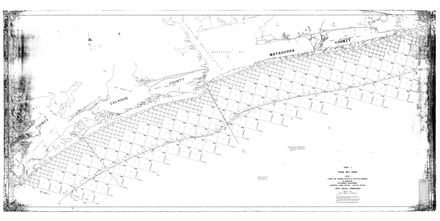
Texas Gulf Coast Map from the Sabine River to the Rio Grande as subdivided for mineral development
K-3-35; K-3-36; K-3-37; K-3-38
-
Map/Doc
2901
-
Collection
General Map Collection
-
People and Organizations
General Land Office (Publisher)
-
Counties
Matagorda Calhoun Aransas
-
Subjects
Energy Offshore Submerged Area
-
Height x Width
46.0 x 91.3 inches
116.8 x 231.9 cm
-
Comments
Obsolete as of 1967.
Part of: General Map Collection
Crockett County Rolled Sketch 27

Print $20.00
- Digital $50.00
Crockett County Rolled Sketch 27
1925
Size 20.8 x 38.0 inches
Map/Doc 5586
Flight Mission No. CUG-1P, Frame 75, Kleberg County

Print $20.00
- Digital $50.00
Flight Mission No. CUG-1P, Frame 75, Kleberg County
1956
Size 18.5 x 22.3 inches
Map/Doc 86140
Carte d'un Nouveau Monde, entre le Nouveau Mexique, et la Mer Glacialle

Print $20.00
- Digital $50.00
Carte d'un Nouveau Monde, entre le Nouveau Mexique, et la Mer Glacialle
1698
Size 11.5 x 18.1 inches
Map/Doc 96555
Hall County Sketch File 16

Print $20.00
- Digital $50.00
Hall County Sketch File 16
1892
Size 24.0 x 35.5 inches
Map/Doc 11608
Hood County Sketch File 18

Print $4.00
- Digital $50.00
Hood County Sketch File 18
Size 8.4 x 9.6 inches
Map/Doc 26601
Jeff Davis County Working Sketch Graphic Index - central part

Print $40.00
- Digital $50.00
Jeff Davis County Working Sketch Graphic Index - central part
1982
Size 55.7 x 42.6 inches
Map/Doc 76593
Controlled Mosaic by Jack Amman Photogrammetric Engineers, Inc - Sheet 26

Print $20.00
- Digital $50.00
Controlled Mosaic by Jack Amman Photogrammetric Engineers, Inc - Sheet 26
1954
Size 20.0 x 24.0 inches
Map/Doc 83477
San Saba County Sketch File 17

Print $8.00
- Digital $50.00
San Saba County Sketch File 17
1918
Size 11.4 x 8.8 inches
Map/Doc 36456
Gillespie County Sketch File 6

Print $4.00
- Digital $50.00
Gillespie County Sketch File 6
Size 6.4 x 11.0 inches
Map/Doc 24139
Rockwall County Working Sketch 4

Print $20.00
- Digital $50.00
Rockwall County Working Sketch 4
1966
Size 34.9 x 28.9 inches
Map/Doc 63596
Shelby County Sketch File 34

Print $3.00
- Digital $50.00
Shelby County Sketch File 34
1847
Size 10.1 x 15.7 inches
Map/Doc 36674
Tom Green County Sketch File 73

Print $12.00
- Digital $50.00
Tom Green County Sketch File 73
1949
Size 11.2 x 8.8 inches
Map/Doc 38244
You may also like
Houston County Sketch File 20

Print $6.00
- Digital $50.00
Houston County Sketch File 20
1884
Size 16.9 x 11.3 inches
Map/Doc 26787
[Gulf Coast of Texas]
![72705, [Gulf Coast of Texas], General Map Collection](https://historictexasmaps.com/wmedia_w700/maps/72705.tif.jpg)
Print $20.00
- Digital $50.00
[Gulf Coast of Texas]
1881
Size 28.7 x 18.2 inches
Map/Doc 72705
[Sketch for Mineral Application 19560 - 19588 - San Bernard River]
![65579, [Sketch for Mineral Application 19560 - 19588 - San Bernard River], General Map Collection](https://historictexasmaps.com/wmedia_w700/maps/65579.tif.jpg)
Print $40.00
- Digital $50.00
[Sketch for Mineral Application 19560 - 19588 - San Bernard River]
1928
Size 33.0 x 98.6 inches
Map/Doc 65579
Hutchinson County Sketch File 5a

Print $6.00
- Digital $50.00
Hutchinson County Sketch File 5a
1900
Size 9.7 x 6.4 inches
Map/Doc 27195

Presidio County Working Sketch 3

Print $20.00
- Digital $50.00
Presidio County Working Sketch 3
1914
Size 21.5 x 15.9 inches
Map/Doc 71677

Gulf Oil Corp. Fishgide - Freeport

Gulf Oil Corp. Fishgide - Freeport
1960
Size 12.1 x 22.1 inches
Map/Doc 75979
Brazoria County NRC Article 33.136 Sketch 26

Print $24.00
Brazoria County NRC Article 33.136 Sketch 26
2025
Map/Doc 97471
Blanco County Sketch File 49

Print $12.00
- Digital $50.00
Blanco County Sketch File 49
Size 14.3 x 8.8 inches
Map/Doc 14691
Bastrop County Working Sketch 7

Print $20.00
- Digital $50.00
Bastrop County Working Sketch 7
1930
Size 32.7 x 29.7 inches
Map/Doc 67307
Hood County Sketch File 28

Print $84.00
- Digital $50.00
Hood County Sketch File 28
1880
Size 11.6 x 9.0 inches
Map/Doc 26631