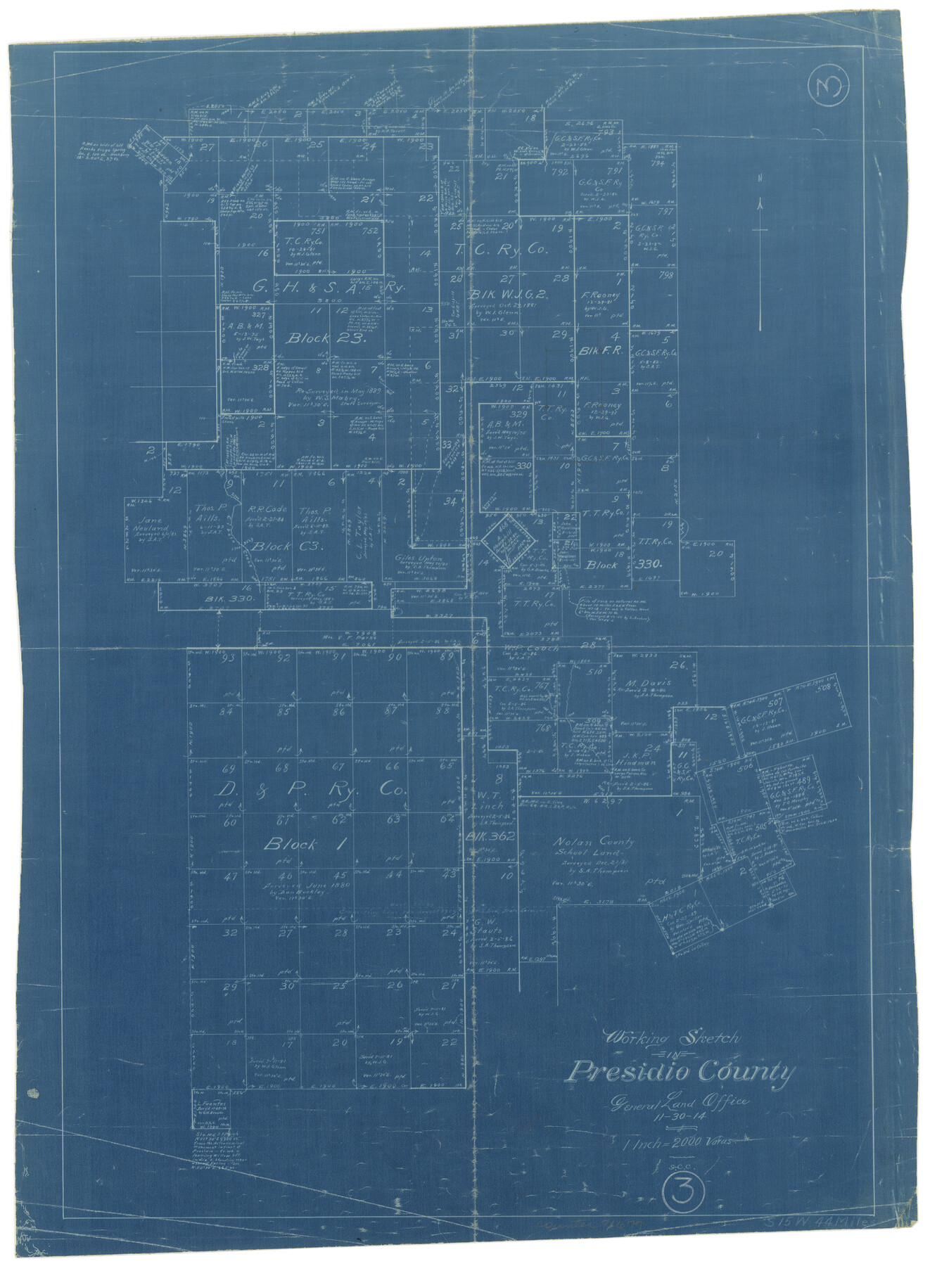
Presidio County Working Sketch 3
-
Map/Doc
71677
-
Collection
General Map Collection
-
Object Dates
11/30/1914 (Creation Date)
-
People and Organizations
S.C. Clark (Draftsman)
-
Counties
Presidio
-
Subjects
Surveying Working Sketch
-
Height x Width
21.5 x 15.9 inches
54.6 x 40.4 cm
-
Scale
1" = 2000 varas
Part of: General Map Collection
Travis County Appraisal District Plat Map 2_2105

Print $20.00
- Digital $50.00
Travis County Appraisal District Plat Map 2_2105
Size 21.6 x 26.5 inches
Map/Doc 94200
Right of Way and Track Map, Galveston, Harrisburg & San Antonio Ry. operated by the T. & N. O. R.R. Co., Victoria Division, Rosenberg to Beeville

Print $40.00
- Digital $50.00
Right of Way and Track Map, Galveston, Harrisburg & San Antonio Ry. operated by the T. & N. O. R.R. Co., Victoria Division, Rosenberg to Beeville
1918
Size 25.1 x 57.9 inches
Map/Doc 76157
Kenedy County Rolled Sketch 18

Print $20.00
- Digital $50.00
Kenedy County Rolled Sketch 18
1995
Size 29.5 x 39.2 inches
Map/Doc 6472
[Cotton Belt, St. Louis Southwestern Railway of Texas, Alignment through Smith County]
![64376, [Cotton Belt, St. Louis Southwestern Railway of Texas, Alignment through Smith County], General Map Collection](https://historictexasmaps.com/wmedia_w700/maps/64376-1.tif.jpg)
Print $20.00
- Digital $50.00
[Cotton Belt, St. Louis Southwestern Railway of Texas, Alignment through Smith County]
1903
Size 22.0 x 29.3 inches
Map/Doc 64376
[F. W. & D. C. Ry. Co. Alignment and Right of Way Map, Clay County]
![64736, [F. W. & D. C. Ry. Co. Alignment and Right of Way Map, Clay County], General Map Collection](https://historictexasmaps.com/wmedia_w700/maps/64736-GC.tif.jpg)
Print $20.00
- Digital $50.00
[F. W. & D. C. Ry. Co. Alignment and Right of Way Map, Clay County]
1927
Size 18.6 x 11.7 inches
Map/Doc 64736
Loving County Rolled Sketch 6

Print $20.00
- Digital $50.00
Loving County Rolled Sketch 6
Size 21.2 x 17.5 inches
Map/Doc 6637
Railroad and County Map of Texas

Print $20.00
- Digital $50.00
Railroad and County Map of Texas
1926
Size 42.9 x 45.2 inches
Map/Doc 65799
Flight Mission No. BRE-3P, Frame 77, Nueces County

Print $20.00
- Digital $50.00
Flight Mission No. BRE-3P, Frame 77, Nueces County
1956
Size 18.6 x 22.6 inches
Map/Doc 86818
Harrison County Sketch File 14

Print $32.00
- Digital $50.00
Harrison County Sketch File 14
1880
Size 11.2 x 8.8 inches
Map/Doc 26053
Controlled Mosaic by Jack Amman Photogrammetric Engineers, Inc - Sheet 27

Print $20.00
- Digital $50.00
Controlled Mosaic by Jack Amman Photogrammetric Engineers, Inc - Sheet 27
1954
Size 20.0 x 24.0 inches
Map/Doc 83478

Kleberg County Aerial Photograph Index Sheet 1

Print $20.00
- Digital $50.00
Kleberg County Aerial Photograph Index Sheet 1
1956
Size 19.6 x 23.6 inches
Map/Doc 83718
You may also like
Flight Mission No. DIX-6P, Frame 127, Aransas County

Print $20.00
- Digital $50.00
Flight Mission No. DIX-6P, Frame 127, Aransas County
1956
Size 19.1 x 23.0 inches
Map/Doc 83833
Part of west line of Dawson County rough sketch from surveyor's blueprint

Print $20.00
- Digital $50.00
Part of west line of Dawson County rough sketch from surveyor's blueprint
1915
Size 14.0 x 20.2 inches
Map/Doc 90628

The Texas and Pacific Ry. Co., Station Map, Iatan, Mitchell County, Texas

Print $20.00
- Digital $50.00
The Texas and Pacific Ry. Co., Station Map, Iatan, Mitchell County, Texas
1929
Size 11.0 x 18.4 inches
Map/Doc 64667
Map of Refugio

Print $20.00
- Digital $50.00
Map of Refugio
1851
Size 27.2 x 25.6 inches
Map/Doc 3989
Hamilton County Sketch File 22

Print $2.00
- Digital $50.00
Hamilton County Sketch File 22
Size 6.8 x 5.5 inches
Map/Doc 24947
Pecos County Rolled Sketch 29

Print $40.00
- Digital $50.00
Pecos County Rolled Sketch 29
1890
Size 27.3 x 49.9 inches
Map/Doc 9690
[H. &GN Blk. 2, HGN Blk. 1, I, S]
![93212, [H. &GN Blk. 2, HGN Blk. 1, I, S], Twichell Survey Records](https://historictexasmaps.com/wmedia_w700/maps/93212-1.tif.jpg)
Print $40.00
- Digital $50.00
[H. &GN Blk. 2, HGN Blk. 1, I, S]
Size 84.0 x 53.3 inches
Map/Doc 93212
Harris County Working Sketch 45

Print $20.00
- Digital $50.00
Harris County Working Sketch 45
1942
Size 26.6 x 31.9 inches
Map/Doc 65937
Tarrant County

Print $20.00
- Digital $50.00
Tarrant County
1873
Size 18.6 x 17.4 inches
Map/Doc 4631
Limestone County Sketch File 3

Print $4.00
- Digital $50.00
Limestone County Sketch File 3
1850
Size 7.9 x 10.7 inches
Map/Doc 30158
Orange County Working Sketch 32

Print $20.00
- Digital $50.00
Orange County Working Sketch 32
1956
Size 22.9 x 31.7 inches
Map/Doc 71364