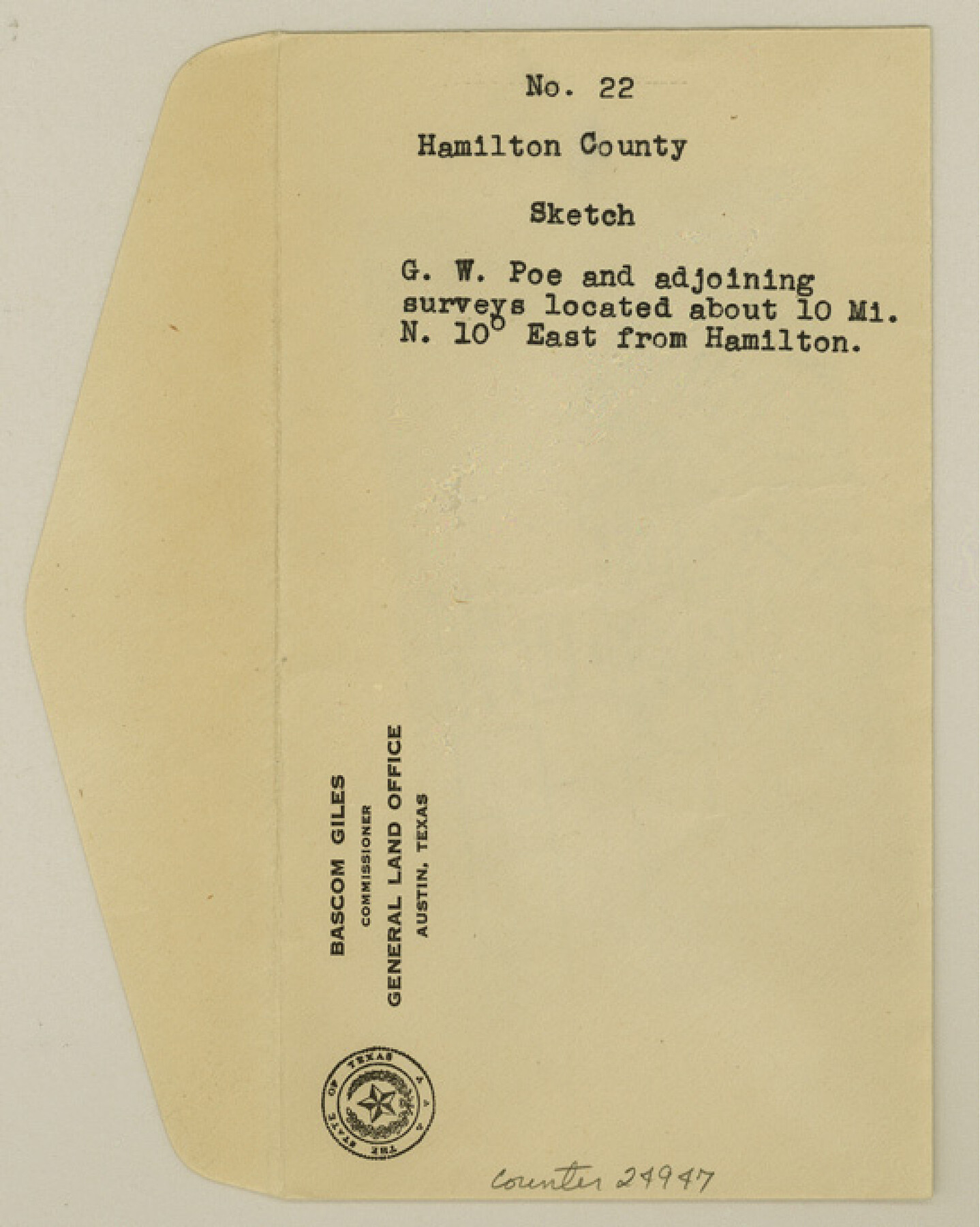
Hamilton County Sketch File 22
[Jacket only]
-
Map/Doc
24947
-
Collection
General Map Collection
-
Counties
Hamilton
-
Subjects
Surveying Sketch File
-
Height x Width
6.8 x 5.5 inches
17.3 x 14.0 cm
-
Medium
paper, print
Part of: General Map Collection
Parker County Working Sketch 10

Print $20.00
- Digital $50.00
Parker County Working Sketch 10
1969
Map/Doc 71460
Flight Mission No. DIX-7P, Frame 90, Aransas County

Print $20.00
- Digital $50.00
Flight Mission No. DIX-7P, Frame 90, Aransas County
1956
Size 18.8 x 22.4 inches
Map/Doc 83884
Zapata County Sketch File 8

Print $40.00
- Digital $50.00
Zapata County Sketch File 8
1917
Size 59.5 x 26.5 inches
Map/Doc 10438
Sherman County Sketch File 4

Print $4.00
- Digital $50.00
Sherman County Sketch File 4
1925
Size 8.7 x 5.8 inches
Map/Doc 36688

Orange County Sketch File 44

Print $4.00
- Digital $50.00
Orange County Sketch File 44
1895
Size 10.9 x 8.8 inches
Map/Doc 33387
Galveston County Working Sketch 6

Print $20.00
- Digital $50.00
Galveston County Working Sketch 6
1934
Size 43.5 x 38.0 inches
Map/Doc 69343
Hardin County Sketch File 24b

Print $4.00
- Digital $50.00
Hardin County Sketch File 24b
Size 6.4 x 8.0 inches
Map/Doc 25146
Culberson County Working Sketch 13

Print $20.00
- Digital $50.00
Culberson County Working Sketch 13
1922
Size 25.7 x 21.3 inches
Map/Doc 68465

Map of Comal County

Print $20.00
- Digital $50.00
Map of Comal County
1862
Size 18.6 x 22.0 inches
Map/Doc 3429

You may also like
A Map of Louisiana and Mexico

Print $20.00
- Digital $50.00
A Map of Louisiana and Mexico
1820
Size 43.8 x 32.9 inches
Map/Doc 94945

Fractional Township No. 7 South Range No. 1 West of the Indian Meridian, Indian Territory

Print $4.00
- Digital $50.00
Fractional Township No. 7 South Range No. 1 West of the Indian Meridian, Indian Territory
1898
Size 18.1 x 22.4 inches
Map/Doc 75145
Flight Mission No. DAG-24K, Frame 138, Matagorda County

Print $20.00
- Digital $50.00
Flight Mission No. DAG-24K, Frame 138, Matagorda County
1953
Size 18.4 x 15.8 inches
Map/Doc 86556
El Paso County Working Sketch 5

Print $20.00
- Digital $50.00
El Paso County Working Sketch 5
1916
Size 21.5 x 37.2 inches
Map/Doc 69027
Coast Chart No. 210 Aransas Pass and Corpus Christi Bay with the coast to latitude 27° 12' Texas

Print $20.00
- Digital $50.00
Coast Chart No. 210 Aransas Pass and Corpus Christi Bay with the coast to latitude 27° 12' Texas
1913
Size 27.6 x 18.2 inches
Map/Doc 72807
Val Verde County Working Sketch 47

Print $20.00
- Digital $50.00
Val Verde County Working Sketch 47
1946
Size 41.4 x 42.6 inches
Map/Doc 72182
Waller County Sketch File 3

Print $4.00
- Digital $50.00
Waller County Sketch File 3
Size 13.0 x 8.4 inches
Map/Doc 39598
Haskell County Boundary File 4b

Print $40.00
- Digital $50.00
Haskell County Boundary File 4b
Size 28.6 x 19.7 inches
Map/Doc 54576
Jeff Davis County Working Sketch 16

Print $20.00
- Digital $50.00
Jeff Davis County Working Sketch 16
1954
Size 19.4 x 17.3 inches
Map/Doc 66511
Edwards County Sketch File 6

Print $20.00
- Digital $50.00
Edwards County Sketch File 6
1880
Size 11.7 x 19.6 inches
Map/Doc 11419
San Patricio County Working Sketch 19

Print $20.00
- Digital $50.00
San Patricio County Working Sketch 19
1956
Size 36.1 x 41.3 inches
Map/Doc 63781