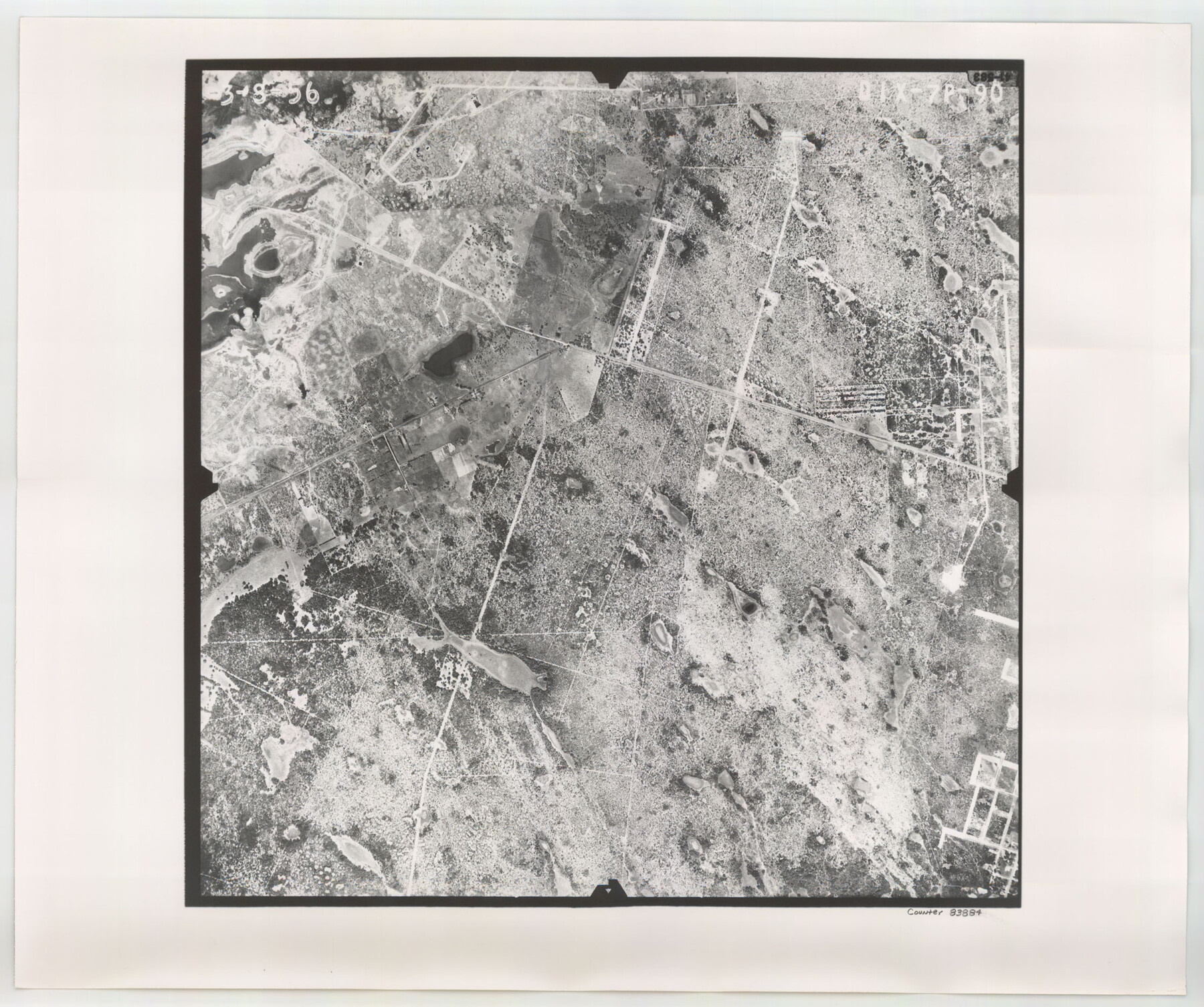
Flight Mission No. DIX-7P, Frame 90, Aransas County
DIX-7P-90
-
Map/Doc
83884
-
Collection
General Map Collection
-
Object Dates
1956/3/8 (Creation Date)
-
People and Organizations
U. S. Department of Agriculture (Publisher)
-
Counties
Aransas
-
Subjects
Aerial Photograph
-
Height x Width
18.8 x 22.4 inches
47.8 x 56.9 cm
-
Comments
Flown by V. L. Beavers and Associates of San Antonio, Texas.
Part of: General Map Collection
Flight Mission No. CRK-3P, Frame 61, Refugio County

Print $20.00
- Digital $50.00
Flight Mission No. CRK-3P, Frame 61, Refugio County
1956
Size 18.7 x 22.5 inches
Map/Doc 86903
Eastland County Boundary File 1

Print $10.00
- Digital $50.00
Eastland County Boundary File 1
Size 11.1 x 8.5 inches
Map/Doc 52780
Current Miscellaneous File 33

Print $6.00
- Digital $50.00
Current Miscellaneous File 33
1953
Size 10.8 x 8.2 inches
Map/Doc 73939
Flight Mission No. CLL-1N, Frame 39, Willacy County

Print $20.00
- Digital $50.00
Flight Mission No. CLL-1N, Frame 39, Willacy County
1954
Size 18.4 x 22.0 inches
Map/Doc 87020
Refugio County Working Sketch 1

Print $20.00
- Digital $50.00
Refugio County Working Sketch 1
1917
Size 18.8 x 18.0 inches
Map/Doc 63510

Hood County Sketch File 28

Print $84.00
- Digital $50.00
Hood County Sketch File 28
1880
Size 11.6 x 9.0 inches
Map/Doc 26631
Map of San Patricio District

Print $40.00
- Digital $50.00
Map of San Patricio District
1870
Size 43.8 x 51.4 inches
Map/Doc 1987
Map of Angelina County

Print $40.00
- Digital $50.00
Map of Angelina County
1899
Size 40.1 x 53.6 inches
Map/Doc 4868
Real County Rolled Sketch 5

Print $20.00
- Digital $50.00
Real County Rolled Sketch 5
Size 26.2 x 23.7 inches
Map/Doc 7455
Runnels County Rolled Sketch 50

Print $20.00
- Digital $50.00
Runnels County Rolled Sketch 50
Size 31.3 x 26.7 inches
Map/Doc 7535
Levee Improvement Districts Width of Floodways - South Sulphur River

Print $6.00
- Digital $50.00
Levee Improvement Districts Width of Floodways - South Sulphur River
1918
Size 19.6 x 34.1 inches
Map/Doc 65175
You may also like

Concho County Sketch File 17

Print $20.00
- Digital $50.00
Concho County Sketch File 17
1896
Size 10.2 x 20.9 inches
Map/Doc 11152

Map of Limestone County

Print $20.00
- Digital $50.00
Map of Limestone County
1858
Size 23.2 x 23.8 inches
Map/Doc 3819
Fisher County Sketch File 22

Print $12.00
- Digital $50.00
Fisher County Sketch File 22
Size 11.4 x 8.8 inches
Map/Doc 22651
[Sketch for Mineral Application 13436 - 13441]
![65581, [Sketch for Mineral Application 13436 - 13441], General Map Collection](https://historictexasmaps.com/wmedia_w700/maps/65581.tif.jpg)
Print $40.00
- Digital $50.00
[Sketch for Mineral Application 13436 - 13441]
1925
Size 56.8 x 42.4 inches
Map/Doc 65581
El Paso and the New Southwest

El Paso and the New Southwest
1923
Size 11.8 x 9.0 inches
Map/Doc 97047
Presidio County Rolled Sketch 47

Print $20.00
- Digital $50.00
Presidio County Rolled Sketch 47
1908
Size 30.8 x 32.2 inches
Map/Doc 7343
North end of Brazos Island

Print $20.00
- Digital $50.00
North end of Brazos Island
Size 26.0 x 18.3 inches
Map/Doc 72915
McMullen County Sketch File 16

Print $24.00
- Digital $50.00
McMullen County Sketch File 16
1876
Size 5.3 x 8.3 inches
Map/Doc 31365
Surveys in Austin's Colony along the east fork of Mill Creek

Print $20.00
- Digital $50.00
Surveys in Austin's Colony along the east fork of Mill Creek
1830
Size 23.7 x 12.6 inches
Map/Doc 208
Shelby County Rolled Sketch 7

Print $40.00
- Digital $50.00
Shelby County Rolled Sketch 7
1945
Size 61.1 x 44.4 inches
Map/Doc 9922