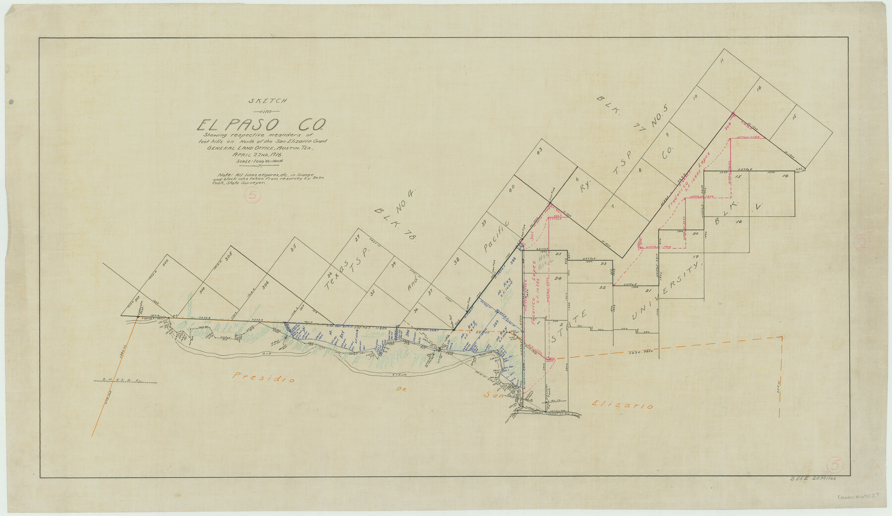
El Paso County Working Sketch 5
-
Map/Doc
69027
-
Collection
General Map Collection
-
Object Dates
4/22/1916 (Creation Date)
-
Counties
El Paso
-
Subjects
Surveying Working Sketch
-
Height x Width
21.5 x 37.2 inches
54.6 x 94.5 cm
-
Scale
1" = 1000 varas
Part of: General Map Collection
Blanco County Sketch File 30

Print $5.00
- Digital $50.00
Blanco County Sketch File 30
Size 9.1 x 10.6 inches
Map/Doc 14627
Menard County Working Sketch 11

Print $20.00
- Digital $50.00
Menard County Working Sketch 11
1939
Size 23.1 x 24.9 inches
Map/Doc 70958

Val Verde County Working Sketch 38

Print $20.00
- Digital $50.00
Val Verde County Working Sketch 38
1943
Size 14.8 x 18.9 inches
Map/Doc 72173
Kleberg County Rolled Sketch 10-27

Print $20.00
- Digital $50.00
Kleberg County Rolled Sketch 10-27
1952
Size 37.9 x 40.1 inches
Map/Doc 9402
Flight Mission No. DIX-8P, Frame 71, Aransas County

Print $20.00
- Digital $50.00
Flight Mission No. DIX-8P, Frame 71, Aransas County
1956
Size 18.8 x 22.4 inches
Map/Doc 83902
Travis County Appraisal District Plat Map 2_2105

Print $20.00
- Digital $50.00
Travis County Appraisal District Plat Map 2_2105
Size 21.6 x 26.5 inches
Map/Doc 94200
Fannin County Working Sketch 2

Print $3.00
- Digital $50.00
Fannin County Working Sketch 2
1911
Size 14.9 x 10.3 inches
Map/Doc 69156
Mills County Rolled Sketch 6

Print $20.00
- Digital $50.00
Mills County Rolled Sketch 6
2007
Size 24.4 x 36.6 inches
Map/Doc 88738
McLennan County Boundary File 4a

Print $8.00
- Digital $50.00
McLennan County Boundary File 4a
Size 14.1 x 8.6 inches
Map/Doc 56979
Harris County Working Sketch 51

Print $20.00
- Digital $50.00
Harris County Working Sketch 51
1947
Size 39.6 x 36.6 inches
Map/Doc 65943
Matagorda County Sketch File 1

Print $4.00
- Digital $50.00
Matagorda County Sketch File 1
1876
Size 13.0 x 8.8 inches
Map/Doc 30728
You may also like
Galveston County Rolled Sketch HB

Print $40.00
- Digital $50.00
Galveston County Rolled Sketch HB
1936
Size 65.4 x 33.3 inches
Map/Doc 9085
Hutchinson County Working Sketch 42

Print $20.00
- Digital $50.00
Hutchinson County Working Sketch 42
1978
Size 27.3 x 23.2 inches
Map/Doc 66402
Office Sketch of surveys on St. Joseph and Mustang Islands, Aransas, and Nueces Counties

Print $20.00
- Digital $50.00
Office Sketch of surveys on St. Joseph and Mustang Islands, Aransas, and Nueces Counties
1957
Size 42.6 x 18.0 inches
Map/Doc 1920
Brewster County Sketch File NS-4f

Print $8.00
- Digital $50.00
Brewster County Sketch File NS-4f
Size 8.9 x 11.3 inches
Map/Doc 15977
Reeves County Rolled Sketch 33

Print $20.00
- Digital $50.00
Reeves County Rolled Sketch 33
Size 24.7 x 36.9 inches
Map/Doc 7501
[Rockwall County School Land and adjacent Blocks]
![90758, [Rockwall County School Land and adjacent Blocks], Twichell Survey Records](https://historictexasmaps.com/wmedia_w700/maps/90758-1.tif.jpg)
Print $20.00
- Digital $50.00
[Rockwall County School Land and adjacent Blocks]
1904
Size 17.5 x 23.2 inches
Map/Doc 90758
Current Miscellaneous File 48

Print $32.00
- Digital $50.00
Current Miscellaneous File 48
Size 11.2 x 8.7 inches
Map/Doc 73996
[Blocks D3 and GP]
![91505, [Blocks D3 and GP], Twichell Survey Records](https://historictexasmaps.com/wmedia_w700/maps/91505-1.tif.jpg)
Print $20.00
- Digital $50.00
[Blocks D3 and GP]
Size 18.9 x 20.2 inches
Map/Doc 91505
Flight Mission No. DCL-6C, Frame 133, Kenedy County

Print $20.00
- Digital $50.00
Flight Mission No. DCL-6C, Frame 133, Kenedy County
1943
Size 18.6 x 22.3 inches
Map/Doc 85963
Lavaca County Working Sketch 25

Print $20.00
- Digital $50.00
Lavaca County Working Sketch 25
1986
Size 33.3 x 29.9 inches
Map/Doc 70378
Baylor County Sketch File 14

Print $4.00
- Digital $50.00
Baylor County Sketch File 14
1879
Size 13.0 x 8.2 inches
Map/Doc 14181
Wise County Rolled Sketch 9

Print $20.00
- Digital $50.00
Wise County Rolled Sketch 9
Size 35.2 x 24.2 inches
Map/Doc 93640