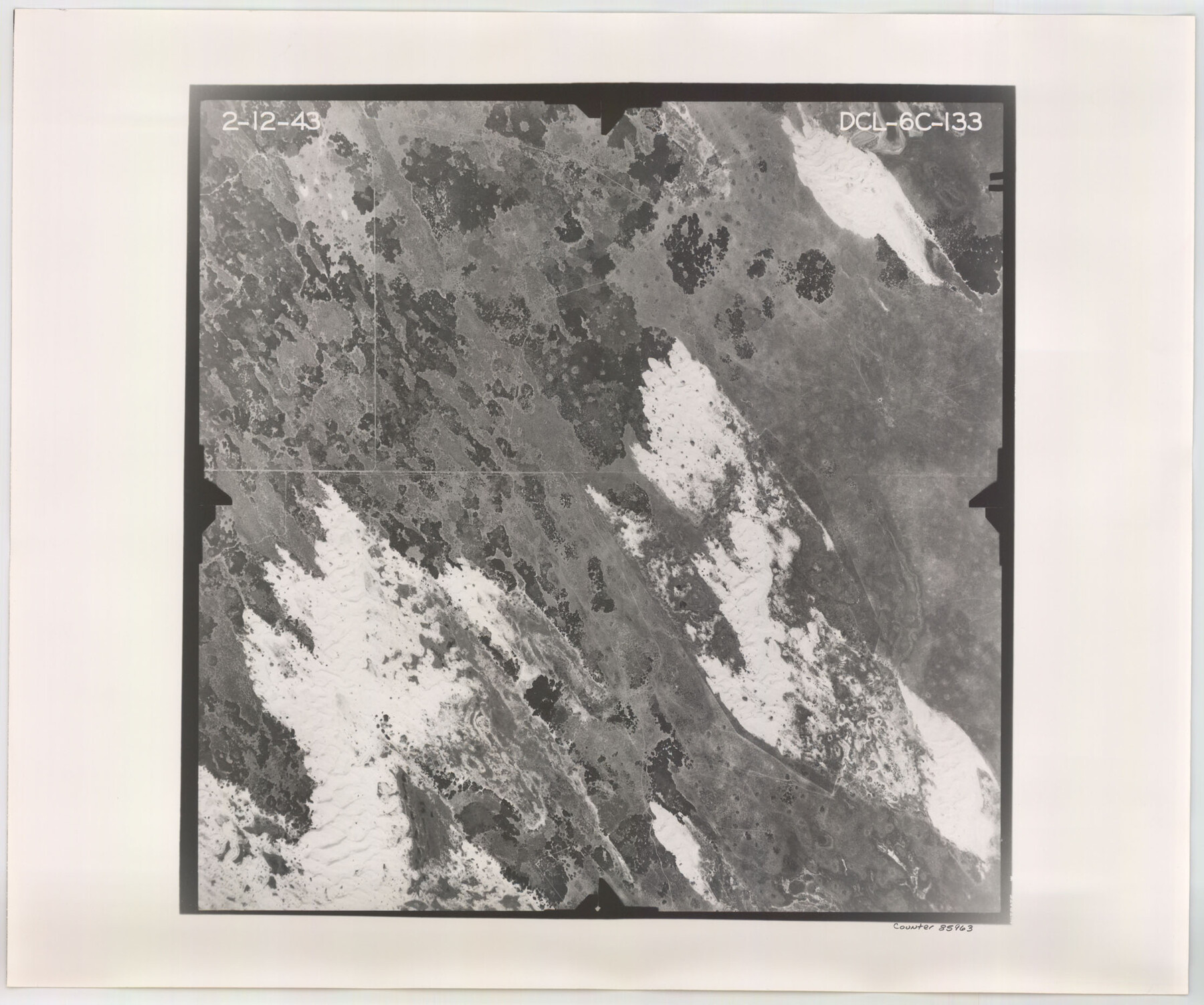
Flight Mission No. DCL-6C, Frame 133, Kenedy County
DCL-6C-133
-
Map/Doc
85963
-
Collection
General Map Collection
-
Object Dates
1943/2/12 (Creation Date)
-
People and Organizations
U. S. Department of Agriculture (Publisher)
-
Counties
Kenedy
-
Subjects
Aerial Photograph
-
Height x Width
18.6 x 22.3 inches
47.2 x 56.6 cm
-
Comments
Flown by Aerial Surveys of Pittsburgh, Inc. of Pittsburgh, Pennsylvania.
Part of: General Map Collection
Coryell County Sketch File 18

Print $2.00
- Digital $50.00
Coryell County Sketch File 18
Size 15.3 x 8.0 inches
Map/Doc 19379
Culberson County Working Sketch 63

Print $20.00
- Digital $50.00
Culberson County Working Sketch 63
1975
Size 34.1 x 24.9 inches
Map/Doc 68517
Tarrant County

Print $20.00
- Digital $50.00
Tarrant County
1885
Size 36.6 x 36.4 inches
Map/Doc 63056
Angelina County Working Sketch 58

Print $20.00
- Digital $50.00
Angelina County Working Sketch 58
2006
Size 24.1 x 36.0 inches
Map/Doc 83608
Grimes County Working Sketch 17

Print $20.00
- Digital $50.00
Grimes County Working Sketch 17
1996
Size 31.1 x 26.6 inches
Map/Doc 63308
Carte d'une partie des Côtes de l'Inde depuis Bombay jus'qu'a Surate, avec le détail des Habitations de cette Côte

Print $20.00
- Digital $50.00
Carte d'une partie des Côtes de l'Inde depuis Bombay jus'qu'a Surate, avec le détail des Habitations de cette Côte
1782
Size 13.2 x 18.2 inches
Map/Doc 97119
Red River County Working Sketch 81-3

Print $20.00
- Digital $50.00
Red River County Working Sketch 81-3
1987
Size 17.5 x 21.5 inches
Map/Doc 72066
Presidio County Sketch File C

Print $40.00
- Digital $50.00
Presidio County Sketch File C
Size 12.9 x 12.2 inches
Map/Doc 34426
Archer County Boundary File 7

Print $10.00
- Digital $50.00
Archer County Boundary File 7
Size 8.2 x 5.2 inches
Map/Doc 50116
Howard County Sketch File 13

Print $62.00
- Digital $50.00
Howard County Sketch File 13
1935
Size 15.0 x 13.3 inches
Map/Doc 26867
Newton County Sketch File 14

Print $6.00
- Digital $50.00
Newton County Sketch File 14
Size 16.4 x 10.2 inches
Map/Doc 32388
Flight Mission No. DCL-5C, Frame 75, Kenedy County

Print $20.00
- Digital $50.00
Flight Mission No. DCL-5C, Frame 75, Kenedy County
1943
Size 18.6 x 22.2 inches
Map/Doc 85858
You may also like
Goliad County Sketch File 17

Print $12.00
- Digital $50.00
Goliad County Sketch File 17
1851
Size 12.4 x 8.2 inches
Map/Doc 24249
Flight Mission No. DCL-7C, Frame 61, Kenedy County

Print $20.00
- Digital $50.00
Flight Mission No. DCL-7C, Frame 61, Kenedy County
1943
Size 15.4 x 15.2 inches
Map/Doc 86049
San Jacinto County Working Sketch 6

Print $20.00
- Digital $50.00
San Jacinto County Working Sketch 6
1934
Size 37.1 x 42.5 inches
Map/Doc 63719
[Map of Lynn County]
![4586, [Map of Lynn County], General Map Collection](https://historictexasmaps.com/wmedia_w700/maps/4586-1.tif.jpg)
Print $20.00
- Digital $50.00
[Map of Lynn County]
Size 22.4 x 17.8 inches
Map/Doc 4586
Terrell County Working Sketch 79

Print $40.00
- Digital $50.00
Terrell County Working Sketch 79
1983
Size 43.0 x 55.8 inches
Map/Doc 69600
Wise County Working Sketch 23

Print $20.00
- Digital $50.00
Wise County Working Sketch 23
1981
Size 43.6 x 36.9 inches
Map/Doc 72637
Hemphill County Rolled Sketch 7

Print $20.00
- Digital $50.00
Hemphill County Rolled Sketch 7
1902
Size 21.8 x 25.4 inches
Map/Doc 6189
McLennan County Working Sketch 9

Print $20.00
- Digital $50.00
McLennan County Working Sketch 9
2008
Size 23.0 x 28.9 inches
Map/Doc 88768
Kent County Rolled Sketch 2

Print $20.00
- Digital $50.00
Kent County Rolled Sketch 2
1950
Size 22.6 x 40.8 inches
Map/Doc 6473
Jasper County Working Sketch 19

Print $20.00
- Digital $50.00
Jasper County Working Sketch 19
1939
Size 15.8 x 15.8 inches
Map/Doc 66481
Llano County Working Sketch 6

Print $20.00
- Digital $50.00
Llano County Working Sketch 6
1961
Size 15.8 x 20.8 inches
Map/Doc 70624
